Bachelor Mountain
Length: 3.7 miles
Elevation Gain: 1,100 feet.
Bachelor Mountain is one of the predominate peaks of the Old Oregon Cascades, located just to the west of Mt Jefferson. The views form the top, at the site of an old fire lookout, are breathtaking, and the hike up to it is littered with wildflowers during the early summer month. And because of its relatively short distance, this hike it great to pair with Coffin Mountain, if you are one of those demented types that love steep hikes and 1,000 feet of vertical just isn’t enough for you in one day.
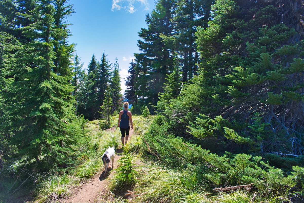
Begin you hike from the unmarked trailhead. You will know your there when the road end and the vertical cliff face of Coffin Mountain seems to loom above you. Head out of the west end of the parking area and immediately begin climbing through the trees. You will have to endure a couple switchbacks as your work your way up the southwestern ridge of the mountain.
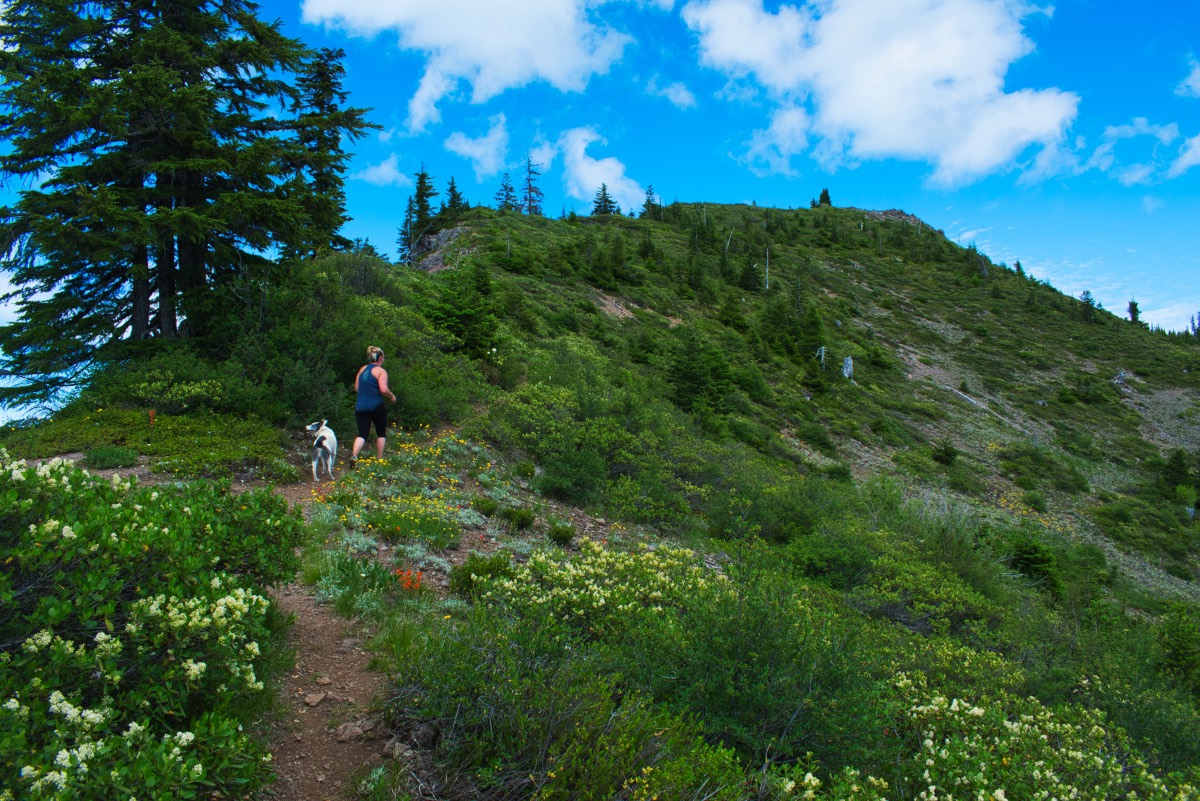
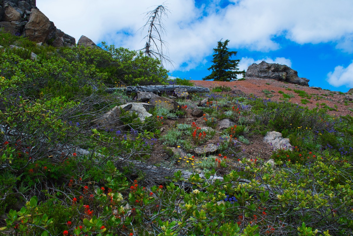
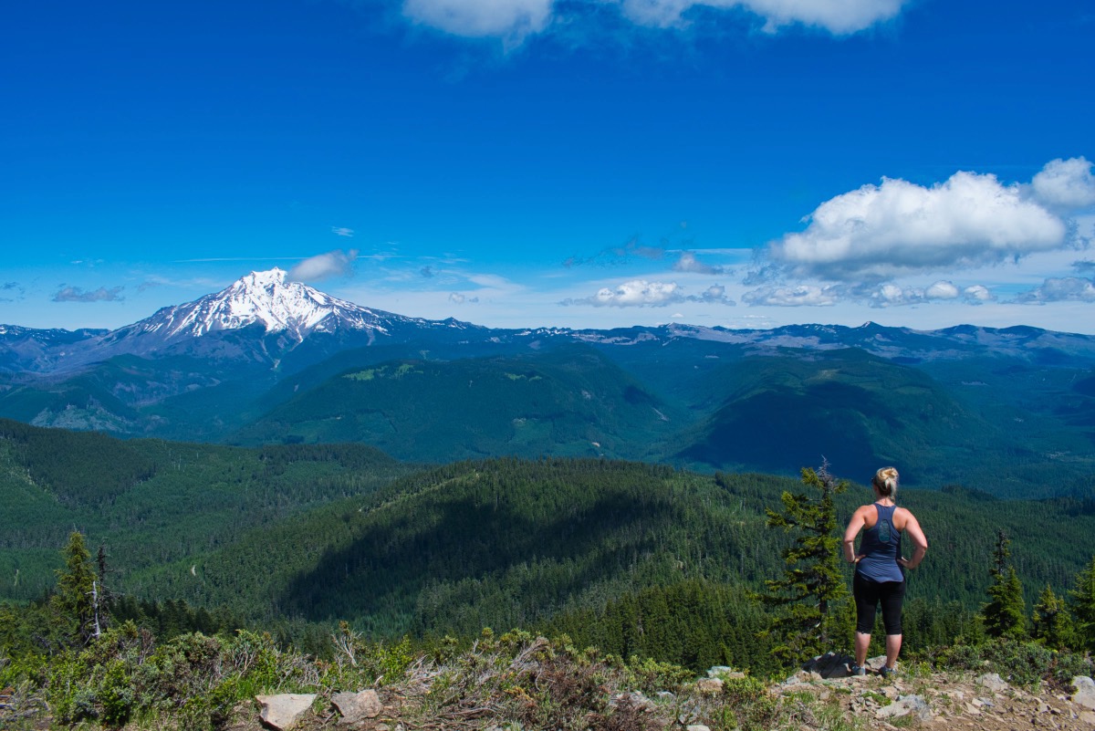
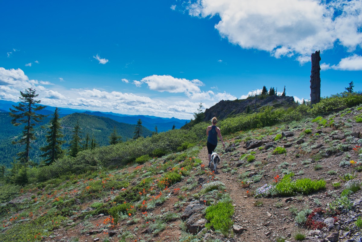
After a half a mile, you will find yourself near the top of the ridge as your break out of the trees. The views really open up here and wildflowers dot the rocky hillside. You may be tempted to think that high spot ahead of you is the summit, but you would be wrong. Just keep plodding uphill and soon you will find yourself on that high spot, and it will be nice and flat with even a slight downhill grade so your legs can catch their breath.
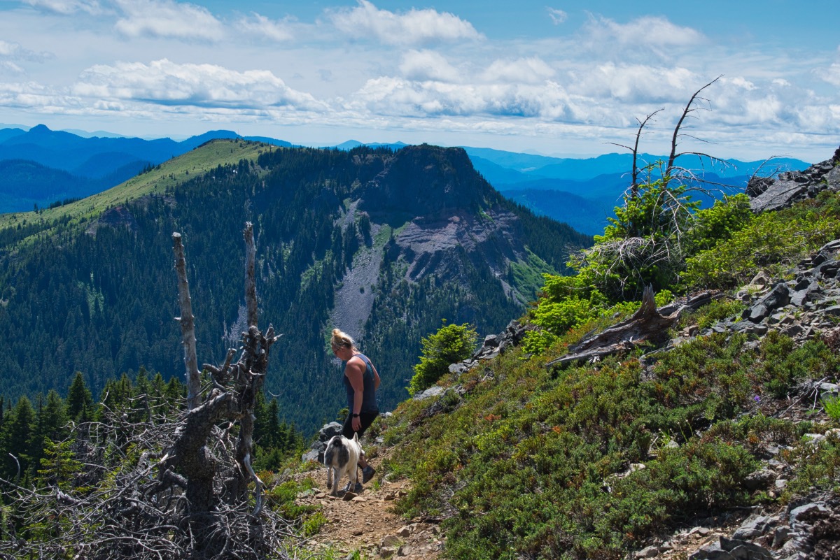
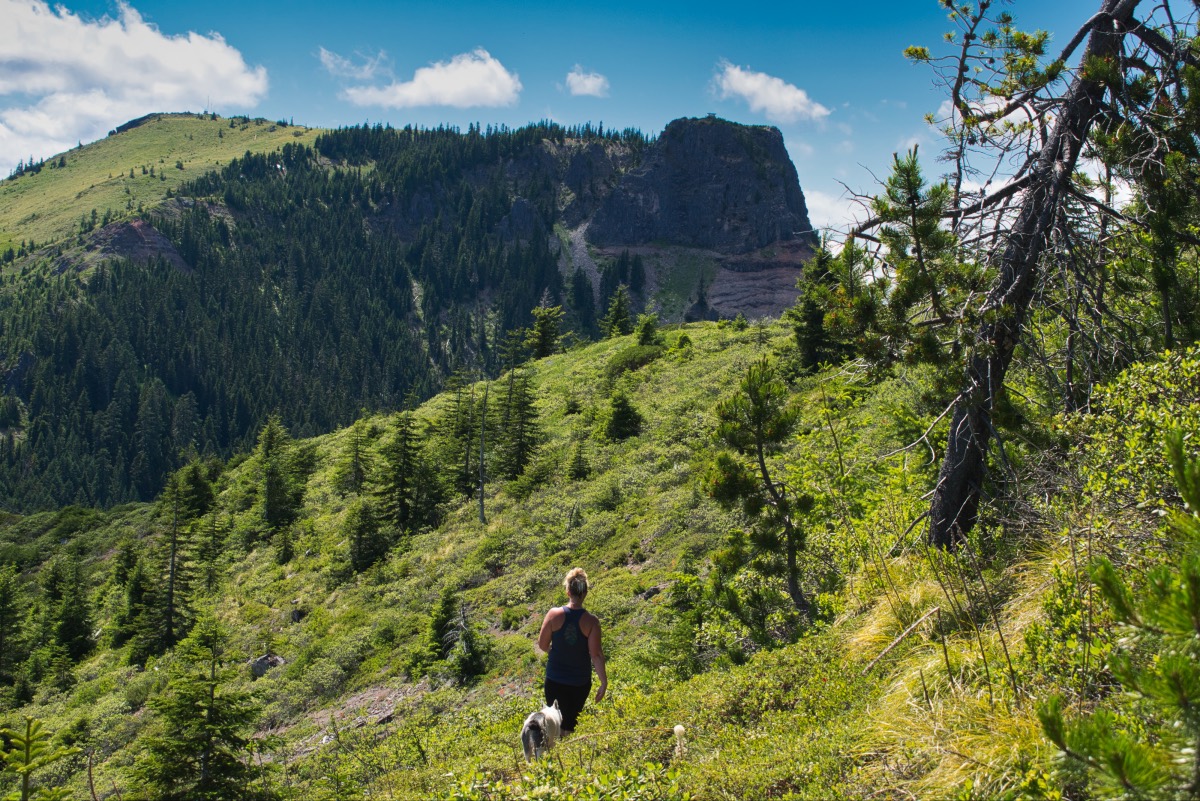
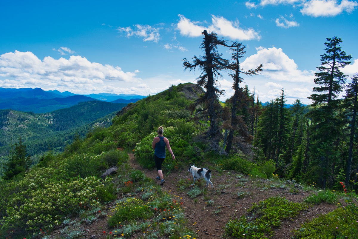
At 1.2 miles, you will dive back into the trees and encounter the intersection with the Bugaboo Ridge Trail. Make a sharp left and begin your steep and final climb towards the top. A little over a quarter mile from the junction, you will again emerge from the trees. The views just continue to impress as you climb the ridgeline. As you near the summit, you will have to pass over a few scree fields as the trail switchbacks up the final 100 vertical feet. The sides of the mountain are very steep here, but the trail is well built through the scree.
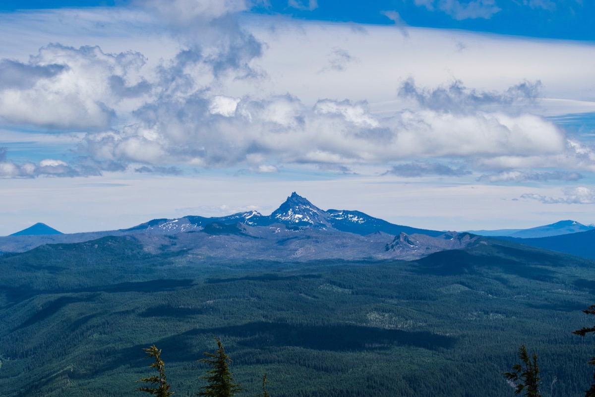
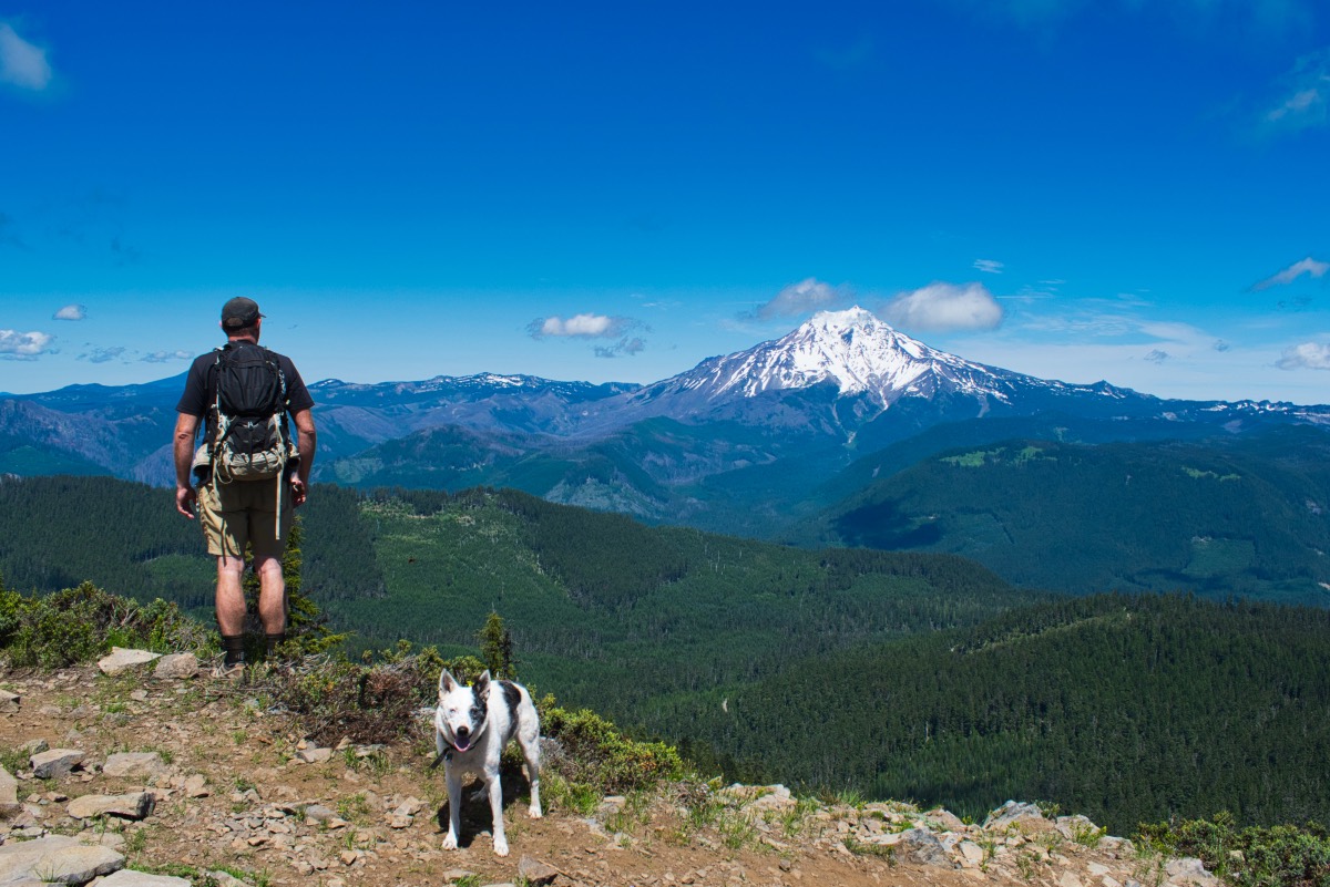
Once you reach the summit, plop down and enjoy the view for a while. They can range all the way form Mt Adams to the Three Sisters. Mt Jefferson looks close enough to touch and Three Fingered Jack’s craggy spires create a feast for your eyeballs.
Directions
If you are coming from the south, follow Highway 22 eighteen miles and make a left on NF-11, Straight Creek Road. If you are coming from the north, follow Highway 22 east for three miles past Marin Forks, then making the right onto NF-11.
Once on NF-11, follow the paved road for 4.1 miles before bearing right onto a wide gravel road. The road is in good shape and is suitable for most passenger cars. Follow this main road as it rounds Buck Mountain and continues past the trailhead for Coffin Mountain. After 4.6 miles, you will reach an intersection. Turn left and the road will end at the trailhead half a mile further.
Things to Know
Passes: No passes required.
Dogs: Allowed and must be on leash or under voice command at all times.
Usage: Moderate
Open Season: The trail will usually be snow free by Mid-June, most years.
Wild Flowers: Wildflowers can usually be found blooming along the trail beginning in late June and through July.


