Barnes Butte
Length: 2.7 miles
Elevation Gain: 550 feet
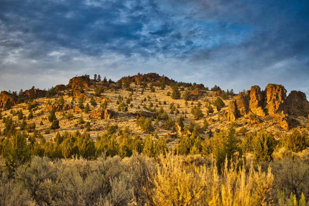
Barnes Butte is a rhyolite dome that was once part of the Crooked River caldera, an ancient volcano that also made up Grizzly Mountain, Gray Butte, Smith Rock, and Powell Butte. The long extinct volcano now makes for a quick but thigh burning hike right in the heart of Prineville.
The hike begins at was once an old homestead and ranch house. Head through the gate at the west end of the parking lot and follow the old dirt road. In less than 1000 feet, the trail will T on an embankment for an old irrigation pond. There will frequently be raptors nested on a pole that is located within the old pond. Head north, to your left, and continue along the road. The road will remain fairly flat with slight ups and downs and it travels on the border between the old fields and the butte.
After about ¾ of a mile, a trail will head through a gate to the east and towards the butte. Exit the road you were walking on and begin the fairly steep and steady climb. You will climb over 500 feet in the next 2/3 of a mile. The trail will follow another road for close to half a mile until it reaches the site of a couple old cinnabar mines. The mines were cleaned up and closed in 2015 and the holes now have bars blocking their entrance.
Once you pass the mines, the trail becomes much rockier. Avoid the switchback that heads to your right after the last mine, even though that road looks in much better shape, and continue up the rocky, kind of washed out road to the north. You will quickly reach a saddle, with the summit of Barnes Butte a little over 500 feet to your left. Here, the trail remains steep but the path drops down to a more normal, single track trail.
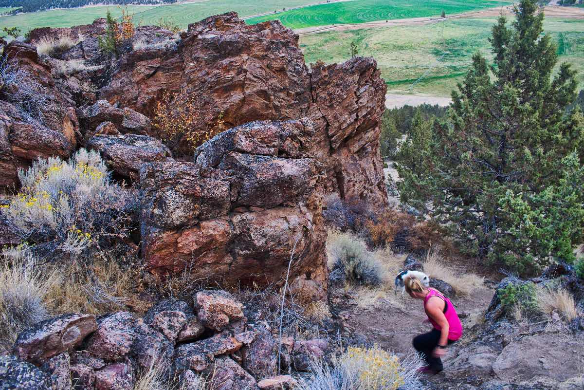
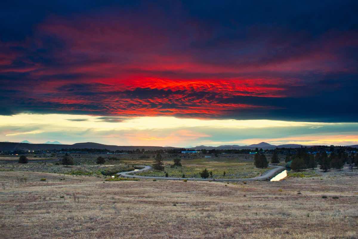
The final push to the summit requires a little bit of rock scrambling. There will be a couple of stretches where you need to climb about 10 feet of rock. These are pretty easy to get up and aren’t super steep by any means, but may require you to use your hands. Just be extra careful if they are wet as they can get on the slippery side. There isn’t much of a trail for this top bit, but try to follow the user created trails and don’t get sucked off to your right too much, as the summit block is much more vertical as you work your way around the north side. Once you climb over to the summit, soak in the views of all of Prineville and the surrounding farms.
Directions
The Barnes Butte Trailhead is located within the city of Prineville's Barnes Butte property. As you enter Prineville, remain on 3rd St (Highway 26) until you reach the eastern most stoplight in town at Combs Flat Road. Head north on the road up the hill towards Barnes Butte Elementary School. At the four-way intersection at the top of the hill, head straight and continue past the school and into the old ranch property. The road will make a sharp right at some old corrals and the parking area is dead ahead.
Things to Know
Passes: No passes are required
Dogs: Allowed and must be on leash.
Usage: Light
Open Season: All year. Soil on the butte itself is clayey and can get very slippery and sticky during snowmelt.


