Black Crater
Distance: 7.0 miles
Elevation Gain: 2,250 feet.
Black Crater is a shield volcano located along the east side of McKenize Pass and offers some amazing summit views. The mountain is one of a group of Central Oregon shield volcanos which also include North Sister, Mt Washington, Broken Top, and Black Butte. While glaciers have carved a cirque into its northern flank, because of its slightly lower elevation and more easterly setting, it hasn’t been nearly eroded as some of the other Cascades. This means you can just walk to the summit without any sketchy climbing involved. If you call hiking nonstop uphill for 3.5 miles “walking.”
The trail to Balck Crater begins at the Black Crater trailhead, just east of the summit of McKenzie Pass. If your feeling a little tight form your drive here, you may want to stretch in the parking lot, because this trail doesn’t give you a chance to warm up. Head out past the wilderness kiosk and begin your long and steady uphill jaunt.
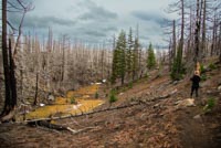
Almost all of Black Crater burned in the 2017 Milli Fire. This means you will be walking through a skeleton forest for much of the hike. There are areas where nature is trying to make a comeback, with lots of manzanita and snowbrush growing in the lower elevations and even some bear grass trying to take root. The lack up things like “branches” and “needles” also makes it easier to see through the trees, opening up some views. It is really torched though.
The long uphill will be interrupted with some short stints of just kind of uphill. But usually after a little while of not so bad uphill, you will see some giant, steep face ahead of you and realize you have to get up that, and you may become disheartened. Just remember that the views will be worth it.
At around the 2 mile mark, you will crest over a steep hill and finally each a relatively flat spot as you pass across the bottom end of the crater in Black Crater (also known as Black Crater (and possibly Latta Crater. I don’t know. Ask USGS)). From here you will be able to see the summit though the trees. Follow the trail until you reach a ridge along the south end up the crater and begin your final push up. Only 1.25 miles to go!! And be heartened. You are almost out of the fire.
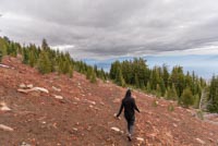
As you begin the final push up Black Crater, the views will really begin to open up. The ground cover will transition to red cinders. And with the lack of trees and ground vegetation, the fire wasn’t able to take hold in much of this area, and you will finally be able to enjoy some sparse, green vegetation. The trail will switchback up the northeast face of the mountain and you will find yourself on the broad plateau at the summit before you know it.
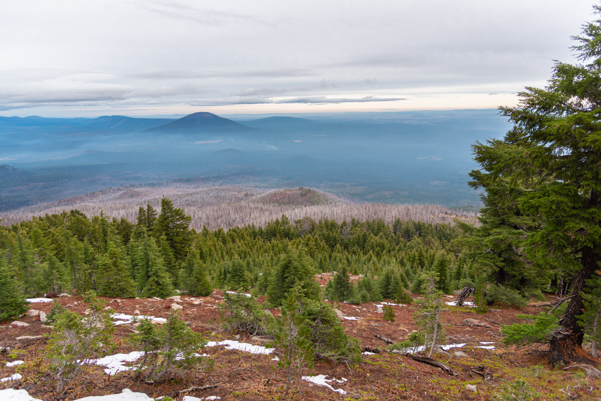
From the summit, views open up in all directions. To the south, Broken Top, South Sister, and North Sister appear close enough to touch. Mt Washington thrusts out of the lava fields to the north, and Three Fingered Jack, Mt Jefferson, Mt Hood, and even Mt Adams on a clear data line the sky line. The world falls away from you to the east as Central Oregon sprawls out 4000 feet below you. And the Old Cascades line the skyline to the west. Views that are definitely worth the climb. Just remember to tell your aching calves that tomorrow.
Directions
To reach the Black Crater Trailhead, simply take McKenzie Pass (OR-126) either 11.5 miles west of Sisters, or if you are coming from the west, 25 miles east of junction with 126. The trailhead is just off the southeast side of the highway, 3 miles east of Dee Wright Observatory at the top of the pass.
Things to Know
Passes: A NOrthwest Forest PAss is require dto park at the trailhead. A self-issue wilderness permit is required upon entering the wilderness.
Dogs: Allowed and must be on leash or under voice command at all times. The upper end of the trail, once it enters the rocky phase with little shade, can get very hot and sharp which are dificult on a pogs paws.
Usage: Moderate
Open Season: The gates over McKenzie Pass usually open sometime in June and close in early Novemeber, depending on the snow that year. You will likely eperience snow along the trail will into July.


