Camp Lake
Distance: 13.8 miles.
Elevation Gain: 1,720 feet.
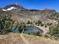
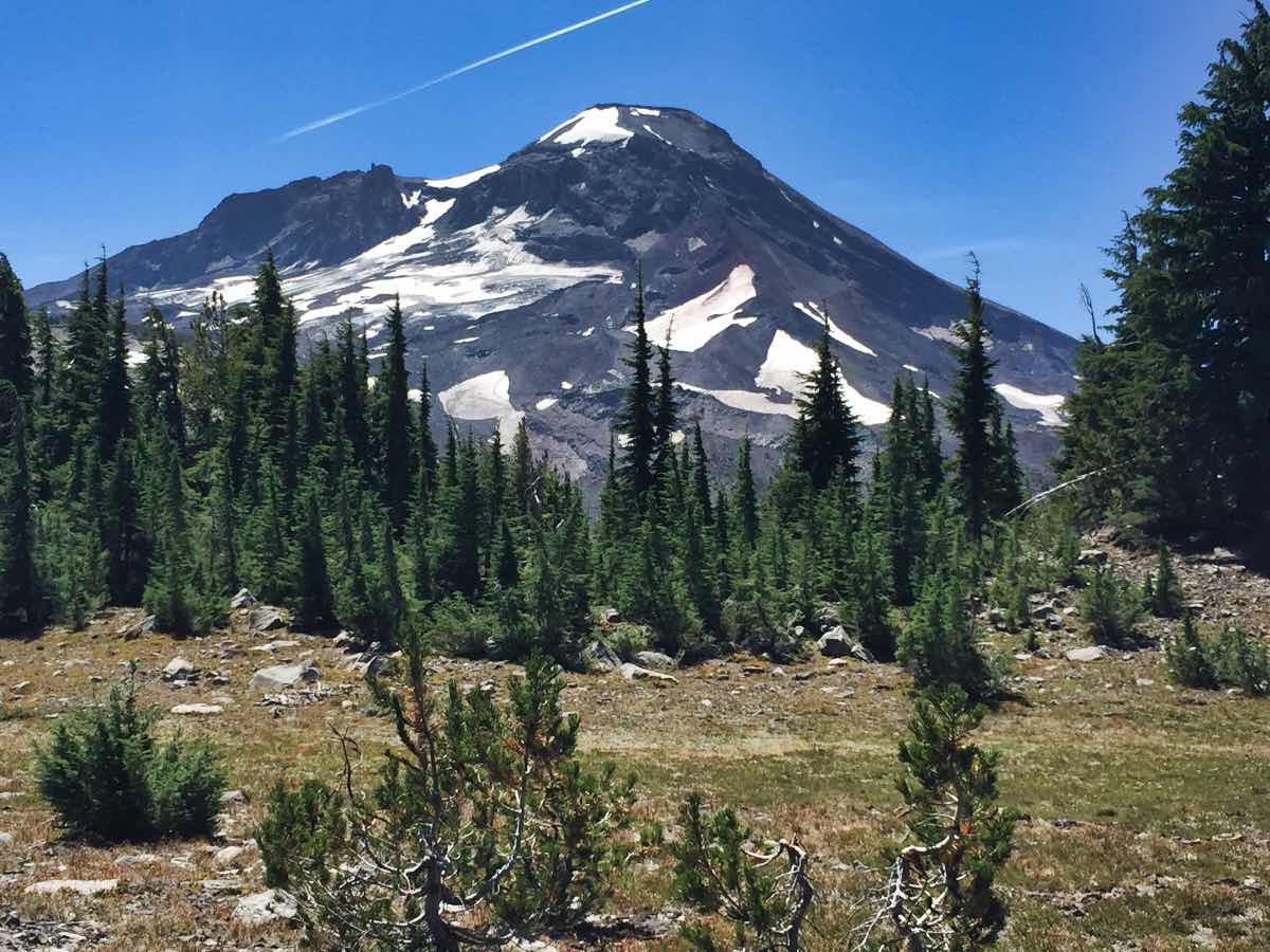
Camp Lake is a beautiful lake that sits in the valley between South and Middle Sisters. The little, blue lake makes for a majestic setting as it is bordered by two 10,000 foot volcanoes, covered in glaciers. The depth of the lake into the wilderness will definitely make you earn your views. While the trail is difficult just because of its length, the climb is slow and steady making it seem easier than many other mountain hikes.
The hike begins from the Pole Creek trailhead off the Pole Creek road, a dirt and gravel road west of Sisters. Head out from the south end of the parking lot and begin hiking up the likely dry but very noticeable gully of Pole Creek. This channel just helps to illustrate the massive erosive power of water when you have no ground stabilizing vegetation left following a large fire. The first 3 miles or so of the hike travel through the scarred remains of the 2012 Pole Creek Fire. The drudge through blackened trees and dusty ground can get a bit monotonous, but you can still find some hidden beauty. The fire has opened up the views to the mountains, making what use to be a buggy trek through dense lodgepole pine how a dusty trek through dead lodgepole pine with mountain views. Also, if your timing is right, the fireweed blooming through this stretch can be particularly spectacular.
You will reach Soap Creek at about the 2-mile mark into your hike. This stream used to sit in a small gully with a nice, log bridge going over it. The fire has caused massive amounts of sediment from higher up the creek to be deposited along this segment, resulting in the complete filling of the gully under the bridge. Now the bridge just seems to sit on the ground and the creek is twice as wide as it, flowing around it. Luckily, the creek is extremely shallow and it is fairly easy to boulder hop across it.
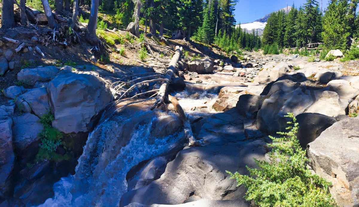
It will be about another mile after Soap Creek before you start reentering green forest. The trail keeps climbing slowly but steadily as you work your way towards the base of Middle Sister. At the 4.6 mile mark, you will reach the crossing of the North Fork of Whychus Creek. This murky stream generates its flow from the meltwater of the Hayden and Diller Glaciers on Middle Sister. There are a number of small waterfalls near the crossing as the creek crashes out of the mountains. The stream is also fairly easy to boulder hop across, keeping your feet dry.
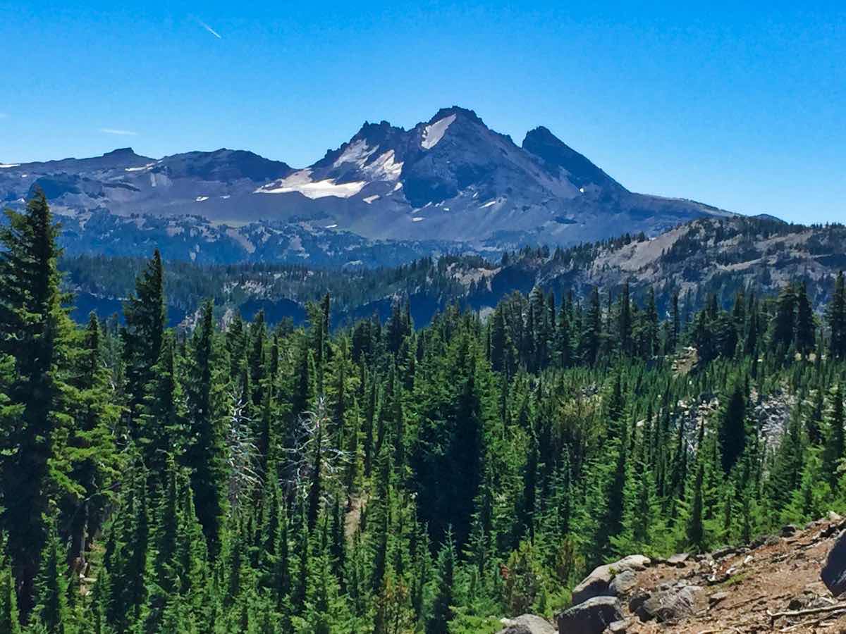
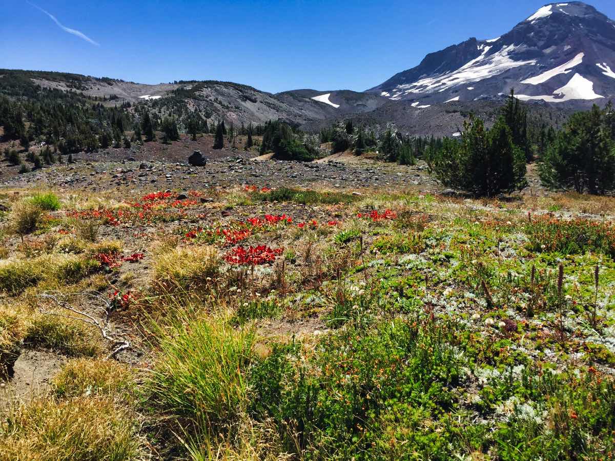
After crossing the stream, the trail begins its steepest climb, gaining about 300 feet in half a mile. It is around this point that the true majesty of the hike begins. You will start to climb out of the forest and into the alpine, pumice plains at the base of the mountains. Middle and North Sister immediately open up before you and South Sister and Broken Top become more prominent as you head south. The hike continues slowly climbing as you head towards the Chambers Lake Basin between South and Middle Sister, but you will hardly notice it as you gawk at the views surrounding you. Before you know it, you will be cresting over a small hill and Camp Lake will spread out before you with South Sister’s imposing North Face rising up from the far side.
Be sure to watch the weather before attempting this hike, especially if you plan on camping. Camp Lake’s position in the gauntlet between the two volcanoes can make for some serious wind and its elevation at 7,000 feet means you could encounter a snow or hail storm at pretty much any time of the year.
Directions
From Sisters, take Highway 242 west towards McKenzie Pass. Follow 242 for 1.2 miles until you see the signs for Pole Creek Trailhead on NF-15 on the left. Make the left and follow the gravel road. There will be a few spur roads kicking off of the main one, but it should be fairly easy to follow it for the 10 miles to Pole Creek Trailhead.
Things to Know
Passes: A Northwest Forest Pass is required at this trailhead. A free, self-issue wilderness permit is required upon entering the wilderness. A Central Cascades Wilderness Overnight Permit will be required to camp in this area June 15th and October 15th. The permits will be available from recreation.gov and will go on sale in early April.
Dogs: Allowed and must be on leash or under voice command at all times.
Usage: Moderate
Open Season: Higher elevation trails usually melt off sometime in July and remain open until the first snow falls.
Bugs: Mosquitos can be bad during the melt season, usually June-July, then will mostly clear up moving into August.
Flowers: Different flowers will bloom depending on elevation, but July and early August are usually peak months.
Restrictions: No campfires are allowed in the vicinity of Camp Lake.


