Deschutes River Trail - Dillon Falls to Benham Falls
Length: 6.4 miles
Elevation Gain: 100 feet.
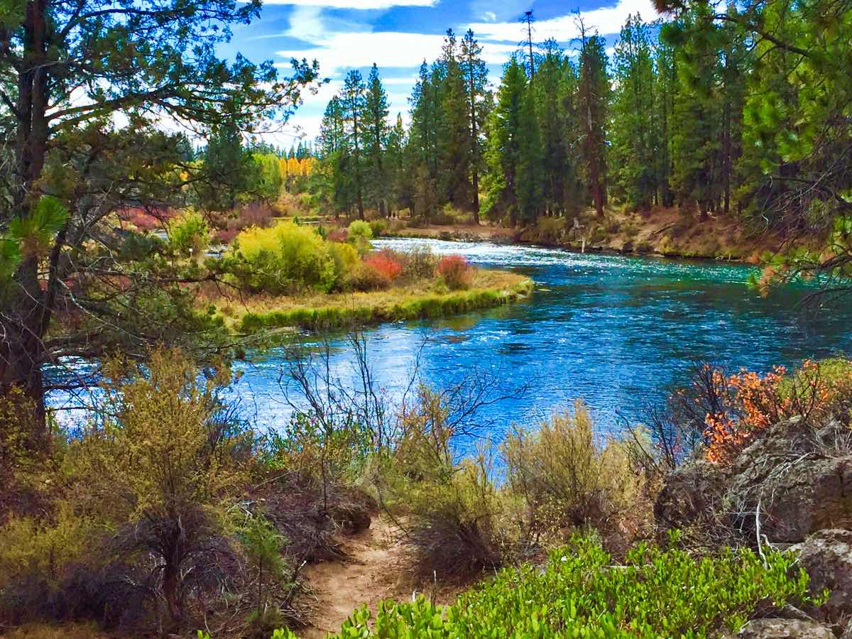
The Deschutes River can be thought of as the soul of Bend as it is responsible for much of what makes this charming mountain town such an amazing place to live and visit. There are trails that run along the river for much of its length, especially through the Bend area. This hike is located just upstream of Bend through some of the wilder sections of the river as it drops out of the Cascades.
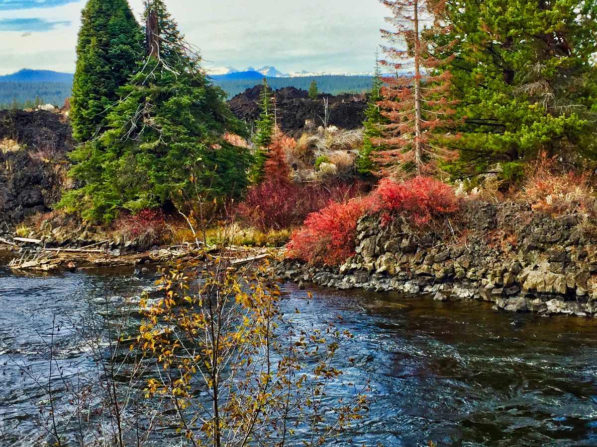
Dillon and Benham Falls were both created when as many as 12 cinder cones erupted on the northern flank of the Newberry Volcano. The lava that poured out of Lava Butte pushed the river further to the west, pinching it in places and creating dynamic falls and nice, soothing meadows between them.
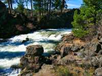
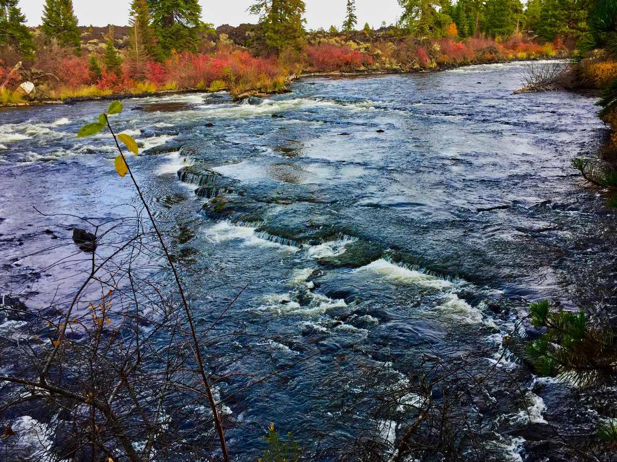
The hike begins at the Dillon Falls Trailhead. Before beginning the hike, be sure to walk a few hundred feet downstream to take a look at Dillon Falls. Finding a spot to get a good view can be tricky, but seeing the entirety of the river narrow down to 50 feet in places as it crashes over boulders, down falls, and banks around a sharp corner is pretty amazing.
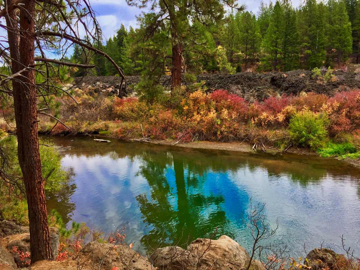
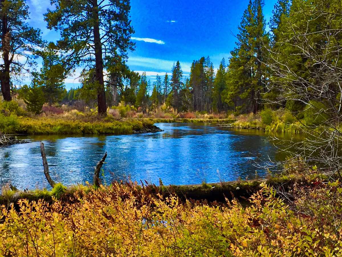
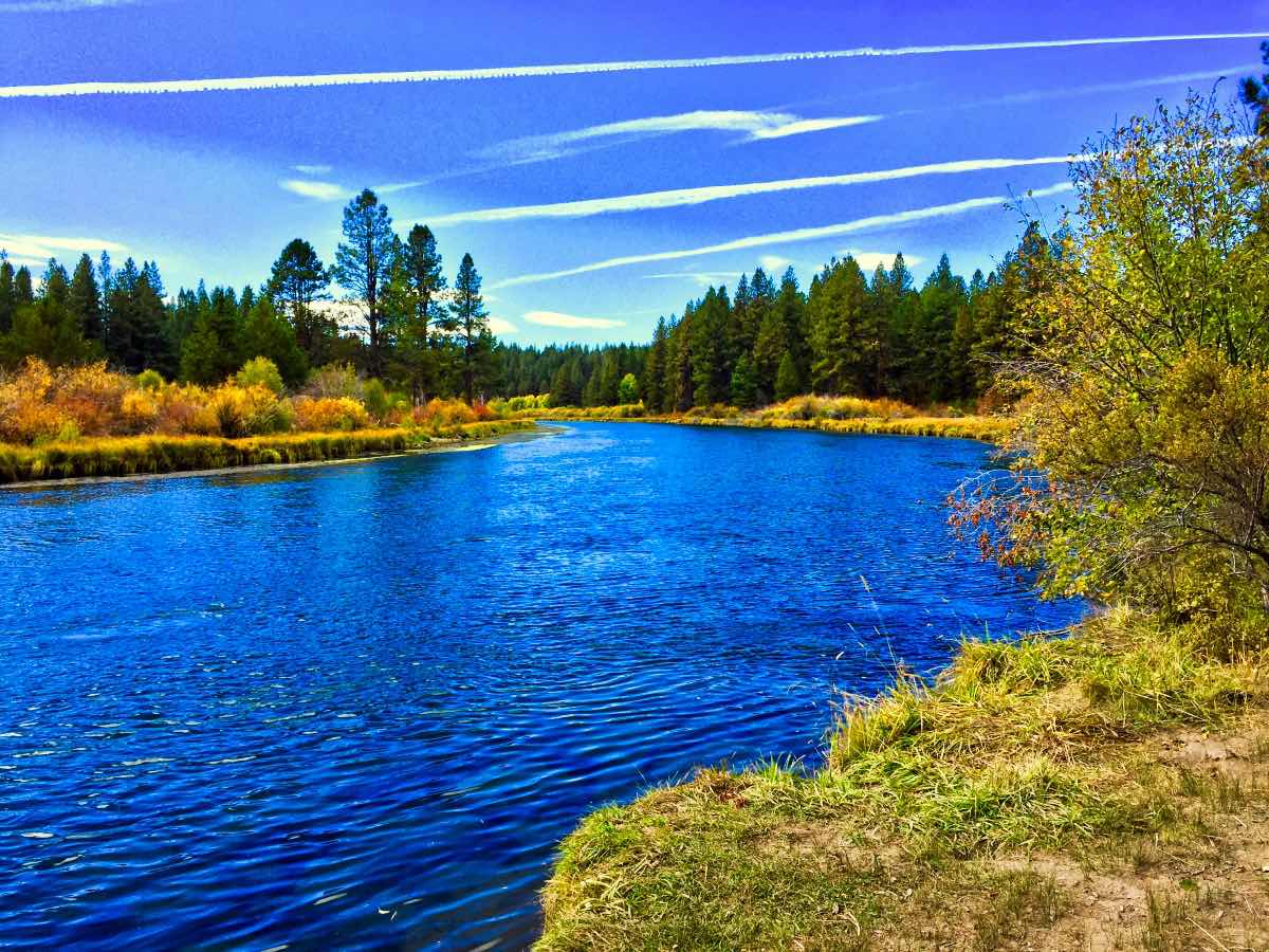
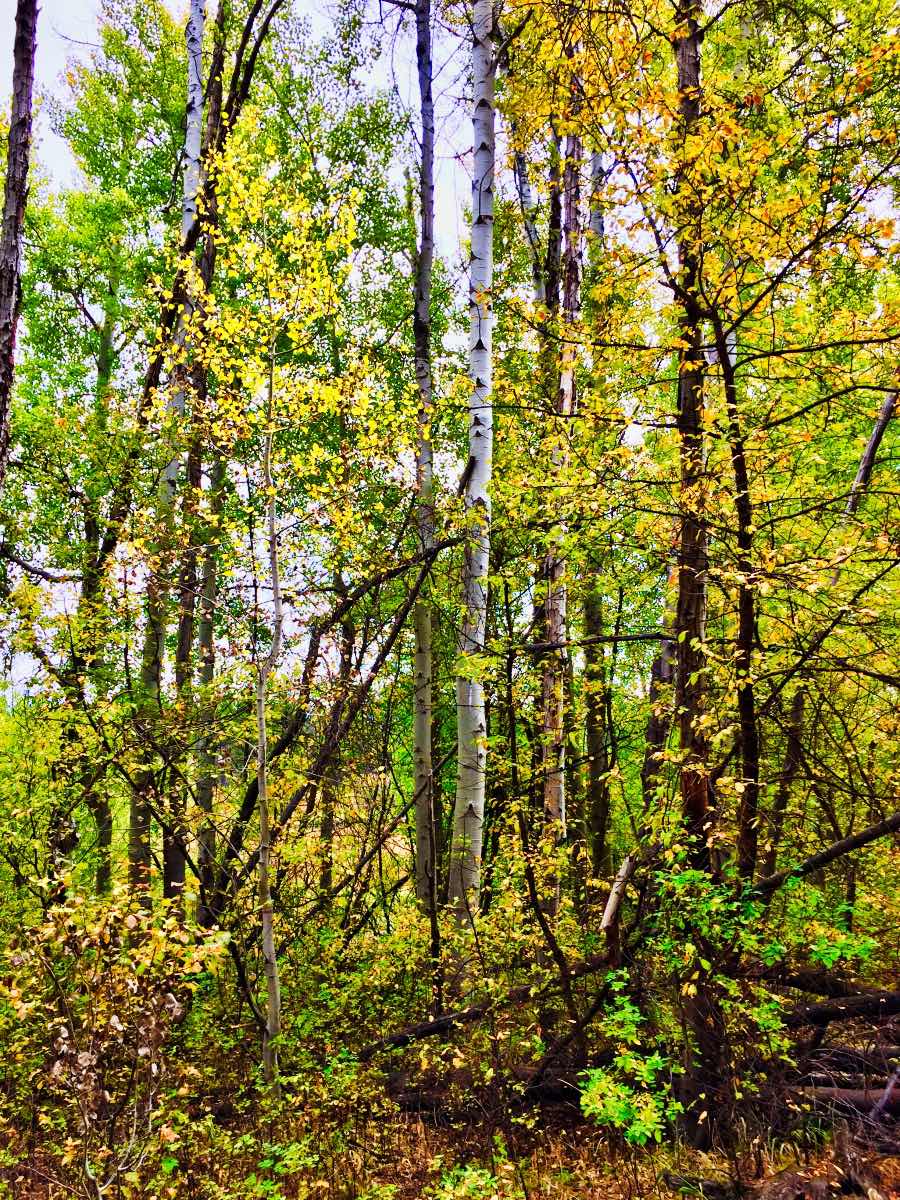
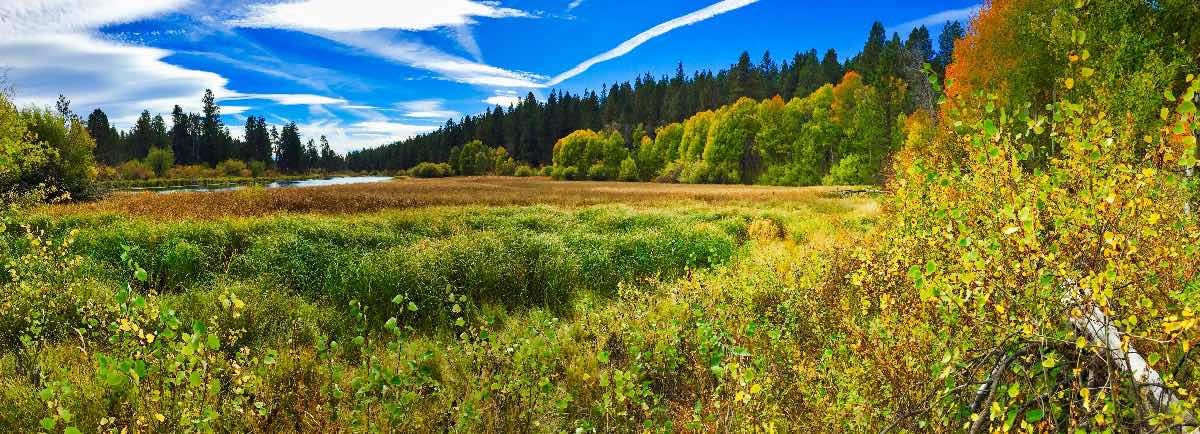
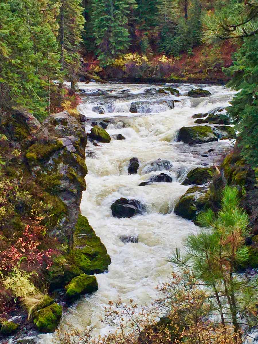
Now, having viewed the first falls, follow the trail to the south, up river, through a nice marshy meadow along the river bank. The trail is relatively level as it meanders in and out of forest, meadows, and aspen stands. About 2.5 miles into the hike, you will start to see lava on the far side of the river approaching the bank again, so you know you are getting close to the Benham Falls. You will pass a couple of small rapids over the next ¾ of a mile, but then prepare for a short climb to an overlook where you can stare straight into the gorge of Benham Falls. The river falls over 60 feet through this narrow canyon which pinches to as narrow as 35 feet in places. From here, you can turn back to where you started or, if you planned ahead and brought a shuttle, continue upstream for a short distance to the Benham Falls trailhead.
Directions
From the traffic circle on Colorado and Century Drive in Southwest Bend, continue on Century Drive for 5 miles towards Mt Bachelor. Just past the Inn at the 7th Mountain, take a left on Forest Service Road 41. There will be a sign directing you to river access at this intersection. Stay on this paved road for about 2.5 miles until you see the sign for Dillon Falls. Make the left onto this dirt road and you will arrive at the trailhead in less than a mile.
Things to Know
Passes: Northwest Forest Pass is required at this trailhead, but are not available for purchase at the site. You will need to pick one up from the Forest Service or a vendor, or have an annual pass, prior to arriving.
Dogs: Allowed but must be leashed May 15 through September 15.
Usage: Heavy
Open Season: Open all year, but there will be times during the winter when snow blocks access to the trailhead.
Bugs: Mosquitos will likely be present in the late spring, early summer months.