Hunts Cove
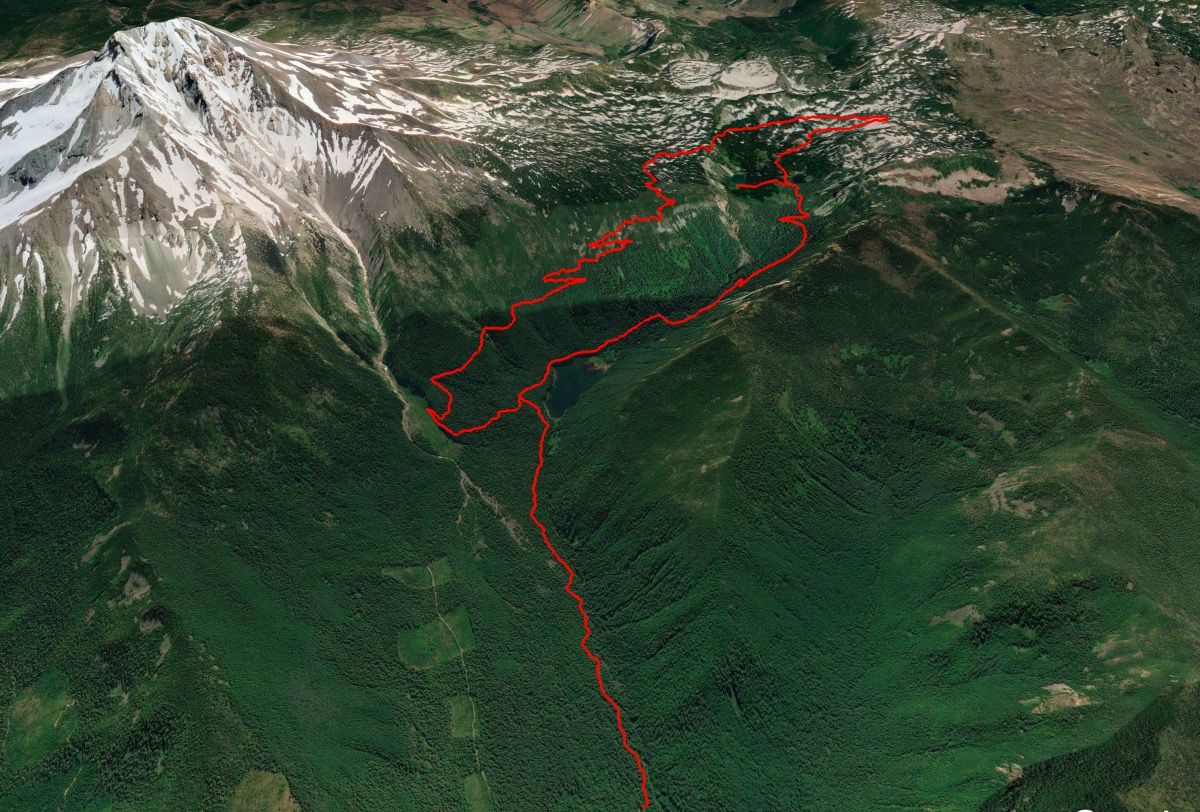
Length: 16.7 miles
Elevation Gain: 3,100 feet.
The Hunts Cove Loop is one of the most popular backpacking destinations within the Mt Jefferson Wilderness. And because of that, this area leading from the Pamelia Lake Trailhead was one of the first limited entry areas in Oregon. Because of its beautify and the ease of the hike to Pamelia Lake, the area was being overrun and damaged. Since its implementation in the mid 90s, much of that damage has healed. The program was such a success, it was the inspiration for the Central Cascade Wilderness Permit.
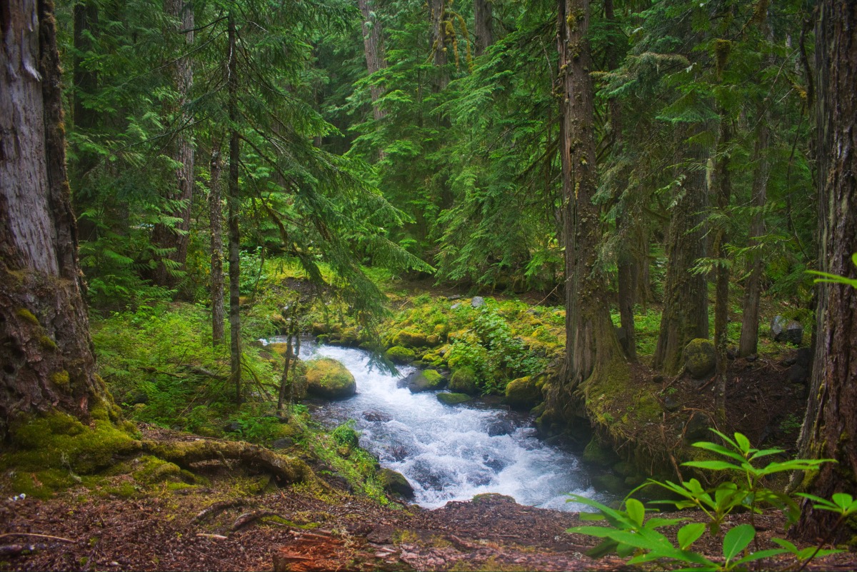
Begin your hike from the Pamelia Trailhead and head out on the trail on your way to Pamelia Lake. The trail travels through some beautiful old growth forest along the banks of Pamelia Creek as it travels 2.2 miles up to the lake. The landscape of the trail was dramatically altered in November of 2006 when unseasonably warm and wet weather brought the collapse of a snow field on Milk Creek. This led to a large debris flow down that creek and into Pamelia Creek, burying most of the valley floor in 2-3 feet of mud and rock. Much of the evidence of this flood has now receded into the background, and other things, such as spring wildflowers will draw your attention.
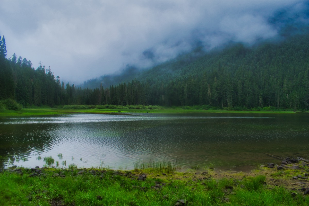
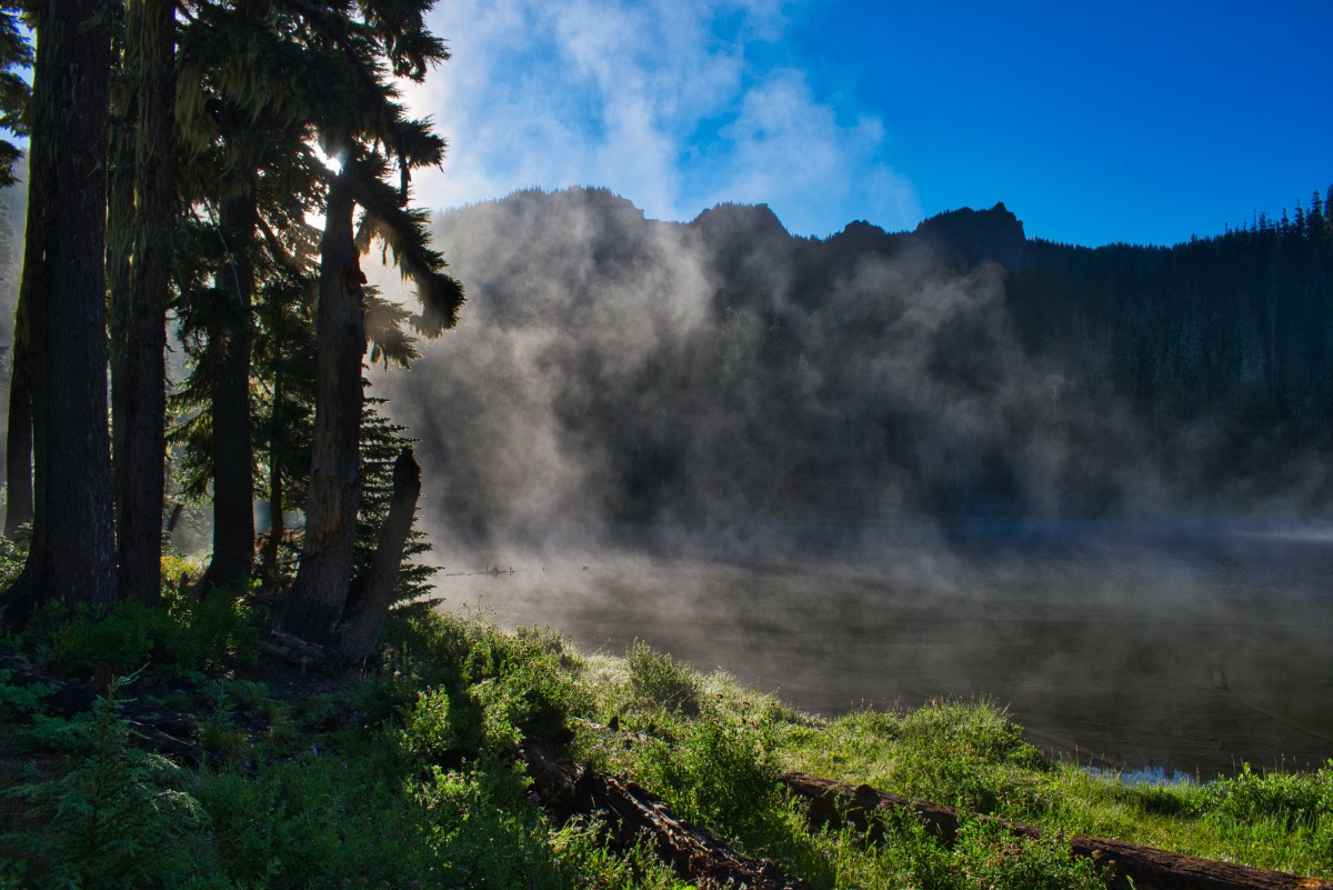
Right before reaching Pamilia Lake, you will encounter a trail junction with the Grizzly Peak Trail. Stay on the Pamelia Lake trail, heading west and towards the lake. You will soon be able to see it through the trees. If you stroll down to its shores, just keep yourself and your dog out of the water. This lake is notorious for bluegreen algae blooms which can be toxic.
The trail continues past the north shore of the lake and climbs a small hill before encountering the junction with the Hunts Cove Trail. You have a decision to make, and a lot of your decision will depend on where you want to camp and how long you want to hike before you do camp. If you head right, it’s about 2.5 miles to Hanks Lake and 6 miles to Shale Lake. If you head left, you can reach Shale Lake in about 5 miles.
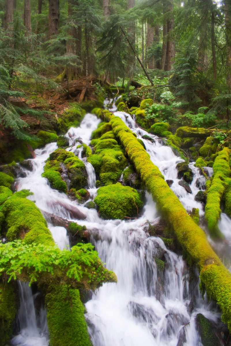
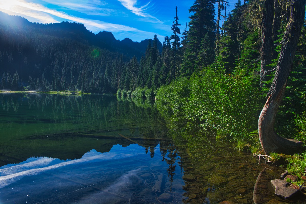
We headed right so that is how the description will proceed. The trail drops back down towards Pamelia Lake as it travels along the eastern shore. There are some beautiful views across the lake towards Grizzly Peak and up the valley. As you pass the lake, one thing that is really awesome about this area is the amount of water everywhere. You will cross over numerous streams as the cascade down the hillsides. About a mile from the creek, you will cross over the valley have to cross Hunts Creek. There are numerous logs crossing the stream here and you will likely be able to find a way across without getting your feet wet.
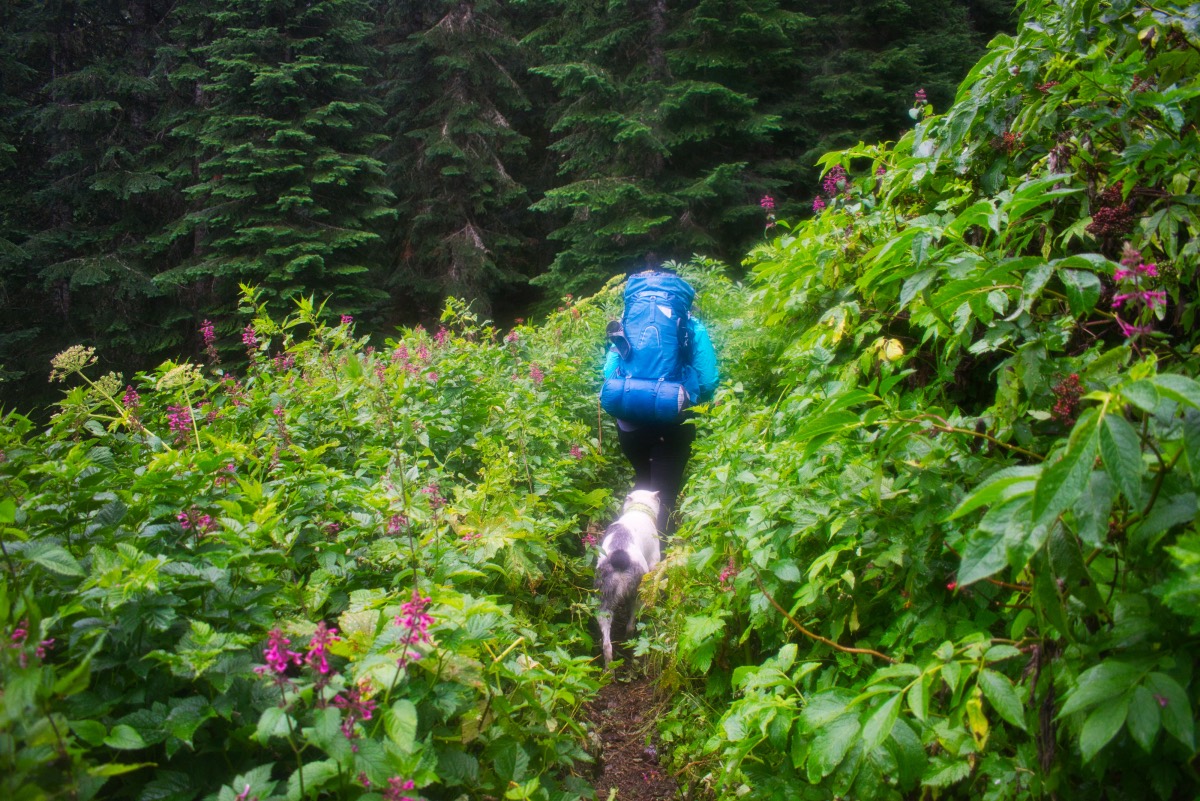
After crossing Hunts Creek, you begin climbing the valley walls behind Pamelia Lake. The trail can be a little overgrown along this stretch, with brush encroaching along the trail. Some if it is a little thorny, if you have sensitive legs. The trail climbs 1,000 feet in the next 1.5 miles, but keep a lookout for the occasional view of Mt Jefferson behind you and Hunts Creek crashes over never ending rapids below you.
After the thousand foot climb, you will reach another trail junction with the Hanks Creek Trail. You could choose to take the Hanks Creek trail as it climbs to Lizard Ridge and around the backside of Hunts Cove. This trail has lots of beautiful views, but it does add a couple miles to the trip, plus you would miss both Hanks and Hunts Lakes. Plus, some of the most beautiful parts of the trip are long the trail behind Hanks Lake as it climbs towards the PCT, so I would recommend heading towards the lakes.
After the junction, it is about 0.4 miles to Hanks Lake. Just before reaching the lake, you will have to cross Hank’s Creek, and this one will probably require you to get your feet wet. March through the stream and pop out right at Hanks Lake. This little lake is absolutely beautiful. It is surrounded by grassy meadows along the shores, with rocky ridges lining the skyline. There are several campsites scattered around the north side of the lake as well. And because it is a limited entry area, some of them might actually be available!
If your backpacking and would like to take a short break from the pack, drop it here and continue along the trail. It continues 0.4 miles to Hunts Lake, the second lake in the basin. Hunts Lake is positioned right against the ridgeline, the rocky cliffs raising up behind the north and east shores. There is also a small creek flowing through a meadow area on the far side of the lake, if you are up for a little exploring. When you are good, turn around and head back to your packs.
Once you sling those monstrosities back on your back, try and find the trail continuing the loop. It can be a little tricky, but just follow my instructions and I will guide you true. Head through the campsites and drop down towards the lake shore. As you pass the furthest eastern campsite, you will see a small trail traveling through the grass along the edge of the lake. Follow the trail as it circles around the lake and then encounters another creek. There is a tree to walk across a little way up stream if you want, or you can just wade across this one too.
After crossing the creek, the trail begins to climb steeply through the trees. The next quarter mile is pretty steep, and there isn’t much to see, but it gets better. Soon, you will start popping out in some beautiful meadows as you climb towards the PCT. The meadows can be filled with flowers, and can have some small streams or ponds in them as well. Plus, as you climb, the views of Jefferson just get better and better.
You will reach the junction with the Hank’s Creek trail once again after 1.25 miles. Make a left and travel a couple hundred feet before reaching the Pacific Crest Trail. Take solace, most of the climbing is over. The trail travels along a ridge below Cathedral Rocks for about 1.5 miles as you work your way towards Shale and Coyote Lakes. You will travel gently down at first, and then gently up, a nice change from all the climbing you have been doing. Watch for some amazing views down the valley, and even Hunts and Hanks Lakes will come into view.
After a while of side hilling along the ridgeline, you will break over the crest and pop out into the Shale and Coyote Lake basin. The lakes are very small, but probably offer the best views of Jefferson along the trail. You will hit Shale Lake first, and Coyote Lake is a little bit off the trail, to the left. The trail will also skirt a larger lake that I have sometime heard lovely referred to as Mud Hole Lake. The water level here varies seasonally, and may not contain much later in the summer.
After passing the lakes, the PCT then begins a slow and steady decent as it rounds the western side of Mt Jefferson. Most of the views disappear as you dive back into the forest, but the mountain and the ridge across from Pamelia Lake occasionally pop into view. About 3 miles from Shale Lake, you will cross a huge avalanche path that drops down towards Pamelia Lake. That bad boy tore up full grown trees by the roots is a swath probably 100 yards wide, dumping them off in a line along the edge of the path. It really helps you to visualize the power of one of these events.
Four and a half miles from Shale Lake, you will leave the PCT and make a left back onto the Hunts Cove Loop as you enter the Milk Creek valley. The trail then reenters the old growth and it heads back towards Pamelia Lake. You will reach the lake in ¾ of a mile. Rejoin the trail you first came in on, and march that final 2.5 miles back to your car and rest your aching feet.
Directions
The Pamelia Trailhead is located off of Highway 22, eight miles west of Idanha or 31 miles north of Santiam Junction. Take Pamelia Road west about 5 miles to the end of the road. The road is paved, but narrow, for most of the length with the last mile or two being gravel, but in good condition.
Things to Know
Passes: A Central Cascades Wilderness Permit is required to access this area between June 15th and October 15th. The permits will be available from recreation.gov and will go on sale in early April. A Northwest Forest Pass is also required to park at this trailhead.
Dogs: Allowed and must be on leash or under voice command at all times.
Usage: Moderate
Open Season: The relatively low elevation of the Pamelia Lake trailhead means early access, usually around May. You will find snow as you move higher in elevation, and the Shale Lake area probably won't be snow free until well into July.
Bugs: The mosquitos here can be prolific and viscous, primarily around the lakes. They normally begin clearing up around August.
Flowers: The lower trail is sock full of Rhododendrons, which usually bloom in early June. Unfortunately, you would likely have to battle snow and bugs the higher up you go at this time of year. Other flowers bloom depending on elevation, with meadows around Hanks and Hunts Lake peaking in July and the higher meadows in early August. Magically, the bugs and the flowers seem to coincide with each other, like some sick joke.