Steelhead Falls
Distance: 1.0 miles.
Elevation Gain: 140 feet.
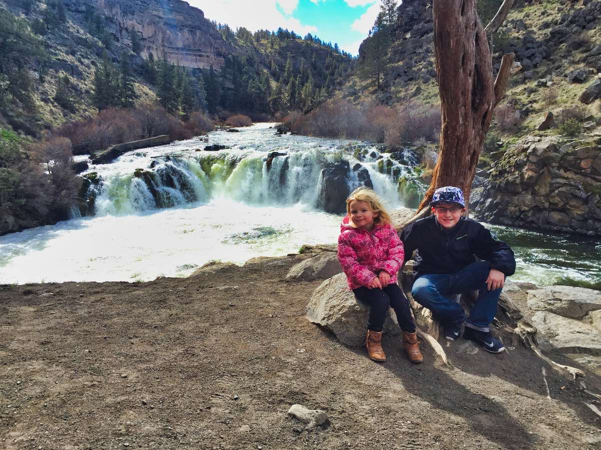
Steelhead Falls is one of those rare spots where you can go to see a large river cascade down over a vertical falls. Even though Steelhead Falls only drops about 20 feet or so, the width of the falls combined with the volume of water in the Deschutes River crashing over it make for an impressive site. And the hike is short and easy making this a spectacle that nearly anyone can witness for themselves.
The hike to the falls begins at the Steelhead Falls trailhead in the Crooked River Ranch area. CRR (that’s short for Crooked River Ranch for people who aren’t too keen on figuring out acronyms for themselves. (acronyms are words formed from the initial letters or components of other words for people who aren’t too keen on their language arts skill. ( CRR may not be an acronym being that it is not actually a word. This will need further evaluation…..)))(I think this sentence started about 3 lines ago. I’m going to start over.). CRR can kind of be a maze to navigate, so follow your directions closely. There are signs which will direct you to the trailhead, which helps as well…. as long as you are on the right path.
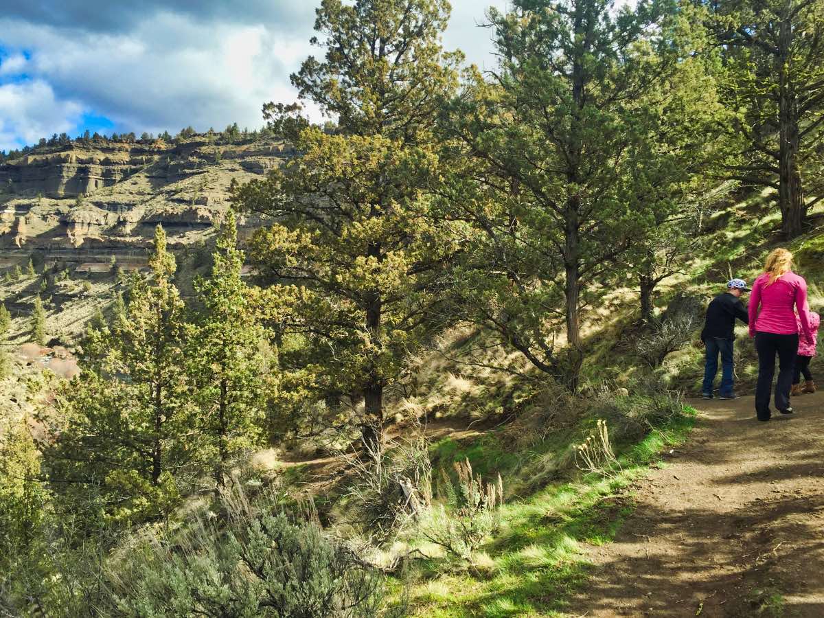
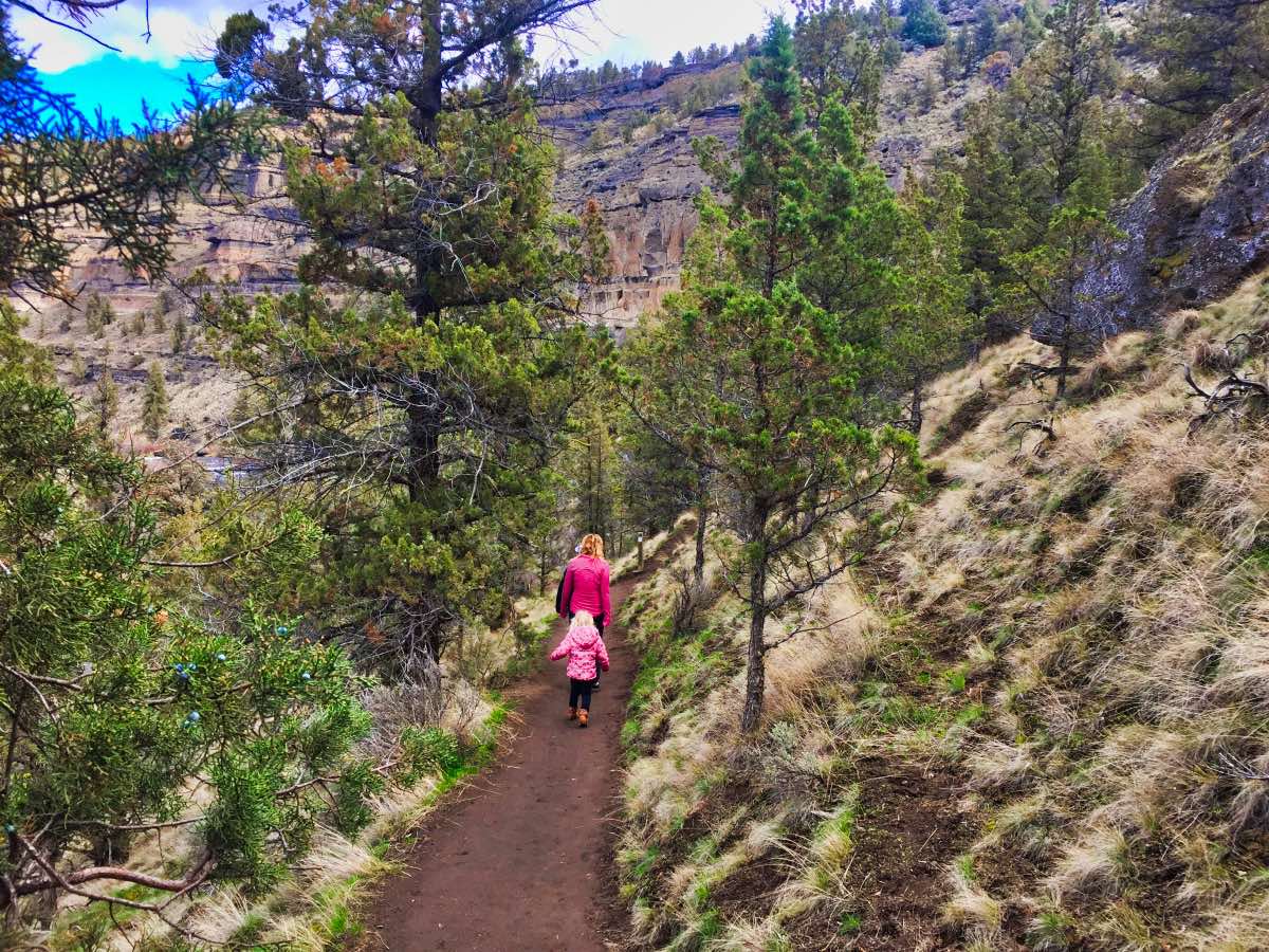
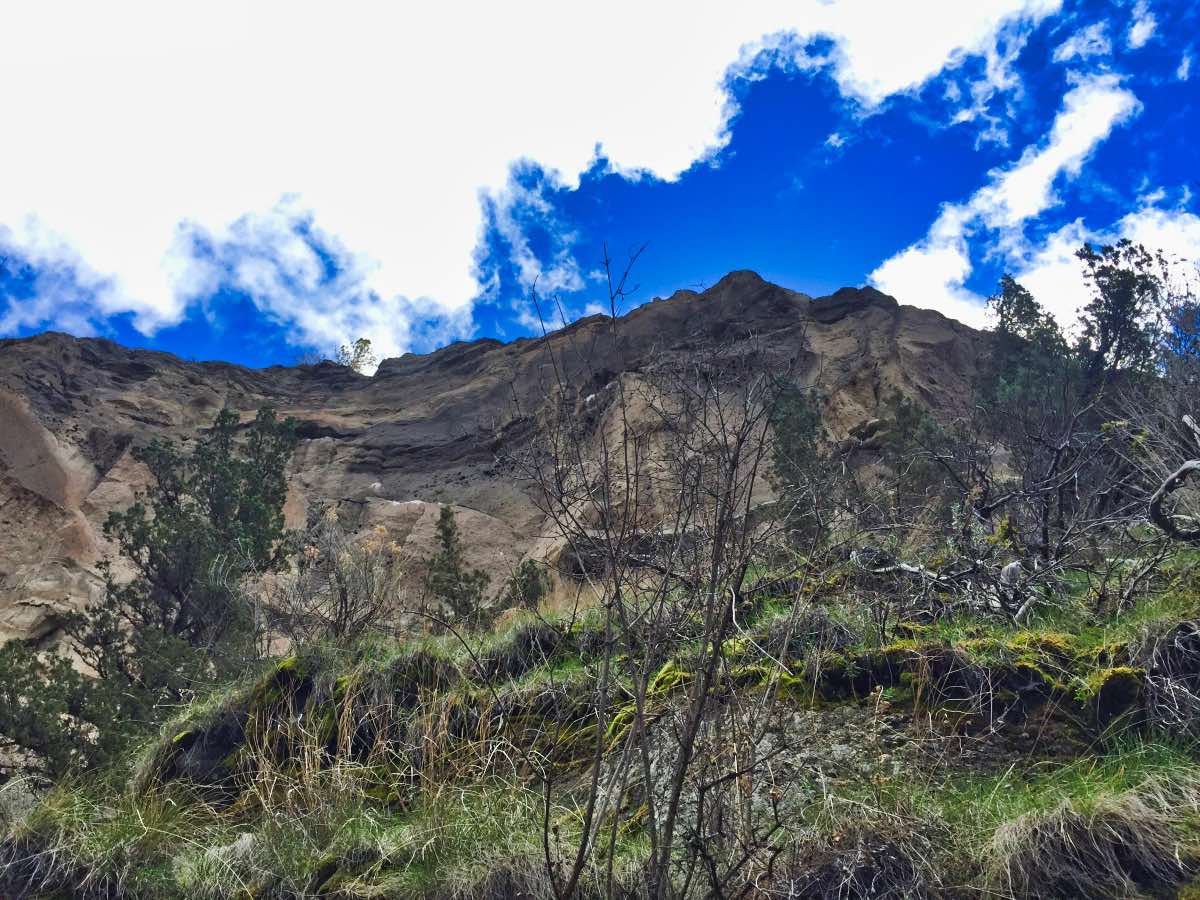
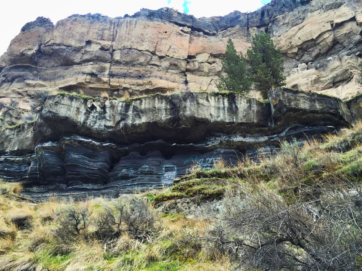
The trail heads out of the north end of the parking area and begins heading down the canyon. It is relatively flat except for about a thousand-foot section where you will climb down a little over 100 feet. As you walk, enjoy the display of geology as the cliffs sport many different colors and textures as they tower above you. The river will also always be a constant companion to your left.
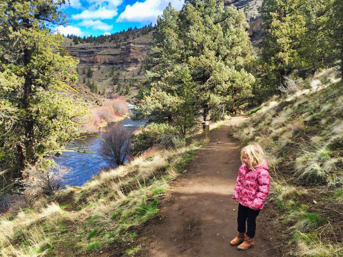
After a mere half mile, you will reach a perfect overlook for viewing the falls. The trail travels around the falls and a nice flat ledge is located just below the plunge pool, giving you a straight-on view of the falls. From here, there is also a user trail that continues downstream for a ways if you don’t want to head back yet. Or, depending on the season, you could watch people jump from the cliffs into the pool below the falls. I would never condone such an action, however. Never.
Directions
Just north of Terrebonne, on Highway 97, turn west on Lower Bridge Road towards Crooked River Ranch. After 2.2 miles, make a right onto 43rd St. You will continue on 43rd for 1.8 miles until you reach a T, where you will make a left onto Chinook Dr. Follow this road for another 1.1 miles and you will see a sign directing you to the left towards Steelhead Falls. This will be at Badger Street. After .4 miles on Badger, you will encounter another T with Quail Road. Make a right and follow it for 1.2 miles and then make a left onto River Road. One more, short mile and you will find yourself and the trailhead. See, piece of cake.
Things to Know
Passes: No passes are required.
Dogs: Allowed and must be on leash or under voice command at all times.
Usage: Moderate
Open Season: Year round.