Tokatee Falls
Distance: 0.8 miles.
Elevation Gain: 260 feet.
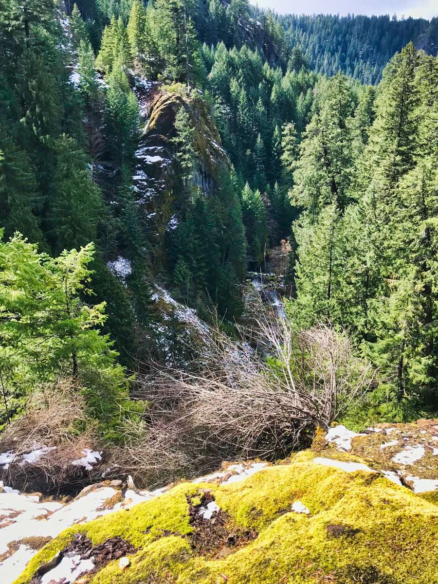
Tokatee Falls is a beautiful two stage waterfall flanked by ancient columnar basalt that drops about 120 feet into a large pool on the North Umpqua River. At the trailhead, you will notice a large, 12-foot diameter wooden pipe that diverts much of the flow of the river to a powerhouse downstream. The upside of this, however, is that this section of river sees very regular flows meaning any time of year is a good time to visit the falls.
The hike to Tokatee Falls is a beautiful little jaunt that you can stop to see on your travels down the North Fork Umpqua between Roseburg and Central Oregon. The trail starts just below the dam on Tokatee Lake at the Tokatee Falls trailhead. The trail travels down about 260 feet in .4 miles as it leads you to a viewpoint overlooking the falls. There are a number of little viewpoints along the trail as well that overlook the river’s beautiful blue waters.
Directions
From the Central Oregon side, travel south on Highway 97 ten miles south of Chemult. Turn right onto OR-138 towards Roseburg and continue on for another 42 miles. From Roseburg, travel 59 miles east on OR 138. Then head north on NF-34 at the signs for Tokatee Falls. You will cross over the river and then make a left to enter the trailhead parking area.
Things to Know
Passes: No passes are required.
Dogs: Allowed and must be on leash or under voice command at all times.
Usage: Moderate
Open Season: Year round but the the path may be snow covered and icy during the winter months.