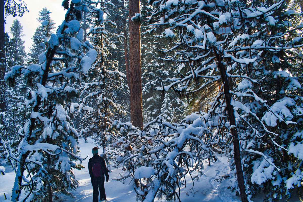
Bandit Springs - Ponderosa Loop
Length: 1.6 miles
Elevation Gain: 200 feet.
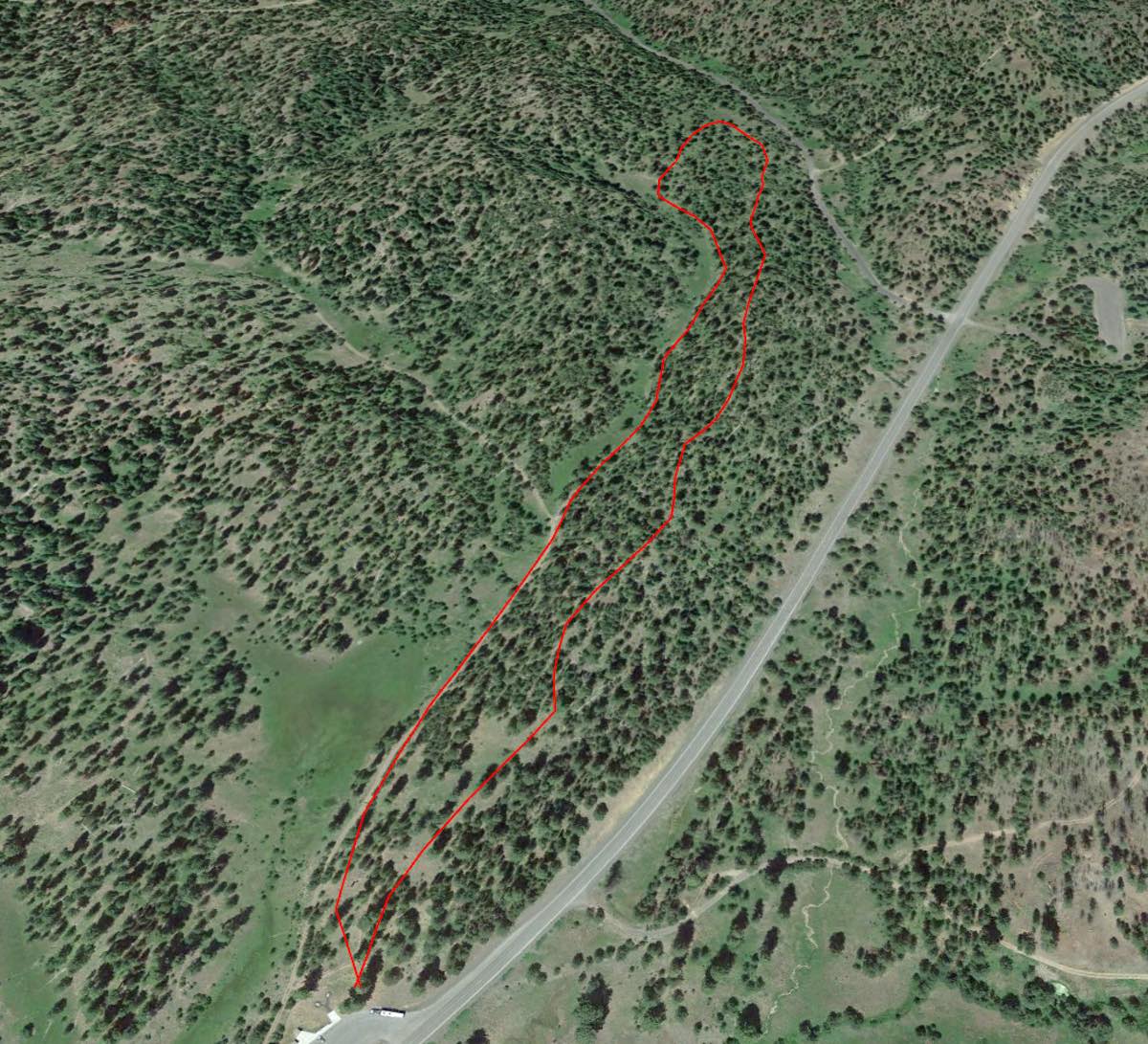
The Ponderosa Loop at the Bandit Springs Sno-Park is a great beginner loop for someone who wants to try out snowshoeing without going on some monster trek but also wants to avoid the crowds in the Cascades. The trail is mostly flat with a gradual incline and then a small climb up onto the ridge on which you will return.
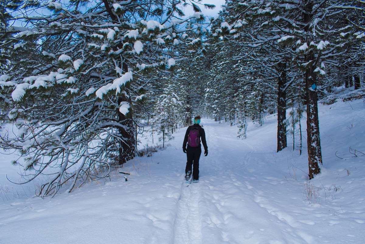
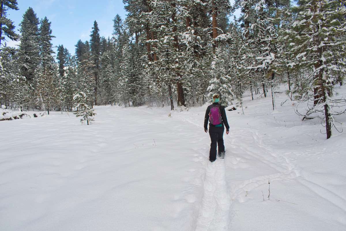
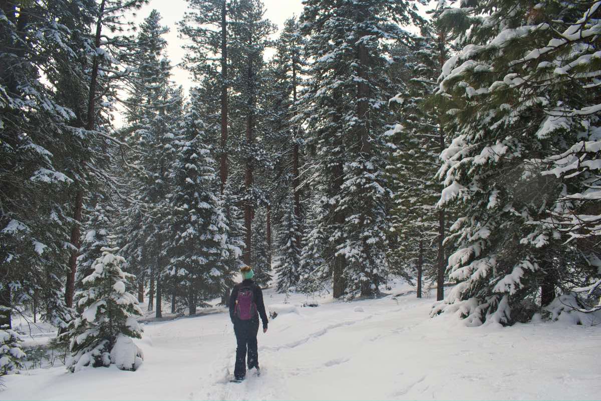
The Ponderosa Trail heads right out of the rest area/Sno-Park known as Bandit Springs. Follow trails to the north and quickly link up with a forest road that heads up the side of a narrow meadow. Here, you will pass through an open forest of red-bellied Ponderosa Pines. The tall, stately trees make a beautiful contrast against the white snow surrounding you.
After 2/3 of a mile, you will reach junction P. Maybe. The signage in this trail area leaves a little to be desired. Juntion P marks a four way intersection, with the left trail taking on the McGinnis Creek trail and straight away is the return arm of the Ochoco Way Trail. To the right is the return arm of the Pondersoa Loop and the direction you want to go.
The majority of the traffic here seems to head up the McGinnis Creek Trail and if you are not paying attention, you may miss the junction all together. And even if you find it, it may not be marked correctly. And even if it is, the trails leaving the junction are hard to find. Downloading the Trail Map from the Forest Service and using it in an app like Avenza in imeasurably helpful in this area.
Once you decide on the correct path, the trail will climb onto the ridge that you were walking along hte bottom of on the way out. Follow the ridgeline for a little less than a mile as you head on a nice, steady decline back towards the Sno-Park.
The Ochocos don’t have near the consistent, deep snowpack the Cascades get. They also get much less visitors. This can lead to some interesting times when snowshoeing through the Ochcos. Many times, especially if it has snowed recently, you won’t have the beat down path to follow that you often find closer to Bend. In addition, the trails are not as well maintained. While the trails normally follow forest roads, they don’t always, and you may encounter times where you can’t find that next blue diamond marker on the tree, there are no tracks in front of you, and you don’t really know where to go. It can turn into a treasure hunt of sorts, looking for that next trail marker. Or you find a trail intersection and its marked with some letter that doesn’t show on any of the trail maps. (“Where the hell is junction q6??”). Having some kind of GPS device with a trail map preloaded in helps tremendously.
Directions
To reach Bandit Springs Sno-Park, head east from Prineville on Highway 26 for 30 miles. The Sno-Park also doubles as a rest area and will be on your left, just a mile or so before cresting over the summit of the Ochocos. If you’ve started going downhill, you missed it.
Things to Know
Passes: An Oregon Sno-Park permit is required November 1 through April 30.
Dogs: Allowed and must be on leash or under voice command at all times.
Usage: Light
Open Season: As long as there's snow. The Ochocos don't get near the snowpark the Cascades do, but there should be 1-3 feet between Christmas and March, most years.
Hazards: Trails aren't marked super well and aren't heavily traveled, so be sure to bring a map and GPS so you know where to go.
