Potato Hill
Length: 3.6 miles
Elevation Gain: 900 feet.
Potato Hill is the long ridge that runs from just west of Hoodoo all the way past Lost Lake south of Highway 20. The views along the hill stretch all the way from Mt Jefferson to Mt Washington and west to the Old Cascades. This route is also much less crowded than some of the more popular Sno-Parks in Oregon, but you will likely have to share the trail with skiers doing laps up the trail and down the north face of Potato Hill.
Start your adventure from the tiny little, nondescript Potato Hill Sno-Park. This Sno-Park amounts to little more than a wide spot on Highway 20, just west of Lost Lake and east of Santiam Junction. There is only one trail that initially heads out, so strap on your snowshoes and start making hay.
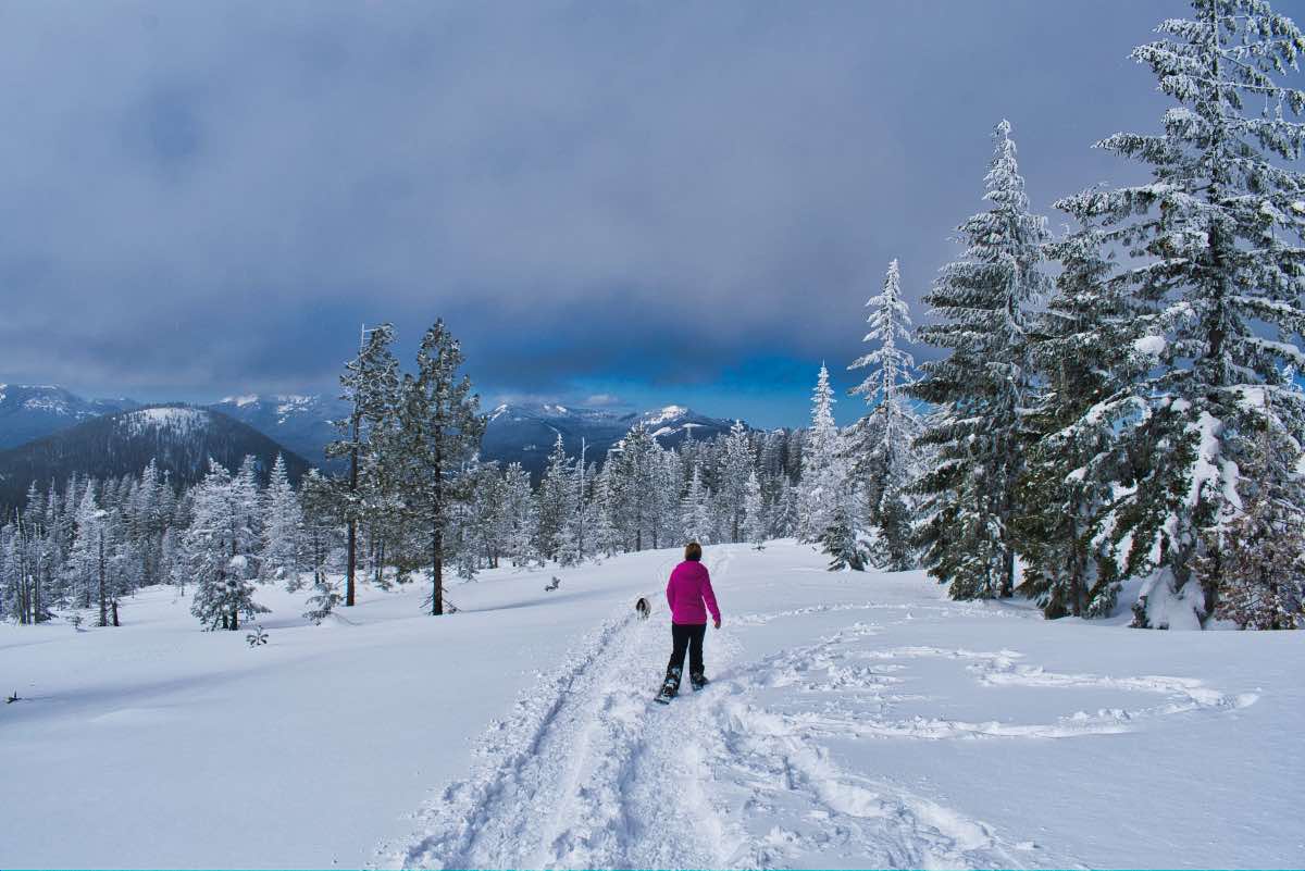
The path follows Jack Pine Road as it begins its slow but steady climb up Potato Hill. Journey through the steep forest for a third of a mile before reaching your first intersection. Head to the left and continue up Jack Pine Road. The trail continues climbing through the woods for another third of a mile before things start to open up for you.
Three quarters of a mile from the previous intersection, you will come to the upper junction with the Hash Brown Loop. If you’re looking for a little variation on the way down, this path will wind its way through the woods on the south side of Potato Hill for 3 miles or so on its way back to the first intersection you encountered. But for now, stay to the left and continue climbing Jack Pine Road.
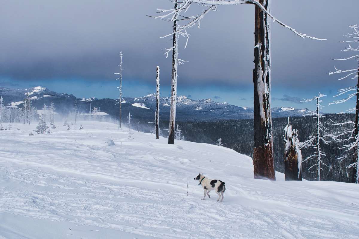
It’s only 0.6 miles from the upper intersection to where Jack Pine Road dumps you out at a beautiful viewpoint looking north. This stretch also enters the 2003 B&B Fire scar, leaving you much more exposed to the elements, but also improving your viewing opportunities. The wind can get vicious up here though. Where the official trail ends, if you choose, you can continue climbing Potato Hill. The summit is about a third of a mile and 200 vertical feet to the east.
Directions
To reach the Potato-Hill Sno-Park from Central Oregon, head west on Highway 20 and go up and over Santiam Pass. Continue 4 miles past the turnoff for Hoodoo. The Sno-Park is on the left, on the outside of a corner, right after the passing lane ends following Lost Lake.
Coming from the Valley, head east on Highway 20 for 1.2 miles past the Santiam Junction. The Sno-Park will be on the right just before the passing lane ends.
Things to Know
Passes: An Oregon Sno-Park permit is required November 1 through April 30.
Dogs: Allowed and must be on leash or under voice command at all times.
Usage: Moderate
Open Season: As long as there's snow. Most years will have suitable snow depth from December into April.


