Walton Lake
Length: 3.7 miles
Elevation Gain: 430 feet.
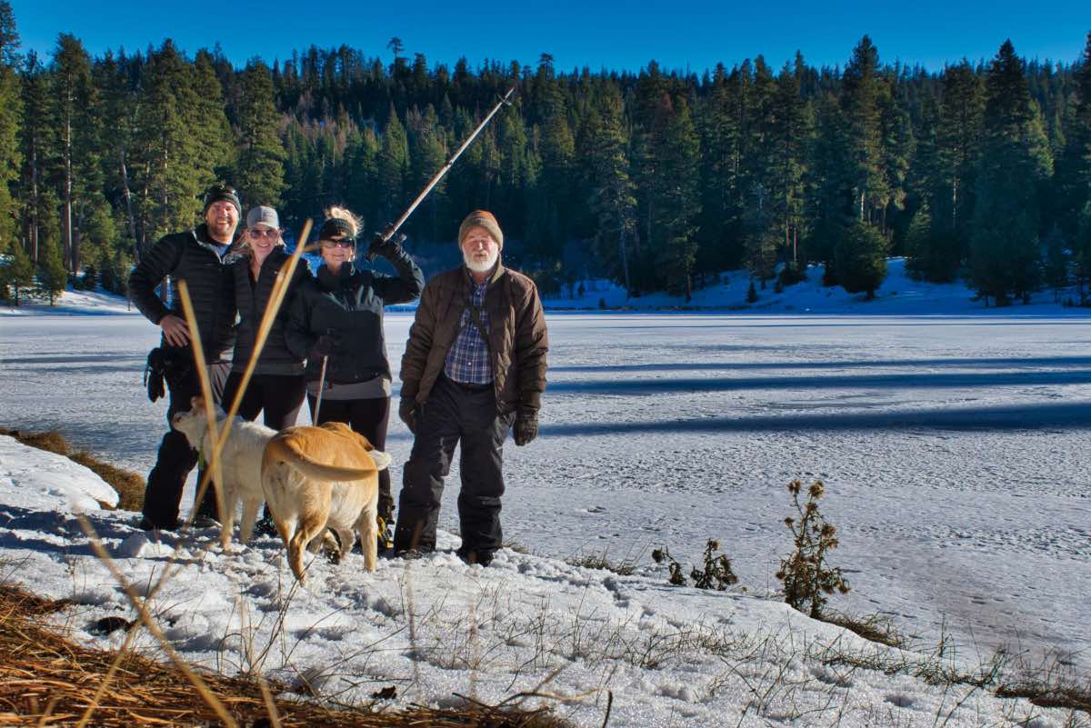
Walton Lake is a beautiful little reservoir that was created when a small dam impounded all the flow from a meadow full of springs, creating the small, tranquil lake. In the summer, this area can be packed with campers, fishermen, and just people hanging out, being that it is one of the few places in the Ochocos with water. The winter is much more tranquil, and the contrast of the sparkling white snow and ice of the frozen lake, blue skies, and red and orange Ponderosa Pines makes for a memorable endeavor.
Begin your trek from the Walton SnoPark, located just past the turnoff for Walton Lake itself. Follow a trail that parallels the road into the SnoPark back towards Forest Service Road 22. You will cross that road just above where they quit plowing and will then make your way into the forest.
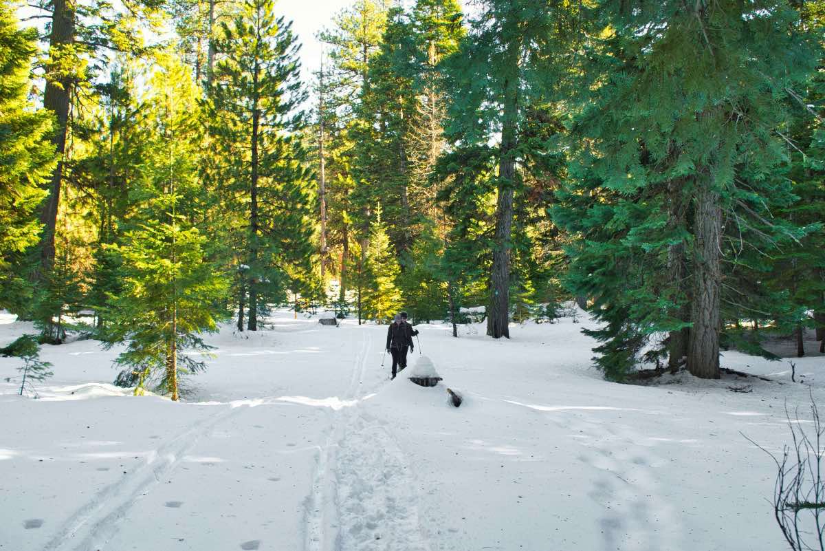
Soon after crossing the road, you will hit trail junction A. Stay to the left and head northwest along the trail for about ¼ mile until you reach the next trail junction (C). Stay to the right here, continuing in the direction you were traveling. It will only be a couple hundred feet until you reach the next one (B of course. Makes sense to me). Here, veer to the left, off the forest road, and make your way through some pine meadows. You will mosey through the trees for about ½ a mile before making your way down a small valley towards Ochoco Creek. You will have to cross the creek at this point, but generally it is small enough where you can just step across. Be careful of collapsing banks.
After crossing the stream, you will follow it downstream for the next 0.7 miles. You have to cross back over the stream again, but we never noticed it the second time. Now sure if there was a bridge there or a snow bridge or anything, but we never saw the stream again. However, quickly after crossing back over, you will pop back out onto another forest road. Head to the left and follow it for the next .4 miles as it begins to work back uphill.
After 0.4 miles, you will leave the road again as it starts to turn more to the east. Continue southward towards the lake. It is only about 750 feet through the woods to the nice sunny lake shores. Granted, the lake is cold and frozen, but the south facing banks make for a nice rest stop.
When you are ready to roll, head to your left, eastward, on the road that encircles the lake. Look for a trail the heads off to the left just a little before the road turns to the south. Just don’t make the mistake of heading up the forest road that intersects the lake road just a little way from where you hit the lake. That road will just take you back up to the trail you came down on.
We were never able to find the official trail leaving the lake, so we just started heading northeast from near the corner. It is only about half a mile from the lake back to the beginning of the loop, but it is a steep hill to climb gaining 250 feet before reconnecting with the main trail. The trails join at the first intersection you encountered on the trek, and we were able to find the path a little ways before that. However, this section can be sketchy because there were fences and thickets of trees blocking you have to navigate around and through if you aren't on the official trail. Having a GPS helped to keep us moving in the right direction. Once reaching the main trail, turn right and knock on that last half mile like a BOSS.
The Ochocos don’t have near the consistent, deep snowpack the Cascades get. They also get much less visitors. This can lead to some interesting times when snowshoeing through the Ochcos. Many times, especially if it has snowed recently, you won’t have the beat down path to follow you often find closer to Bend. In addition, the trails are not as well maintained. While the trails normally follow forest roads, they don’t always, and you may encounter times where you can’t find that next blue diamond marker on the tree, there are no tracks in front of you, and you don’t really know where to go. It can turn into a treasure hunt of sorts, looking for that next trail marker. Or you find a trail intersection and its marked with some letter that doesn’t show on any of the trail maps. (“Where the hell is junction q6??”). Having some kind of GPS device with a trail map preloaded in helps tremendously.
Directions
To reach Walton SnoPark, head east from Prineville on Highway 26. After 15 miles, head right onto Ochoco Creek Road where the signs direct you to Walton Lake. Continue on Ochoco Creek Road for 8.5 miles until you reach the intersection with NF-22. Make a left here. A sign will also be present directing you towards Walton Lake. The SnoPark will be 7.5 miles up this road on your right.
Just as a precaution, the road up to the SnoPark is only plowed once per week. If it has snowed a bunch and you are trying to get up there on the wrong day, you may not be able to make it.
Things to Know
Passes: An Oregon Sno-Park permit is required November 1 through April 30.
Dogs: Allowed and must be on leash or under voice command at all times.
Usage: Light
Open Season: As long as there's snow. The Ochocos don't get near the snowpark the Cascades do, but there should be 1-3 feet between Christmas and March, most years.
Hazards: Trails aren't marked super well and aren't heavily traveled, so be sure to bring a map and GPS so you know where to go.


