White River
Length: 4.4 miles
Elevation Gain: 1,300 feet.
The White River is a National Wild and Scenic River that is born at the bottom of the White River Glacier on Mt Hood’s southern flank. The White River West Sno-Park allows winter recreationists (that’s you, if you are up for the challenge) to snowshoe right up the upper reaches of the White River and onto Mt Hood itself. The views are so unbelievable you barely even notice the climb.
Begin your snowshoe from the White River West Sno-Park on Highway 35. It’s the Sno-Park on the west side of the river. It is huge, allowing for about 200 vehicles to park. However, on a nice, snowy day, the parking area can completely fill up. Most of these people will be people just hanging out and sledding right near the parking area, so don’t let the mess of humanity scare you off. About a half mile or so into your jaunt, you will find much more peaceful surroundings.
Head out of the north end of the parking area on a bench above the river. There’s essentially a groomed road, it feels like heading up away from the Sno-Park for the first half a mile. The further you go, however, the less people you will see and the trail will actually kind of become a trail. But not technically. There isn’t really a trail with the nice little blue diamonds marking the way up from the Sno-Park. For the most part, the way to go is fairly obvious. Just keep heading up the mountain. There are a few spots where things can get a little confusing however. The first of these happens right at about half a mile.
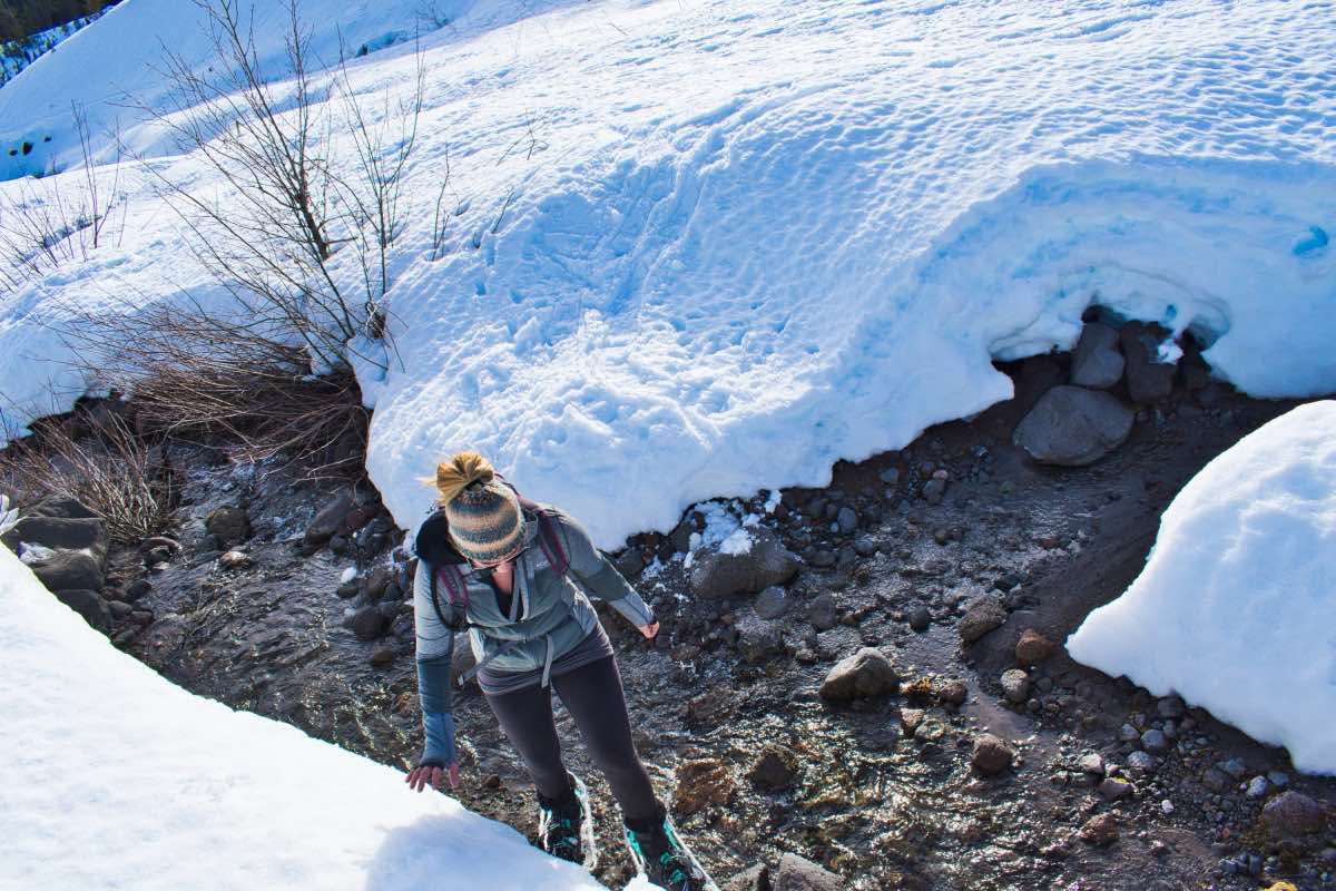
Here, you can choose to stay out of the river valley by climbing a steep hill to your left and into the trees. We decided to dive into the valley, because it looked much easier. This does mean that you will have to cross the river, however. Most of the time, especially during the winter, the river is barely more than a trickle that you can step right over. The main trick is getting down to step over it, since it will have 3 or 4 foot snow walls along the banks, making it a long, steep way down to those 2 inches of water. Usually you can find paths that lead across and make it doable.
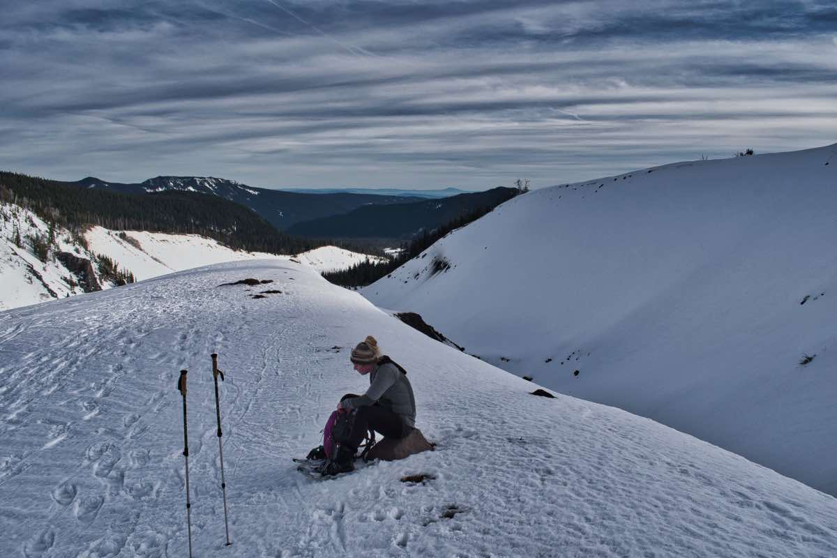
Once across the White River, continue trekking up the valley, staying to the left side. About a third of a mile past the crossing, the river seems to get really braided, with different arms slithering all over the valley bottom. We were able to find a good spot to head back up onto the terrace to the left and continue snowshoeing through the trees. Continue up along the edge of the valley for another half mile before reaching the edge of the trees. Here, Mt Hood opens up before you, with the summit looking so close it feels like you should be able to touch it. Its deceiving though, cause you can’t, no matter how hard you stretch.
You can continue up these wide-open slopes for almost another mile. Head for the medial moraine between the two branches of the river and keep climbing. The valleys will drop steeply away from you on both sides and the views keep getting better and better. The climb is constant but not too steep and the moraine has a nice flat top for you to walk on. Continue for as long as you feel comfortable (there is a natural stopping point, you can't miss it), and retrace your steps back to the Sno-Park once you’ve had your fill.
Directions
From Portland, head east on Highway 26 about 31 miles past Sandy. At the intersection with Highway 35, take 35 towards Hood River and Mt Hood Meadows. From Central Oregon, this intersection is 36 miles past Warm Springs. Continue on Highway 35 for 5 miles and the Sno-Park will be on your left. You shouldn’t miss it because there will be a million people and an amazing view of the mountain.
Things to Know
Passes: An Oregon Sno-Park permit is required November 1 through April 30.
Dogs: Allowed and must be on leash or under voice command at all times.
Usage: Heavy
Open Season: As long as there's snow. This is a lower elevation area, so snow can be a little ify sometimes, but it is also on Mt. Hood, which makes for fairly consistent dumps.
Hazards: Always be aware of avalanche potential, especially if you are messing around on some of the steep slopes on the moraines.