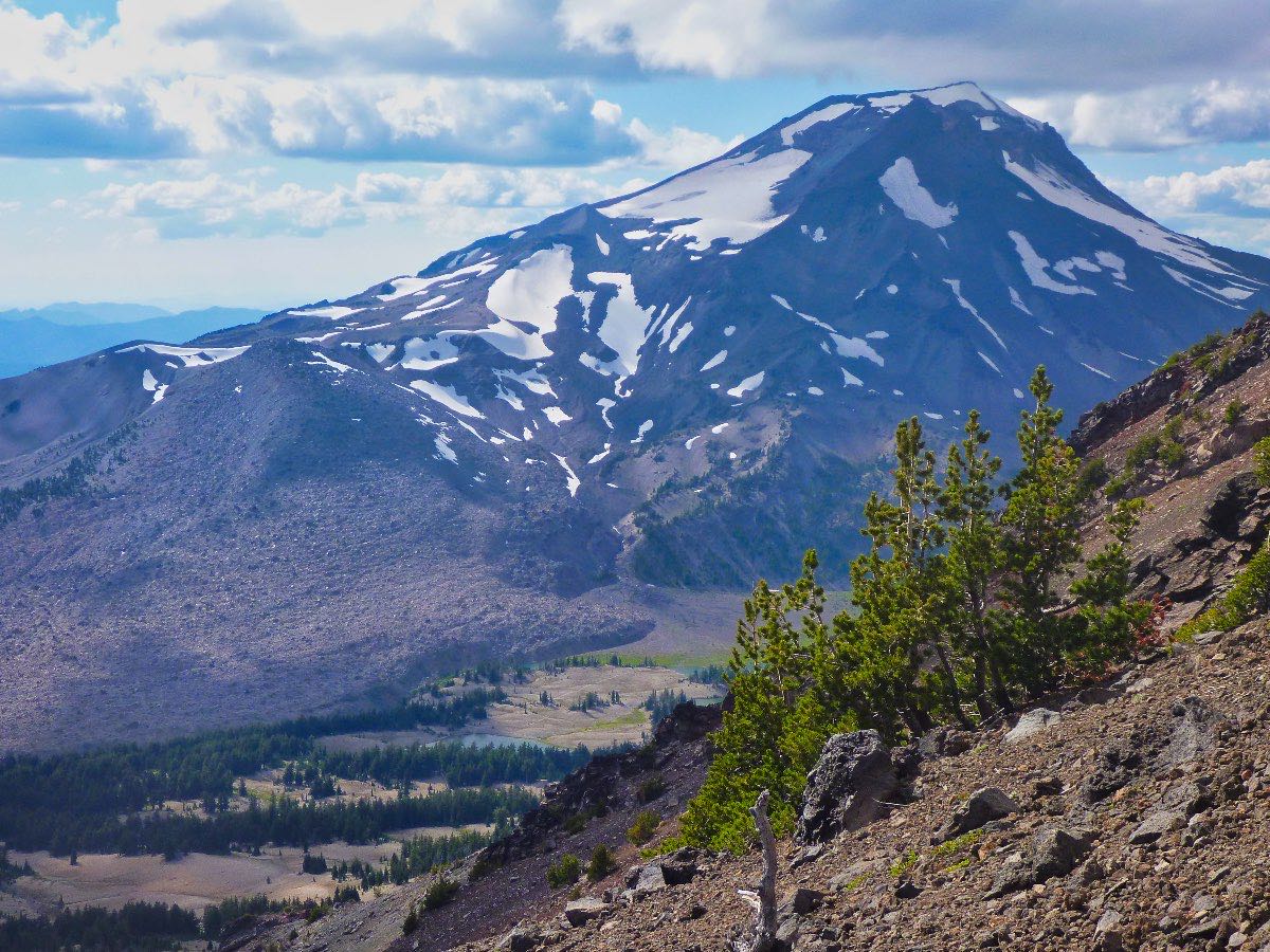
Broken Top - South Summit
Length: 6.2 miles
Elevation Gain: 2,200 feet.
Ever felt the desire to stand on the edge of Broken Top’s crater, taking in the surrounding mountains and staring down thousand foot cliffs to the glaciers below, but don’t really have the desire to take your life into your hands or to rope up to make it up to the true summit. Then the South Summit is just what the doctor ordered. (That’s me. Doctor Roaminglog.com. Kind of like WebMD but I won’t tell you that you have lupus.)
The hike up to the South Summit of Broken Top is much shorter and has less vertical than pretty much any other major Cascade Peak. But it still sucks because you will find yourself wading through ankle deep crap and small boulders and you almost have to scramble on your hands and knees to reach the summit. But if you have that fire in your belly, go for it damnit. Just don’t curse me out half way up because I warned you.
Broken Top began erupting about 300,000 years ago and had periodic episodes of eruptions for the next 150,000 years. The mountain’s famous crater was likely initially formed through subsidence, or a sudden collapsing of the summit cone. This depression was then filled again by varying layers of lava which was then later destroyed, along with the entire southeastern face of the mountain, by glacial erosion.
The climb to Broken Top’s South Summit begins from the Crater Ditch Trailhead, which is some good news, in that it is much easier to reach and much less crowded than the more popular Broken Top Trailhead. You start a little further from the mountain, but have a more direct route to the start of your climb. Head out from the north area of the main parking area along the trail/road that follows Crater Ditch. If you parked near the loop and can’t find the trail, backtrack down the road for about 400 feet and look for it there.
The trail follows Crater Ditch for a little over a mile as it winds through the trees near the base of Broken Top. You will pass over two different structures along the ditch on the way, both of which capture the flows of Soda Creek and Crater Creek and divert them down the ditch. This ditch redirects those flows into Tumalo Creek which is then used to irrigate many of the areas of northwestern Bend.
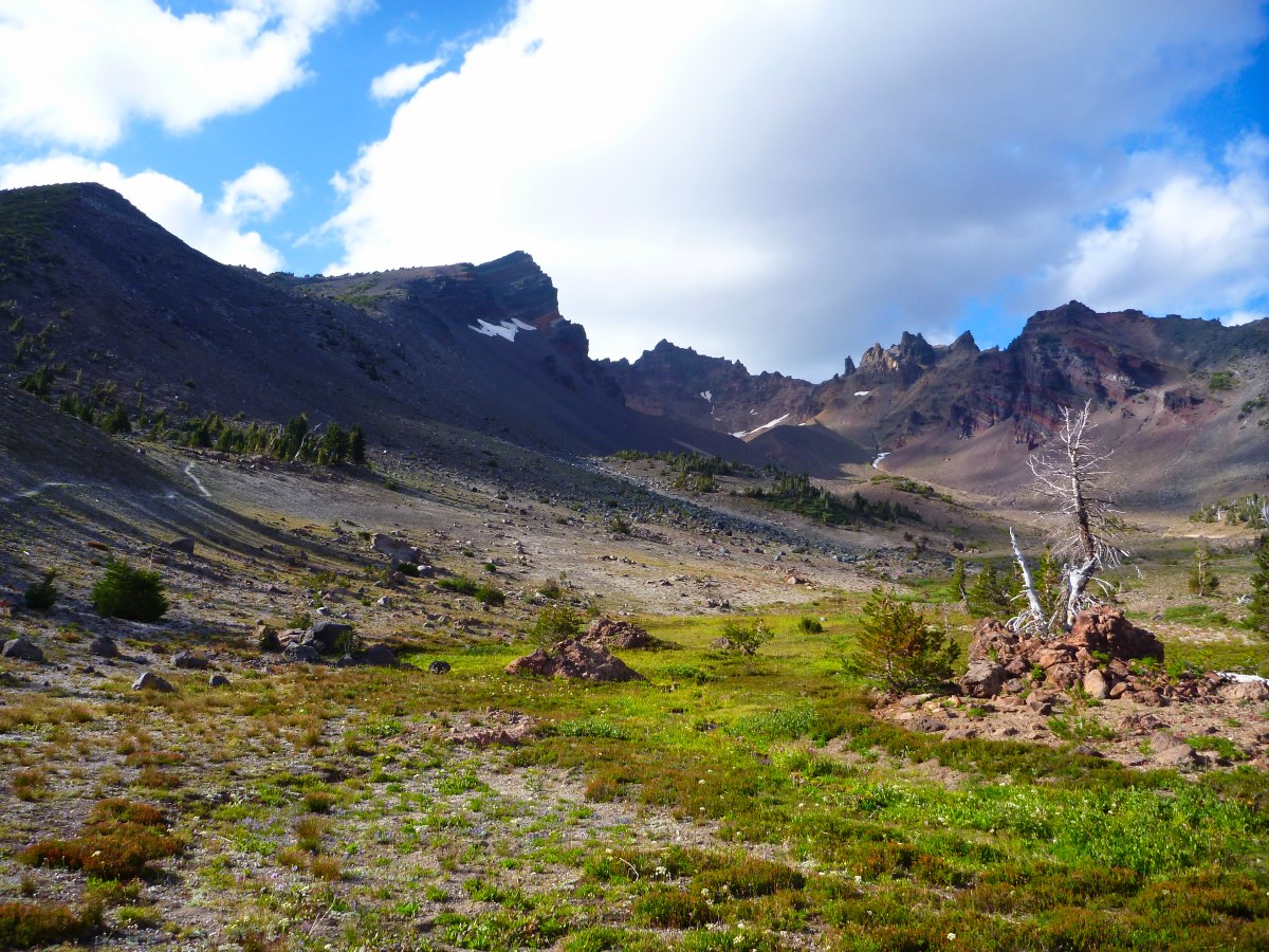
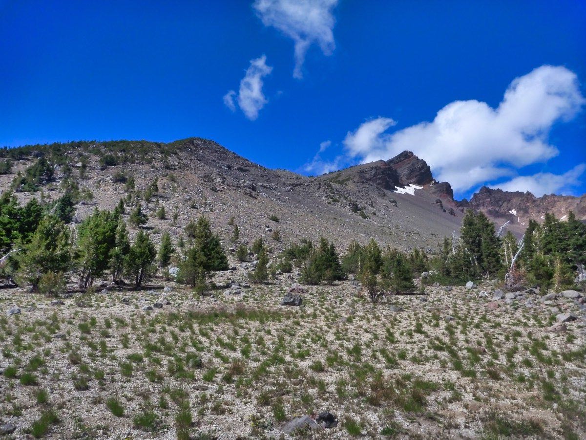
Following the Crater Creek headworks, the trail kind of comes to an end. There will be a big dump of alluvial deposits dropped out by Crater Creek that you need to work your way across. From here, you should be facing the southern end of the crater opening. If you look to your left, the scree and dwarf pine covered hill will mark the start of your climb. Head to that hill and begin working your way up.
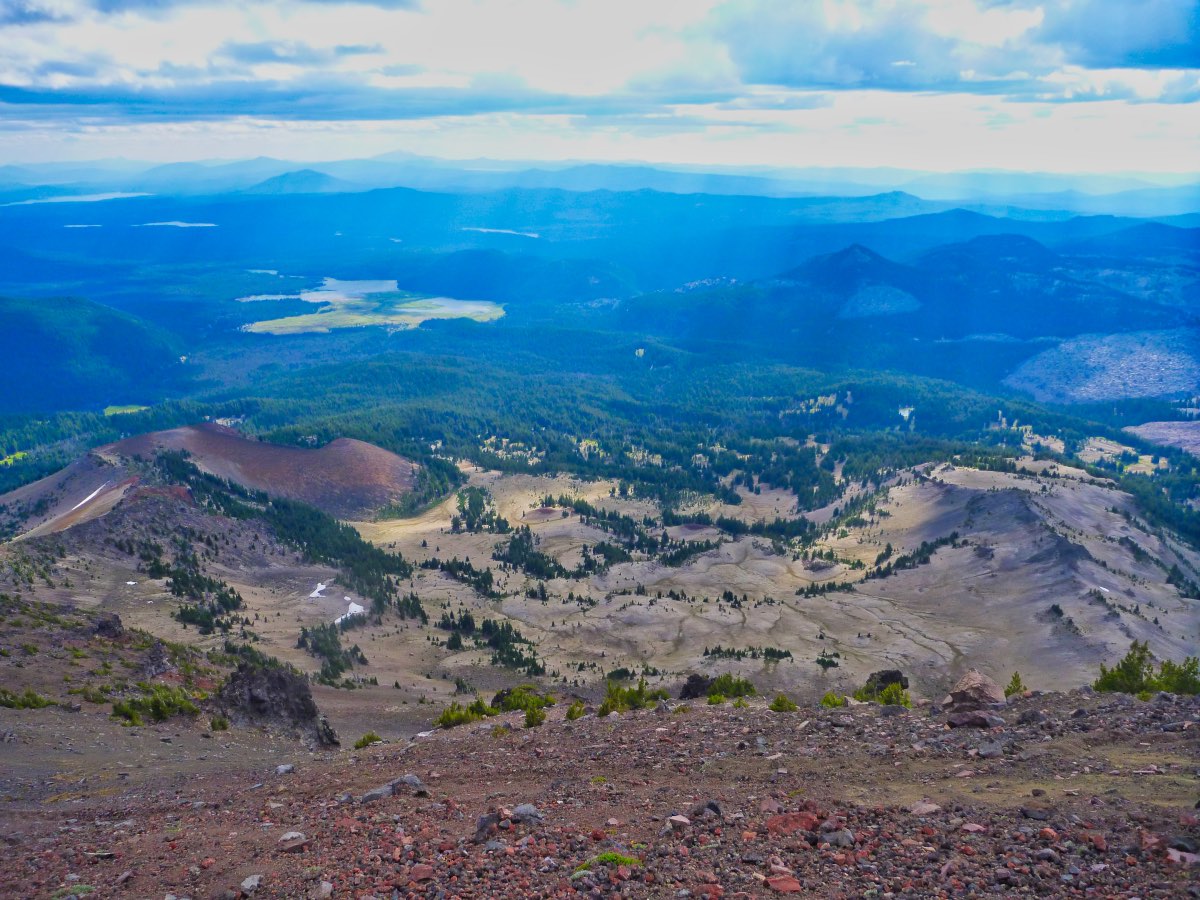
Although the overall elevation gain to reach the South Summit isn’t huge, it is really steep. This first hill you climb will gain about 1,000 feet in a half a mile. There also isn’t a trail, so the ground gets progressively looser as you climb and you have to find gaps to wind your way through the trees. The views get better and better as you ascend. As you approach the top of the first hill, you will notice that you could side hill it across the face to the opposite ridge line to avoid a little bit of vertical. Don’t do it. The face is very steep and loose and you will expend way over energy trying to shuffle your way across it rather than just climbing that extra 50 feet or so.
Once on the hilltop, follow the ridgeline above the snowfield for a small reprieve in climbing. Don’t get too excited though. It only lasts for about a tenth of a mile and then things really go to hell. The final push has you climbing another 1,000 feet in about half a mile. And the ground on this last effort is nothing but loose crap. And a lot of the rock is pretty decent sized so swimming in it isn’t a ton of fun. The climb is also steep enough that you will feel you are losing as much ground as you are gaining. The final push is really a test of your mental fortitude. How bad to you really want to be up there….
Work your way up along the ridgeline. Try to follow some user trails if there are any present and don’t get too close to the crater’s edge. The southwest face of Broken Top is also pretty steep and steady, so don’t fall. You might slide or roll for a while before stopping. I don’t think it would feel good. As you climb, South Sister will start peeking into view and the views are awe inspiring.
As you start to reach the top, you will think you see the South Summit and may start angling towards it. Don’t do it. There is a false summit right before the true South Summit and they are separated by a deep collier. If you end up on the false summit, you will have to climb back down about 75 feet or so to get around the collier and then back up to the South Summit. So stay a little below the crater’s edge as you climb and you should miss the collier. Don’t worry, you won’t bypass the South Summit. The crater’s rim really drops off to the north of it.
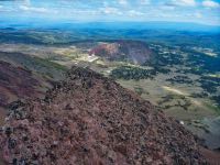
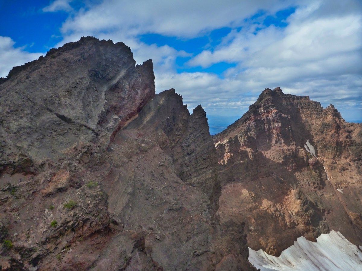
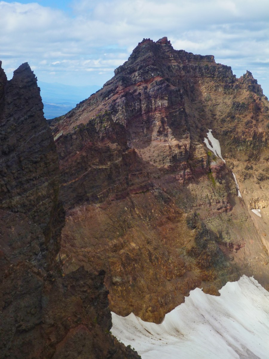
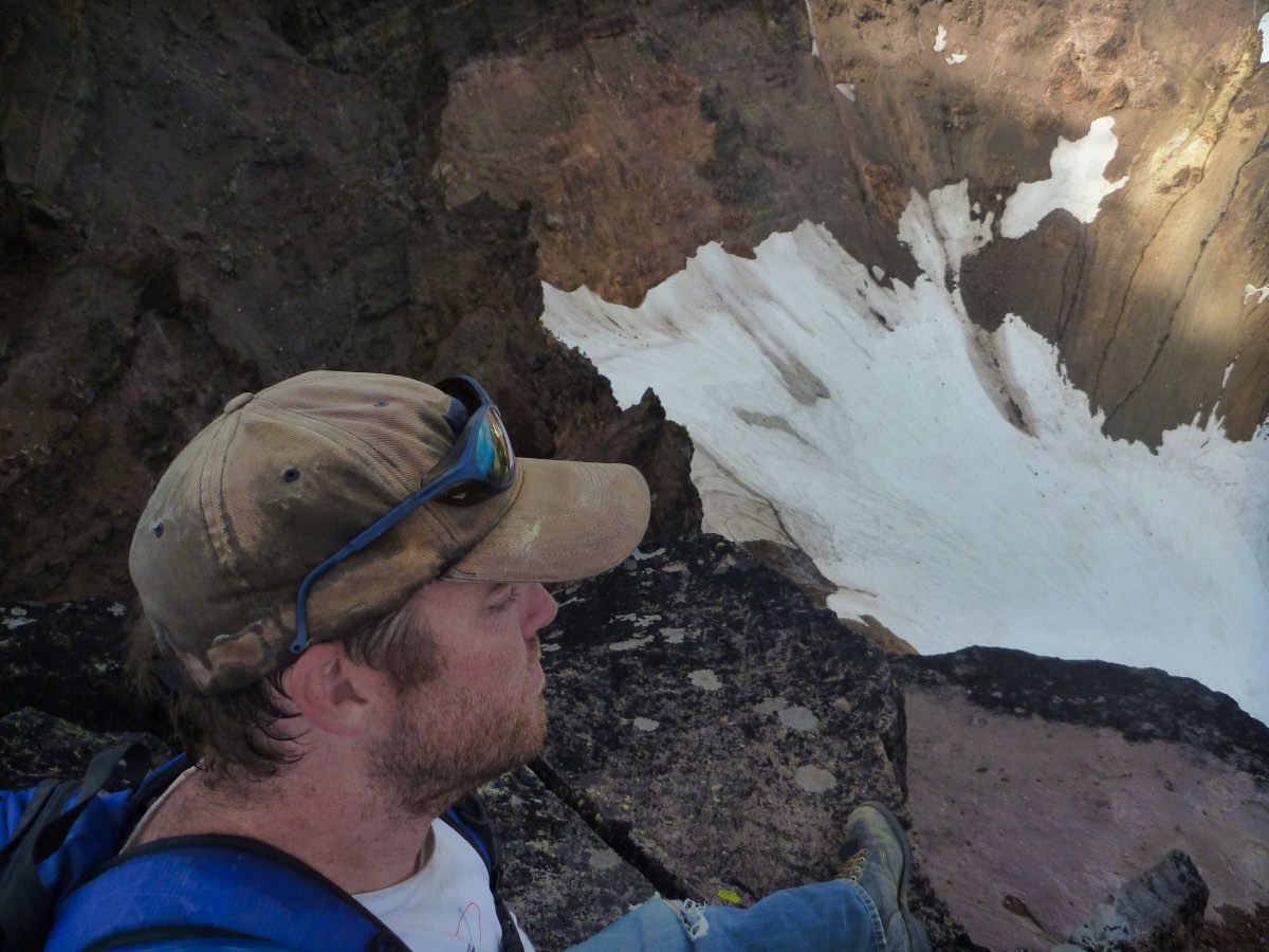
Once you reach the South Summit, marvel at the geological processes that eroded this giant chunk out of the mountain. Take in some sweeping views of the surrounding mountains. Try not to get a little vertigo as you stand on the lip of a 1,000 foot cliff. And don’t get too close to the edge. This mountain is just a giant pile to crap waiting to fall apart and standing on the edge of a cliff isn’t where you want to be if that piece starts to go.
When done, head back the way you came. Be careful because you will be tired, and most mountain climbing accidents happen on the way down. The ground makes for some perfect scree skiing if you are comfortable with that, just watch out for the larger rocks.
Directions
To reach the Crater Ditch Trailhead, follow Century Drive out of Bend towards Mt Bachelor. After you pass the West Village entrance to Bachelor, continue on Century Drive for 1.8 miles until you reach the Todd Lake turnoff. You will reach the Todd Lake parking lot along this nice, wide gravel road in about half a mile. Navigate through the throngs of humanity and continue on through the gate past the parking area. Here, the road narrows up, becoming a two track. This section of road isn’t too bad, although it can get bumpy and is narrow. Four wheel drive vehicles are recommended. You will reach the first intersection after 2.5 miles. Head left on it and follow the road for about half a mile to reach the trailhead.
Things to Know
Passes: A Central Cascades Wilderness Permit is required to access this area between June 15th and October 15th. The permits will be available from recreation.gov and will go on sale in early April. A Northwest Forest Pass is also required to park at this trailhead. A Northwest Forest Pass is required at this trailhead.
Dogs: Dogs are required to be on a leash on the Crater Ditch Trail between July 15th and September 15th. This isn't the best trip for dogs, however, because of all the loose, sharp rock involved in the climb as well as the unstable cliff edges.
Usage: Moderate-Heavy at the trailhead. Light up on the mountain.
Open Season: Most years will likely see snow on Broken Top into August. The Cascade Lakes Highway past Mt Bachelor usually opens around Memorial Day, but it may still be some time before you can get down the road past Todd Lake.
Hazards: Don't be stupid. You're climbing a mountain. There's a lot that can go wrong very quickly and you are an environemnt where the weather can change from 70 and sunny to a blizzard within an hour. Be prepared and know your limits.


