The Labyrinth to Coyote Wall
Length: 7.2 miles
Elevation Gain: 1650 feet
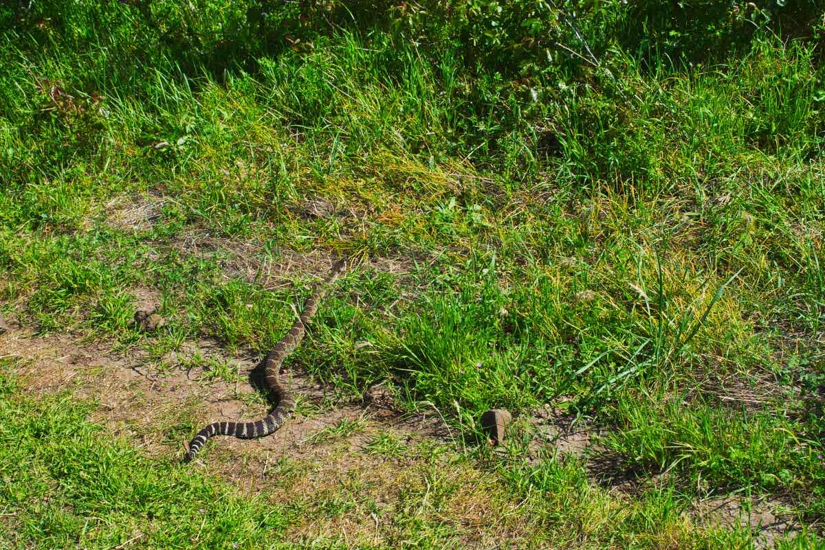
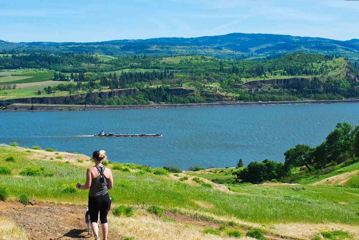
The Coyote Wall is one of the most recognizable features within the Columbia River Gorge, and the opportunity to hike along the upper face is an experience one shouldn’t miss. Plus there are a lot of other cool aspects of this hike besides just Coyote Wall. The Columbia River is the only river to pass through the Cascades between Northern California and Southern British Columbia, and the gorge it has carved out has an extremely diverse range of ecosystems and vistas for your enjoyment. This ecosystem also contains an abundance of poison oak and rattlesnakes, so watch where you are stepping. Dogs are required to be on a leash here from December 1 through June 30 because of nesting ground birds.
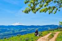
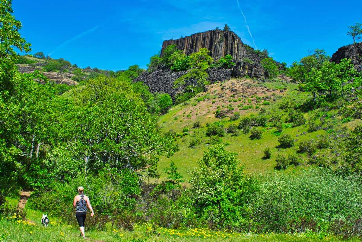
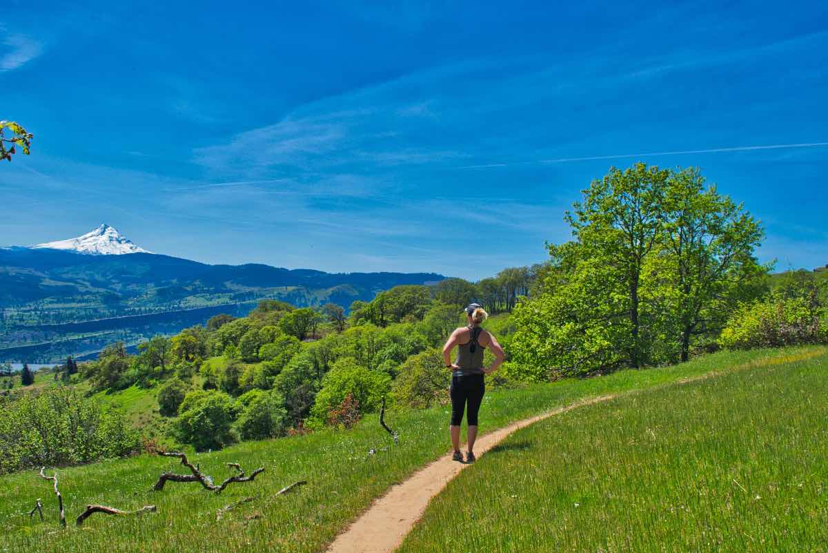
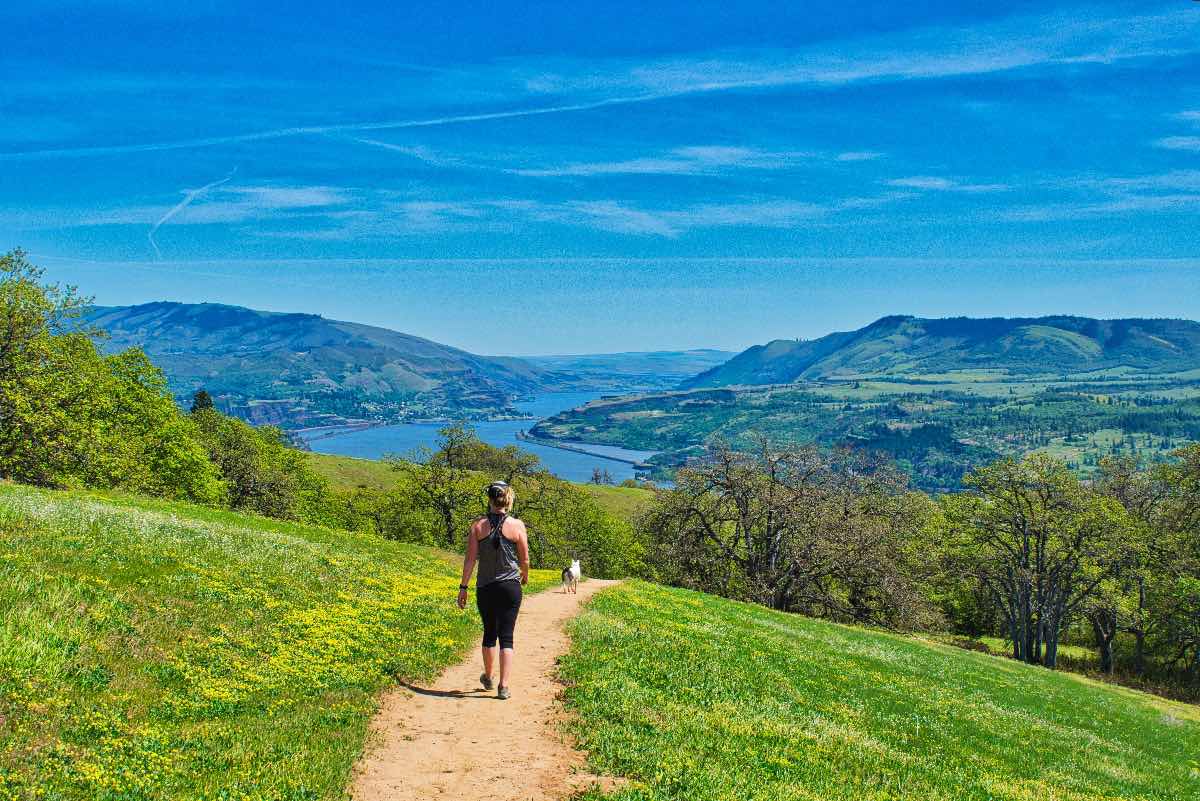
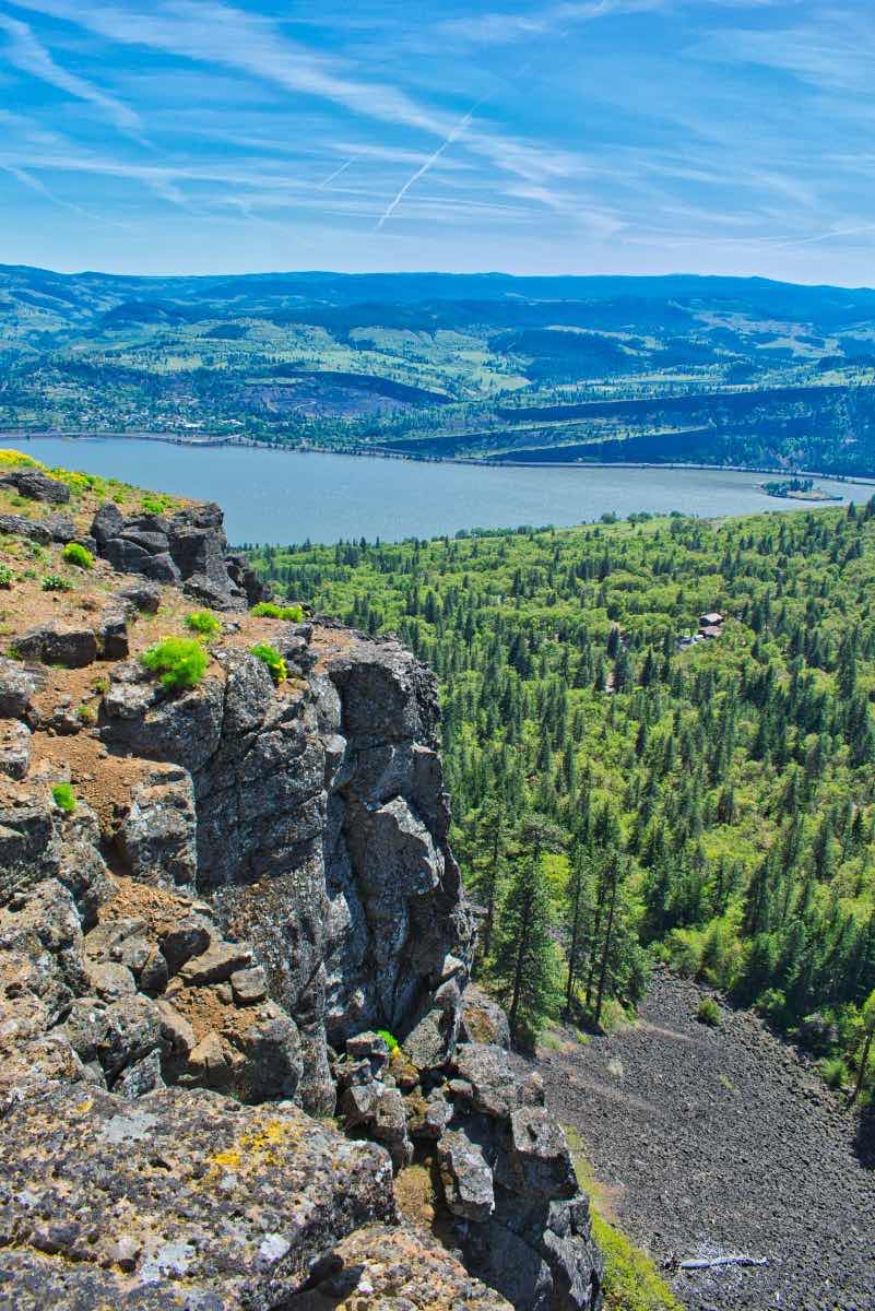
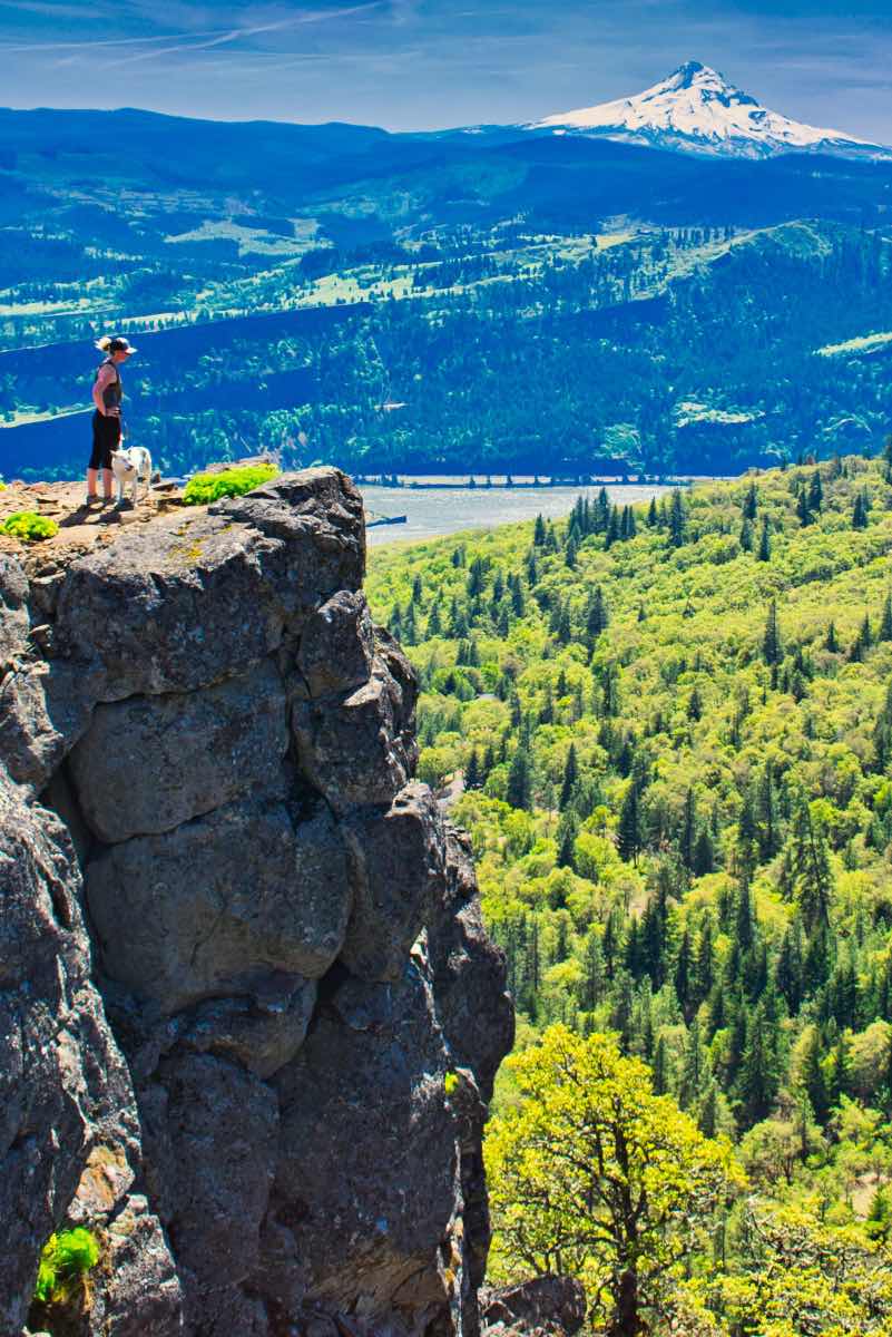
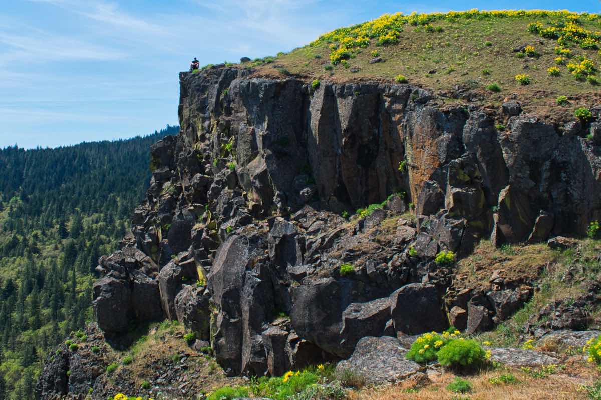
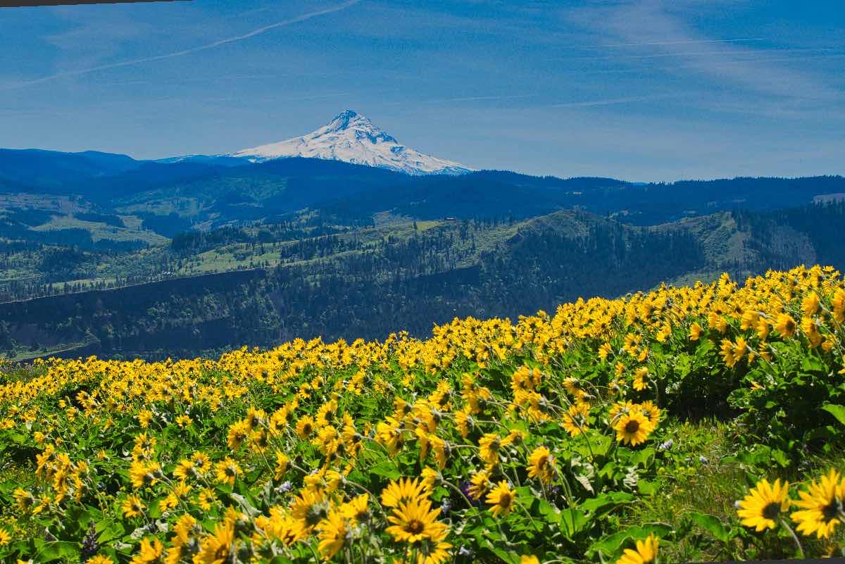
The Labyrinth and Coyote Wall Trails are located on the eastern, drier end of the gorge. This has created a more woodland environment than the dense forest you find closer to Portland near the more famous waterfalls. However, the openness also lends itself to some amazing views stretching up and down the river with Mt. Hood looking over you. It also gives you the opportunity to witness the effects of the Missoula Floods first hand. These massive floods occurred at the end of the last ice age over the course of 2,000 years, about 15,000 years ago. Every 50 years or so, an ice dam backing up the Clark Fork River in western Montana would burst, sending as much as 14 cubic miles of water per hour rushing over eastern Washington and down the Columbia. These waters pounded through the gorge, almost a thousand feet deep, and moving at up to 80 mph. They scoured the canyons clean, leaving the basalt cliffs you now get to enjoy.
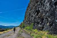
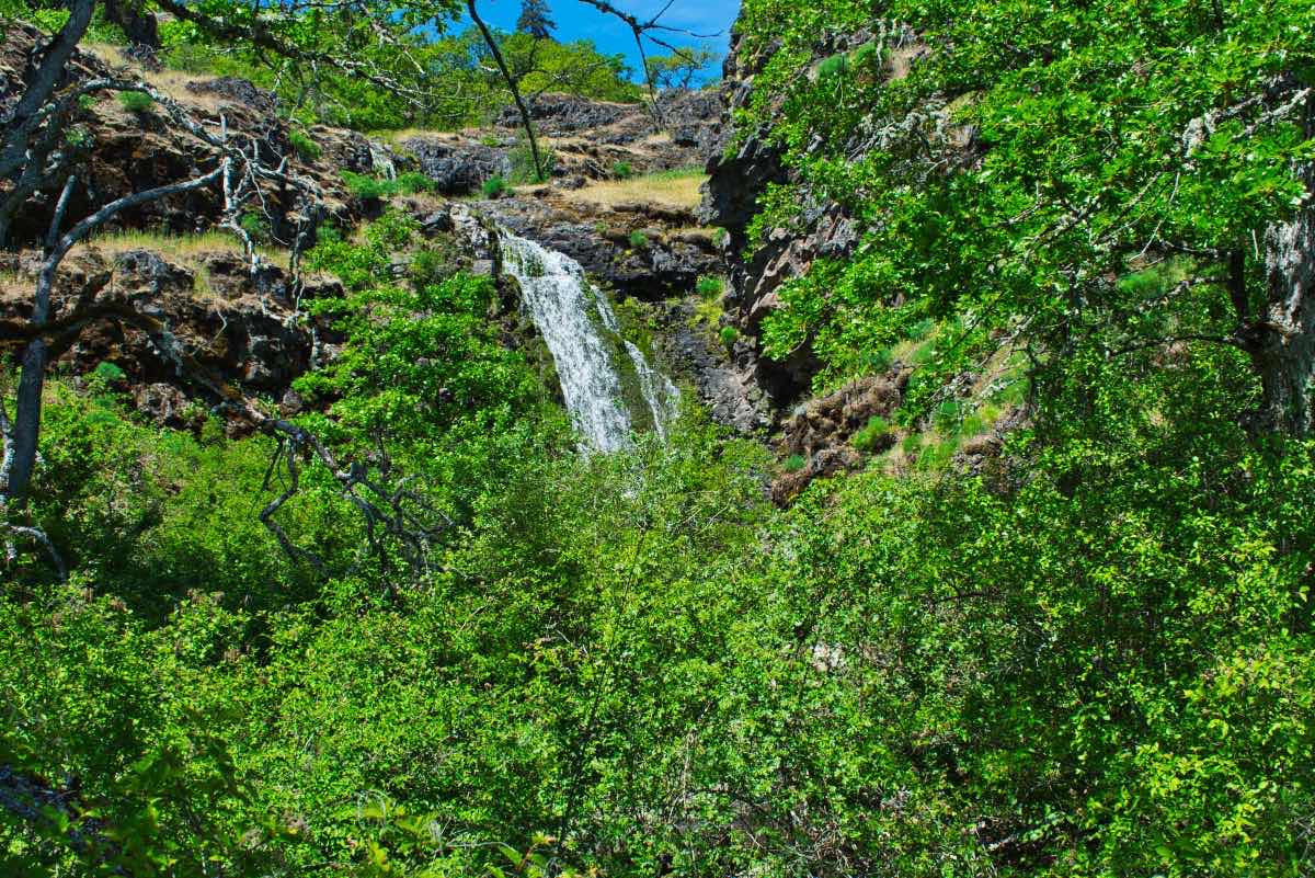
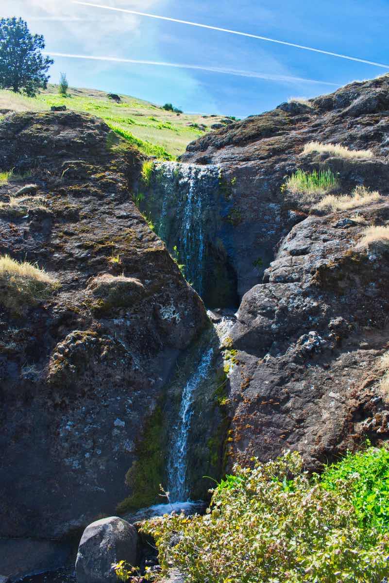
The hike begins at the Labyrinth trailhead, just on the western end of Rowland Lake. There really isn’t a defined trailhead or anything, but there is a wide spot in the road for you to park. Depending on the time of year and how busy it is, you will probably also notice cars lining the road around the lake. Begin hiking southwest up old Highway 8. In less than ¼ mile, you will come to a nice waterfall as Labyrinth Creek spills over a cliff and then passes under the road. At 0.4 miles, you will reach the lower end of the Labyrinth Trail as it heads off to your right.
The trail quickly begins climbing up through the maze of basalt that gives the Labyrinth its name. You will pass two more falls along Labyrinth Creek as you wind your way up the gorge. There are a number of side trails and other intersections along this route, so having a GPS with the route marked for you is extremely helpful. In less than a mile, you will cross to the east side Labyrinth Creek and head up along the base of a columnar basalt formation known as Accordion Rock.
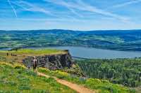
At about 1.25 miles, you will reach an intersection in the trail. Head to the left and climb up some trail that looks like it just disappears into rock. Once you pass up and over this steep section, the trail will return to single track as it loops around a rocky knoll. The trail spends the next half mile traversing the slope above Rowland Lake before reaching a beautiful viewpoint. Once you’ve had your fill of Mt Hood and the Columbia, continue following the trail as it turns back towards the west and switchbacks a couple more times up the gorge.
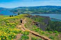
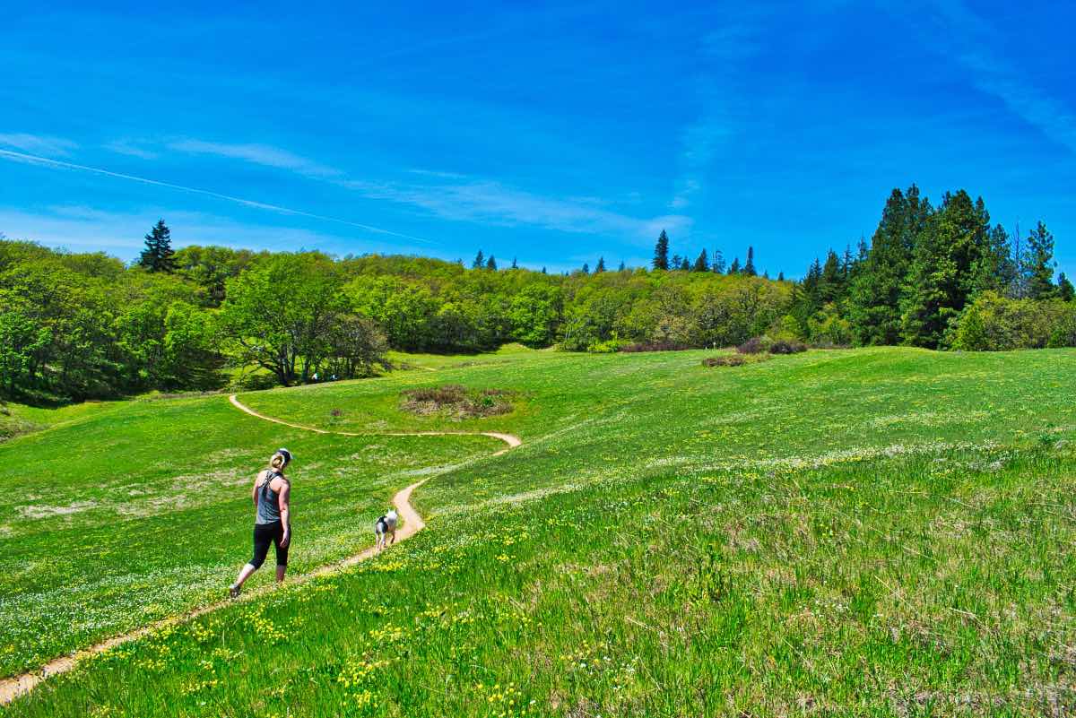
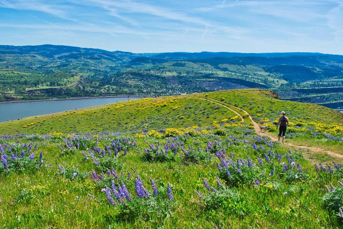
If you time your hike right, it is around here that the flowers will really start to take hold. In addition, the blankets of green grass make it feel almost like your walking through a manicured lawn as you pass in and out of groves of Oregon White Oak. You only have a about a half mile more of climbing before you get to enjoy a mile or so a relative flat strolling. After that half mile, you will encounter the intersection with the Catherine Creek trail heading to your right and Atwood road heading left. Go left and traverse along the valley side for less than half a mile before crossing back over Labyrinth Creek. Once you climb back up out of the creek, there can seem like there are trails going everywhere. Take the Old Ranch Road is it heads south for 0.3 miles and until you hit the intersection with the Coyote Wall trail. Take this trail to your right as it begins switch backing uphill again. After another half mile, you will cross a small creek and then notice a two-track road heading straight up the hill and a single track trail heading up the creek. Both will lead you to the same place, the single track will just take a little longer to get there. Once you climb up this hill, you will finally find yourself on the edge of the Coyote Wall.
From here, to try and prevent from retracing your steps, head straight up the wide, road like trail that is away from the edge of the wall. You will have the privilege of climbing about 250 feet in a quarter mile, but you will be doing it through luscious fields of balsamroot. Pass through the first trail intersection you encounter and then, you will reach a nice pine tree overlooking the wall as the trail along the face of the wall joins up.
Turn to the left and begin walking along the crest of Coyote Wall. Here, the trail meanders down the gorge, placing you right on the edge of the cliff at times, for the next mile. The views across to Mt. Hood and the river are spectacular. You will also pass by a memorial to a mountain biker who fell off the cliff in 2005. So watch your step. After a little while, you may notice that the trail keeps switching back and forth but there is a more direct trail heading straight down. If your tired of being right on the edge of the wall, feel free to follow this more direct route. Just be cautious because it is steep and loose and you may find yourself on your butt a time or two.
After hiking down Coyote Wall for a mile or so, you will come to the intersection with Old Ranch Road. Turn to your right and continue down a short distance until you come to another intersections. Continue following Old Ranch Road as it switchbacks to your left. In less than a quarter mile, your mind will start to spin as you hit another intersection, this time with the Little Maui Trail. Follow this trail to your left as it zigzags down the gorge. There are a couple of nice falls along this route as well.
In a little over a mile, you will cross the Old Ranch Road once more. Here, if you feel like it, you can take one last big switch back along a nice easy grade, because maybe you haven’t enjoyed the previous 34,000 quite enough. Or, there is a more direct route that will take you down to Old Highway 8. Once you hit the road, turn left and mosey along the pavement for the final .6 miles to your car.
Directions
Just because the route description is 30 pages long doesn’t mean finding the trailhead is hard, right? If you are coming from the west, take Highway 14, the highway on the Washington side of the river, for 4 miles past Bingen. If you are coming from the east, head about 5 miles past Lyle, also on Highway 14. The trailhead is a wide spot on the road right on the west side of Rowland Lake.
Things to Know
Passes: No passes required.
Dogs: Dogs must be on a leash from December 1 through June 30.
Usage: Moderate
Open Season: Open year round.
Flowers: April-May
Hazards: There are a lot of rattlesnakes in this area and there can also be a fair amount of ticks at certain times of the year.

