Diamond Creek Falls
Length: 3.5 miles
Elevation Gain: 600 feet.
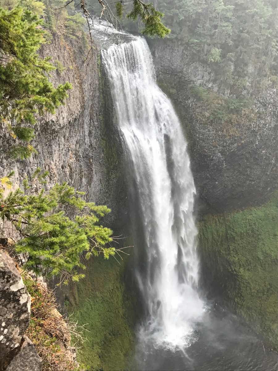
The hike to Diamond Creek Falls begins with some amazing views of another waterfall, Salt Creek Falls. You have to go a little out of your way to view this falls, but it is definitely worth it. With a drop of over 280 feet, Salt Creek falls is the second highest waterfall in Oregon. To view the falls, simply follow the paved footpath leading north from the bathrooms about 100 yards to the overlook. From that point, another trail will take you towards the fall along the canyon's rim. This is the beginning of the hike to Diamond Falls.
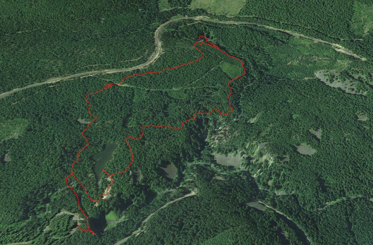
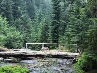
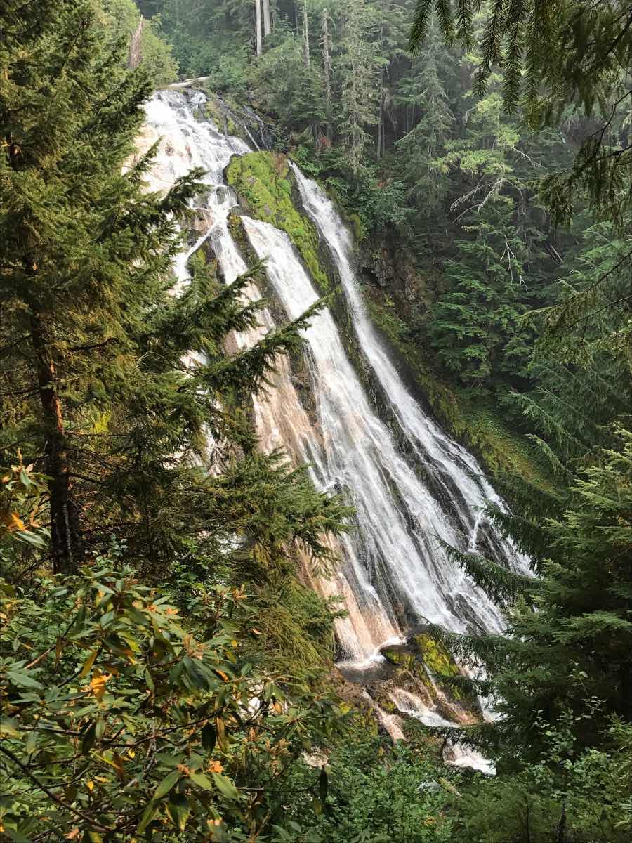
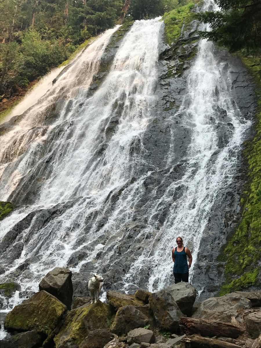
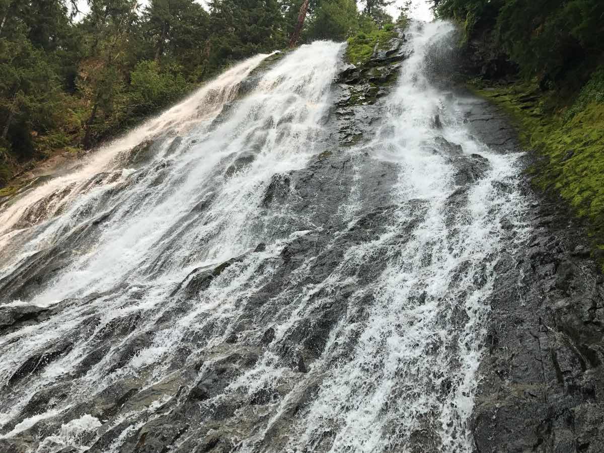
Diamond Creek Falls is one of those magical falls where you can climb right down to the base of it and play around in the cascading water. The falls drop roughly 90 feet and ends up nearly as wide at its base as it fans out over layers of basalt. As you follow Salt Creek upstream, the trail quickly crosses a bridge over the creek and then turns sharply to the right, where you have to cross another small creek. From here, the loop to Diamond Creek Falls begins. We chose to go clockwise because my brain is wired that way and I didn't want to be twitching for the duration of the hike. The trail climbs a small hill, gaining about 200 feet over roughly the next half mile. You will find yourself near some railroad tracks for a little while here so don't be too surprised is you hear a train blast by.
From here, the trail moseys along relatively easily for anther half mile or so until you reach an overlook at Diamond Creek Falls. It's hard to get a real good view of the falls from this spot because it is kind of hidden behind some trees, but don't worry, better is yet to come. Continue down the trail for another 500 feet or so and you'll come to a trail junction, with the trail dropping down to the base of the falls veering off to your left. This trail is way more difficult then the main loop, with some very steep sections as well as side hilling along loose ground, but the view from the base of the waterfall is worth it. The side trip will only add about 1/3 of a mile to the loop.
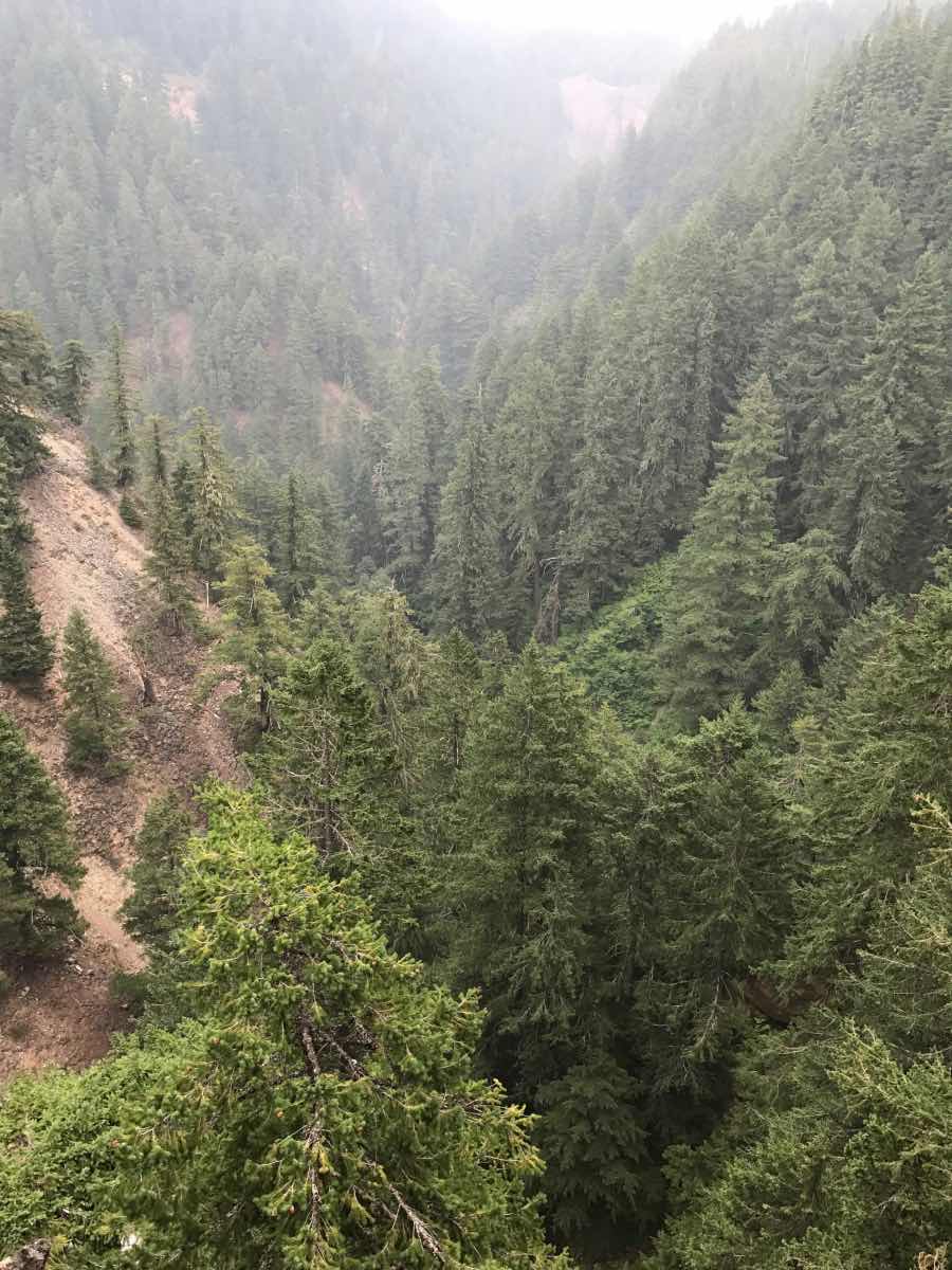
After regaining the main trail following your excursion to the base of the waterfall, the trail continues down the rim of Diamond Creek for another half mile or so until it opens up with some pretty amazing views of Salt Creek Canyon. There will be numerous viewpoints along this stretch of trail so that you can get out and look over the canyon. In another half mile or so, another side trail, if you choose to accept it, will lead you to Too Much Bear Lake. We didn't see any bear, but the lake was pretty. After the lake, it's only 1/4 of a mile back to the start of the loop. Just don't forget to head back over that small creek to head back to the parking lot, unless you want to do the loop again. Then more power to you.
Directions
The trailhead to Diamond Creek Falls is located at the Salt Creek Falls viewpoint just off of Highway 58. If you are coming from the east, the road to the viewpoint is located 5 miles past Willamette Pass ski area. If you are approaching from the west, the road is only about 1 mile past the exit of the tunnel, on the south side of the highway. Just look for the signs.
Things to Know
Passes: Northwest Forest Pass is required at this trailhead.
Dogs: Allowed and must be on leash or under voice command at all times.
Usage: Light
Open Season: Snow will usually be melted by late spring.
Bugs: Mosquitos can be bad during the melt season in the spring.
Flowers: Rhododendrons within the forest bloom in the spring.
Flows: Flows over the waterfalls are generally best between April and August.
