Dog Mountain
Distance: 6.9 miles
Elevation Gain: 2,850 feet.
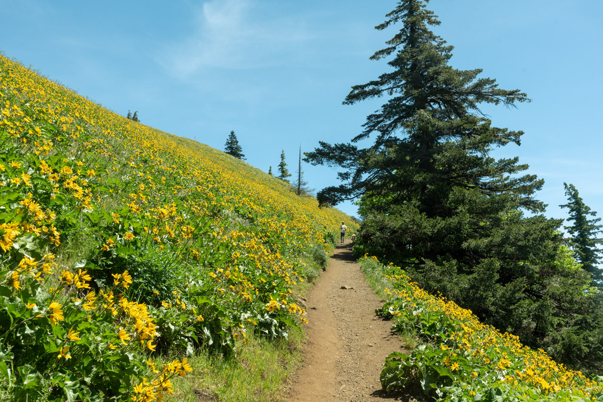
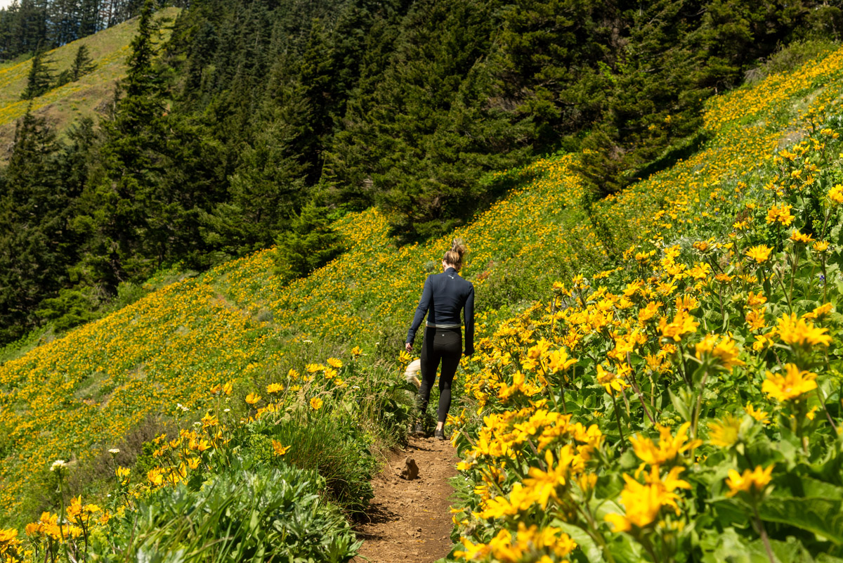
The Columbia River Gorge becomes a wildflower mecca in the spring, with endless fields of yellow balsamroot everywhere, like something out of a fairy tale. There are tons of different hikes of different ability levels you can take to view this phenomena (in some places you don’t even need to get out of the car), but if there is a pinnacle experience of them all, it very well could be Dog Mountain.
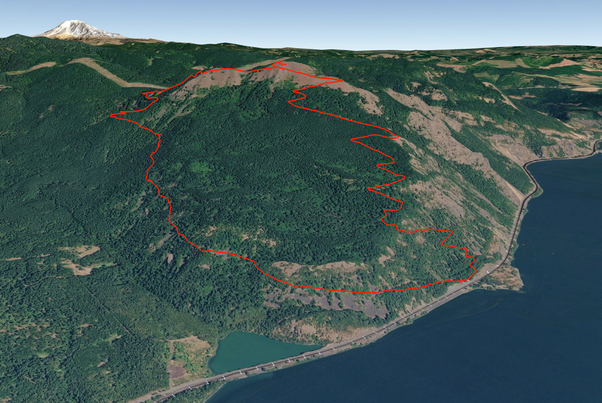
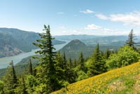
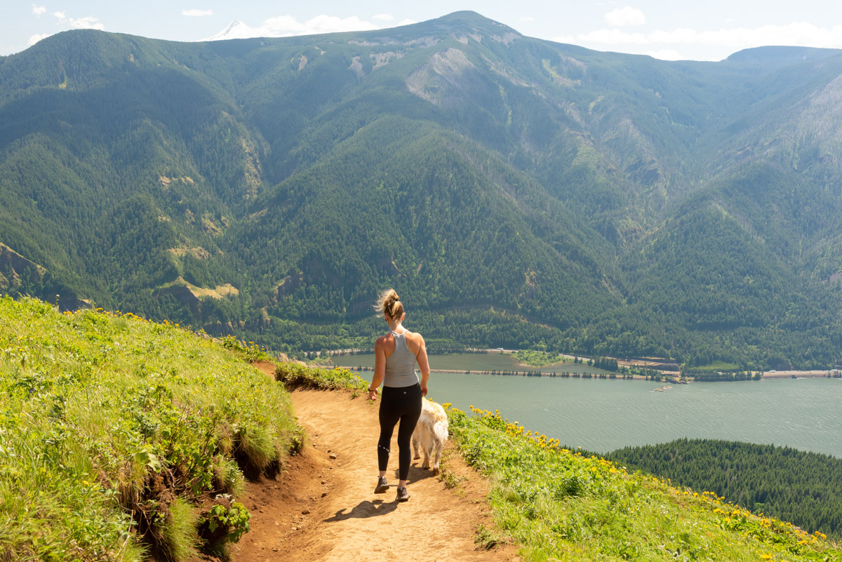
Dog Mountain stands as the highest point within the Columbia River Gorge on the Washington side, topping out at just under 3,000 feet. And this trail goes all the way to the top. Being that the Columbia River in this area isn’t even at 100 feet of elevation, and the trailhead is located just off of it, you can envision the amount of climbing you are in store for. And it is steep. But, if you are up for it, the meadows of wildflowers near the summit and the views of the river and gorge are unparalleled.
The trail begins from a large parking area right off of Highway 14, which runs along the Washington side of the Columbia. But just because it is a large parking area doesn’t mean that you will be able to find a parking spot, especially during wildflower season. This trail has become so popular that permits are now required on weekends between April and the beginning of June, as well as on Memorial Day. Weekdays are still permit free, but the crowds can almost be worse.
The hike up Dog Mountain begins by heading up a hill out of the east side of the parking area. If you were looking for a bathroom, you will pass one soon, so don’t fret if you need to go when reaching the trailhead. (Hitting in on the way back kind of sucks though, especially if you take the Augspurger Mountain Trail down.) And if you thought that initial push up to the bathroom was a leg burner, buckle up, cause it’s pretty much like that the whole way, with the occasional steep spot.
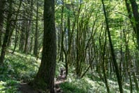
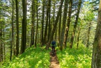
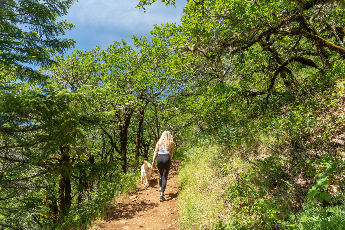
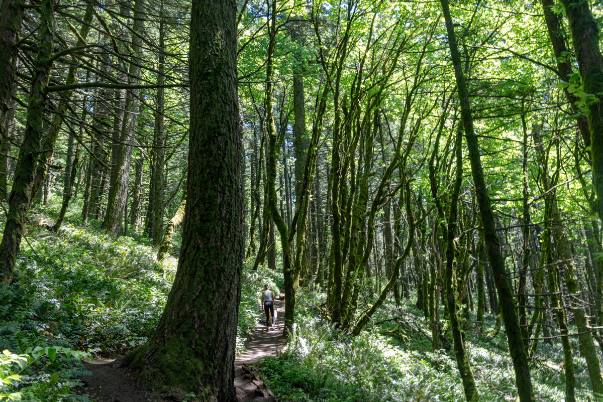
The trail climbs and switchbacks steadily through the woods at the base of the mountain for the first 2/3 of a mile, gaining about 750 feet, until you reach a trail junction. Here, both routes head to the same place, but the one on the right is labeled hard and the one on the left is harder. The trail on the right is slightly longer, about 0.2 miles or so miles or so, but that means it’s also not as steep. There are also the first viewpoint along the right trail, so I would recommend heading that way.
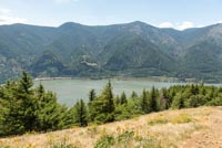
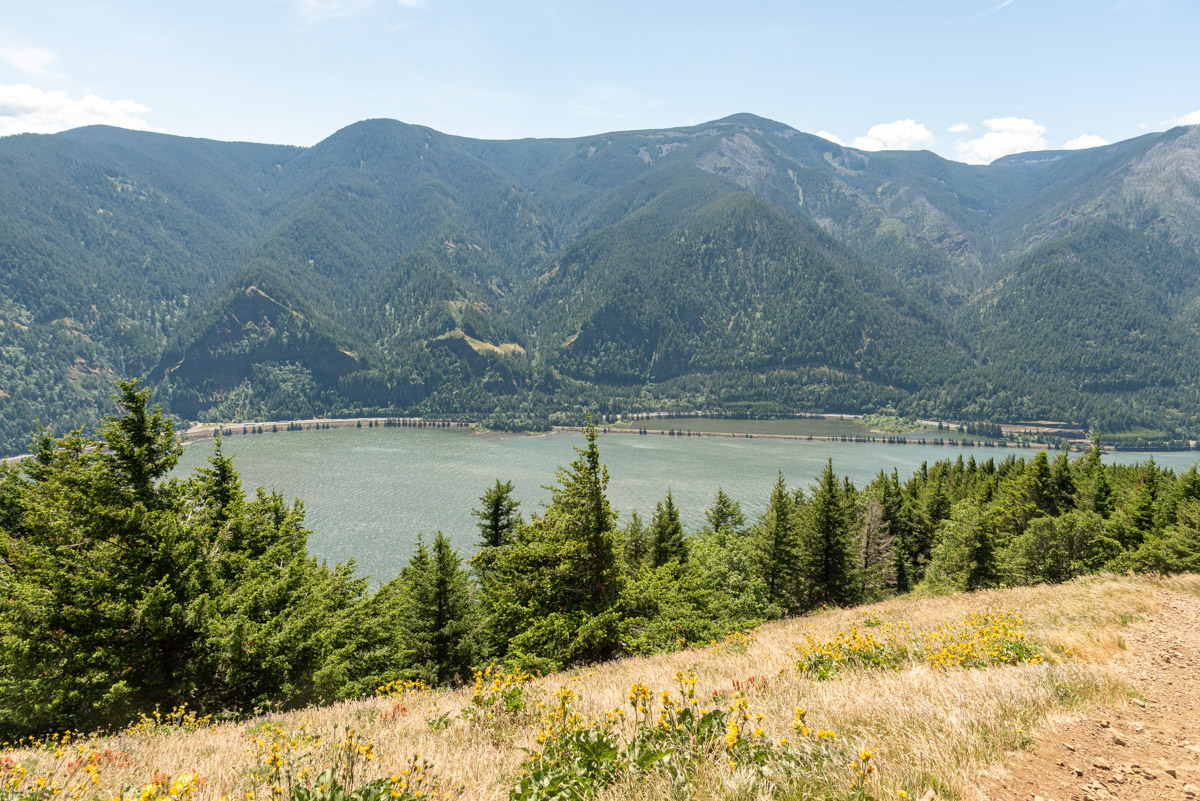
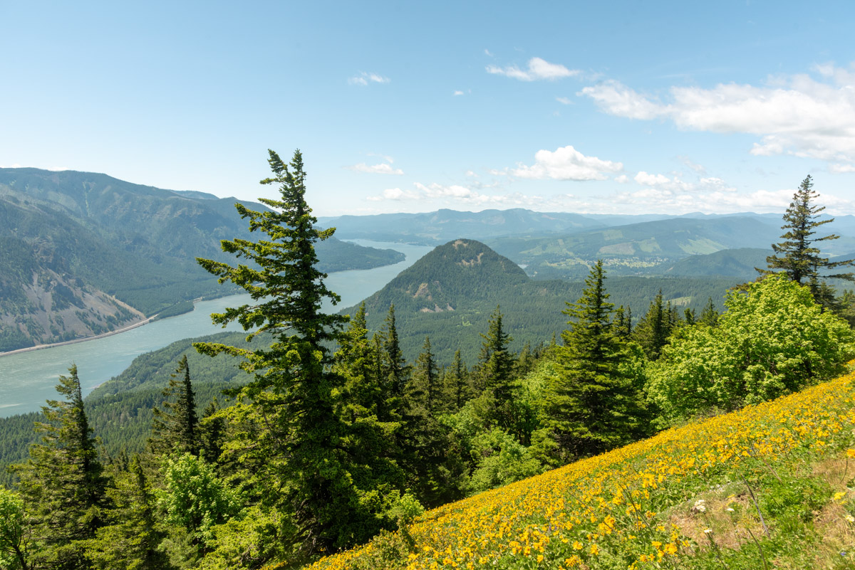
The first viewpoint is about a 1/3 of a mile from that trail junction. It isn’t super big, but it opens up allowing for some views down the Columbia and towards Wind Mountain. It will also give a few samples of balsamroot. But dive back into the forest and continue climbing for another mile and reach the junction with the harder trail. Keep heading up as you’re getting close to the cool part.
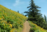
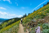
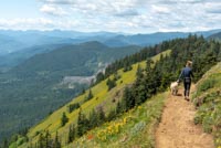
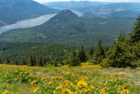
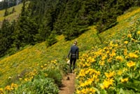
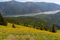
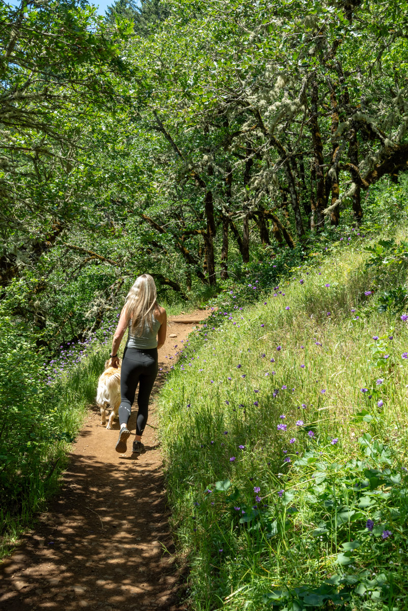
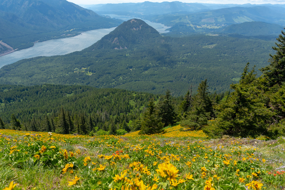
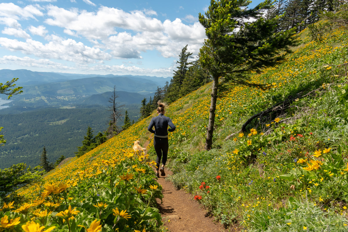
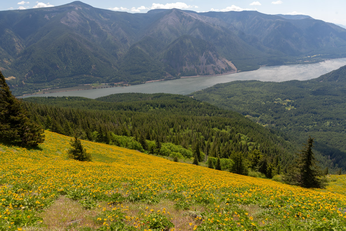
Following the second trail junction, it’s only about a quarter of a mile before you break of the trees into the wildflower meadows. The views are outstanding and the flowers seem endless. But just because you’re in the meadows doesn’t mean the climbing stops. But you do only have about 500 feet to go. A little ways ahead, you will reach Puppy Dog Point, the site of a former lookout. The views do on forever, but you’re not quite there yet.
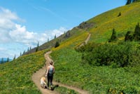
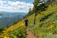
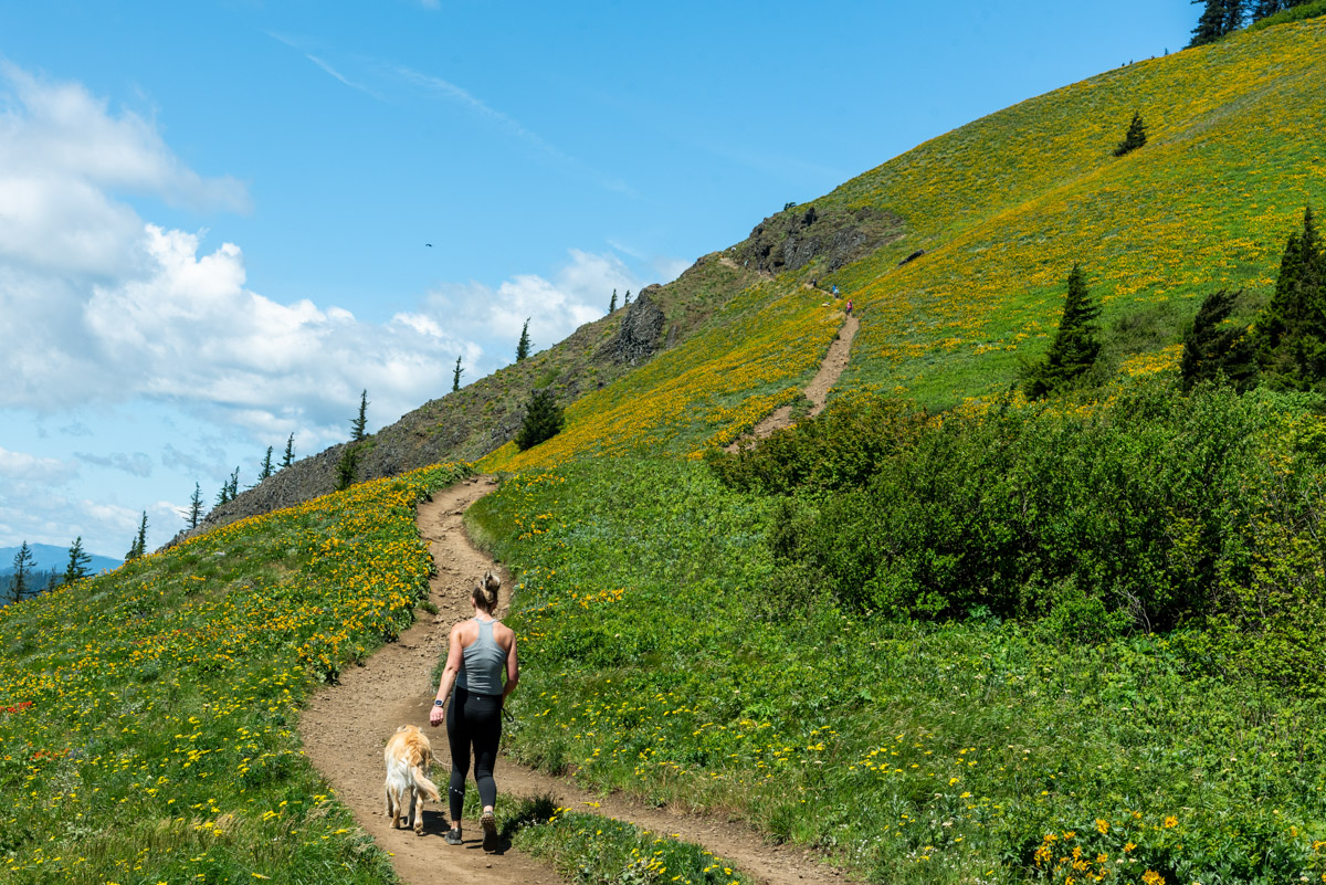
Keep heading up a long slog passing through some cliff bands. The wildflowers just don’t stop. And don’t be surprised if there are some gale force winds trying to blow your hat away or whip your hair into your face. I believe the technical term is “breezy”. Pass through the cliff and reach another junction, this one with the Dog Augspurger Trail. Head to the right on its just a quick couple of switchbacks and you will have reached the summit. The actual summit is back in the trees a little bit (there’s a sign on a tree for you peak baggers), but there isn’t much else to see. It can get you out of the wind though, which can be nice. Or just sit there right where the trees meet the meadows and enjoy one of the best views in the gorge.
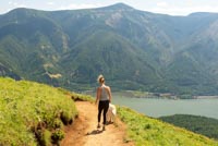
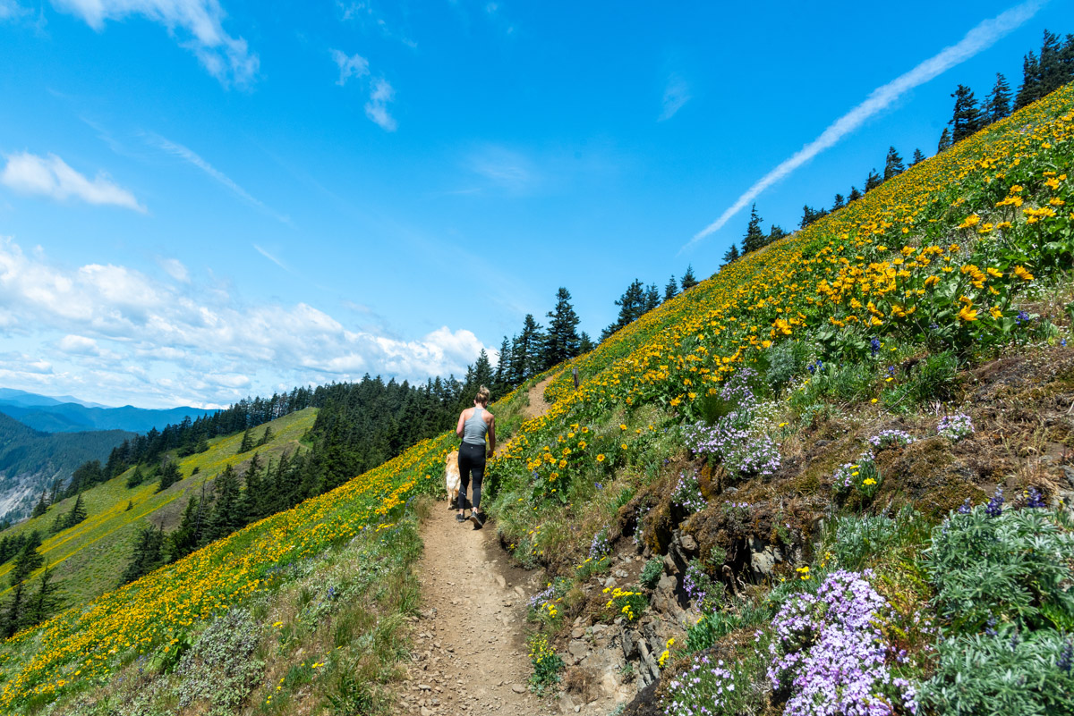
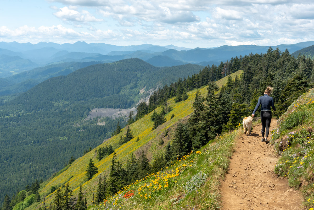
When you are ready to head back, you can either head down the way you came, or take that Augspurger Mountain Trail down. I would highly recommend the Augspurger Mountain Trail. It does add on an extra mile, but it is not as steep and not as crowded. Plus, there is almost a half a mile of trail the travels along the upper western face of Doug Moutain that is just awesome. The meadows are still filled with color and flowers, and the mountain just drops away thousands of feet below you. The views of Wind Mountain, way below you, and the Columbia winding into the distance are specular. So when coming down off the summit block and you hit the junction with the Dog Augspurger Trail, head right and check it out.
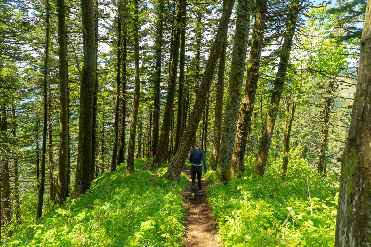
About a half a mile after reentering the forest, you will reach the junction with the Augspurger Mountain Trail. Make a left and begin working your way down the mountain. This is mostly a walk in the woods at this point, but the woods are pretty and there is an occasional break in the trees so gaze out at the views. And while not as steep as the way up, it is still steep and your tired legs will feel it after that crazy climb up.
Directions
The Dog Mountain trailhead is very easy to find. Just hop on WA-14 and head 12 miles east from the Bridge of the Gods or 11 miles west of the Hood River Bridge. The trailhead is well marked and on the north side of the road (the side away from the river for you directionally challenged folk. ((On second thought, if you can’t find this trailhead, you probably shouldn’t be walking through the woods.))
Things to Know
Passes:A northwest forest pass is required to park at the trailhead. You also need to secure a seasonal Dog Mountain Trail Service Vehicle Registration during the weekends between early April and early June and Memorial Day. This seasonal permit can be found on recreation.gov. In lieu of the passes, you can also take a free shuttle from Stevenson and a hand stamp will serve as your hiking permit.
Dogs: Allowed but must be kept on leash.
Usage: Very heavy during wildflower season. Moderate otherwise.
Flowers: Flowers generally start to bloom in mid to late April, depending on the year, and extend into early June.
Open Season: Year-round, but with as steep as this trail is, trying to hike it in ice and snow would not make for the most enjoyable of days.
Hazards:Don’t be surprised if you find a tick or tow while doing this hike. Also, keep your eye out for some poison oak. It’s also very steep, so don’t fall off the sides.