Fort Rock
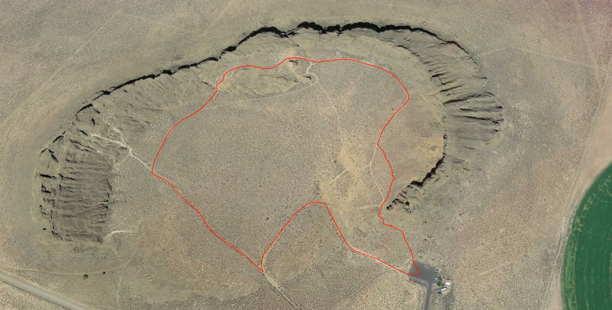
Length: 1.1 miles
Elevation Gain: 190 feet.
Fort Rock is a unique geological formation located in the middle of nowhere in South Central Oregon. While the actual hiking which can be done here is relatively tame and short compared with its distance from even moderate population centers, the chance to see what happens when a volcanic vent erupts under a lake is pretty cool.
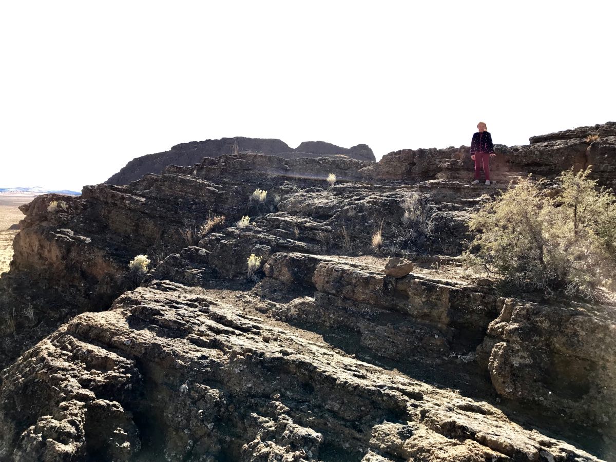
Fort Rock was formed between 50,000 and 100,000 years ago when lava rose to the surface and encountered the wet mud of a lake bottom. Ancient Fort Rock Lake once covered 900 square miles of the Christmas Valley area and was about 150 feet deep in the area around Fort Rock. When the lava encountered the lake bottom, a jet of steam was created which blew the lava into the air. As the lava rained down around the vent, it created a ring of tuff and ash. As the eons passes, waves from the lake eroded the outside of the ring, creating the steep cliffs present today. In addition, the predominate southerly winds in the area created more powerful waves against the south side of the ring, eventually breaching it and creating the large opening. What is now left is a three-sided ring of 200 foot tall cliffs extending from the desert floor.
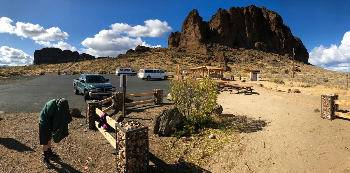
The hike begins from the parking area on the southeast side of the fort. Follow the main trail as it heads west out of the parking area and into the mouth of Fort Rock. There are trails all over the place inside the rock formation, so you can kind of explore as you see fit. However, if you would like to hike all the way around the inside of the ring, travel along this main trail until you encounter a trail junction that heads to your left. Take this for about 500 feet until it encounters another trail, then head right. After less than a quarter mile, you will find yourself up against the inside of the western wall.
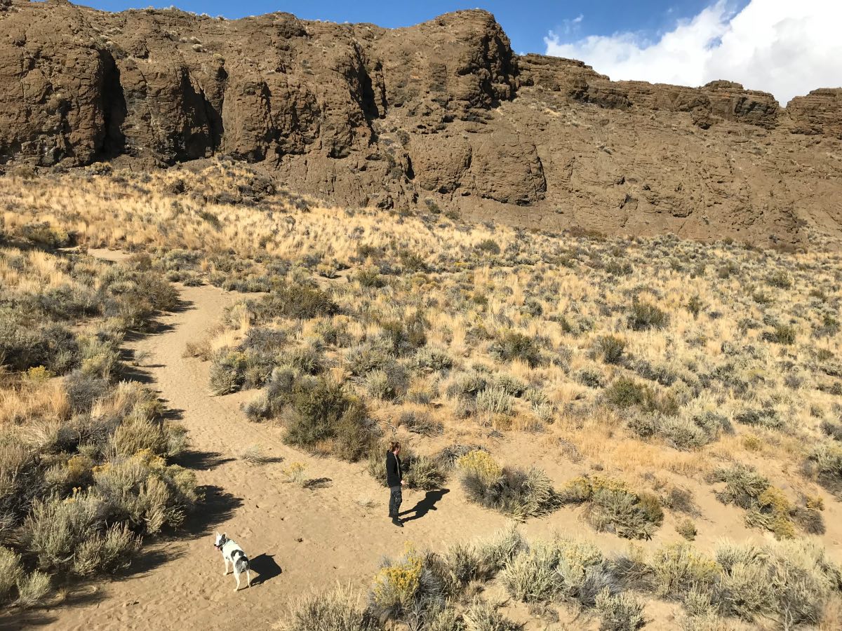
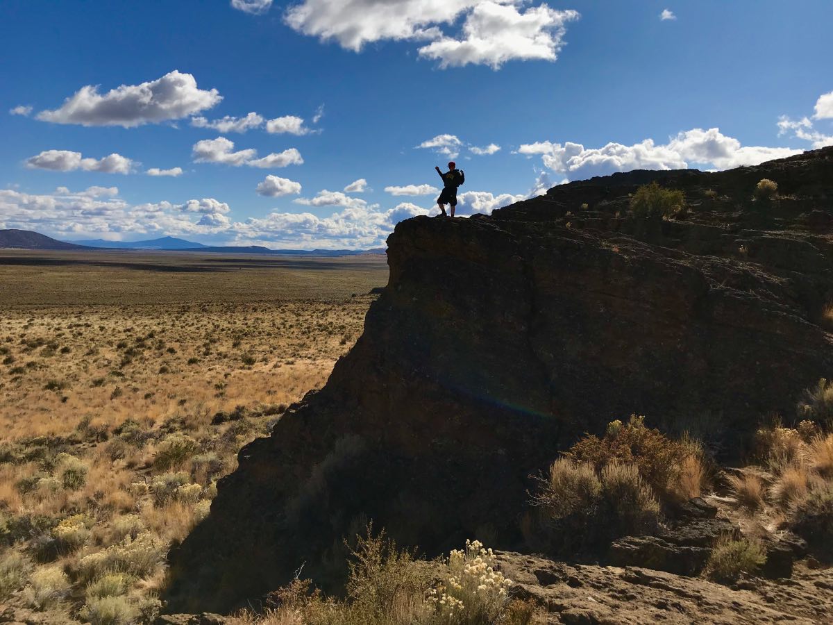
Make a right at the next trail intersection and this trail will then loop you around the base of the cliffs all around the inside of the fort. It will only take ¾ of a mile to complete this loop, but there are ample places to explore and rock to scramble up on along the way. If you choose to try and climb up onto the fort itself, be very cautious. It is always easier to climb up than down and there aren’t a lot of places where this can be done. If you don’t make note of where you got up, it can be hard to find a way back down again.
Directions
To reach Fork Rock from the north, travel 31 miles south of Bend on Highway 97, to just past La Pine. Here, head left onto Highway 31 towards Silver Lake. If you are coming from the southern end of the valley, Eugene or Roseburg areas, take either Willamette Pass or Highway 138 east until you reach Highway 97. The head north on 97 for 16 miles past Crescent and then make a right onto 31. Stay on 31 for another 29 miles and then make a left onto Fork Rock Road.
If you are coming from the south, Klamath Falls area, head north on 97 for 47 miles until you reach Silver Lake Road. Make a right and head east on it towards Silver Lake. 50 miles later, head left onto Highway 31 towards La Pine. You will encounter Fort Rock Road after 17 miles on your right.
Once on Fort Rock Road, from whichever direction you came, head down it for 6 miles towards the small town of Fort Rock. You can start to see the rock formation appear over the skyline as you approach. Once in Fort Rock, make a left onto Cabin Lake Road. There will be a sign directing you towards Fort Rock. Travel 1 mile north on Cabin Lake road and then make another left onto Cow Cave Lane. The parking area will be on the right in a mile. It’s kind of hard to miss.
Things to Know
Passes: No passes required.
Dogs: Allowed and must be on leash or under voice command at all times.
Usage: Light
Open Season: Trail is open all year.
Hazards: Don't get stuck on top of Fort Rock. You will feel dumb. Don't fall off either. You will wish you just felt dumb.
