Green Lakes - Soda Creek Loop
Distance: 12.6 miles.
Elevation Gain: 1,360 feet.
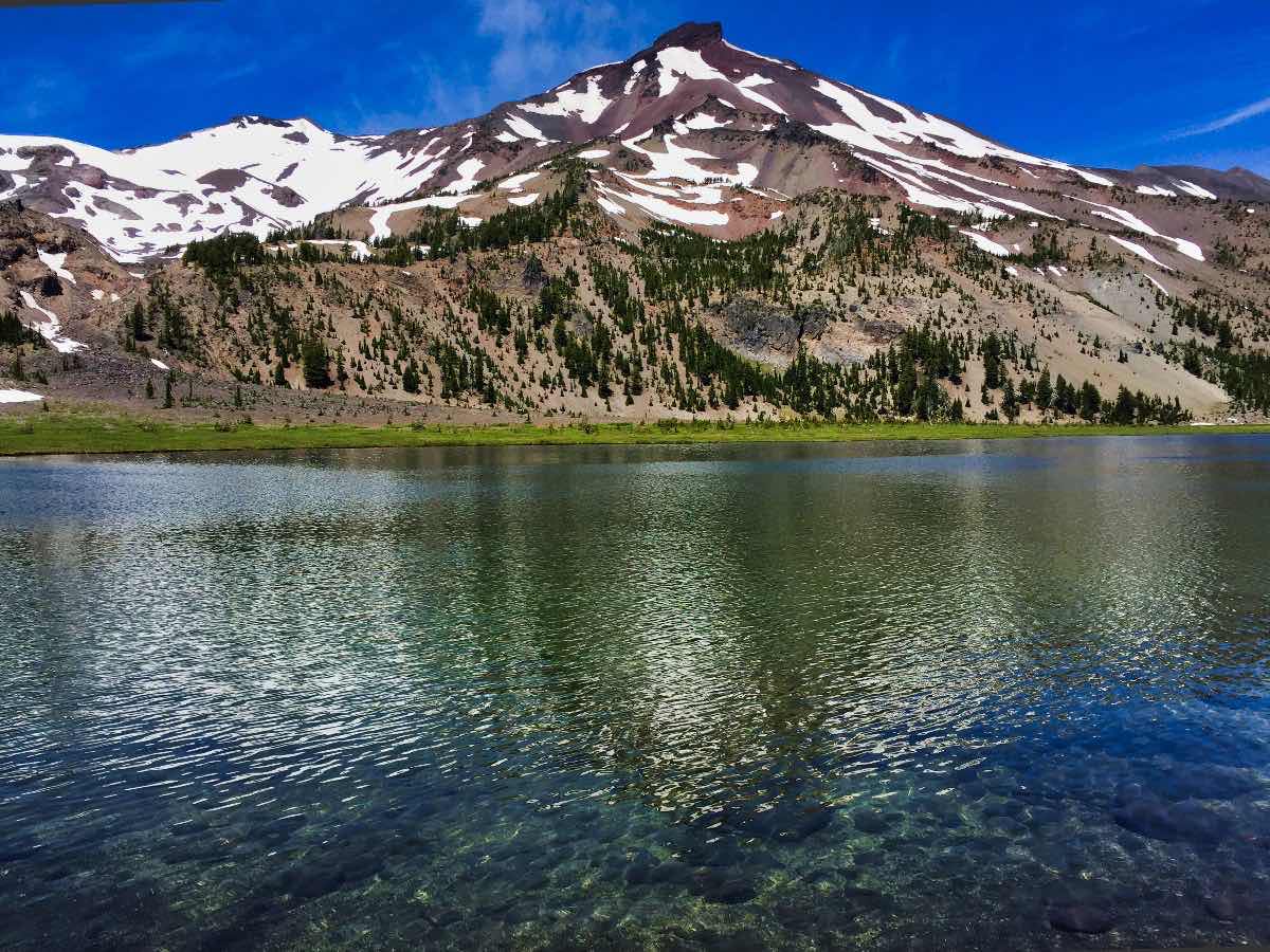
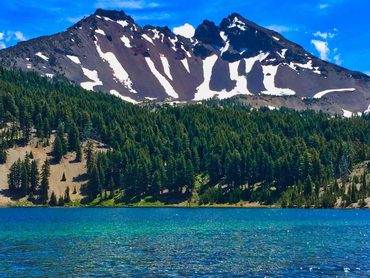
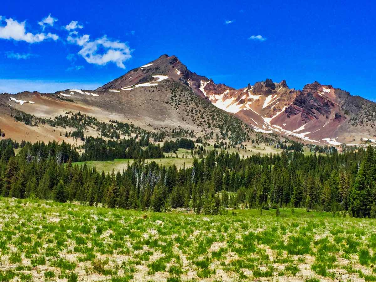
Green Lakes is one of the most spectacular areas within the Three Sisters Wilderness. Nestled in a basin right between South Sister and Broken Top, the views from this magical spot can seem surreal. Unfortunately, it is also one of the most popular and heavily used areas within the wilderness area. Don’t expect to find solitude on this hike, just count yourself lucky if you can find a place to park. Also, the Forest Service is looking at making this a limited entry area soon, so don’t be surprised if you need to secure a permit to access this area in the near future.
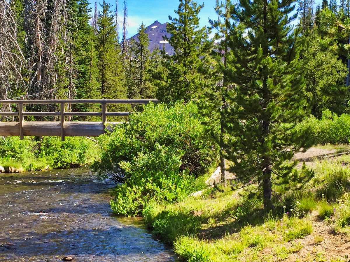
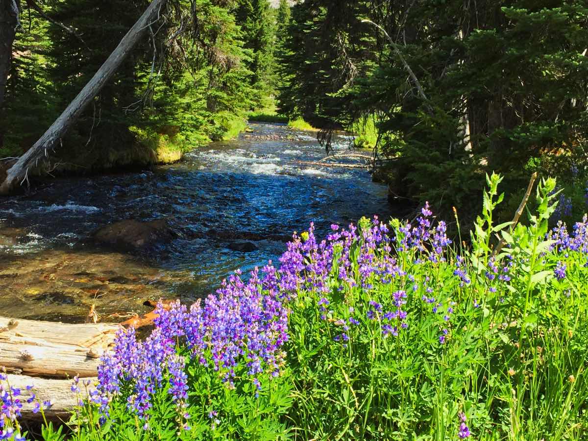
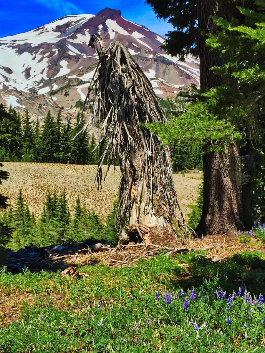
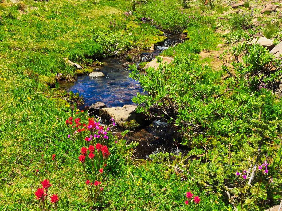
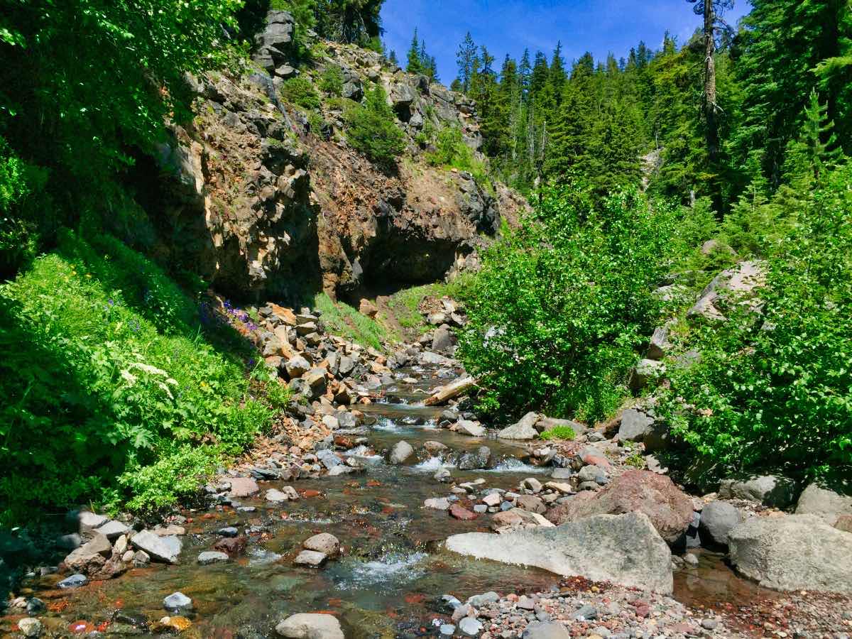
The hike begins at the Green Lakes Trailhead, located off of the Cascades Lake Highway and across the road from Sparks Lake. Begin your hike by heading out of the north end of the parking area up the Fall Creek Trail. The trail crosses a bridge and then heads up the creek. You will quickly learn that the creek is well-named as you pass numerous small waterfalls along your trek. In addition, at the right time of year, wildflowers will cover the meadows and stream banks.
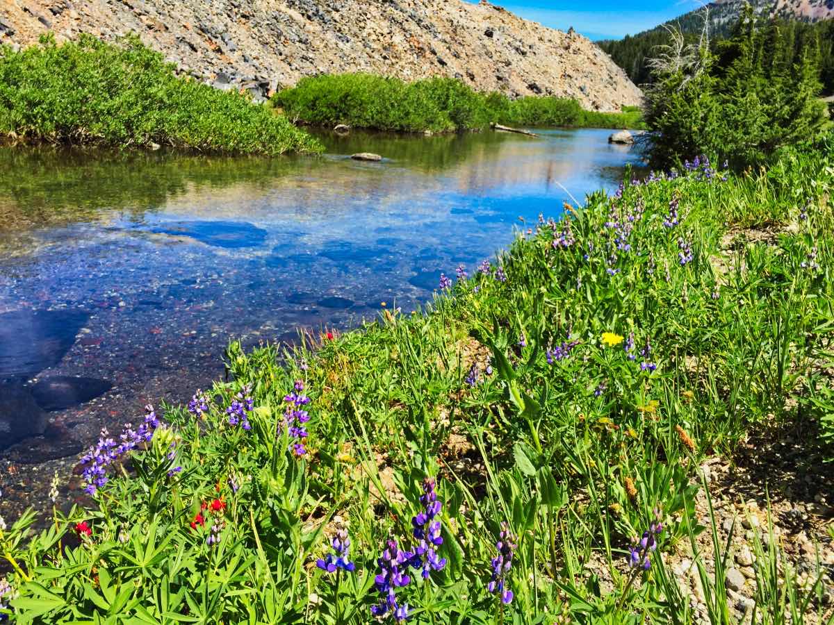
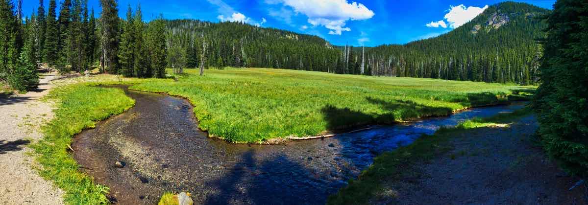
After about 2 miles of hiking through the dense forest and climbing steadily, the trail will begin to kind of break out into more meadows and ease a little bit. But only for a little bit. Soon, you will find yourself walking up a valley with a lava flow pinching the creek at the far side. The trail climbs fairly steeply, gaining about 350 feet in ¾ of a mile until you pop up out of the forest as you near Green Lakes. Be sure to pause and take note of the creek here as it flows through the grassy plains. The water is so clear, the shadows of the ripples on the water’s surface dance on the sandy bottom and can be mesmerizing to just sit and watch.
You will first enter Green Lakes basin after about 4.1 miles of hiking and 1,100 feet of climbing. The mountains will open up before you. Be sure to keep heading north for another ¼ mile or so though to get the best views. You will find yourself on a little point, sticking out into the lake. From here, you can look out over the lake in three directions, putting the sparking blue water between you and both South Sister and Broken Top. If you plan on camping here, you must do it in a designated camping spot, and there aren’t too many of them. So good luck.
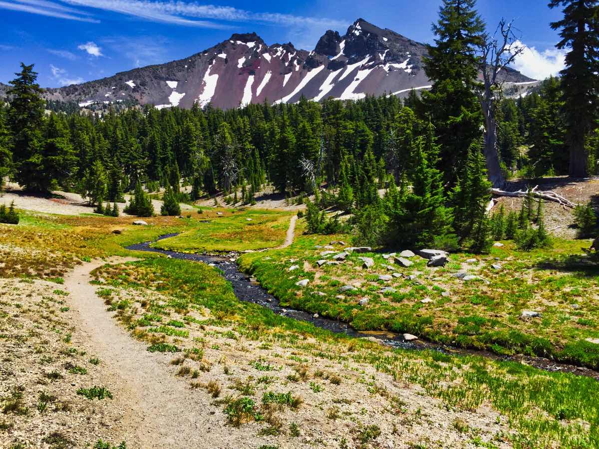
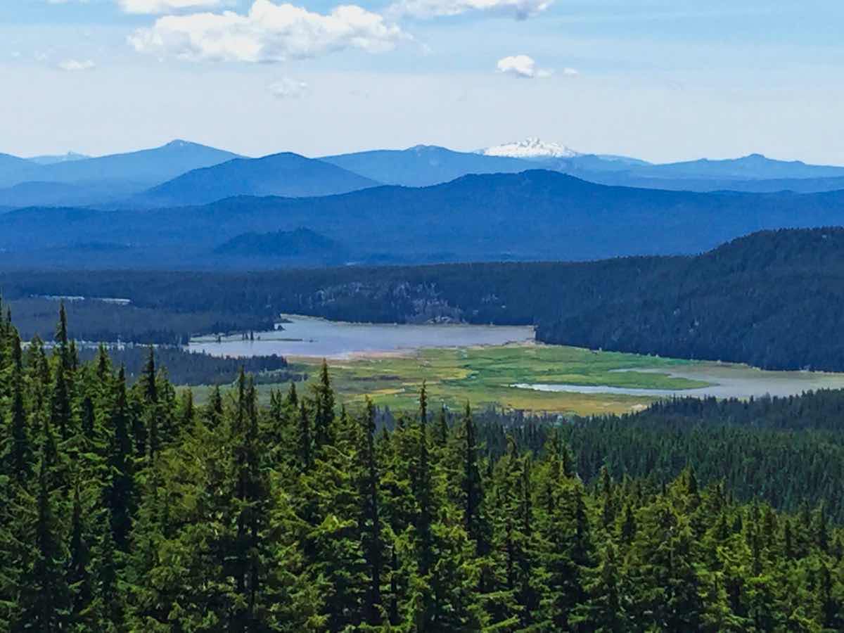
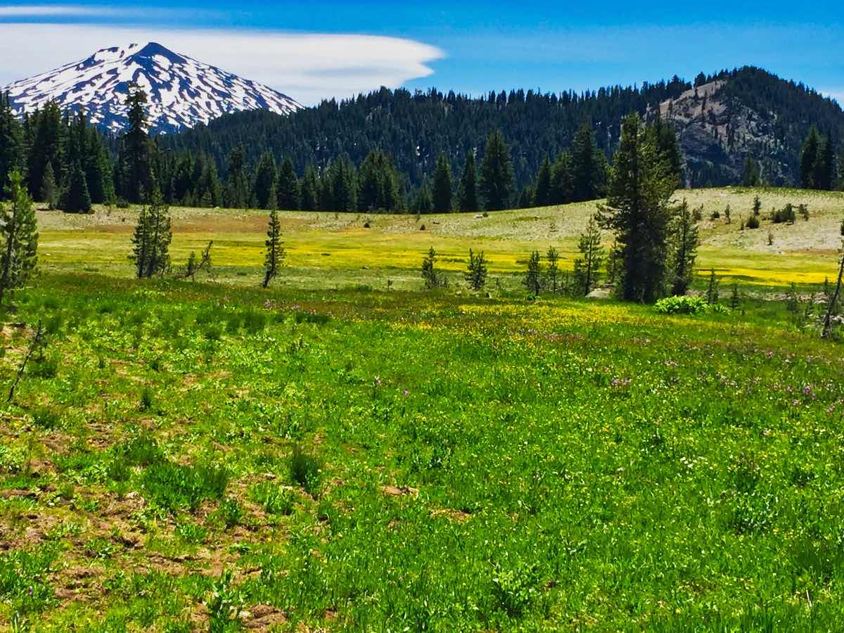
To continue your hike, head back to the first, small lake you encountered upon entering the basin. From here, you will follow the Broken Top Trail towards the left as it works its way around the southwestern flank of the mountain. You will still have about 300 feet of climbing to go, but it is very gradual over the next mile and a half. The trail passes between thick stands of timber and open, grassy meadows. Many of the meadows have cute little streams flowing through them and offer views of both Broken Top to the north and Mt Bachelor and even Diamond Peak to the south.
At about the 7 mile point of the hike, you will skirt around the base of Cayuse Crater, a cinder cone on the southern end of Broken Top. Continue around for another ¾ mile until you reach another junction. Here take the Soda Creek fork to the right and begin heading back down, out of the alpine plains. The trails passes through flower filled meadows and stringers of timber for the next mile or so until you reach another trail junction. Stay to the right again and remain on the Soda Creek Trail. Very quickly, you will find yourself diving down another canyon as Crater and Soda Creeks carve their way through the volcanic deposits. At about 10.5 mile mark, you will have to cross Crater Creek. It is very shallow through and full of large rocks which make rock hopping over the stream relatively simple. Continue on for another ½ mile to a beautiful grassy meadow with Soda Creek meandering through it. Enjoy it, because the last 1.5 miles are a dusty slog through dead lodgepole pine.
Directions
Take Century Drive out of Bend toward Mt Bachelor Ski Area for 24 miles, or 4.4 miles past the West Village turn off to Mt Bachelor. The trailhead will be on your right.
Things to Know
Passes: A Central Cascades Wilderness Permit is required to access this area between June 15th and October 15th. The permits will be available from recreation.gov and will go on sale in early April. A Northwest Forest Pass is also required to park at this trailhead.
Dogs: Allowed and must be on leash from July 15 through September 15.
Usage: Heavy
Open Season: The Cascades Lake Highway past Mt Bachelor usually opens around Memorial Day. Snow on the trail will generally persist into July.
Bugs: Mosquitos can be bad during the melt season, usually June-July, then will mostly clear up moving into August.
Flowers: Different flowers will bloom depending on elevation, but July and early August are usually peak months.
Camping Restrictions: Camping is only allowed in the Green Lakes Management area within one of the 28 designated sites, seen here:. No fires are allowed, period.


