Ray Atkeson Memorial Trail
Distance: 2.5 miles.
Elevation Gain: 100 feet.
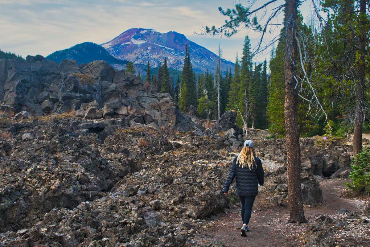
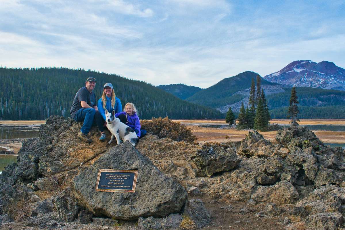
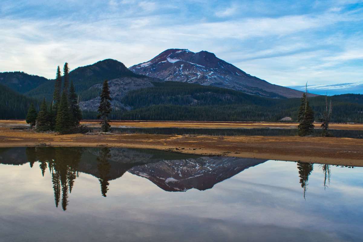
The Ray Atkeson Memorial Trail will take you to one of the most well known and photographed spots in Oregon. This trail was dedicated to Ray Atkeson, a man who many claim introduced Oregon’s natural beauty to the nation. This trail will take you past one of his favorite spots, on the lava flows overlooking Sparks Lake, with South Sister in the distance. If you’ve ever seen a nationally published picture of South Sister, it was likely taken from this spot.
The trail begins at the Sparks Lake Day Use Area. That means that, even though the trail is not heavily used, you will get to fight with all the kayakers and SUPers that flock to this beautiful lake in the summer for a parking spot. Once you do park, find your way towards the bathrooms. The trail heads to the right from the toilets.
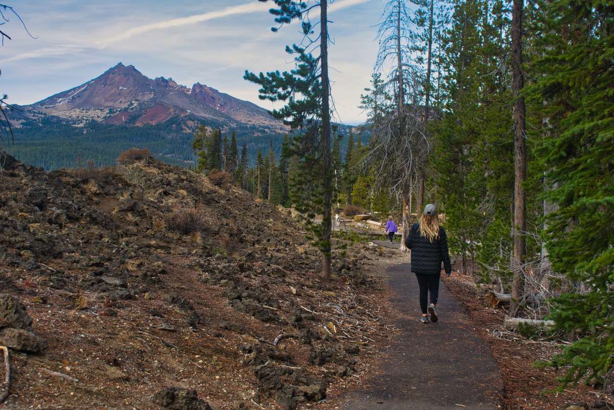
You will quickly come to a nice interpretive display discussing the hydrology, geology, and culture significance of Sparks Lake, and remembering Ray Atkeson. Continue down the paved path for about 300 feet until you reach a junction. Continue to the left on the dirt trail. Don’t worry, you will hit the viewpoint on the way back.
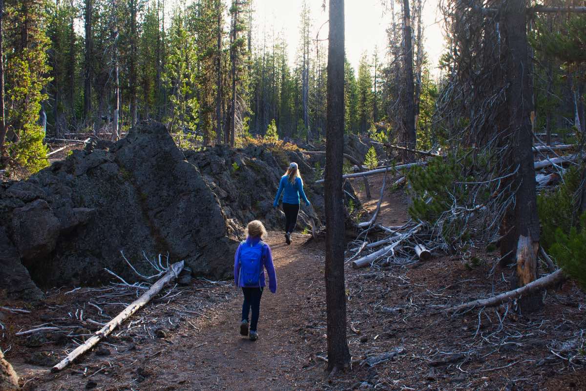
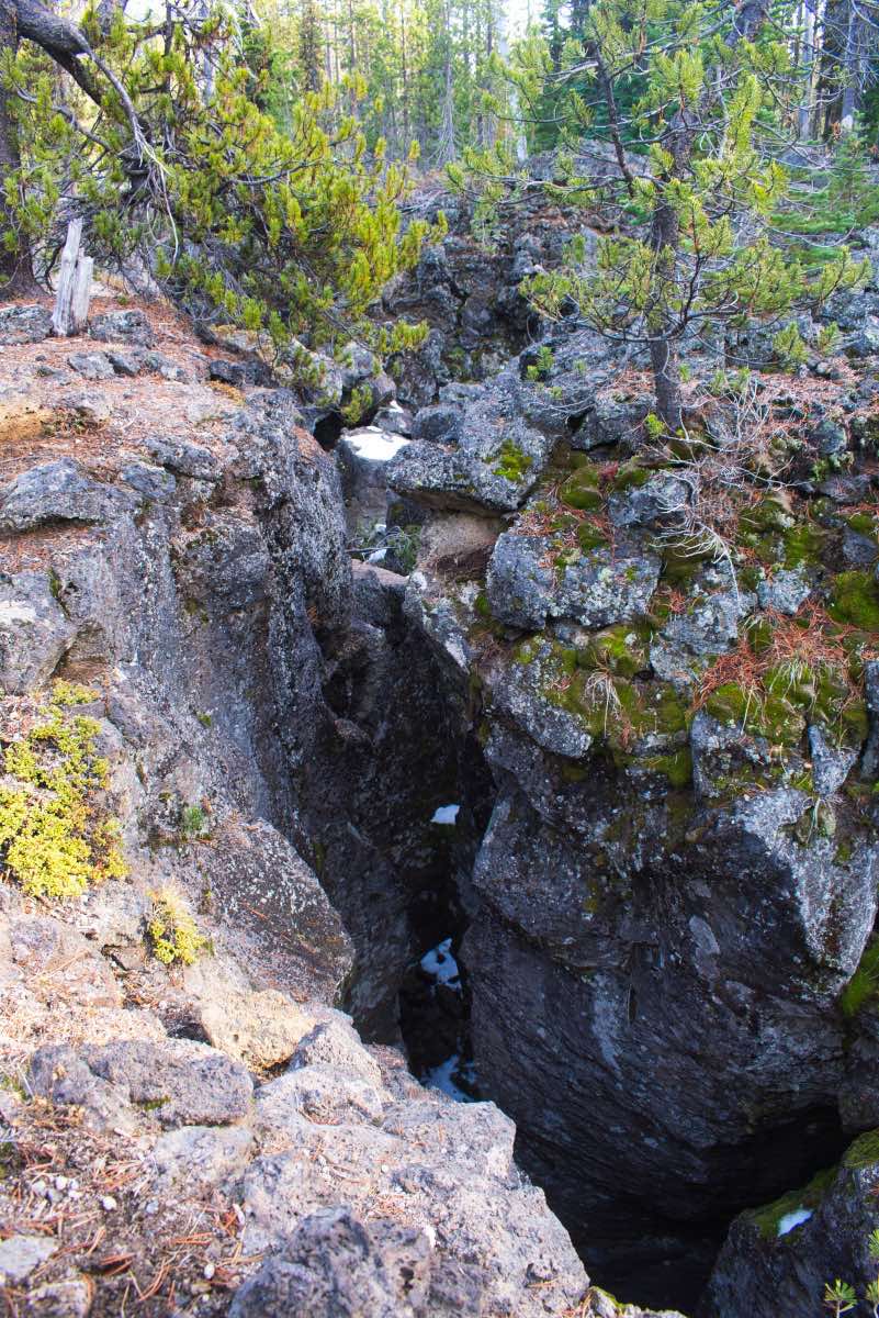
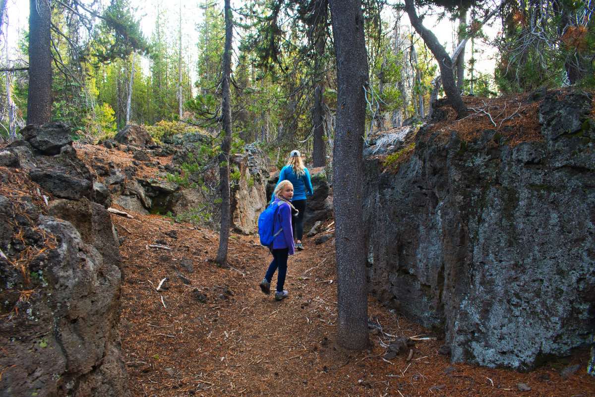
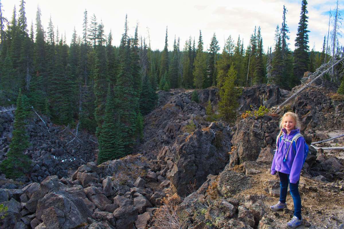
The trail quickly enters a maze of rock and lodgepole. Lava flows have created a lot of interesting formations, and you will also find yourself staring down into narrow little canyons that are right off the trail. This is a great place or kids to explore!
In a little more than half a mile, you will come to a trail marked shortcut. If you would like to, you can take this junction and be able to return to your car in about ¾ of a mile. If you are up for more adventure, carry on!
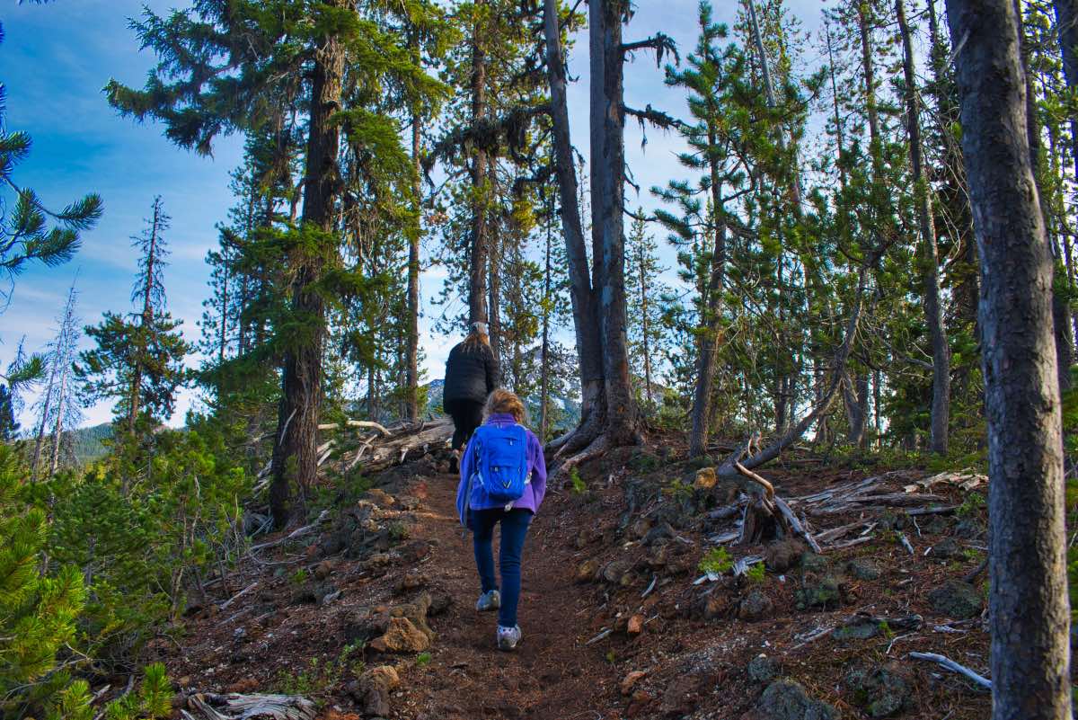
The trail continues to travel over some lava ridges and through the lodgepole forest. Some peak-a-boo views of Mt Bachelor can be found through the trees near the tops of some of the ridges. Other than that, nothing much happens for the next ¾ of a mile. Then, you will find yourself, once again, amidst some weird lava flows, with a canyon of jumbled lava boulders just below you.
Continue along the canyon edge and back into the forest. You will reach the other end of the shortcut trail in 0.3 miles. Right after this intersection, you are left with another option. If you choose to except it, you can take the Davis Canyon Loop and travel along the bottom of one of those lava fissures for about a tenth of a mile. This fissure is about 15 feet deep and can get as narrow as 2 feet. If you don’t like narrow spaces, stay to the left and the first bays of Sparks Lake will pop into view.
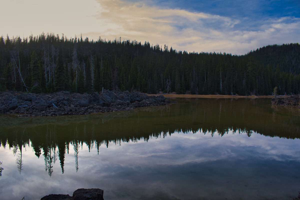
Sparks Lake was formed about 10,000 years ago when lava from Mt Bachelor blocked the upper Deschutes River. While Goose Creek, Fall Creek, and Soda Creek all deliver large amounts of snowmelt into Sparks Lake from high in the mountains, the lake has no visible outlet. All of the water seeps through underground cracks and crevices in the lava, likely linking it to other lakes like Elk and Hosmer. The lake drains so fast that the water level fluctuates drastically by the season. In the early summer, the lake will be brimming with water, but by the time fall roles around, a lot of the shallower areas have dried up.
Once the Davis Canyon Loop and main trail rejoin, the trail heads along the rocky shores of Sparks Lake for the next 0.4 miles before transitioning to pavement. Follow the pavement towards a nice wooden bench to reach the Ray’s favorite spot. Try your hand at some earth-shattering photography, and then follow the paved trail 0.4 miles back to the trailhead.
Directions
To reach the Ray Atkeson trailhead, head west on Century Drive from Bend for 25 miles. You will make a left onto the 400 road right before entering the meadows around Sparks Lake. Take this dirt road for 1.6 miles to the trailhead, which will be on the left side of the road. The road is suitable for most passenger cars, but there are some potholes and large washboards.
Things to Know
Passes: Northwest Forest Pass is required at this trailhead.
Dogs: Allowed and must be on leash or under voice command at all times.
Usage: Heavy
Open Season: The Cascades Lake Highway past Mt Bachelor usually opens around Memorial Day. Expect to find some snow here and there well into June.
Bugs: Mosquitos can be bad during the melt season, usually June-July, then will mostly clear up moving into August.
Hazards: If you decide to go exploring in the meadows around the lake, watch your step. There are lots of narrow, deep channels, known as "beaver highway" in the grass that are difficult to see. The water is cold, they can be hard to get out of, and you could nail something on the way down.


