Larry Chitwood Trail
Distance: 7.2 mile
Elevation Gain: 150 feet.
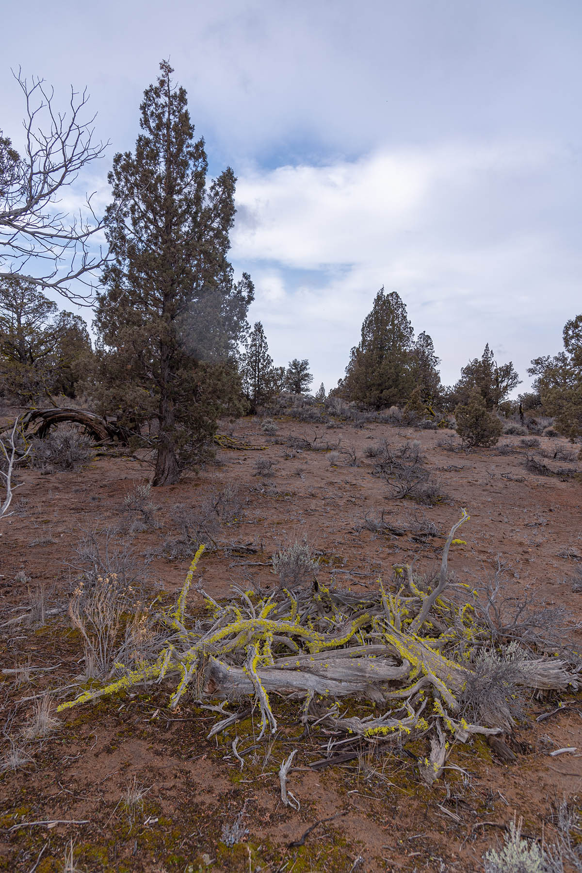
My mom always told me if you can’t say something nice, don’t say anything at all. That’s hard to do when you are supposed to be giving you, the kind reader, information about a certain trail. And that certain trail may or may not be the Larry Chitwood Trail in the Oregon Badlands Wilderness. There’s not really anything bad about the trail. You won’t have to wade through miles of unmaintained brush. There aren’t washed out sections about dizzying cliffs. The problem is is that there is really nothing. Unless you are a die-hard high desert aficionado and love checking out cool, old juniper trees, it’s hard to keep your interest while slogging through the 7 miles of sand that is the Larry Chitwood Trail.
The hike begins from the Larry Chitwood Trailhead, in the northwestern corner of the wilderness and just outside of Bend. The trail was originally named the Obernolte Trail but was renamed after a forest service geologist who died hiking Pilot Butte in 2008. The trail begins by heading down a little stub towards the main loop. You will encounter a large can dump, now an archeological site, soon after the trailhead. A quarter mile into the hike, you will reach the T to begin the loop. I went right, towards the west loop, so you will too in this editorial journey.
The trail travels through some juniper, sagebrush, and sand for about half a mile until you start the reach a grassy area and a small irrigation ditch. This ditch used to feed Red Pond, a pond that has since become abandoned and is dry. You will walk along the irrigation road for just a few hundred feet until you see a trail branching off to your left and the back end of a sign. The sign informs you that the trailhead is back the way you came. Head down that trail to continue your journey.
Almost immediately after leaving the irrigation ditch, you will reach the junction with the central loop. If you would like to shorten the hike up a little, you can utilize this cutoff. If not, keep heading straight around the west loop through some juniper, sand, and sagebrush.
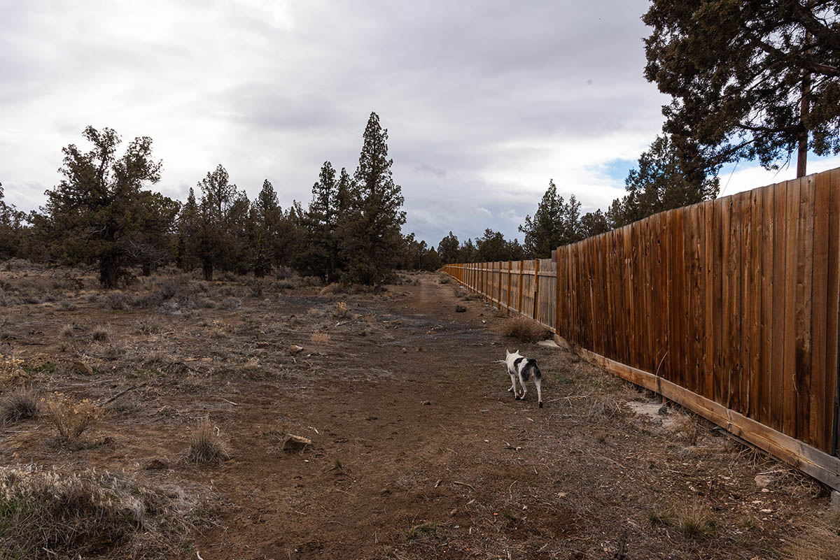
The trail will continue on through more juniper, sand, and sagebrush for another couple of miles. Then your wilderness experience will be interrupted as you hike right along a new housing developments backyard. The trail hugs their back fence. You will get splinters if you stick your hand out. It’s kind of weird.
You will follow the fence line for about half a mile before veering away. Finally. Then you will walk through the juniper, sagebrush, and sand for a little more than half a mile before reaching the southern end of the Central Loop. Make a right to continue along towards the eastern half of the Larry Chitwood Trail.
Once on the eastern half of the loop, you will hike through about 2 more miles of juniper, sagebrush, and sand before encountering the bottom end of the Sand Lily trail. Stick to the left and proceed for another ¾ of a mile until you hit the Mazama Ash Trail. The left to stay on the Larry Chitwood Trail and you will be back at the beginning of loop in just a quarter mile.
Directions
From the intersection of 27th St and Highway 20 in Bend, head east on Highway 20 for 6.6 miles. Then, make a left onto Dodds Road and follow it for 3.3 more miles. Make a right onto Obernorte Road and follow this well packed, dirt road for half a mile. As the road starts to make a sharp left turn, the trailhead will be on the right.
Things to Know
Passes: No passes are requried.
Dogs: Allowed and must be on least or under voice command at all times.
Usage: Light
Open Season: Open and accessible all year. The trail can get hot and dusty in the summer and may be covered in snow at times in the winter.


