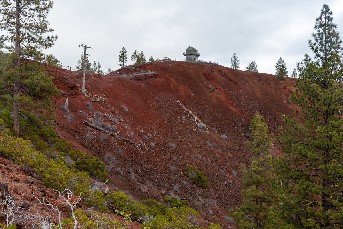
Lava Butte
Distance: 3.4 miles
Elevation Gain: 575 feet.
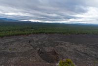
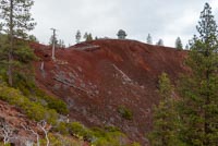
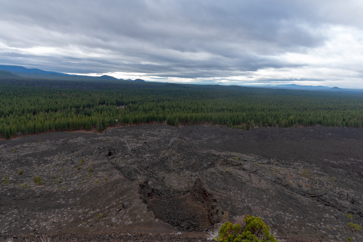
Lava Butte rises prominently along Highway 97 between Bend and Sunriver, as is the largest cinder cone of the Newberry Volcanic Complex. The Newberry Volcano is one of the largest volcanoes in North America, and Lava Butte rests on the far western flank of the mountain. Lava flows from this giant shield volcano covers nearly 1,200 square miles and data back as far as 400,000 years to as recent as 1,300 years. This lava flow that poured out of the south flank of Lava Butte about 7,000 years ago also damned up the Deschutes River is a few spots, helping to create many of the dynamic waterfalls on river above Bend.
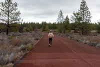
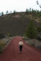
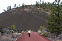
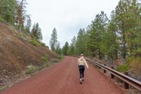
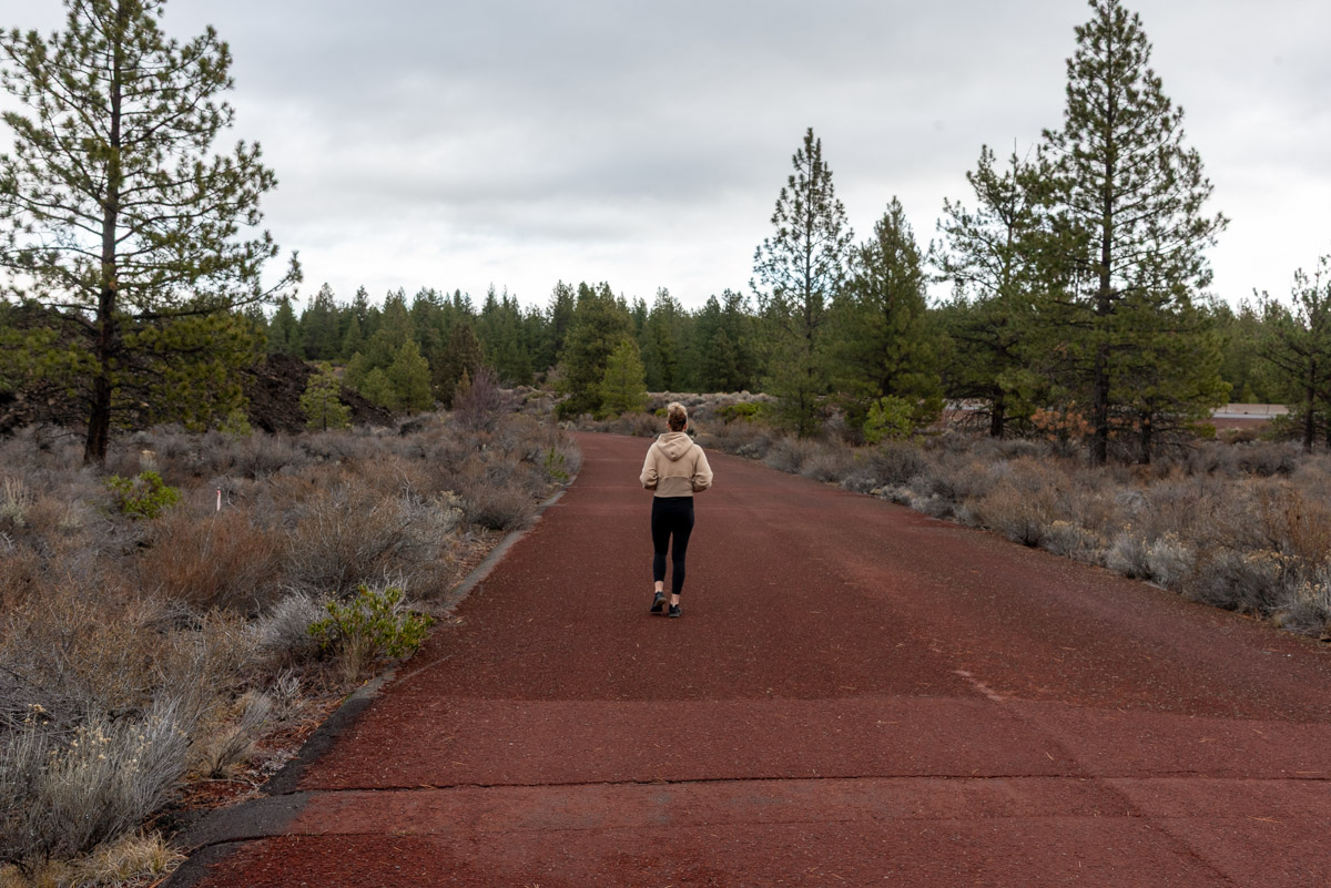
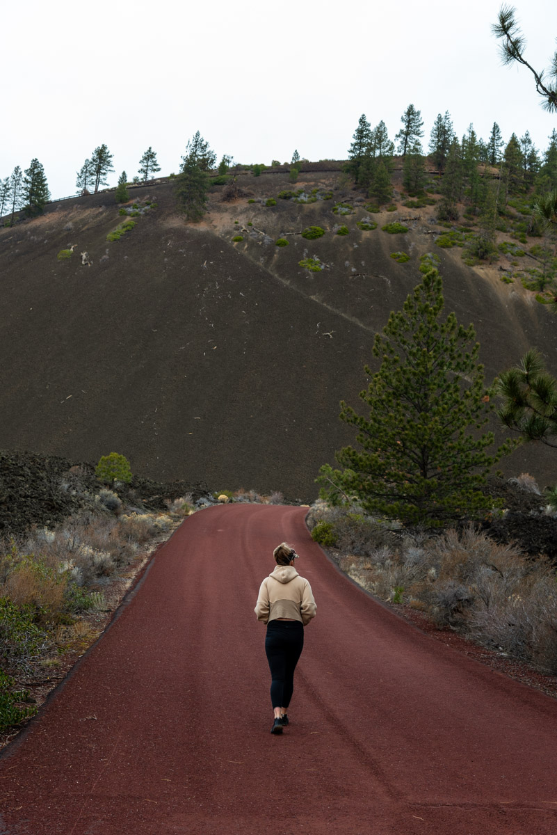
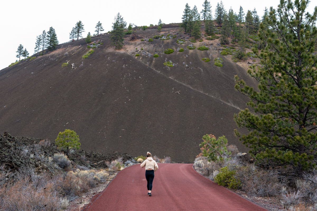
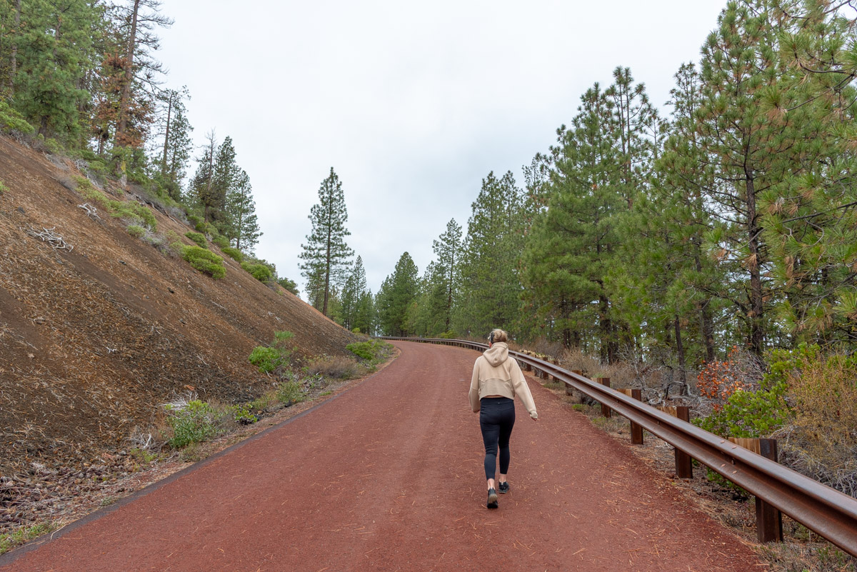
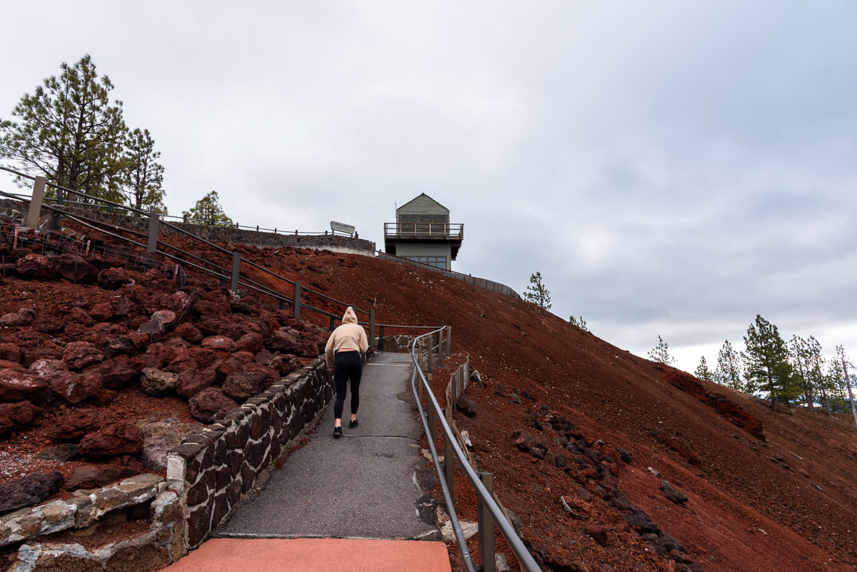
There isn’t actually a “trail” up Lava Butte, but the road to the summit is open to hikers and bikers year round. You only have to worry about cars between mid-April to Memorial Day and Labor Day to mid-October. During the summer months, a shuttle bus will ferry visitors up to the summit and in the winter, you will have the road all to yourself.
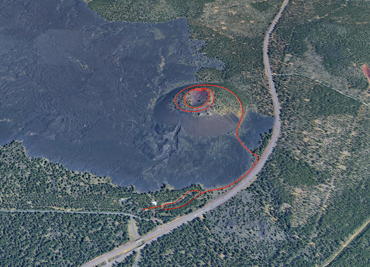
Begin your climb form the parking area at Lava Land Visitor Center. Head to the right of the visitor center and park in the parking area near the base of Lava Butte. Head through a pedestrian gate that blocks off the road and start your march.
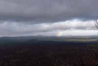
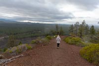
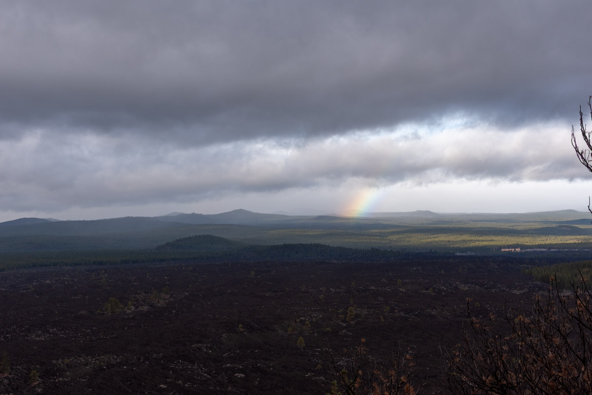
Because this is a road, it is never too steep. The first half mile is actually fairly flat as it parallels Highway 97. But soon you will turn and head towards the butte and then follow the road as it winds all the way around it. The views over the lava and towards the Cascades are beautiful.
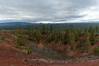
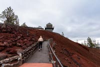
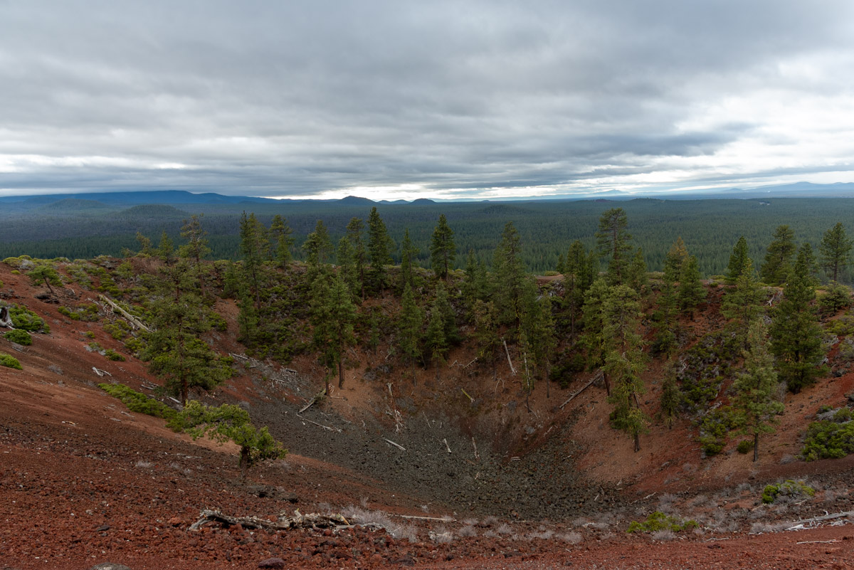
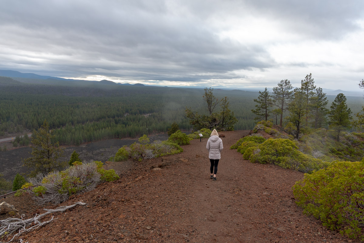
You will reach the summit in about a mile and a half and there is a small parking area. Head to the left and check out a replica of the 1931 fire lookout that sits on the summit. From there, there is an actual trail that circles the summit crater of Lava Butte. While short, this trail offers some unique views and geology and is defiantly worth the time. Once around, just head back down the road towards the parking lot.
Directions
To reach Lava Butte, head south of Bend on Highway 97 for 11 miles and take the exit for Lava Lands. If you are coming from the south, take the Cottonwood Rd exit 1.5 miles north of Sunriver. Follow Cottonwood Road for 2 miles and then head left onto Crawford Road towards Lava Lands. When you see Lava Butte rising above the highway you will know you are close, but the signs directing you to Lava Lands will be the biggest help.
Things to Know
Passes:A Northwest Forest Pass is required at the parking area of the visitor center.
Dogs: Allowed but must be kept on leash.
Usage: Moderate
Open Season: The trail is open year-round but can get snowy or icy in the winter. There will be no vehicles on the Road between mid-October until mid-April. Shuttles will take people to the top from Memorial Day to Labor Day. Between these periods, watch for vehicles.