McDowell Creek Falls Loop
Distance: 1.6 miles.
Elevation Gain: 400 feet.
McDowell Creek Falls County Park is a beautiful hideaway of numerous, impressive falls tucked into a gorgeous setting. You will find two large waterfalls, a couple more, smaller ones, and even a swimming hole if it is a nice, summer day. The impressive staircase and walkway found at Majestic Falls will make for some memorable posts to your Instagram profile too (You know you’re to).
There are a couple of different parking areas within the park from which you can begin your hike. The best option though, is the lower parking area near Royal Terrace Falls. That’s because going uphill at the beginning is better than at the end. And my opinion is the only one that matters. So if you would prefer to go downhill first, then by all means, head up to the upper parking lot near Majestic Falls, but know that you are wrong and will always be wrong.
As you head out of the parking area, (I’m speaking of the lower parking area here because that is the right on to start with) you quickly head over a bridge that spans McDowell Creek. If you look downstream, you can see the top lip of Lower McDowell Creek Falls. There are some side trails from the parking area that will take you down to its base if you want. It is a pretty small waterfall, dropping about 20 feet in some broken tiers. But for now, head on over the bridge and continue your journey upstream.
You will reach a trail junction in a less than a quarter mile, and you can probably hear Royal Terrace Falls from this point, beckoning you to the left. Fight the urge and save the best for last and instead, eye that amazing super steep rock staircase in front of you. You know you want to climb it. Who doesn’t want to climb 75 feet of stairs or so.
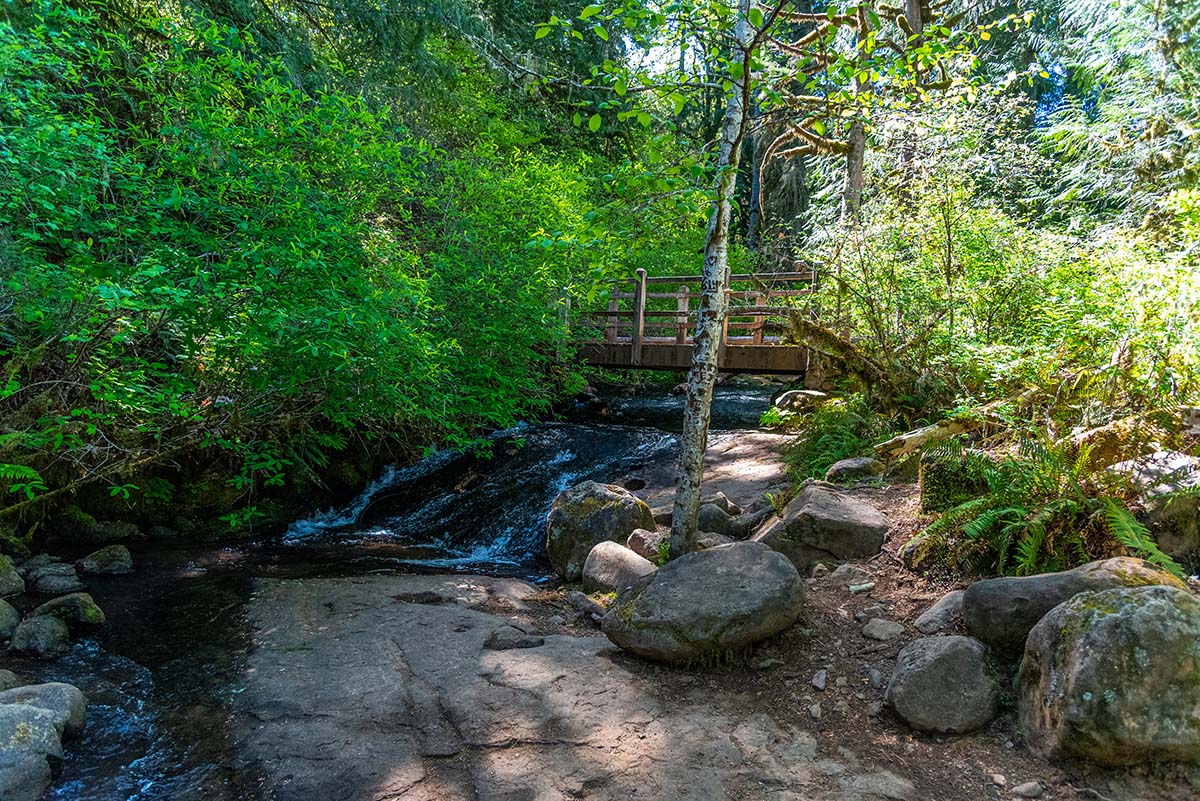
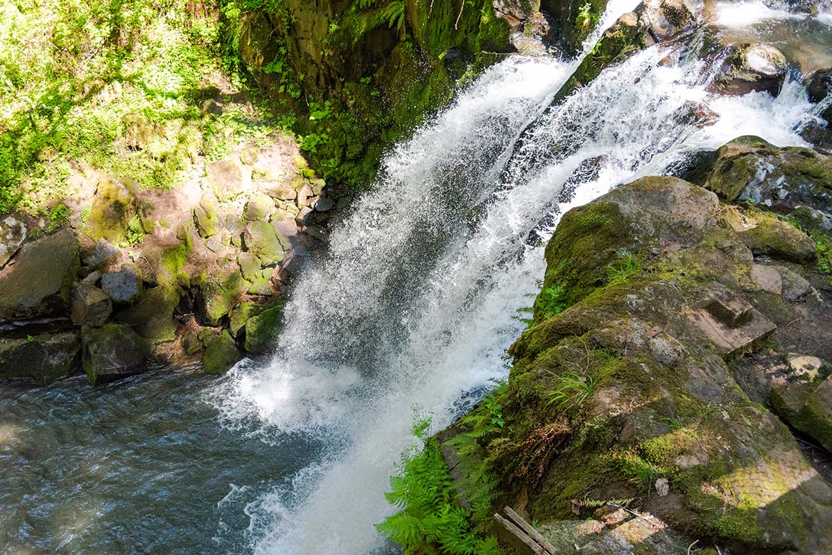
When you reach the top of Royal Terrace Falls, there will be a small viewing platform that will allow you to look down over the falls. There isn’t a lot to see from there, but it is still cool. Continue along the trail and cross over a small bridge over Fall Creek where it is just shooting down a plane of rock. The trail will continue to climb for a little bit, gaining a total of 250 feet in elevation in less than a half mile from the parking lot, but then you will find yourself above the canyon.
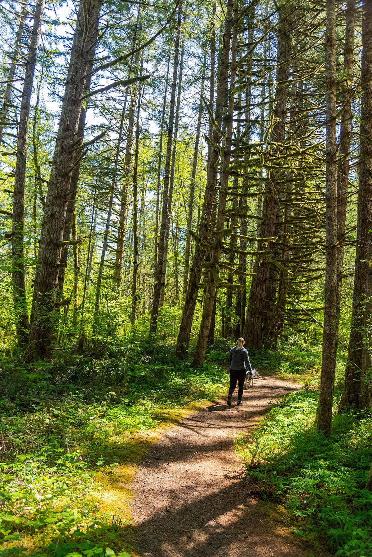
The trail wonders through the woods for a little while here and there are a few side trails here and there without much signage. Head to the right at one major looking side trail and continue across the road while staying up on the canyon rim. You will continue through the forest for another quarter mile from here until you reach the upper parking area for Majestic Falls.
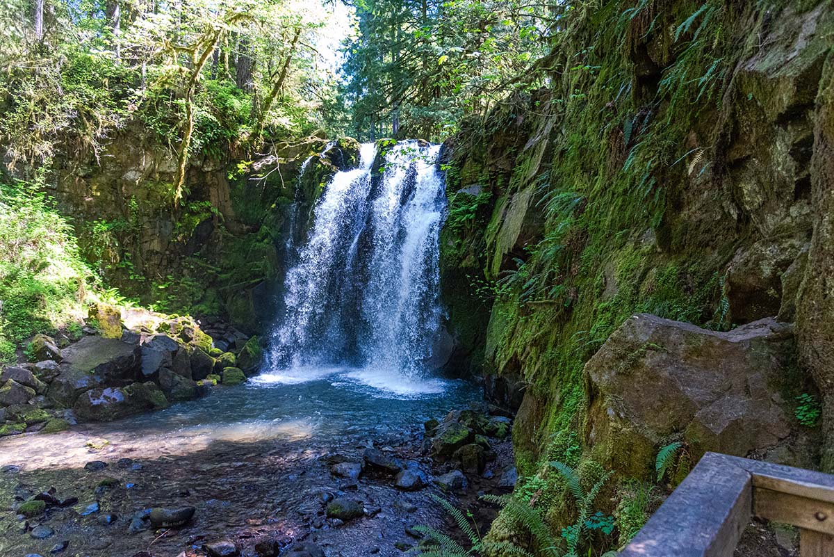
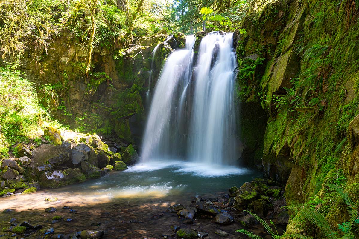
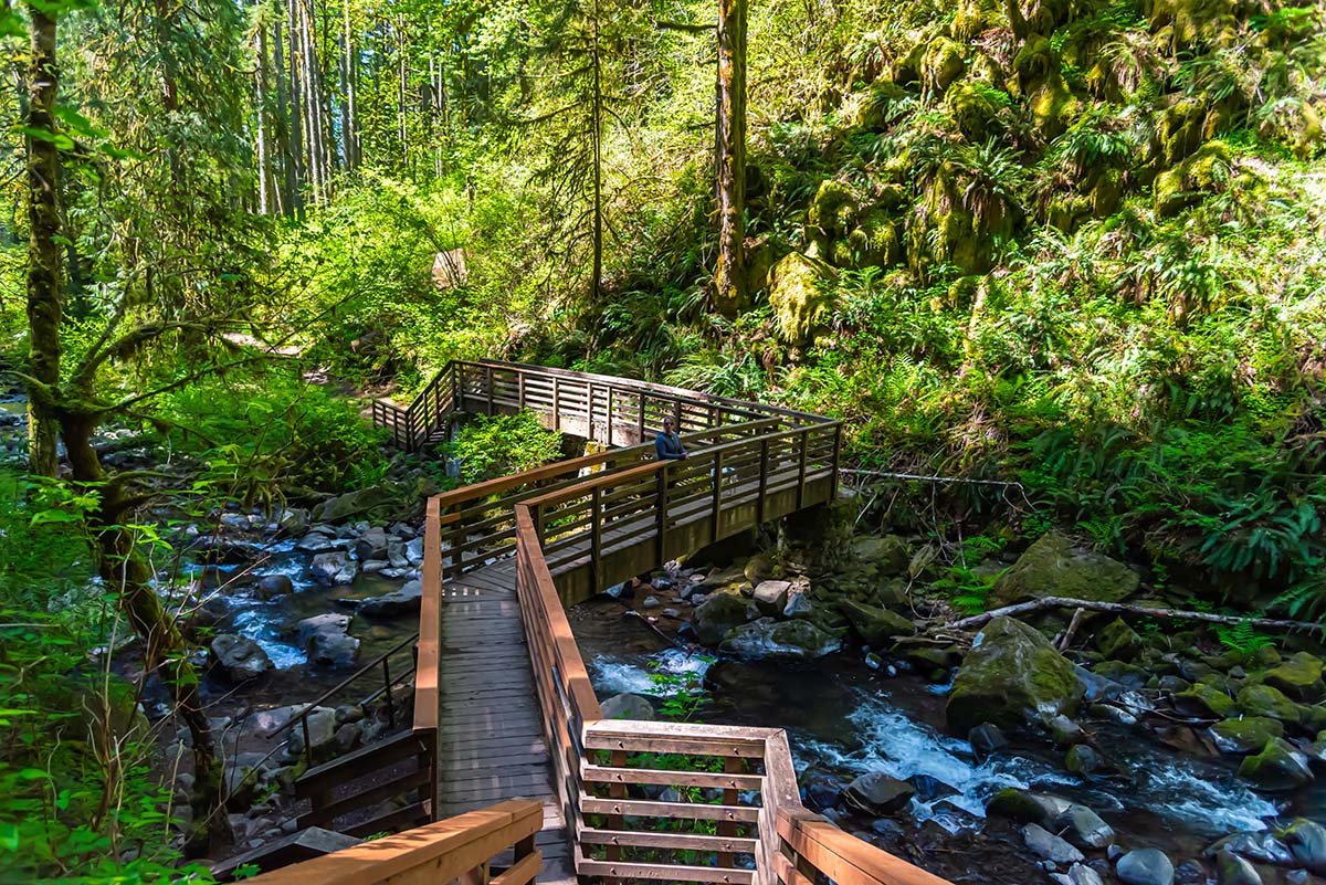
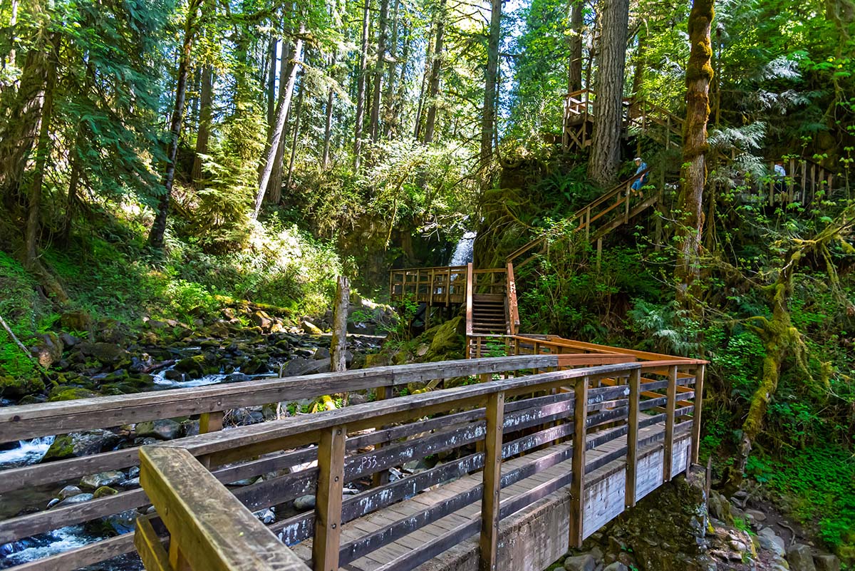
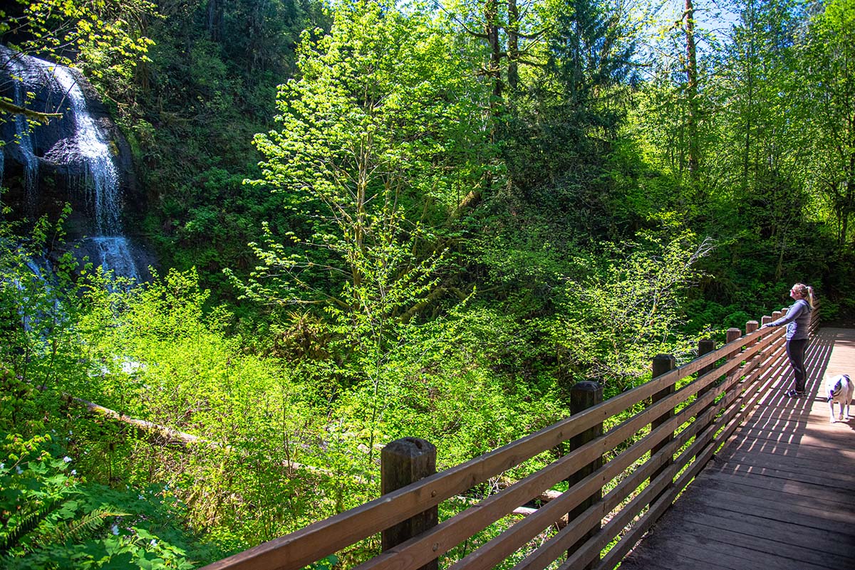
Head across the parking lot and to another flight of stone stairs, but this time you get to go down. You will find another viewing platform, this time looking down Majestic Falls. Continue downstream and you will reach a really cool wooden staircase and walkway. The stairs take you down for an impressive view of 40-foot Majestic Falls, looking right at it. The walkway then continues across the creek and dumps you back onto just another plain ol’ dirt trail. Do take caution if it is wet out though, cause those stairs can get slippery.
Just a short distance down the trail from the walkway, watch for a small side trail heading down to the creek. This will take you to 15-foot-tall Crystal Falls and Crystal Pool at its base. This pool can be a popular swimming hole in the summer. After diving in and cooling off, if you are into that kind of thing, continue following the trail downstream as it wades through the thick, forest canopy. You will have to cross back over the road once more, and continue along the stream for just a short distance further.
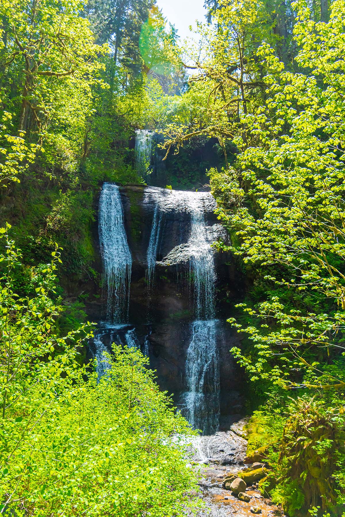
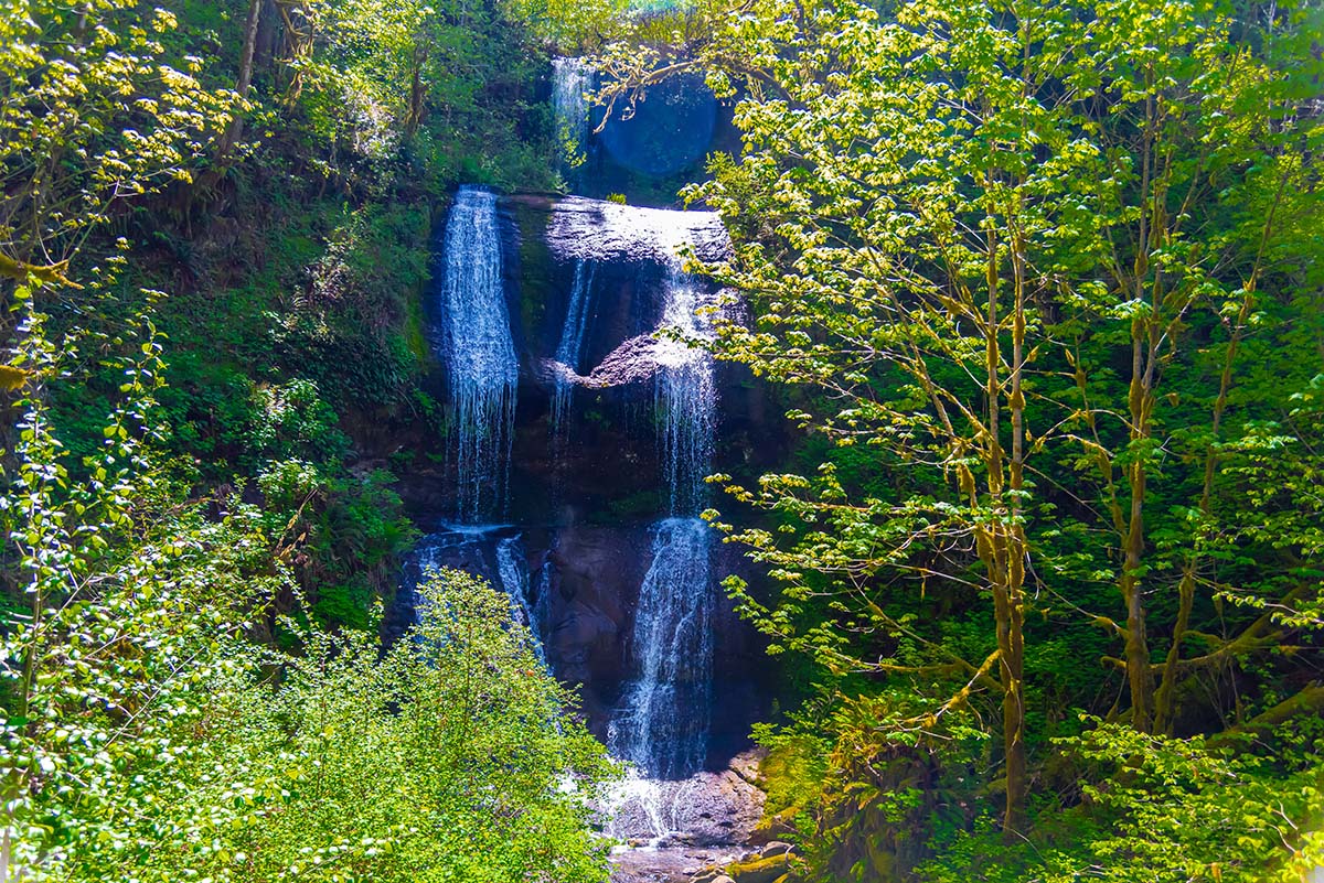
About a quarter mile after crossing the road, you will cross over McDowell Creek on another pretty bridge. Then it is only a few hundred feet to the highlight of the hike, Royal Terrace Falls. You will come to a bridge crossing over Fall Creek and pass right in front of the beauty of a waterfall. (Image me saying that with an Australian Accent. Just call me the Waterfall Hunter). This falls drops a total 119 feet in three different tiers. Once you’ve had enough, cross the bridge and it is just a short hop, jump, and skip back to the parking lot.
Directions
If you are coming from the west, get yourself on Highway 20 between Sweet Home and Lebanon. About 4 miles south of Lebanon, or 7 miles north of Sweet Home, head east onto Fairview Road. Continue down Fairview for about a mile before making a left onto McDowell Creek Drive. (There will be a sign directing you to the park here). Then just follow the road for 7 miles and the parking area will be on your right.
If you are coming from the East, make a right onto Quartzville Road right as you begin to reach Foster Reservoir, about a mile from Sweet Home. Head 1.1 miles on it until you cross over the backend of the lake and make a left onto River Drive. In less than half a mile, you will have to take another right onto Sunnyside Road. Stay on Sunnyside for 2.5 miles, then make a right onto McDowell Creek Road. You will know you are getting close when the road name matches your destination. Continue down the road and wind through the park past the upper parking area (Unless you are still insisting on being wrong), and the lower parking area will be 1.9 miles ahead on your left.
Things to Know
Passes: No passes are required
Dogs: Dogs are allowed and must be on leash.
Usage: Moderate, but can get fairly heavy on summer weekends
Open Season: All year. Falls can mostly dry up in the late summer and early fall.


