Mount Talbert Natural Area
Distance: 3.1 miles
Elevation Gain: 675 feet.
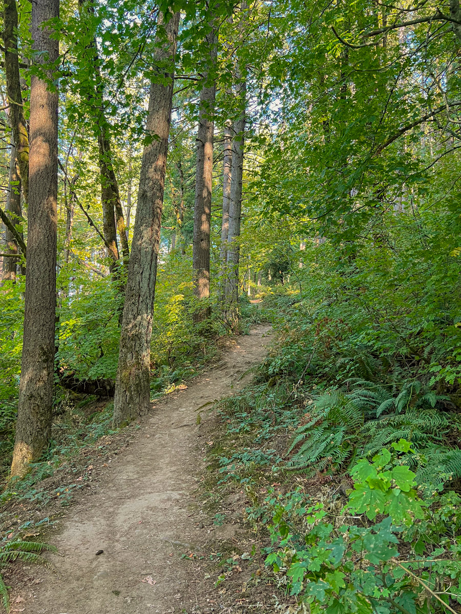
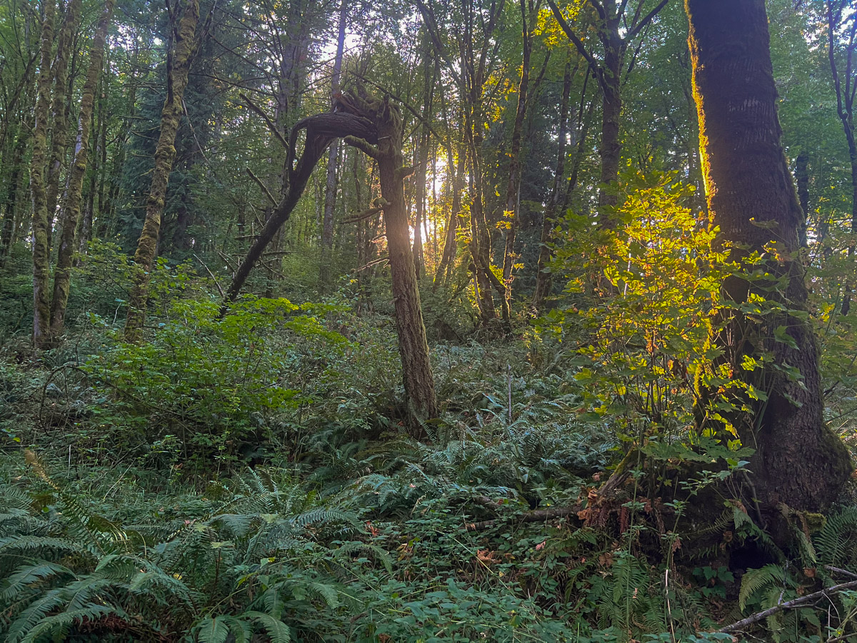
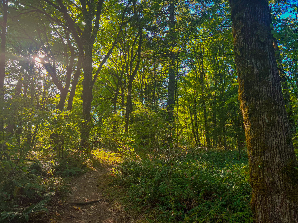
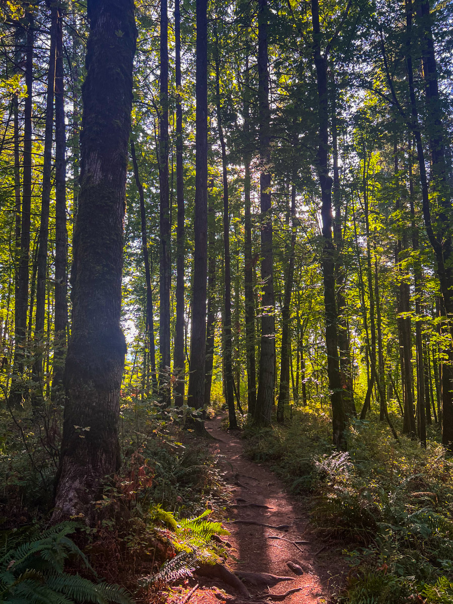
Mount Talbert is the largest of a string of extinct volcanoes and lava domes that make up the Boring Lava Field, a zone of ancient volcanic activity east of Portland. It is now the site of a nature park, offering an oasis of life in the heart of Clackamas. The mountain is completely wooded, but efforts are being made to restore the white oak canopy that once dominated prior to the area being taken over by Douglas-fir.
There are several trails that wind around Mount Talbert, and many different trailheads to access them from. This, here, is simply a recommendation to see the most of the park in one, continual go. Begin your hike from the Mather Road trailhead found, on you guessed it, Mather Road. The trail up the mountain heads out from the north end of the parking area, just to the left of the restrooms.
The trail begins to climb as it switchbacks up the mountain. After about a third of a mile and 150 feet of climbing, you will reach the junction with the Park Loop Trail. Make a left and follow this trail for 500 or so feet until you reach the junction with the West Ridge Trail. Since we like to get the majority of the climbing over as soon as possible when our legs are fresh, head right here and begin your march to the summit.
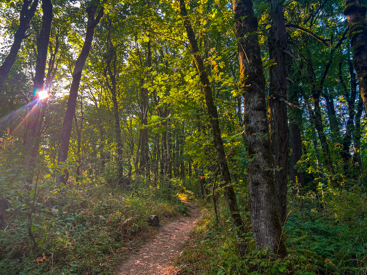
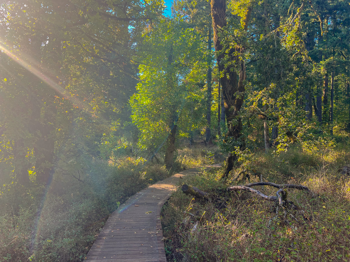
You will head over a cool boardwalk in an open oak savanna as you begin your jaunt along the West Ridge Trail. But in less than a quarter mile, look for the junction with the Summit Trail and follow that to the right. Keep climbing for another 150 vertical feet to reach the maple covered summit of Mount Talbert. Don’t expect any cool views though, cause you are still socked in the trees.
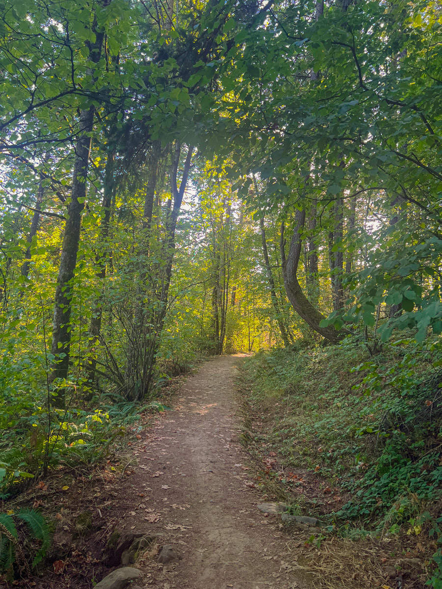
Continue down the summit trail until you reach the Park Loop Trail once more. Make a left onto that to complete a nice, undulating route around the north and west sides of the mountain. You will also pass through a cool grove of western red-cedar near the Cedar Park Trail Junction. Remain on the Park Loop Trail passing alternate trails and turnoffs to other trailheads, until you once again arrive at the Mather Road Trail. Then just follow it back to your car and a sweet Microbrew you have waiting in the kegerator you had installed in your trunk, you crazy hipster.
Directions
To reach the Mather Road trailhead into the Mount Talbert Natural Area, take I-205 to Clackamas and then take exit 14 toward Sunnyside Road. Head west on Sunnybrook Blvd for 500 feet and make the first right on 97th Ave. Follow 97th for 0.8 miles until it bears left and turns into Mather Rd. Continue on for 0.2 miles until you see the sign for the natural area on your left.
Things to Know
Passes:No passes are required
Dogs: Not allowed
Usage: Heavy
Open Season: The trail is open all year from dawn to dusk. Don't be surprised by extensive mud in the winter. Or be surprised, but it won't be my fault.


