Pilot Butte
Length: 1.9 miles
Elevation Gain: 475 feet.
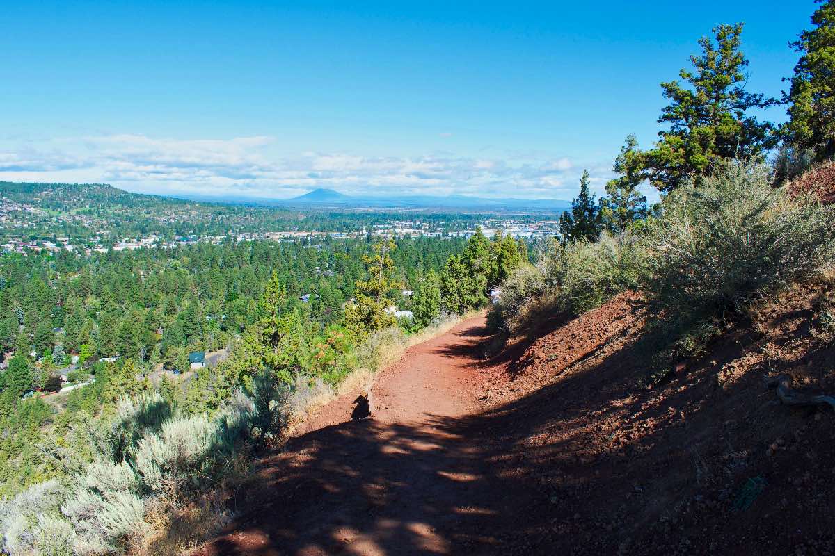
Pilot Butte is Bend’s very own volcano, located right in the middle of town. The buttte formed almost 200,000 years ago when a vent in the earth started spewing lava into the sky. The lava would then cool, because the sky isn’t as warm as a lava chamber under the earth’s crust, and fall back down over the vent, creating a pile of rock we like to call a cinder cone. You can now climb this 480 foot tall pile of lava to get some impressive views stretching over much of Central Oregon, from the Cascades to the west, Smith Rock to the north, and Paulina Peak to the south. Plus, the climb is a good workout for your glutes, so you can get that bubble butt you’ve always craved.
Begin your hike from the park on the east side of Pilot Butte. There are bathrooms here and a playground in case you need to bribe your kids with a little swing time after your forced march up the mountain. The trail leaves out of the south end of the parking area, towards the highway. You will see an informational kiosk on the sidewalk right as the trail begins.
The trail begins climbing pretty much right off the bat and quickly loops back to the north through a burned area that was set off by some fine young men playing with fireworks. After traveling just a little ways, you will encounter a junction, with the paved trail you are on heading to the left and a dirt path heading straight ahead. You will want to head straight, staying on the Nature Trail.
If you are hiking the Pilot Butte in the winter or before 10:00 AM, the paved trail can make a nice variation. It heads over to the road, and then you can hike the road the rest of the way up, followed by a trip down the Nature Trail. This will add about .2 miles to your hike. You can hike up the road at any time, but it isn’t as much fun with cars zooming by.
As you hike up the nature trail, there will be plenty of benches to stop and rest and soak in the view if you desire. The trail is a fairly constant uphill grade, with a few steep spots. The changing views as you completely circle Pilot Butte are a pretty cool feature of this climb.
Once you reach the top, there are a number of interpretive panels encircling the summit area for your reading enjoyment. There is also a mountain finder to help you identify all the peaks surrounding you. So enjoy the view, try to pick out your house or hotel, and get back down before it decides to erupt again.
Directions
To reach Pilot Butte State Scenic Viewpoint, head west on Highway 20 from 27th St. Take the very last road heading north before the highway begins to head around the butte, Arnett Way. There will be a large sign directing you to the trailhead. Drive a block and then head to the left and you will drive right into the parking area. If you are coming down Highway 20 from the west, there’s a median down the middle of the road so you won’t be able to turn down Arnett Way. You may as well give up and go home. Or go one more block to Azure Drive, make a left on Savannah Drive, and then another left onto Linnea Drive, but it’s your call.
Things to Know
Passes: No passes required.
Dogs: Allowed and must be on leash.
Usage: Heavy
Open Season: Trail is open all year, but can get icey or snow covered in the winter. Vehicles are not allowed on the summit drive before 10AM and in the winter.


