Deschutes River Trail - South Canyon Reach
Length: 3.1 miles
Elevation Gain: 140 feet.
The Deschutes River Trail is a part of the Bend Parks and Rec Urban trails. The ambitious plan is to eventually link a trail all the way from Tumalo State Park in the north to Meadow Camp Picnic Area, near the Inn of the 7th Mountain to the south, totalling a whopping 19 miles. The South Canyon section of the Deschutes River Trail is currently the furthest south reach, and makes for a nice loop in a wilderness type setting, right in the city limits.
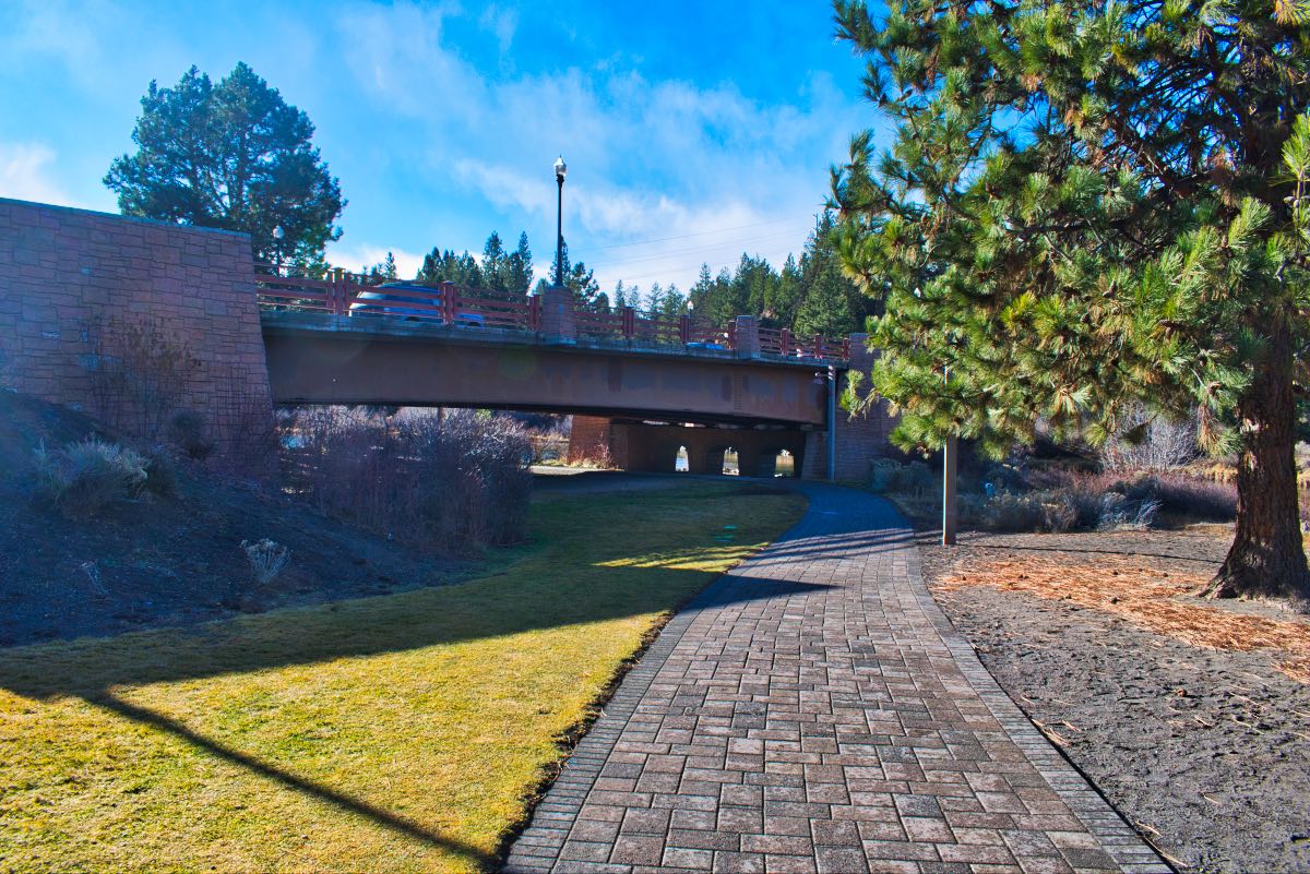
Begin you hike from the Farewell Bend Park, just east of the Bill Healy Bridge. This place can get pretty crowded in the summer with floaters and others enjoying the river, so you may have to get creative about where you begin your hike in the Old Mill Area. But once you make it to Farewell Bend Park, follow the paved path as it heads upstream and under the bridge.
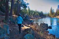
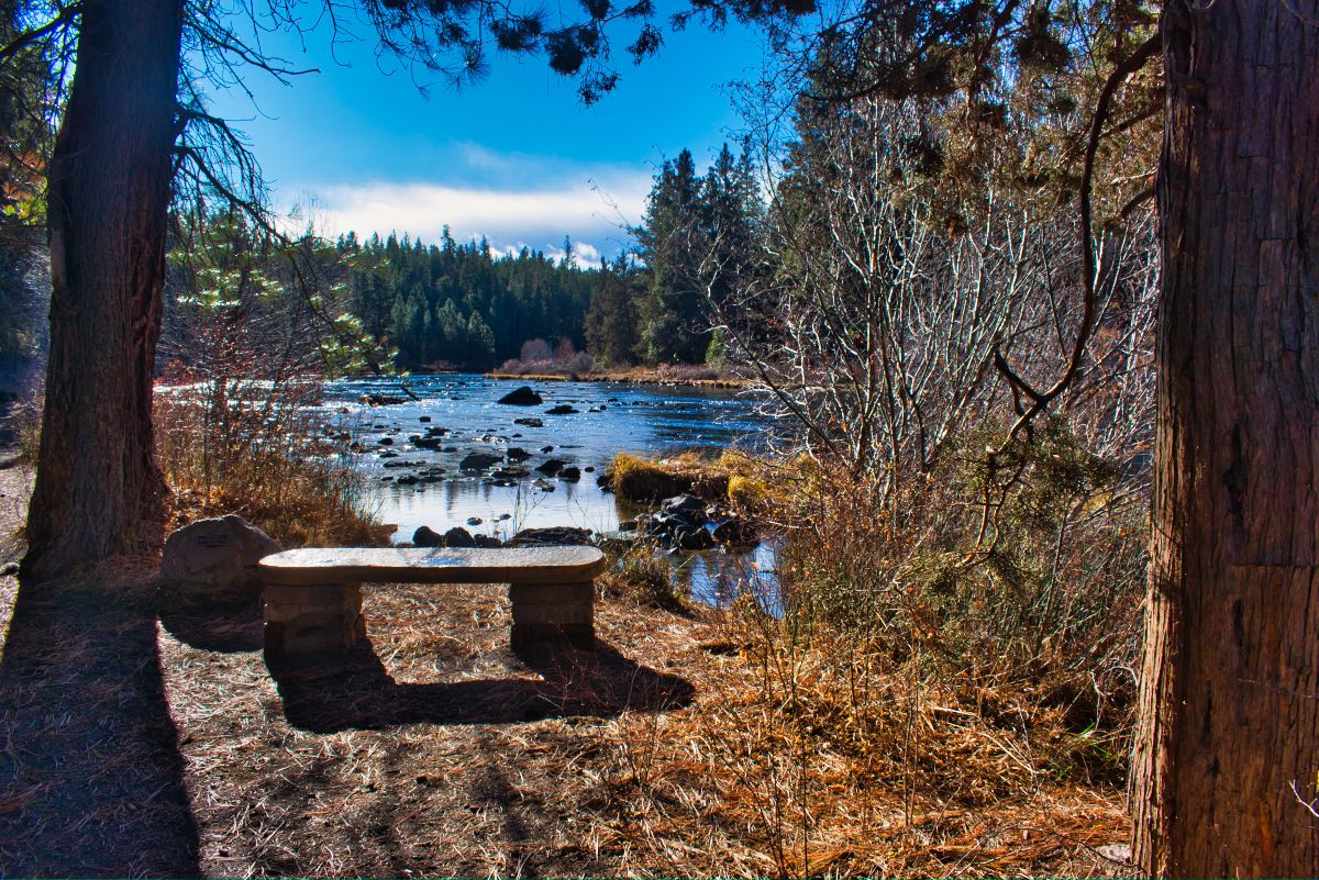
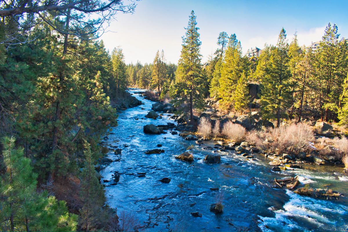
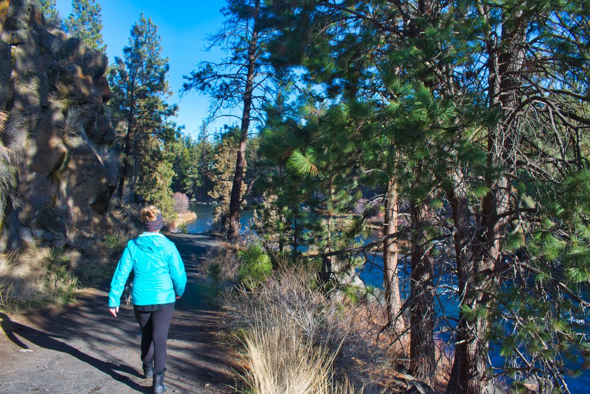
Once under the bridge, the trail turns to a native surface and starts heading up the canyon. There are a lot of nice, interpretive signs along the path, letting you know what different plants and trees are as well as explaining different ecological niches. Along this section of trail, there will also be several side trails that would take you up the canyon to nearby neighborhoods. At about ¾ of a mile into the hike, you will drop down to a little boardwalk that travels over a wet area, then crosses a bridge over a small hydroelectric plant. The plant is hidden underground and utilizes water from the nearby Central Oregon Irrigation District Canal to generate electricity.
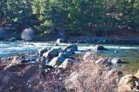
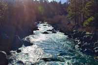
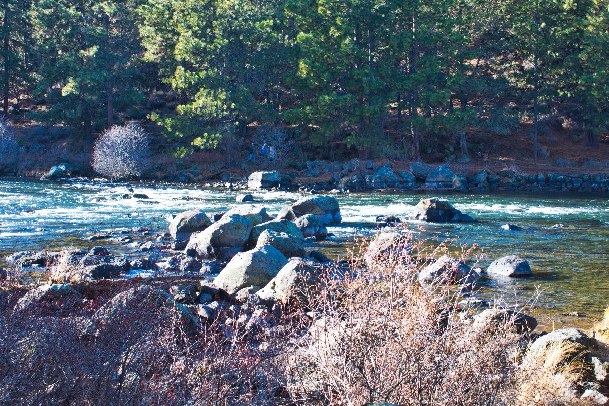
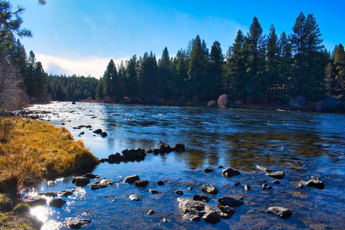
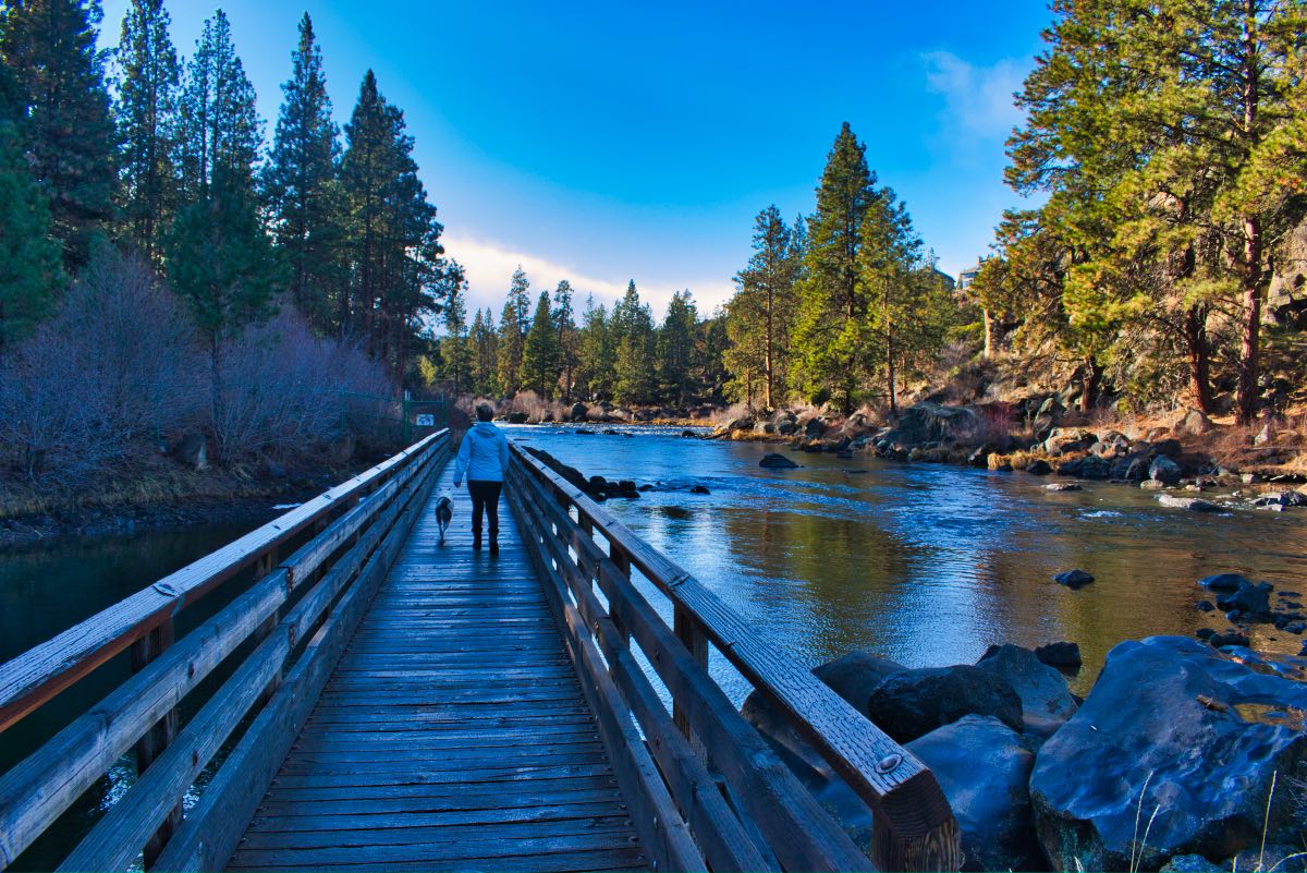
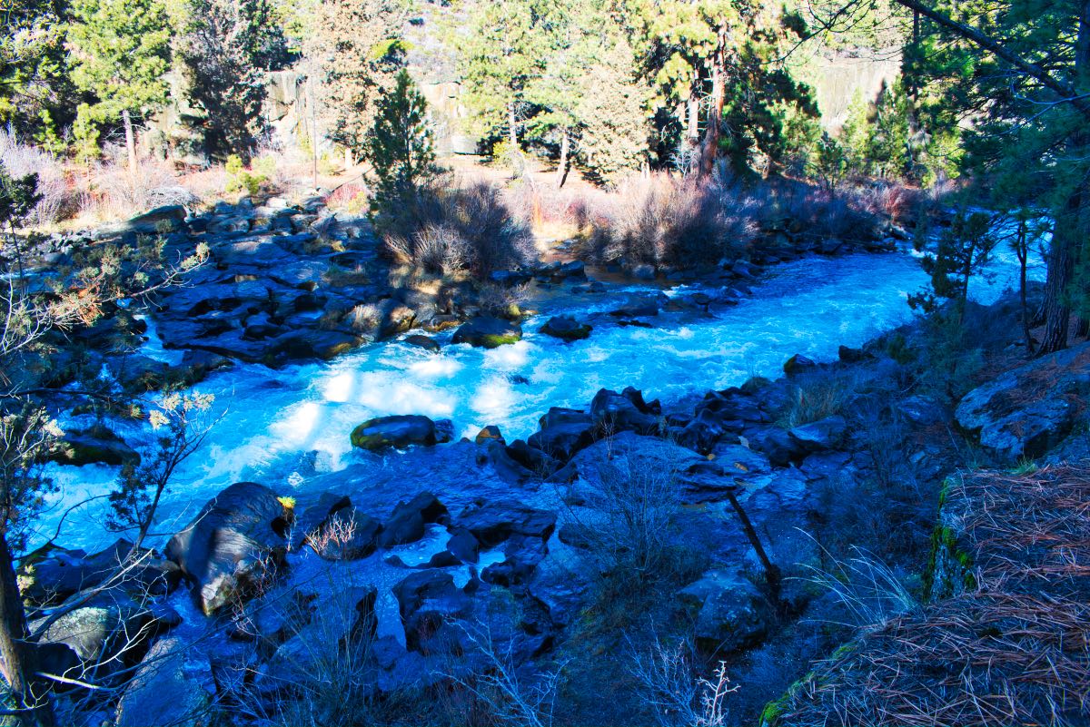
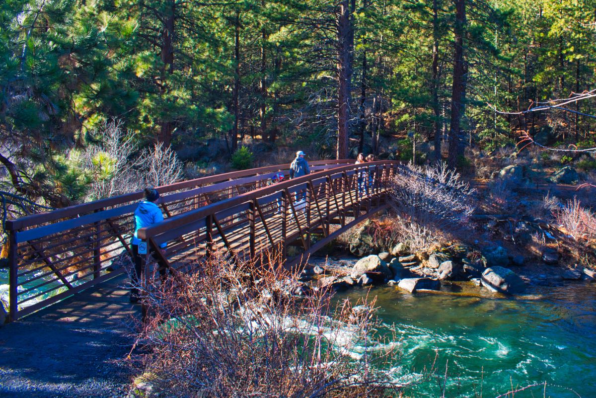
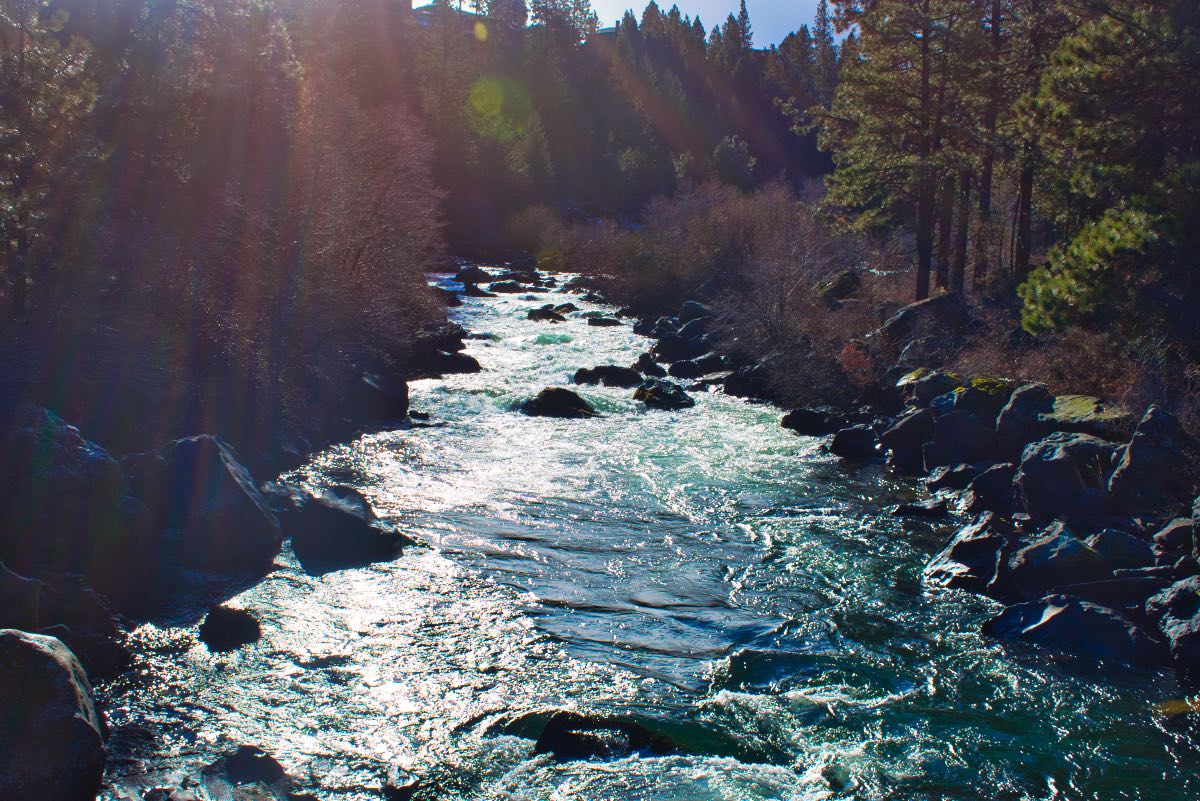
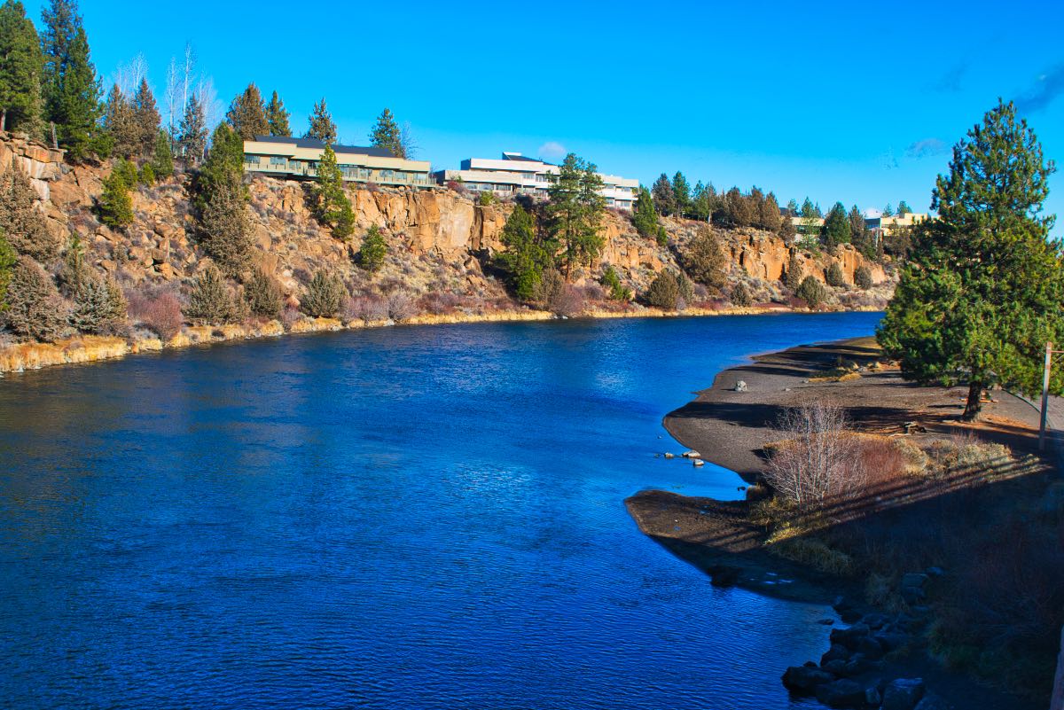
Once over the bridge, the trail climbs up about 65 feet onto a ridge above the river. There are several spots to snatch a quick view of the rushing rapids below. In another ¾ of a mile, you will reach the footbridge over the Deschutes. Cross the bridge and make a right, following the river downstream on the west bank. The trail is a little wider and less rocky on the return section.
Follow the trail until you return to the Bill Healy Bridge. Pass under the bridge and continue downriver for 0.4 miles until you reach another footbridge over the river, just above Riverbend Park. Cross the bridge and mosey on back to your car. Or hop on a tube, grab an adult beverage, and join the masses floating down the river. The choice is yours…….
Directions
This hike begins at the Farewell Bend Park in Bend, which is located on the north side of Reed Market Road near the Old Mill District. Parking can be fairly limited, with only parallel parking options at a couple of pullouts along the west bound lane. You may have to make a few trips around the roundabouts at both ends before figuring out what you are going to do. Another option is start you hike at RiverBend Park near the Bend Park and Recreation District Office and then head upstream until you reach the lower footbridge. There is usually a little more parking there.
Things to Know
Passes: No passes required.
Dogs: Allowed but leashes are required.
Usage: Heavy
Open Season: The trail is open year-round, but sections of the trail can get icy, snowy, and muddy in the winter.