Rock Creek Trail
Distance: 7.4 miles.
Elevation Gain: 600 feet.
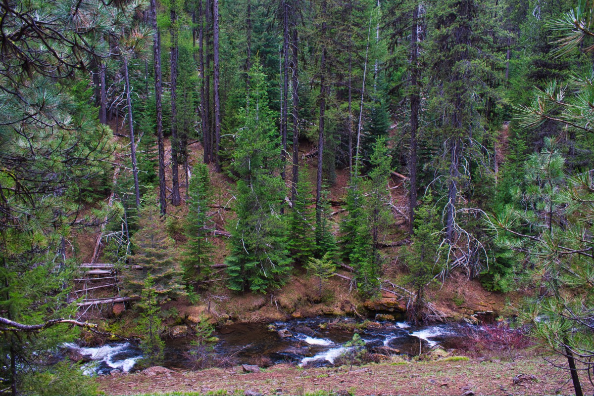
Rock Creek is a beautiful stream deep within the Ochoco National Forest. This remote creel travels down into a 1,000 foot deep canyon as it flows through a wide variety of timber, such as lodge pole pine, open stands of Ponderosa Pine, and mixed conifer old growth forest. The last 1.5 miles of the trail also travel along the Waterman Ditch, a ditch constructed in the late 1800’s to transport water 10 miles to the Spanish Peak Gold Mining District. There is even the remnants of an old cabin to mark a perfect turn around point and to satisfy your inner archeologist.
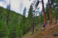
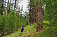
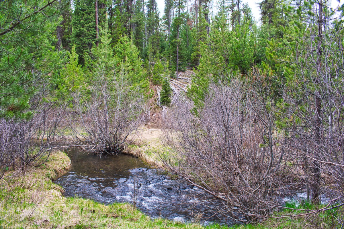
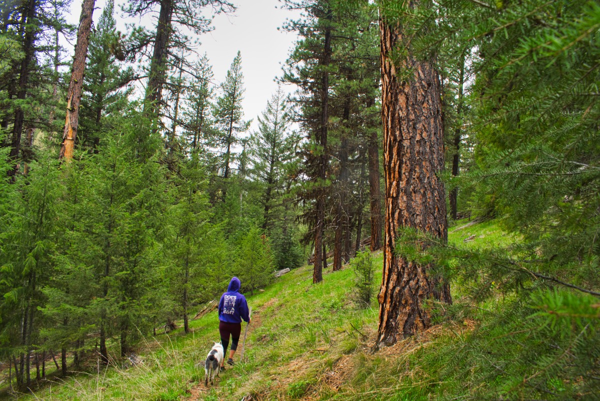
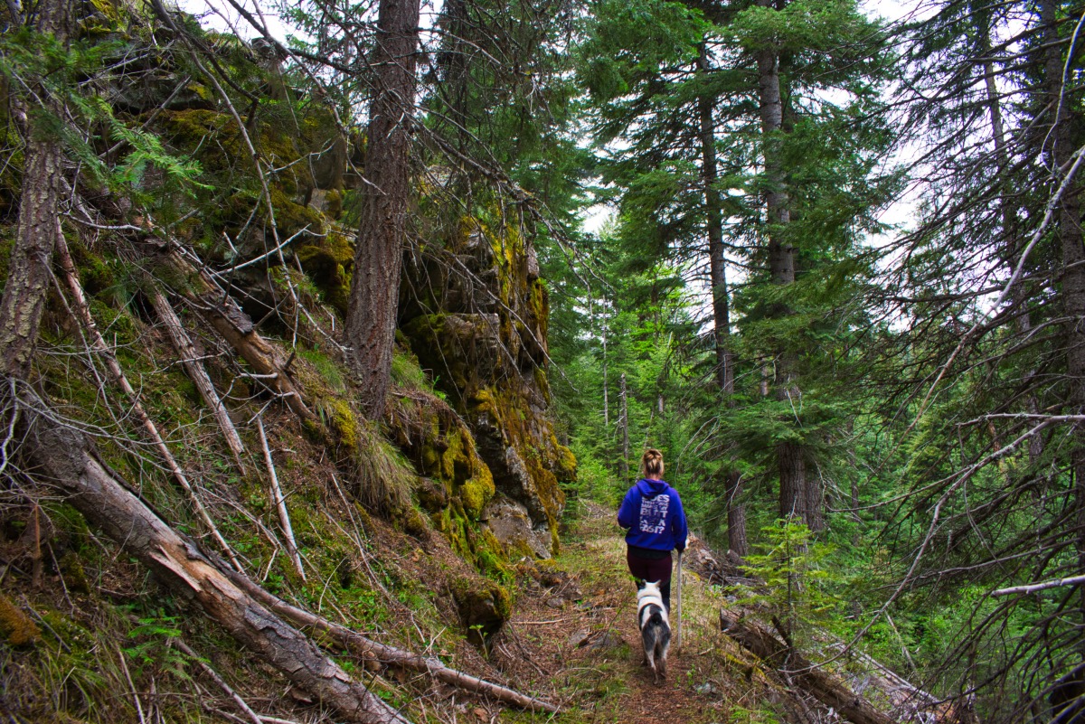
The trail begins in Potters Meadows, a beautiful grassy, flower filled flat above the canyon. It very quickly descends 200 feet down to Rock Creek, where a bridge will transport you to the northeastern side of the channel. Here, you will hike down the stream, through willow filled stream banks, up and over rock outcroppings, and across springs as they emerge from the hillside and drain into the creek. The trail along this stretch is pretty straight forward, if a little over grown and brushy in places. There are also a few areas that have eroded, leaving you traversing a steep hillside on a loose, tilting trail, a good 50 feet or more above the creek.
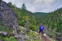
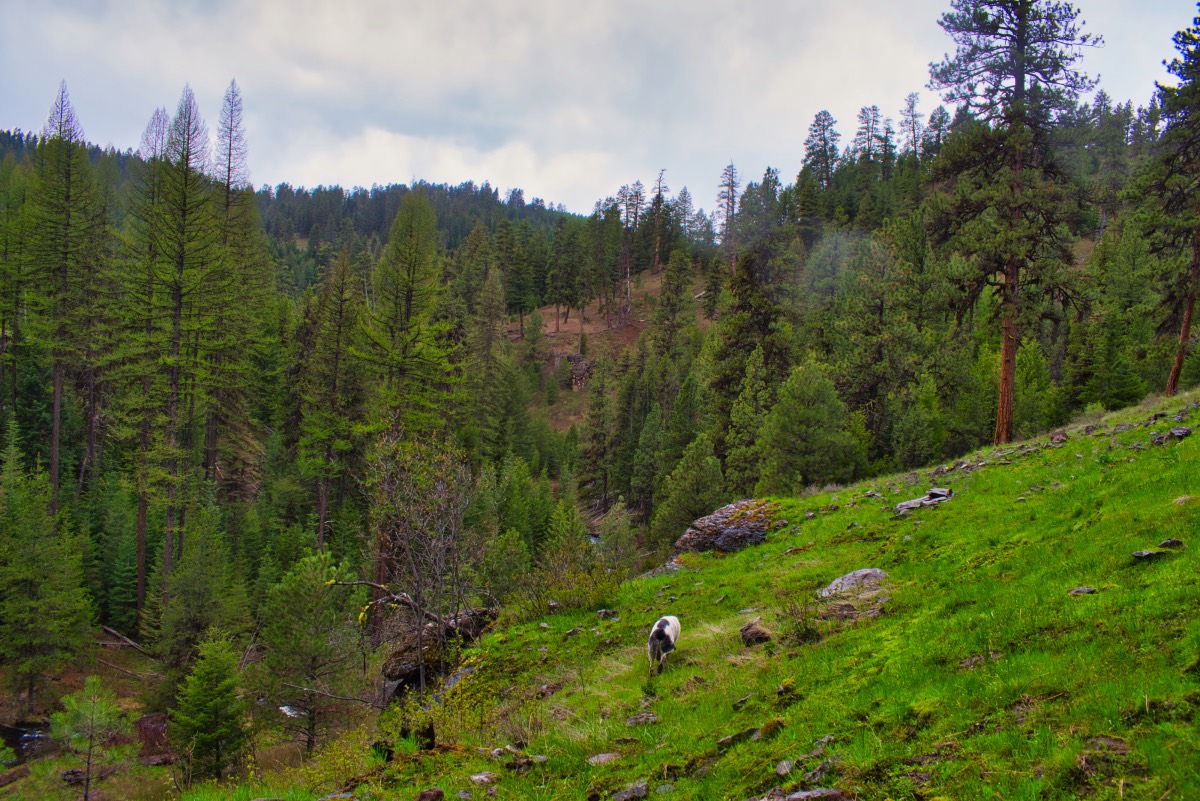
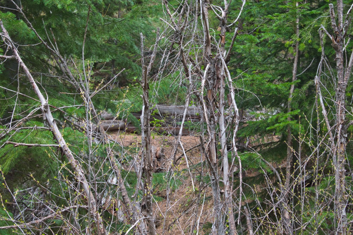
After a little over 2 miles, you will reach the Waterman Ditch. The trail really levels out here, as the ditch follows the contours of the canyon and only drops about 200 feet in its 10 miles length. There can be quite a few trees across the trail here, as I don’t believe the trail gets much maintenance. After about a mile, the trail will come to a point as it begins to turn up Fir Tree Creek. There are some beautiful views of the canyon here as you stand perched over 150 feet above the crashing stream below.
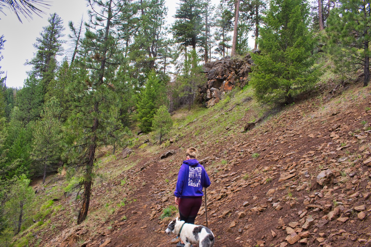
The trail turns up Fir Tree Creek and proceeds another third of a mile. At this point, the trail crosses over the creek and you will soon find yourself at the remains of an old cabin, a metal bedframe still present within its walls. This makes an excellent spot to soak your feet and relax before heading back the way you came. Unless you’re starting the Heart of Darkness Loop. If that is the case, you still have over 30 miles to go. Sorry.
Directions
To reach the Rock Creek trailhead, continue on past Paulina on Highway 380 for 3.5 miles. Then, make a left onto Beaver Creek Road and proceed for an additional 7.5 miles. When you see a sign directing you towards Wolf Creek Campground on NF-42, take it. Stay on 42 for 1.6 miles until it makes a sharp left, but head straight and continue onto the 3810 road. Continue along the 3810 road for 6.8 miles and it will then turn into NF-38. NF-38 will stay paved for about the next 3 miles or so. You will know you are getting close when it turns back into gravel. The trailhead will soon appear on your left.
Things to Know
Passes: No passes required.
Dogs: Allowed and must be on leash or under voice command at all times.
Usage: Light
Open Season: The trailhead is usually snow free by early May or so.
Flowers: Wild flowers are typically blooming in the area between mid May and into June.