Shevlin Park - Tumalo Creek Trail to Shevlin Loop Trail
Length: 4.7 miles
Elevation Gain: 280 feet.
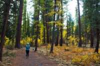
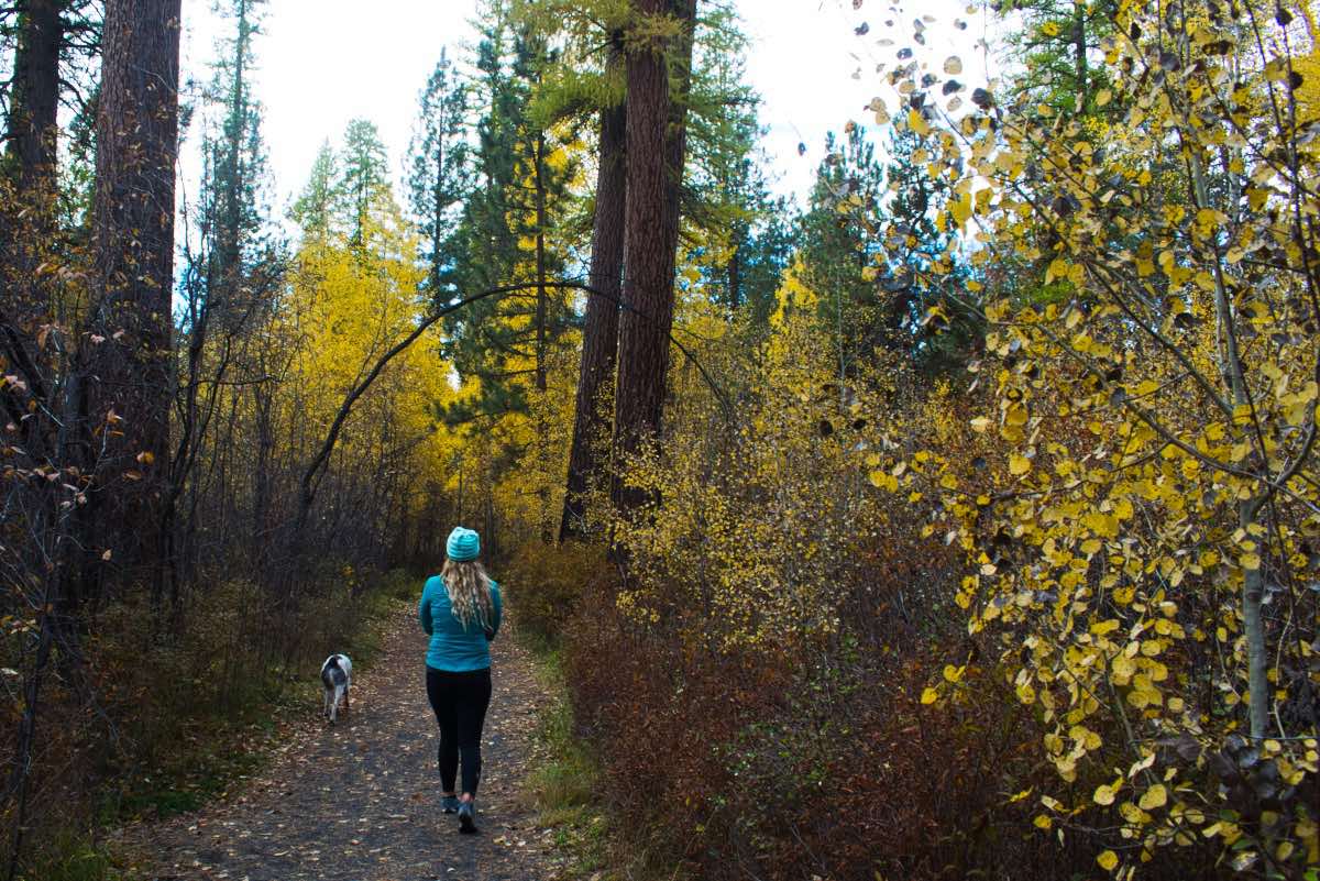
Shevlin Park is by far the City of Bend’s largest park, occupying nearly 1,000 acres along 4 miles of Tumalo Creek. The park was donated to the city by the Shevlin-Hixon Lumber company in 1920 in honor of its deceased president, Thomas Shevlin. Today, the nature preserve serves as one of the most popular parks in Bend, accommodating hikers, trail runners, and mountain bikers as they thread their way through groves of aspen, Ponderosa Pine, and Western Larch. The lush valley marks a sharp contrast to the dry landscape surrounding it, and it makes for a very worthwhile destination for anyone wanting to get out for a quick stroll within the Bend city limits.
Begin your hike from the parking area on the south side of Shevlin Park Road. There is a large parking area right near the road, and then more if you pass through the gate and continue to the south a little ways. The trail begins by heading towards the east, towards Tumalo Creek. There is a picnic pavilion and restroom as you head in the right direction. From here, things can get a bit confusing, as it seems like there are trails everywhere. Just pick one that starts heading upstream and stay close to the creek. They will and merge together eventually, as the Tumalo Creek Trail, so don’t worry about it too much. The walk is the most pleasant nearest the stream however, as you can catch glimpses of the creek as it flows from its source on Broken Top towards the Deschutes River and stroll through the lush riparian vegetation.
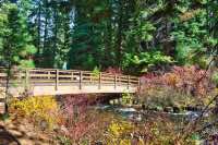
After 2/3 of a mile, you will come to a junction where the trail will kick you out onto a road and another trail will head off to your left and over a bridge. If you are looking for a shorter hike, you can cross the bridge here, hike up to the canyon rim on the east side of the creek, and follow the trail back to the trailhead. If you want to keep going, continue down the road for about a quarter mile until you see a trail branching off to your left, paralleling the creek. Follow that trail, son!
The trail will follow the creek for another mile before entering Fremont Meadows. This stretch is particularly beautiful in the fall, when the larch and aspen which cover the valley bottom are all changing color. Pass through the meadow and continue for about 1/3 of a mile. Here, you will reach another trail junction, with the Tumalo Creek Trail veering right and the Shevlin Loop trail veering left. Leave the Tumalo Creek trail here and follow the Shevlin Loop trail as it heads down towards the creek and over a bridge.
After crossing Tumalo Creek, the trail climbs about 100 feet up to the eastern rim of the canyon. The ecosystem changes dramatically here, transitioning from the lush riparian habitat below to ponderosa and manzanita. The views down into the canyon offer some different perspectives along the return hike.
You will encounter several other trails along the return trek, but just always stay on the Shevlin Loop Trail. After a couple miles of hiking along the canyon rim, the trail will begin to drop back towards the creek. There will be a couple switch backs as you descend the 60 feet to the canyon bottom. Then, cross another bridge, find the picnic pavilion, and head back to your car.
Directions
From Bend, head west on Newport Ave, which turns into Shevlin Park Road after College Way. From the intersection with NW 14th St, the park is 3 miles west and on your left.
Things to Know
Passes: No passes are required.
Dogs: Allowed but must be leashed.
Usage: Heavy
Open Season: Open and accessable all year, but can get snowy in the winter months. If there is enough snow, this can be a popular area to snowshoe or cross country ski.


