Tumalo State Park
Distance: 3.4 mile
Elevation Gain: 150 feet.
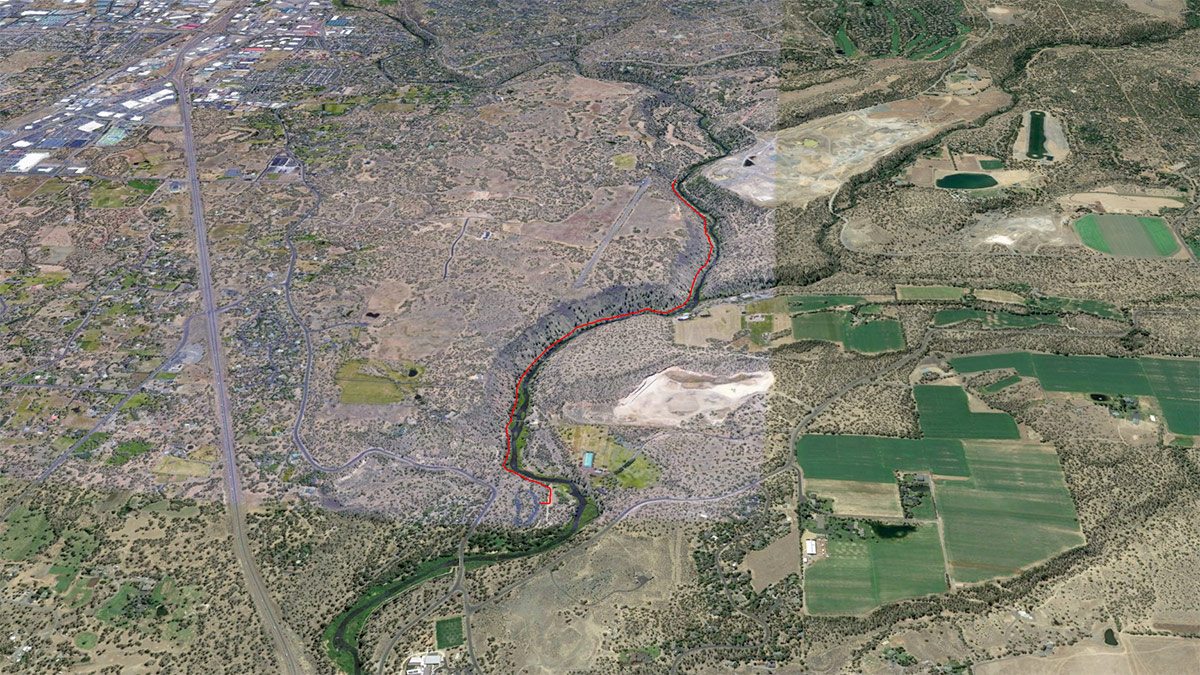
Tumalo State Park is located along the Deschutes River just north of Bend and offers visitors a plethora of relaxing activities during the warm summer months. Don’t be surprised to find the park packed with picnickers and people swimming, wading, tubing down the river. But the park is open all year and there is a great trail to hike upriver from the park on, immersing yourself in a wild, river canyon right outside of Bend.
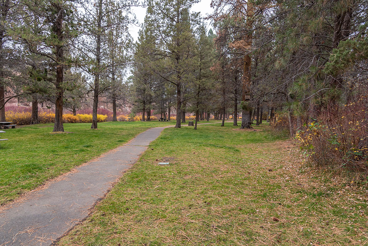
Begin your hike from the day-use area of Tumalo State Park. It can be challenging to find a parking spot on a nice, summer weekend, or even weekdays sometimes, but parking should be plentiful other times of the year. Just head from the parking area down to the park and river and begin heading upstream. Depending on where you start, there will be intermittent trails through some wooded areas connecting grassy picnic areas. Eventually, you will find a dirt path heading upriver and the real hike begins.
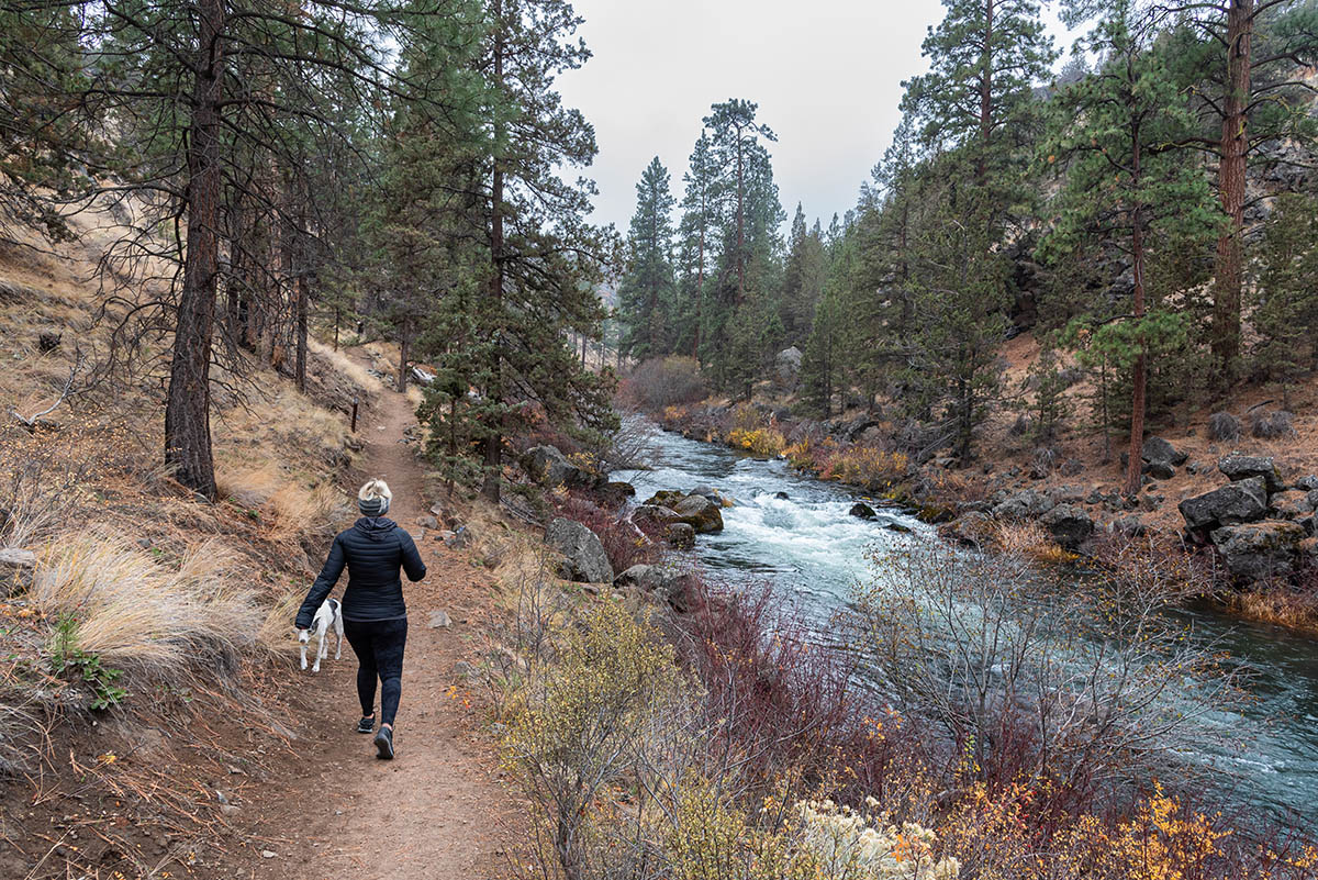
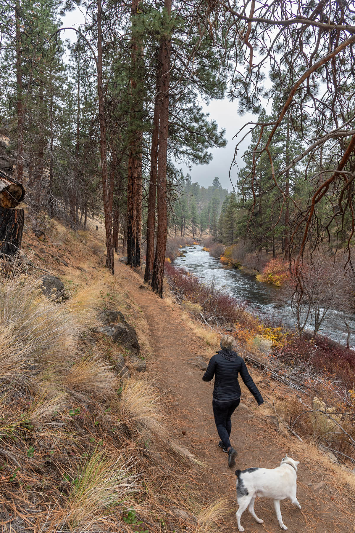
The trail parallels the river along the bottom of the canyon as it heads upstream. Shortly after starting along the trail, it will bump you up onto a road for a short distance as it heads towards a bridge. Once you reach the bridge, don’t ignore the multiple No Trespassing and Private Property signs and go rogue and cross the bridge, but instead look for the trail heading upstream once again right before you reach the bridge.
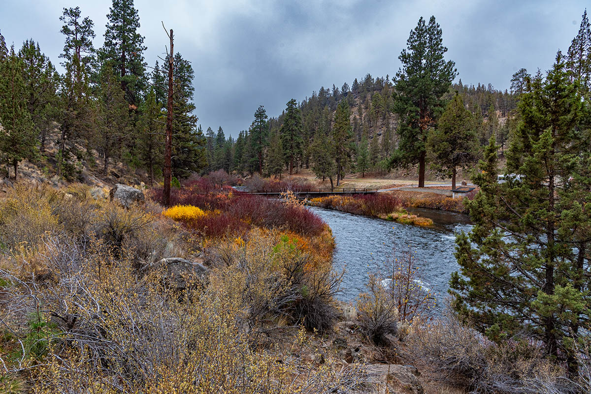
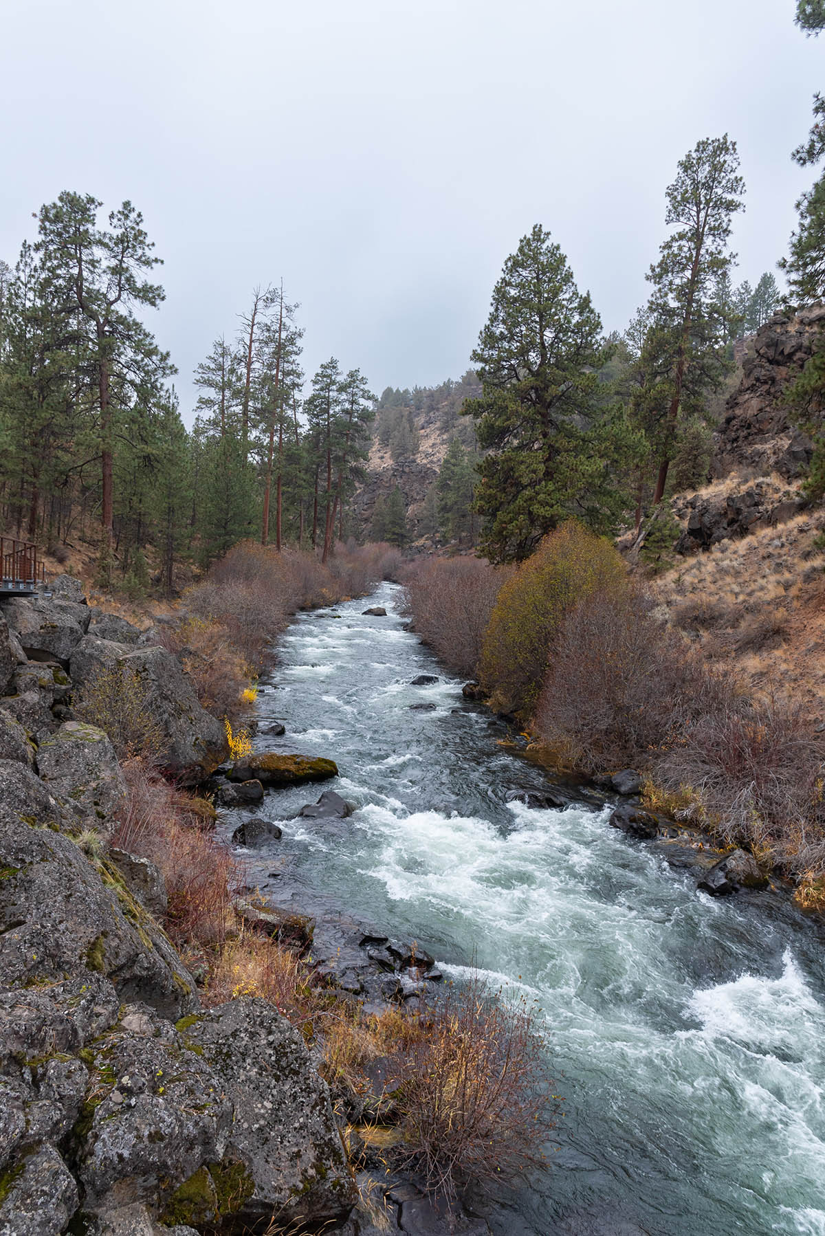
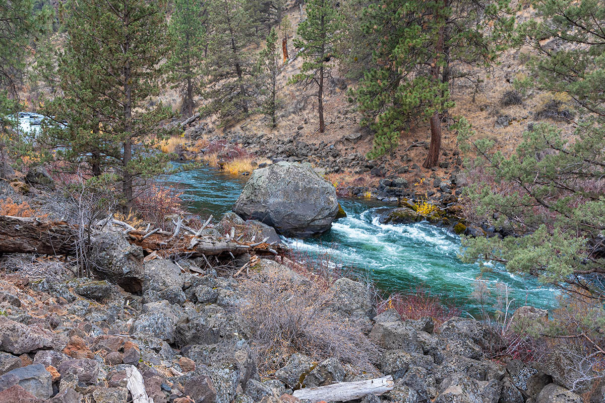
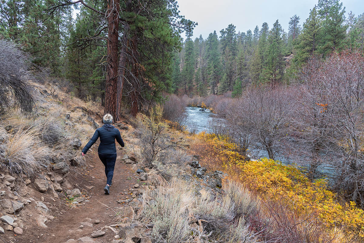
The trail passes some cool old growth Ponderosa Pines and the river itself is lines with willows, red-osier dogwood, and alders, which paint some beautiful colors in the fall. The river crashes through some very rocky sections, but the flow can get fairly low during the summer, when the majority of the flow is diverted for irrigation upstream.
A little less than a mile from the park, you trail will cross over a cool, metal walkway as it passes over a boulder field. Soon after the boulders, you will reach the confluence with Tumalo Creek. Just above Tumalo Creek is a great, deep and slow swimming hole if you are feeling a little toasty from the walk so far. If not, continue on upstream, as the trail continues another ¾ of a mile before reaching the Riley Ranch Nature Preserve, where you can connect with another network of trails. If you have brought your dog though, you must turn around here, as they are not allowed on the preserve.
Directions
To reach Tumalo State Park, take highway 20 two miles north of Bend or 15 miles southeast of Sisters. Head south on O.B. Riley Road in the community of Tumalo and follow the road for 1.6 miles. Once you cross over the river, the park will be just to your right.
Things to Know
Passes: A $5 day use pass is requires.
Dogs: Dogs are allowd but must be on leash.
Usage: Heavy at the park, Light to Moderate on the trail.
Bugs: Bugs aren't too much of concern in this area.
Open Season: The state park is open and accessible year round, but expect some muddy or snow convered sections in the winter.
