Tamanawas Falls
Length: 3.3 miles
Elevation Gain: 700 feet.
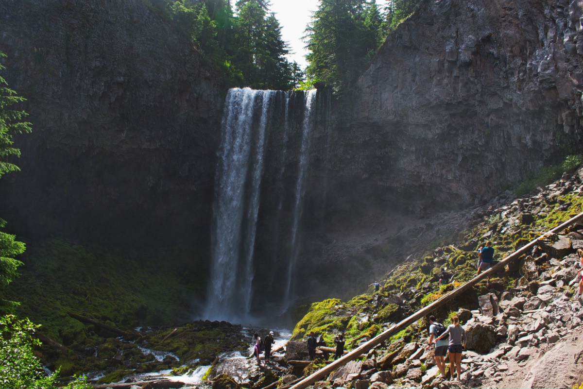
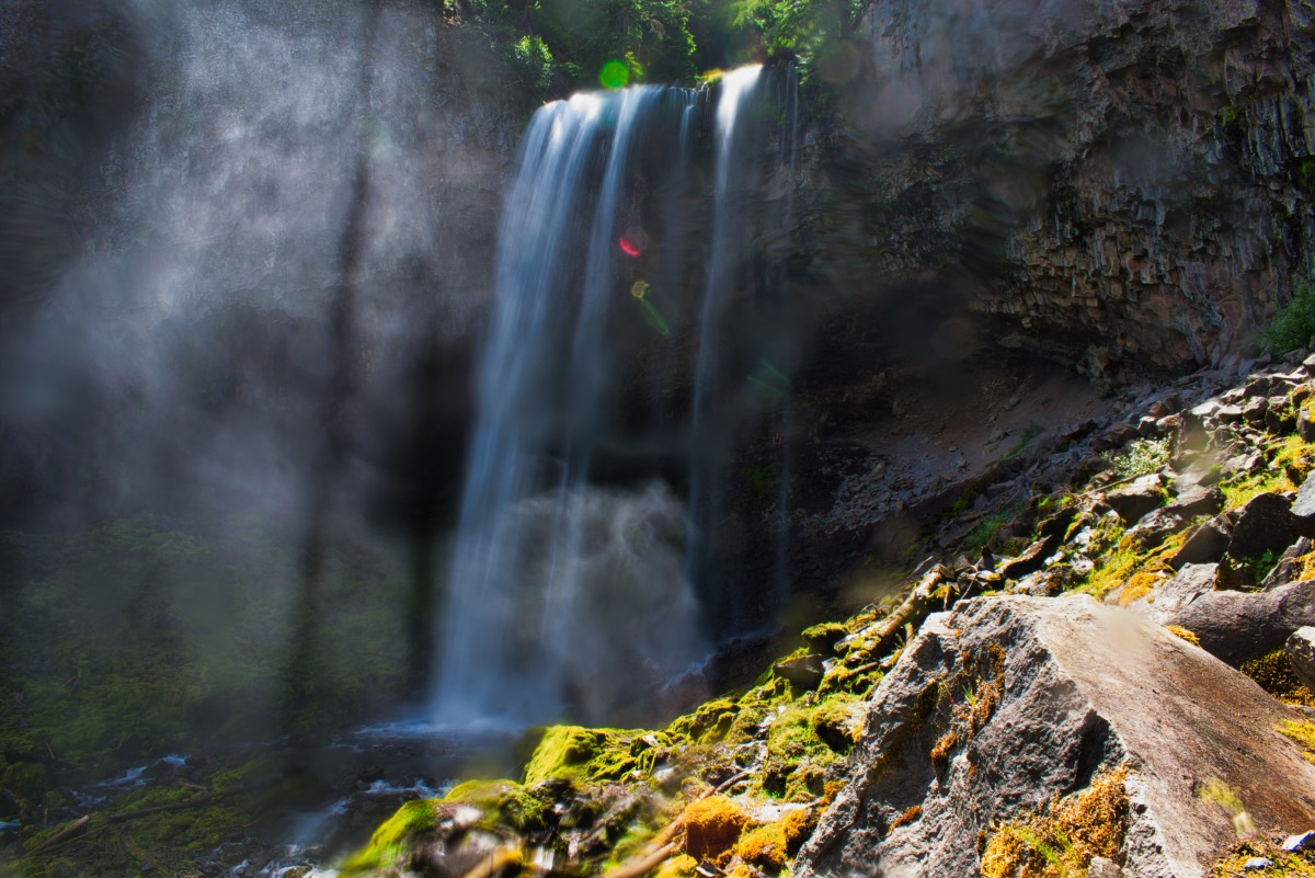
Tamanawas Falls is a magnificent falls located on Mt Hood’s eastern flank, rivaling many of the more famous and popular falls in the gorge. The waterfall drops over 100 feet into a mossy amphitheater, spraying mist everywhere and cooling you off even on a hot summer day. The hike up to the falls is a treat as well, as Cold Springs Creek rumbles down numerous cascades along the trail. Just don’t expect to find much solitude on this popular trek.
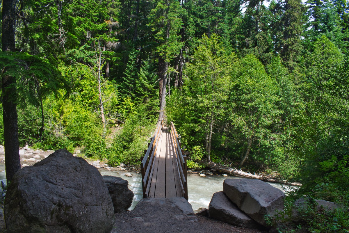
Begin your trek from the pullout at the Tamanawas Falls Trailhead along Highway 35. Head out of the west end of the parking area and quickly come to a log bridge over the East Fork of the Hood River. The bridge appears a little off kilter as you cross the boiling river below, but it is sturdy enough. The river itself is really cool, flowing a milky color caused by all the glacial silt running down the stream.
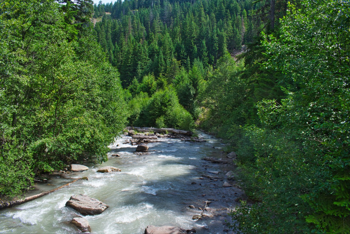
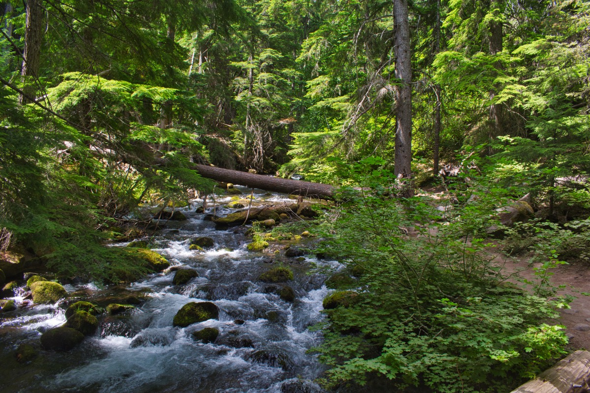
The trail heads down alongside the East Fork Hood River for about half a mile as it climbs up and down a couple of small hills. At that point, you will turn sharply to your left and begin climbing up Cold Springs Creek towards Tamanawas Falls. You will soon have to cross another, smaller bridge over Cold Springs Creek. Once over, the trial splits, with the right junction heading towards the Polallie Trailhead. Head to the left towards the falls.
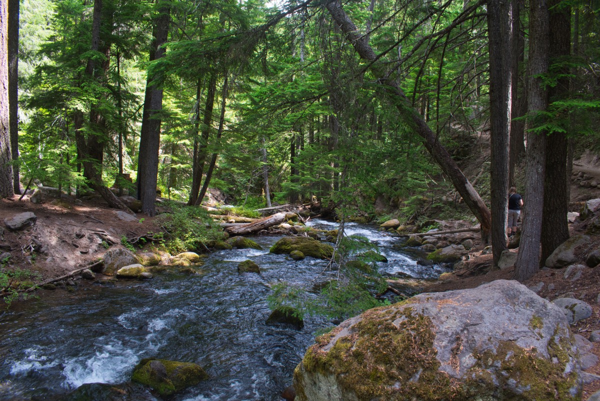
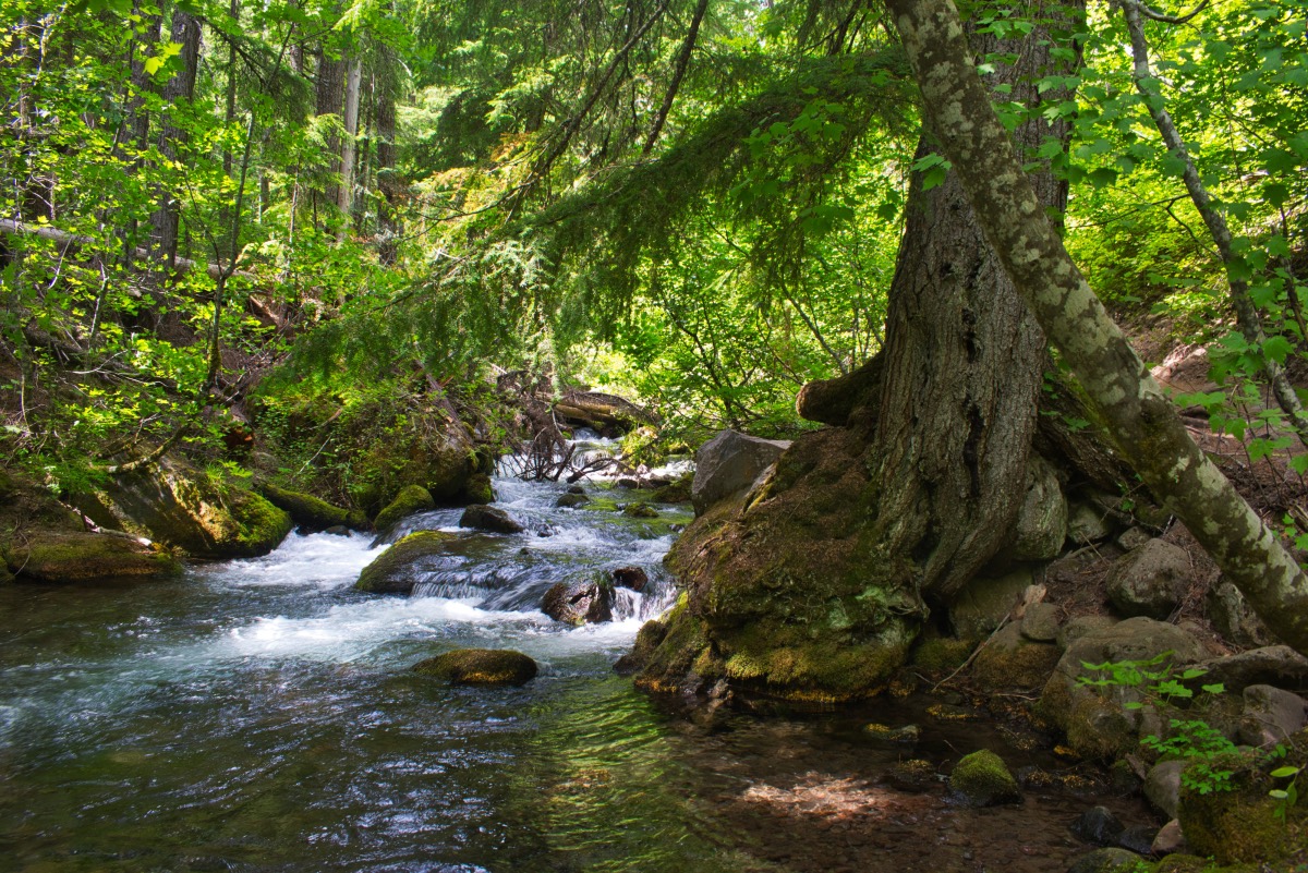
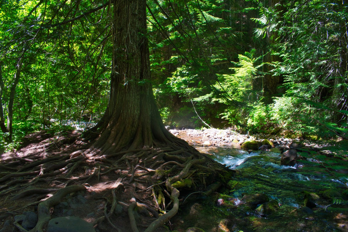
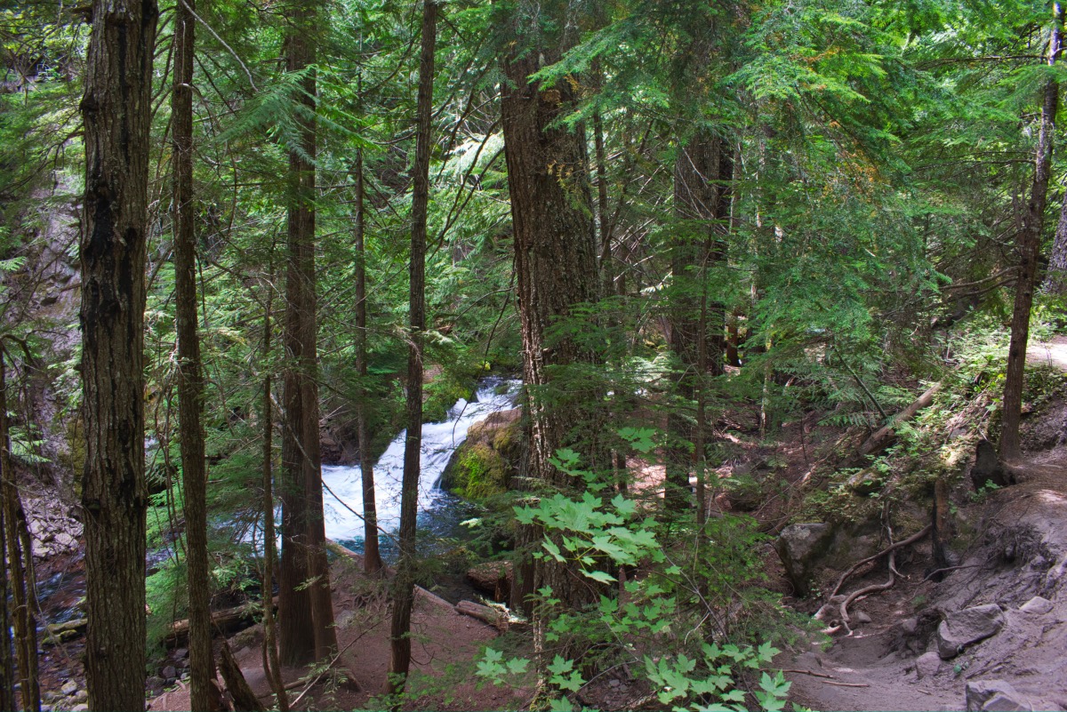
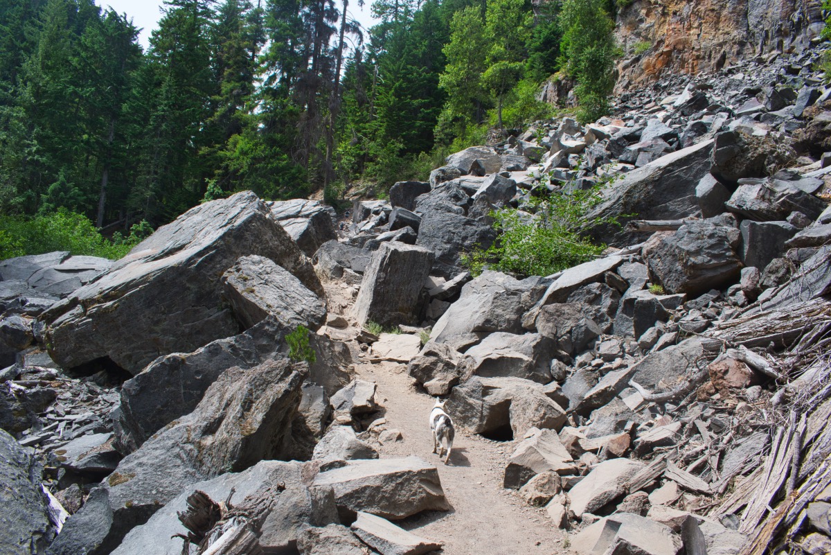
The trail follows the creek for the next mile has it heads up towards Tamanawas Falls. The creek boils around below you, with numerous little cascades and rapids. About 0.1 miles before reaching the falls, you will encounter a large boulder field. The trail cut through the boulder field is a little steep and loose, but not too bad to get through.
After the boulder field, Tamanawas Falls will quickly come into view as you continue to hike up the canyon. The waterfall can spread out to over 40 feet as it cascades over an overhanging lip, dropping to a rocky creek bottom below. The actual trail ends probably a couple hundred feet from the falls and up on the hillside, but the views are excellent. If you are an able scrambler, you can traverse the loose hillside to get closer, or even clamber into the recess behind the waterfall. Just be careful. There will be lots of people to watch you wipe out if you slip, and a wounded pride would be sure to follow.
Directions
To reach the Tamanawas Falls Trailhead to begin your hike, head north on Highway 35 from the junction with Highway 26, just south of Mt Hood. Head 16 miles on Highway 35 and the trailhead will be on your left. If you are coming from Hood River, head north on 35 for 24 miles and watch for the parking area on you right.
Things to Know
Passes: A Northwest Forest Pass is required at this trailhead.
Dogs: Allowed and must be on leash or under voice command at all times.
Usage: Heavy
Open Season: The trailhead is accessible year round, but the trail will likely be covered in snow during the winter. If you want to snowshoe it, click here for more details.