Tam McArthur Rim
Distance: 5.4 miles.
Elevation Gain: 1,200 feet.
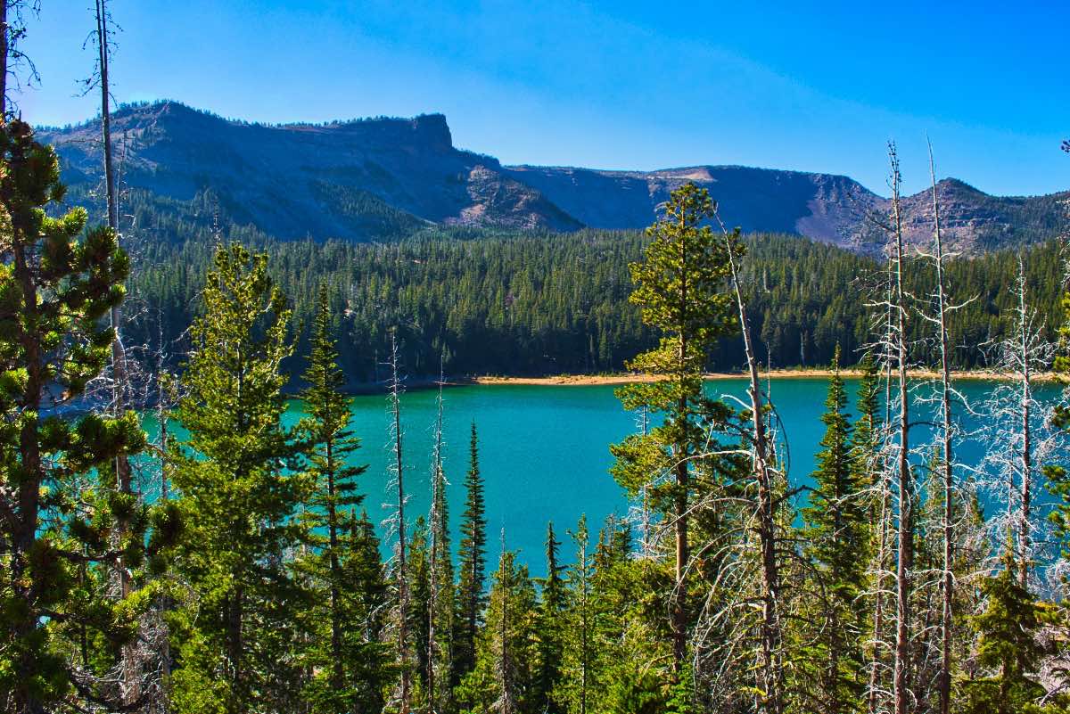
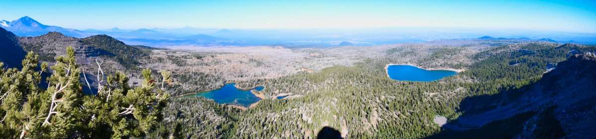
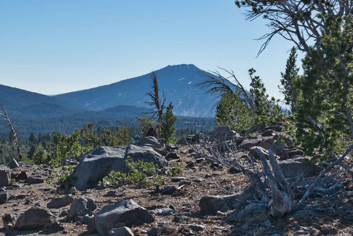
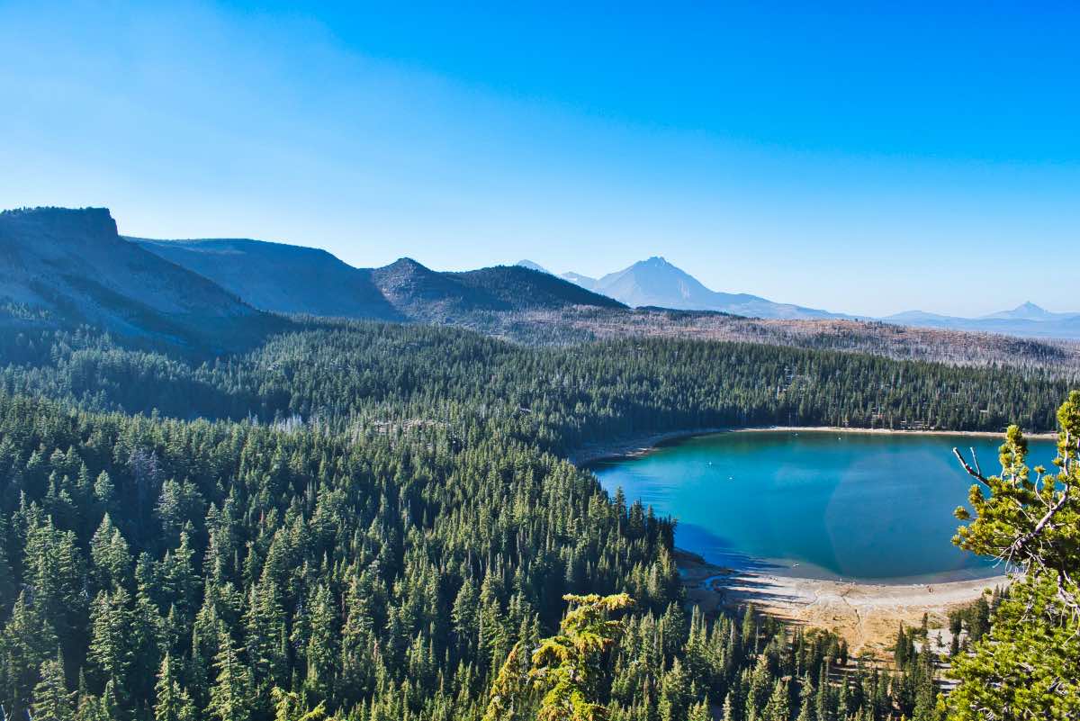
The cliffs of Tam McArthur Rim tower over Three Creek Lake at the base of Broken Top and provide you with some amazing views of the surrounding Cascades. Tam McArthur Rim and Broken Top are the eroded remains of a stratovolcano whose eruptive history begin about 300,000 years ago and tapered off 150,000 years ago. The hike will take you up to some pumice plains and put you right in the center of one of the most densely populated areas of volcanic centers in the world.
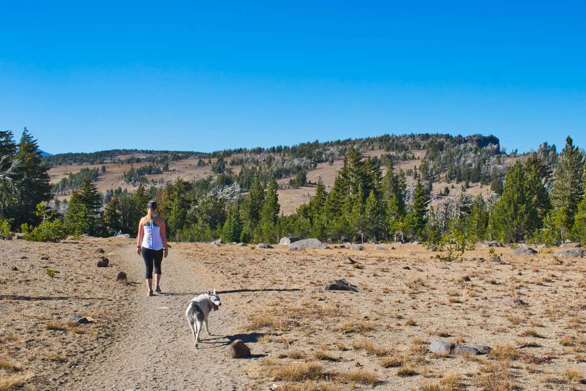
The hike begins from the Tam MacArthur Rim trailhead, just before reaching Three Creek Lake. The trail starts on the south side of the road and quickly begins climbing as it works its way up the ridgeline on the east side of the lake. There are several areas towards the beginning of the hike where you have to make your way over some rock outcrops in the trail, so watch your step. Those quickly pass however, as you continue your climb.
Along the trail, there will be a couple of places where the trees part and you can gaze across the lake towards the rim. In about a half mile, the trail will start to switchback and you will climb a little more steeply. At a mile, however, the climb will begin to mellow out a little as you reach the shoulder of the rim. After another .6 miles and 250 feet of climbing, you will reach your first chance to stand on the edge of the rim and look out over the lake.
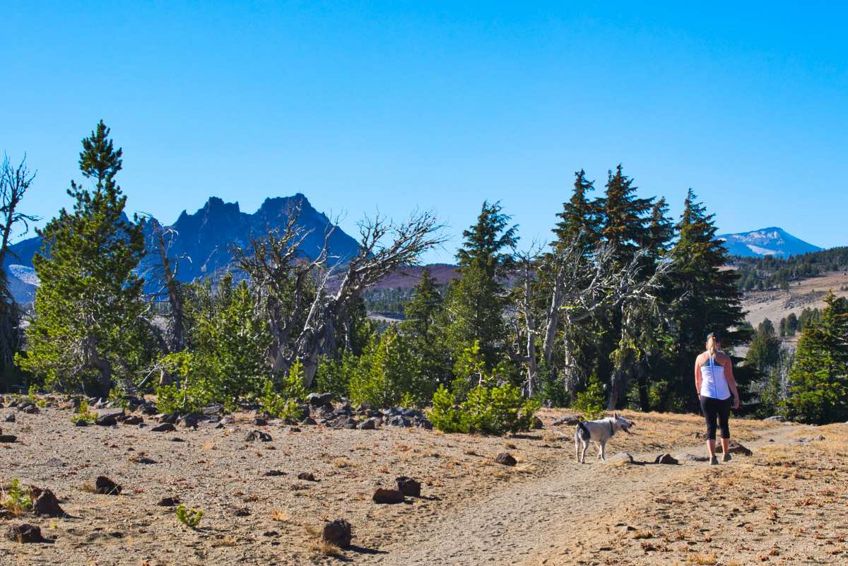
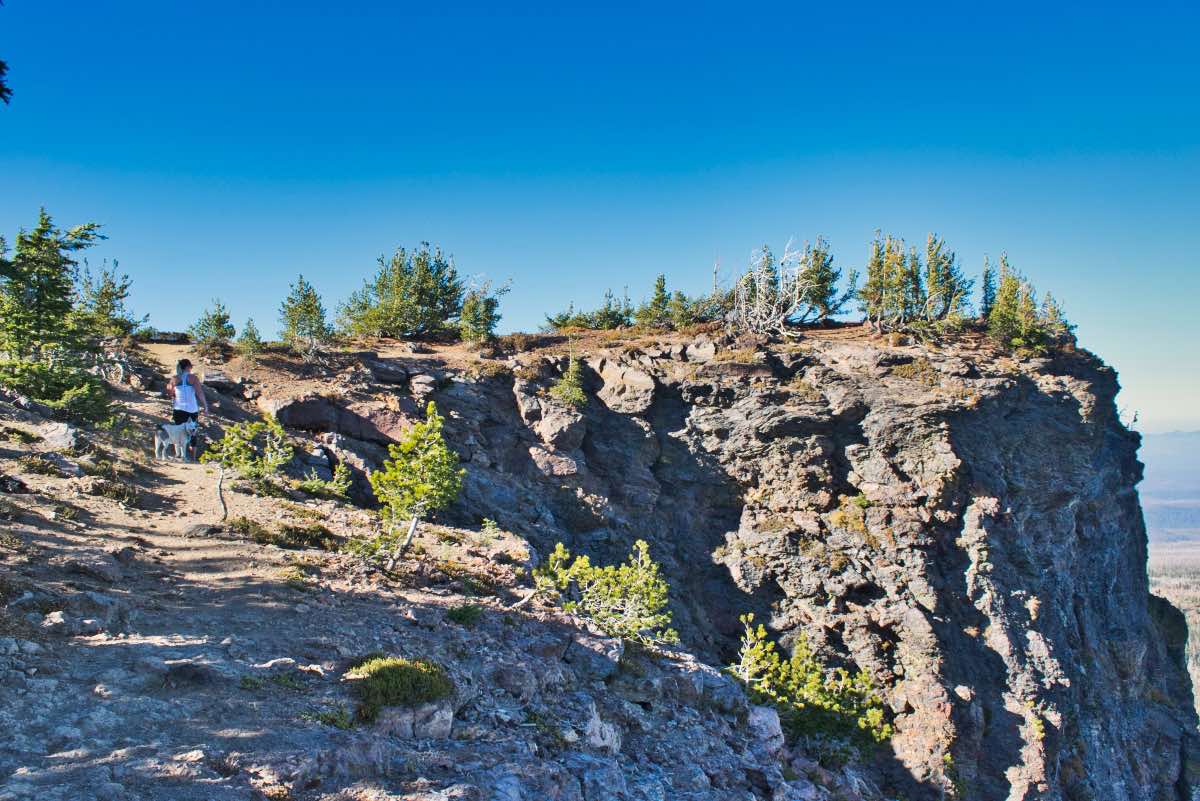
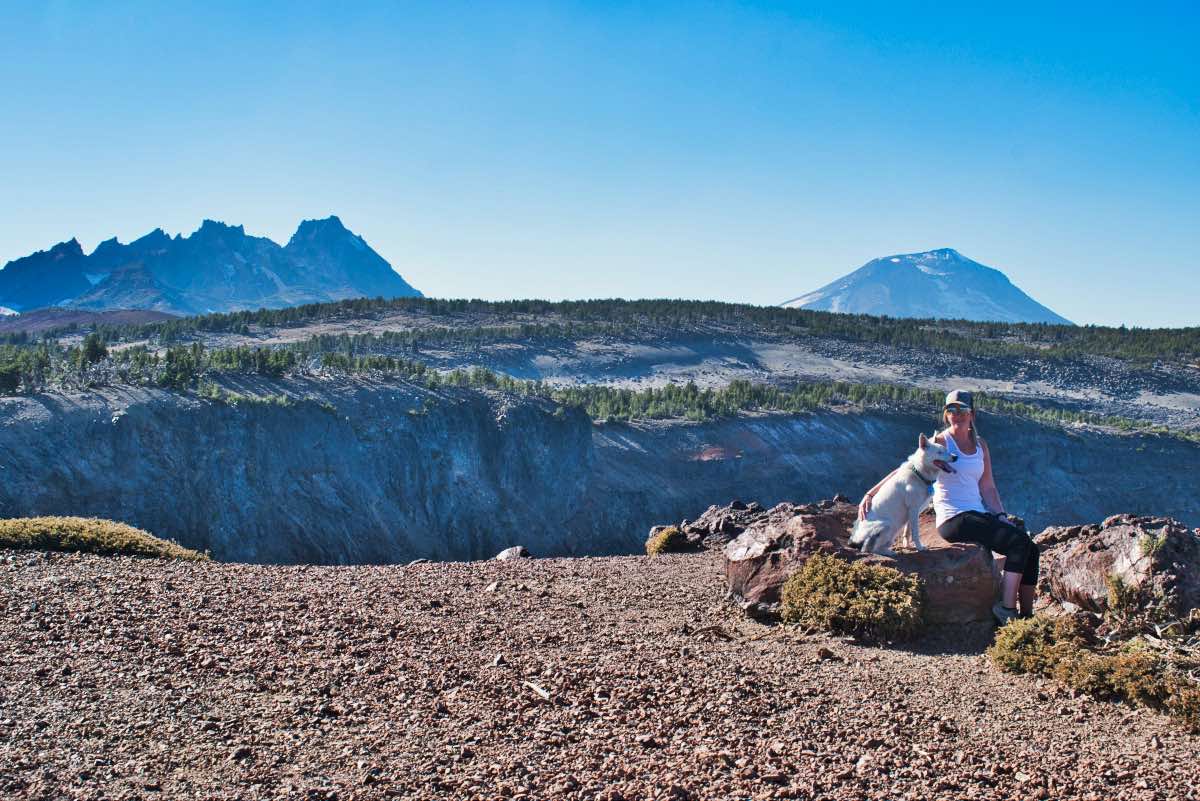
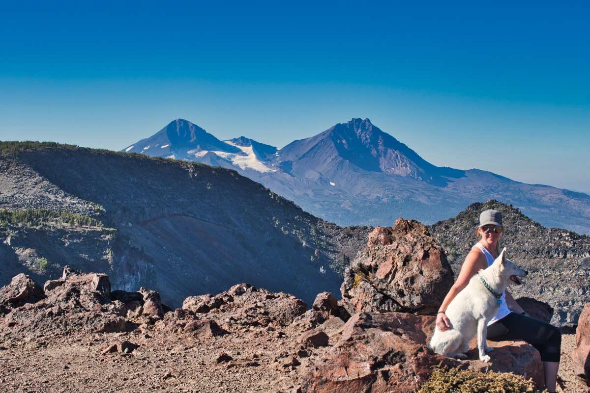
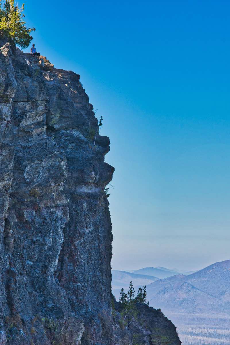
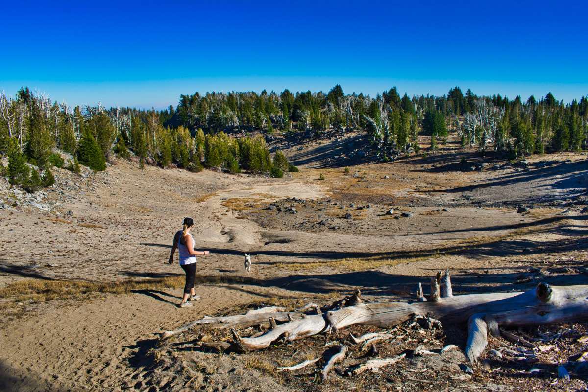
Don’t stop there, however, as even grander views await. The trail navigates the relatively flat, high volcanic plateau for another half mile or so. Then you will reach the final push up to the end of the trail. Here, the trail gets steep and sandy, making the hiking more difficult. The rewards are granted to you once you are standing on that jutting outcrop of rock with cliffs dropping away from you on three sides. It's pretty awesome.
On the way back, you can add a little variance to your hike by taking a user trail that travels a little closer to the rims edge. Once you get down from the lookout site, look for a trail that branches off to your left and follows the edge of the rim. This trail will travel for about a mile along the rim before rejoining with the main trail around where you first reached the top. This trail is relatively high in elevation and thus only free of snow later in the summer and early in the fall. So, make your plans accordingly and enjoy one of Central Oregon’s most rewarding hikes.
Directions
From Highway 20 watch for signs directing you to Three Creek Lake right on the main drag. Head south on Elm Street and proceed for 18 miles until you reach the lake. The majority of the road is paved, with maybe the last couple miles being gravel, but most cars should have little trouble reaching the lake. The Tam McArthur Rim trailhead is located on the left side of the road just past the Driftwood Campground road.
Things to Know
Passes: A Central Cascades Wilderness Permit is required to access this area between June 15th and October 15th. The permits will be available from recreation.gov and will go on sale in early April. A Northwest Forest Pass is also required to park at this trailhead.
Dogs: Allowed and must be on leash or under voice command at all times.
Usage: Heavy
Open Season: The trailhead isusually accessible in June but some will likely remain on trail in places will into July.
Bugs: Mosquitos can be bad during the melt season, usually June-July, then will mostly clear up moving into August.