Timber Gulch
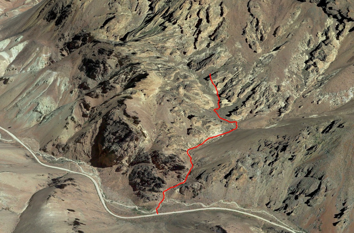
Length: 1.1 miles
Elevation Gain: 450 feet.
Timber Gulch is a side canyon in Leslie Gulch which is a beautiful landscape of towering, colorful cliffs and honeycombed rock formations. The towers and cliffs of Leslie and Timber Gulches are made up of a consolidated volcanic ash called Tuff which was deposited over 15 million years ago with eruptions emanating from the Mahogany Mountain and Three Fingers Caldera. These violent explosions buried the area in a layer over 1,000 feet thick. As water and time have eroded away the area, the cliffs and towers of tuff have remained.
The trail up Timber Gulch begins from an unmarked trailhead on the right side of Leslie Gulch road. There will be a wide spot in the road to park with enough room for 2 or 3 cars, about 1.25 miles down from the Juniper Gulch trailhead. The Timber Gulch “trail” is located within the Honeycombs Wilderness Study Area, and none of the trails within the WSA are maintained. Thus, long pants are advised in this area as you wind your way past sagebrush that loves to scratch your lower legs.
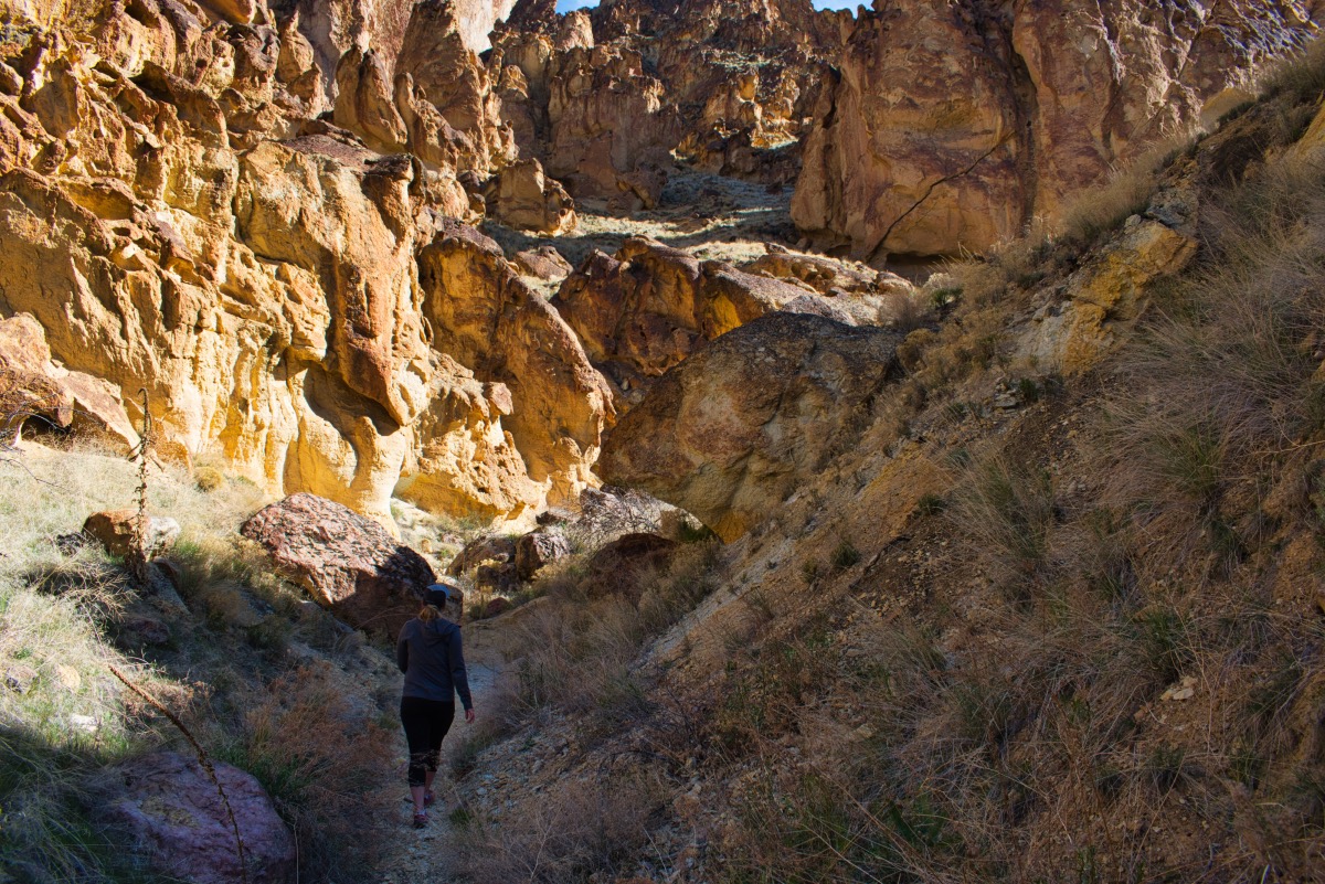
The trail up Timber Gulch starts by wading through some sagebrush down to a sandy wash. Follow the wash to your right as it begins to climb up the gulch. Beautiful red, orange, and yellow cliffs line the gulch as you steady climb as you climb up the wash. After about 0.3 miles, the valley bottom will become clogged with large boulders and the trail seems to disappear. Make your way around the boulders and continue following the canyon as it bends to the left. Soon, you will find yourself in a huge amphitheater, surrounded by cliffs and pillars.
Directions
From the south, head west on Succor Creek Road 18 miles north of Jordan Valley, Oregon on Highway 95. Stay on Succor Creek road for 8.5 miles. Here, you will encounter an intersection with Succor Creek Road continuing to your left and McBride Road heading straight ahead. Make the left and continue another 1.8 miles on Succor Creek Road. Then make a left onto Leslie Gulch Road and travel 16.1 miles until you reach the trailhead. It will be an unsigned wide spot on the right side of the road.
From the north, head south on Highway 95 21 miles from Marsing, Idaho and make a right onto McBride Road. Follow McBride Road for 8.5 miles until you reach Succor Creek Road. Head right and travel 1.8 miles and then make a left onto Leslie Gulch Road. The trailhead will on your left, 14.9 miles until you reach the trailhead. It will be an unsigned wide spot on the right side of the road.
Things to Know
Passes: No passes are required.
Dogs: Allowed and must be on leash or under voice command at all times.
Usage: Light
Open Season: Open year round, but if it has rained or is wet, the roads in this area can become impassable. Also be aware of thunderstorms because flash floods in these canyons are aways a risk.


