LaPine State Park - Deschutes Loop
Distance: 3.3 miles
Elevation Gain: 80 feet.
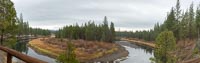
The Deschutes Loop Trail offers you the chance to stroll along the banks of the beautiful Deschutes River in tranquil La Pine State Park. La Pine State Park encompasses more than 2,000 acres north of La Pine and offers numerous activates in the sub-alpine forest, such as mountain biking, horseback riding, and boating. There are also over 15 miles of hiking trails located within the park.
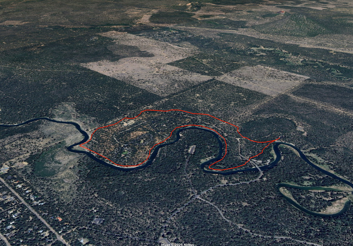
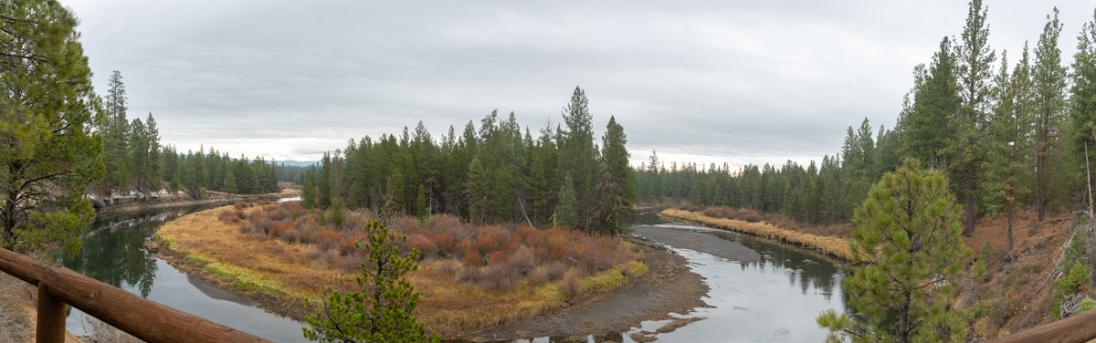
The trailhead for the Deschutes Loop trail is found just after you cross a bridge over the river and down a short side road. Park at the parking area for the McGregor Memorial Viewpoint. The trail head out of the south end of the parking area, but make sure you make a quick visit to the viewpoint itself, which offers a pretty view of the Deschutes has it bends around a tight meander.
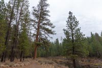
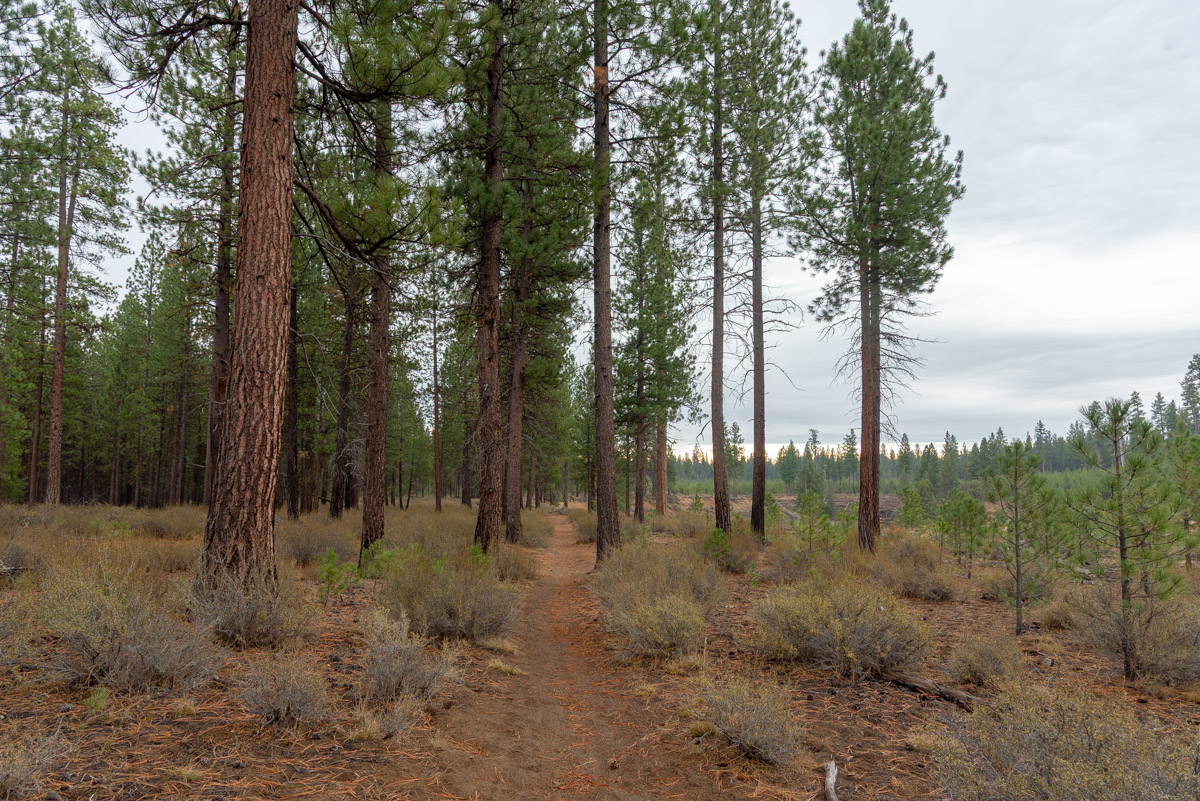
You can head either direction along the trail, but I like to head counterclockwise, so you can bust out the forest first and then enjoy the stroll along the mighty Deschutes to end the hike. The trail basically just circles around the campground and state park, but staying just outside it enough most the time that you don’t notice it. The trail will veer to the right and then cross over a couple of roads, but it easy to find again on the other side. It will slowly bend towards the south and the river, passing by a pet exercise are on your left. Finally, after 1.5 miles, you will reach the Deschutes.
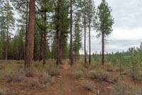
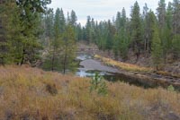
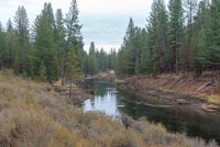
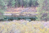
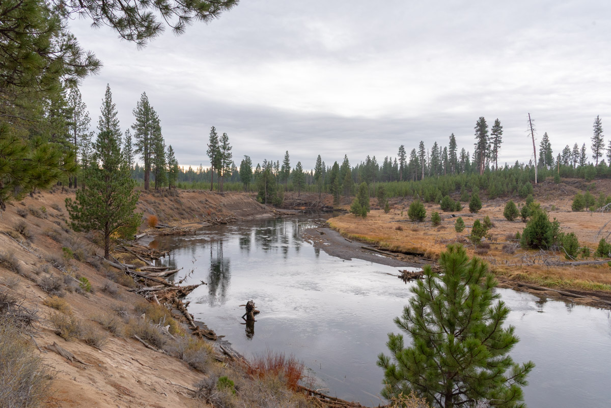
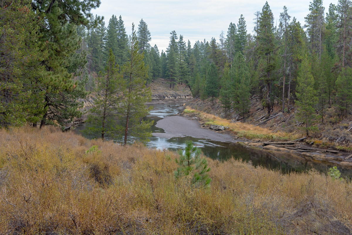
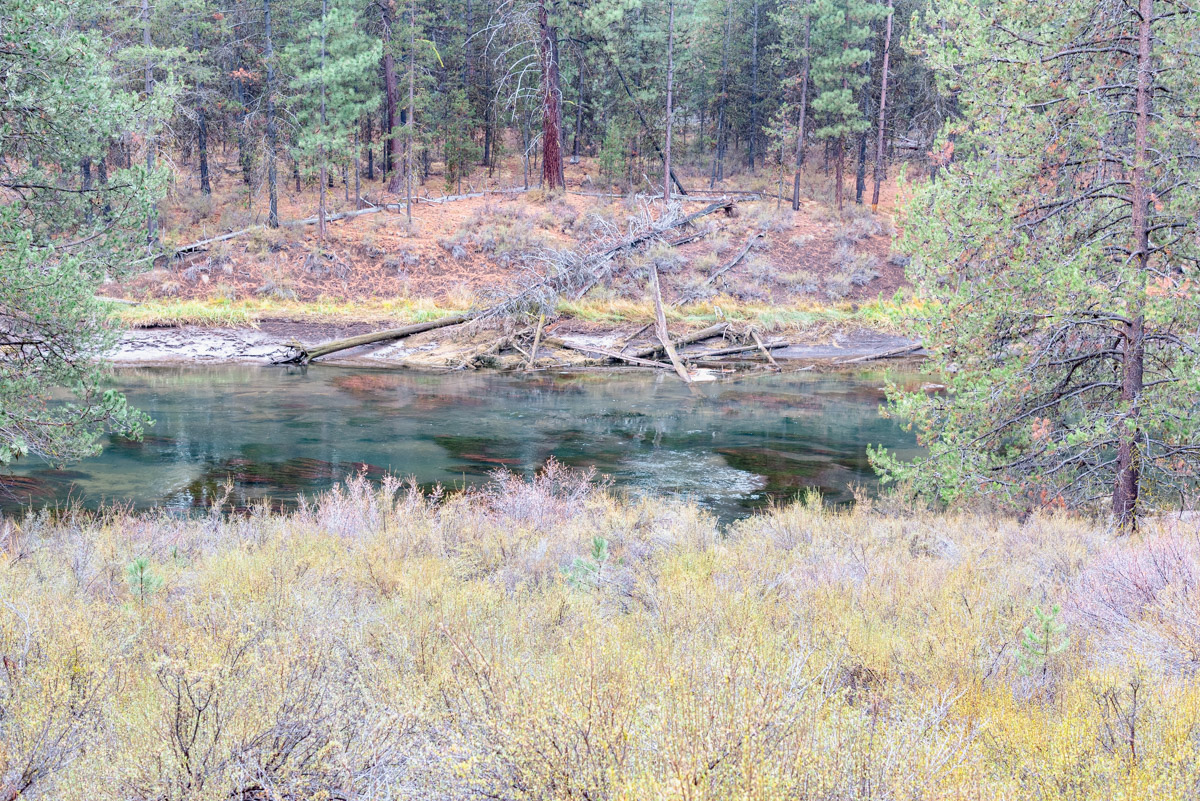
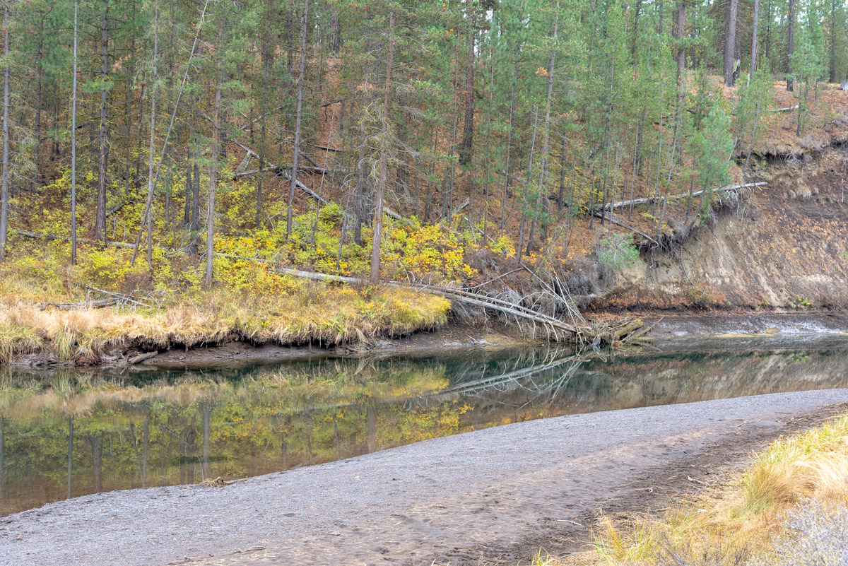
Once along the Deschutes, the trail will soon take another sharp bend to the right. Most of the trail is found along the top of the large and steep cutbanks that make up the river through the park, but there are spots where you can find you r way down to the water if you want to get your feet wet, or throw in an onery kid. No one is judging here. The current can be swift though, so make sure they know how to swim first.
The trail will pass by the South Loop of the campground, bringing the closest to the campers along the trail. But it continues to hug the river and the Deschutes makes another big bend to the north. The trail continues on, pretty much right along the river and is bends and weaves through the park for another 1.5 miles until you cross back over the main entrance road. After passing over the road, simply follow it the last quarter mile back to the McGregor Viewpoint and the parking area.
Directions
To reach LaPine State Park, follow the signs and take State Recreation Rd west off of Highway 97, seven miles north of LaPine or seven miles south of Sunriver. Follow the road for 7.5 miles as it crosses over the Little Deschutes and enters the park. After crossing over a bridge over the Deschutes River, make the first right and follow a dirt road for a quarter of a mile to the McGregor Memorial Viewpoint. The trail leaves from here.
Things to Know
Passes:A $10 parking fee is rquired to play in the park.
Dogs: Allowed but must be on a leash.
Usage: Light.
Bugs: You will likely encounter mosquitoes here in the spring and early summer months.
Open Season: The area can be accessible year round, but don't be surprised if the trails are covered in snow in the winter.