Fryrear Canyon
Distance: 3.4 mile
Elevation Gain: 210 feet.
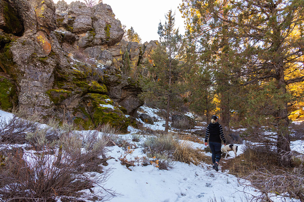
Fryrear Canyon is a little oasis in the high desert and offers hikers in Central Oregon a nice destination when many of the higher elevation trails are snowed out. The canyon is part of the Cline Buttes Recreational Area, which makes up much of the public land located along the triangle between Bend, Redmond, and Sisters. The canyon itself is closed for eagle nesting from February 1 and August 31st, so be sure and plan your hike accordingly.
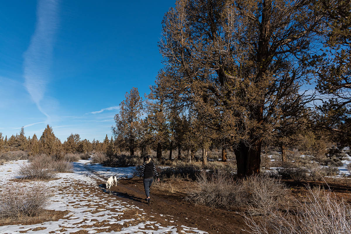
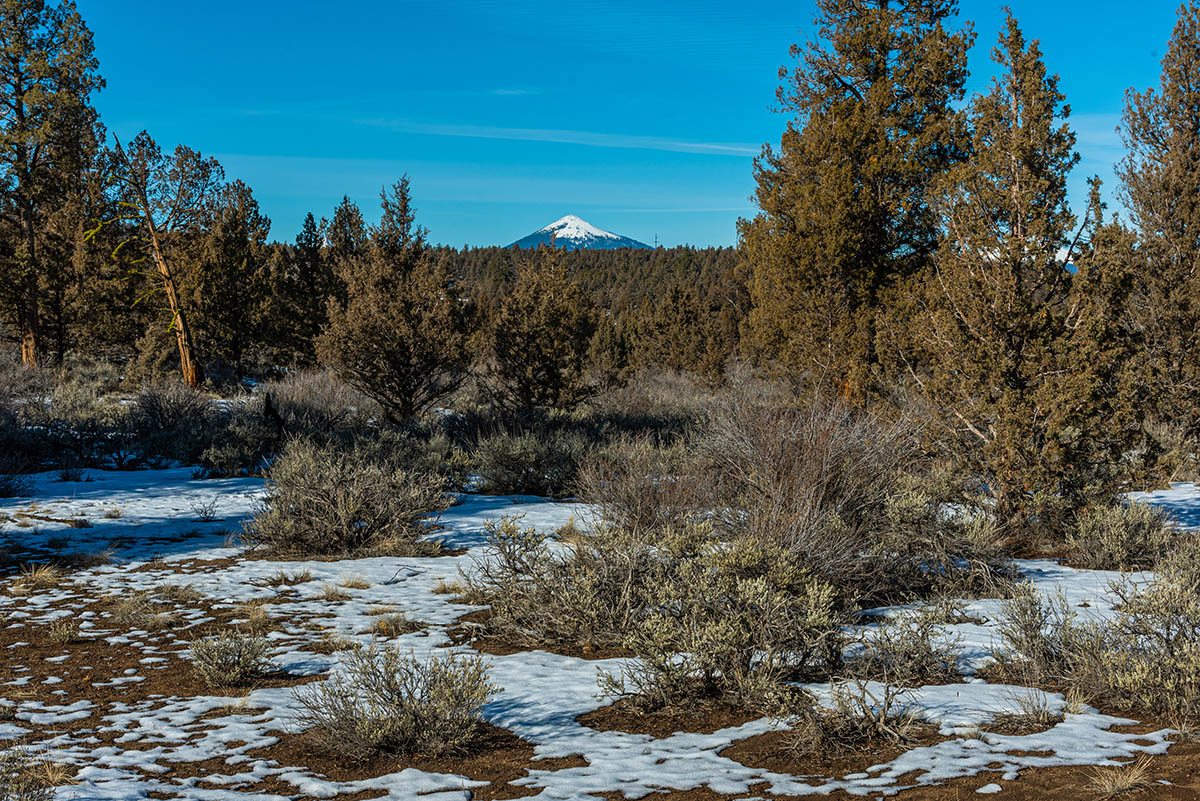
Begin your hike form the Fryrear Trailhead, located off of Fryrear Road, east of Sisters. The trailhead is newly constructed and contains picnic tables, a restroom, and even parking for horse trailers. Head out of the west end of the parking area, near the restroom and through a small gap in the fence. The trail will quickly turn to the left as you begin heading north. Keep your eyes open for some nice views of Mt Jefferson and Black Butte peeking through the junipers.
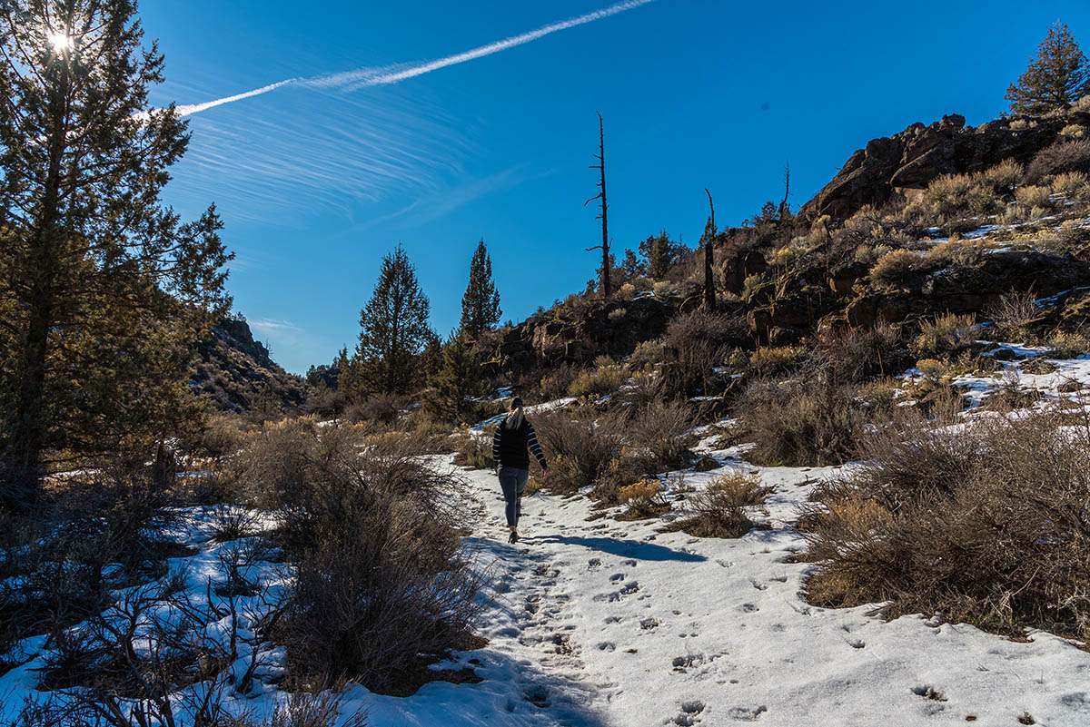
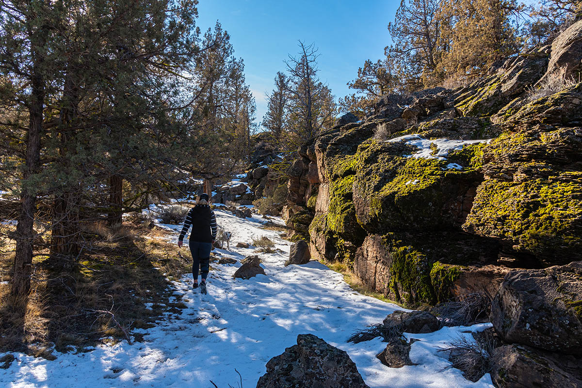
The trail and area can be pretty sandy, especially in the dryer months. If you wait till later in the fall though, moisture will help to pack that sand down but, because of the that very sand, will keep the trail from getting too muddy. The trail follows and old two track road for about half a mile before it turns and starts head east. It’s about another ¾ of a mile due east until you find yourself descending a small slope down into Fryrear Canyon.
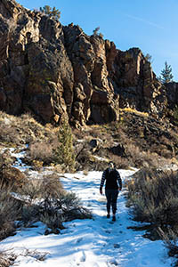
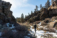
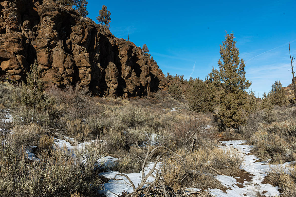
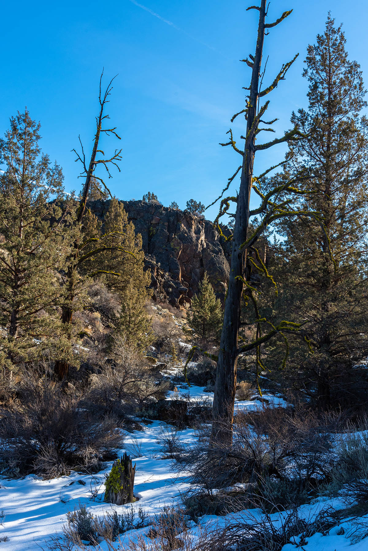
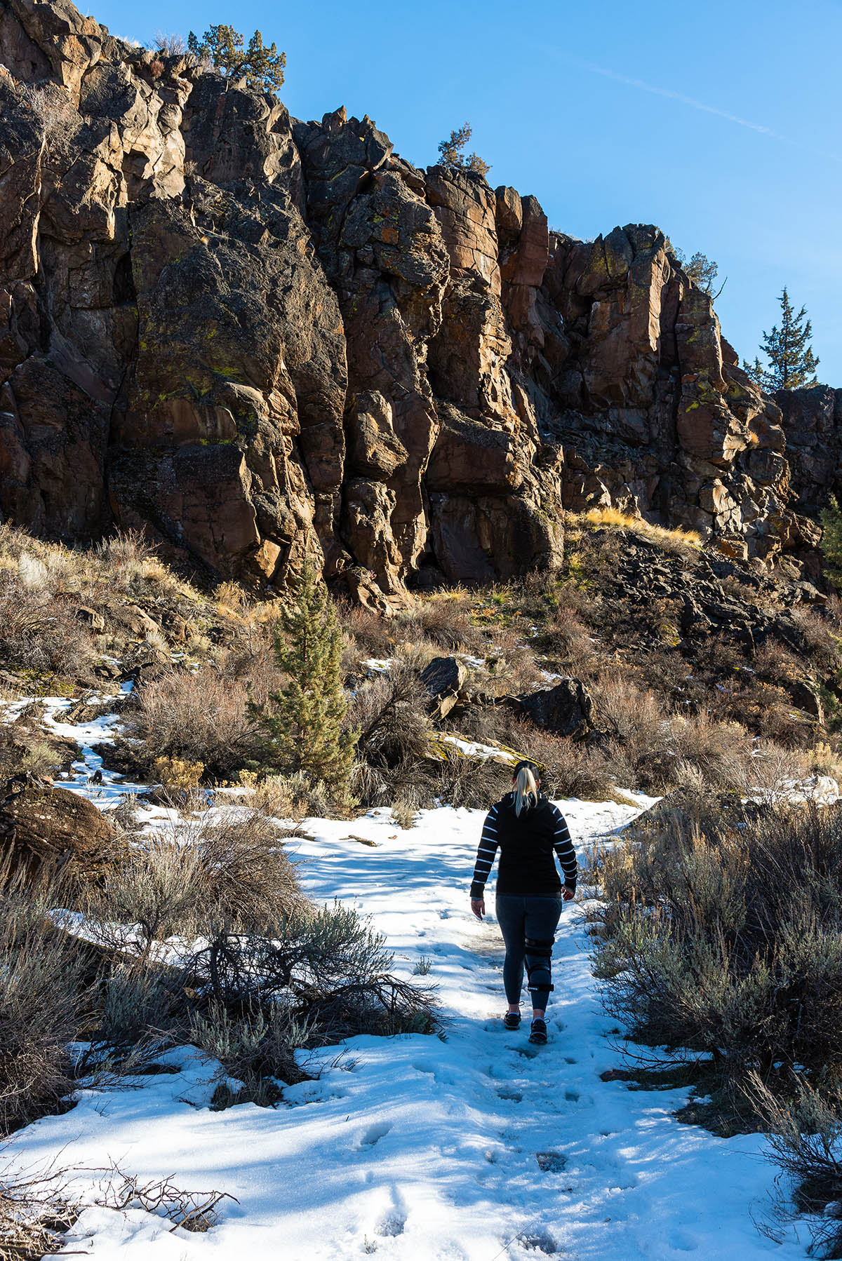
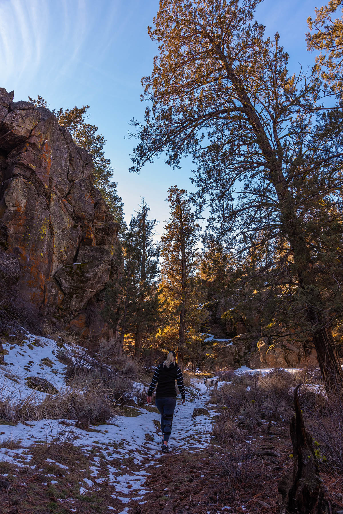
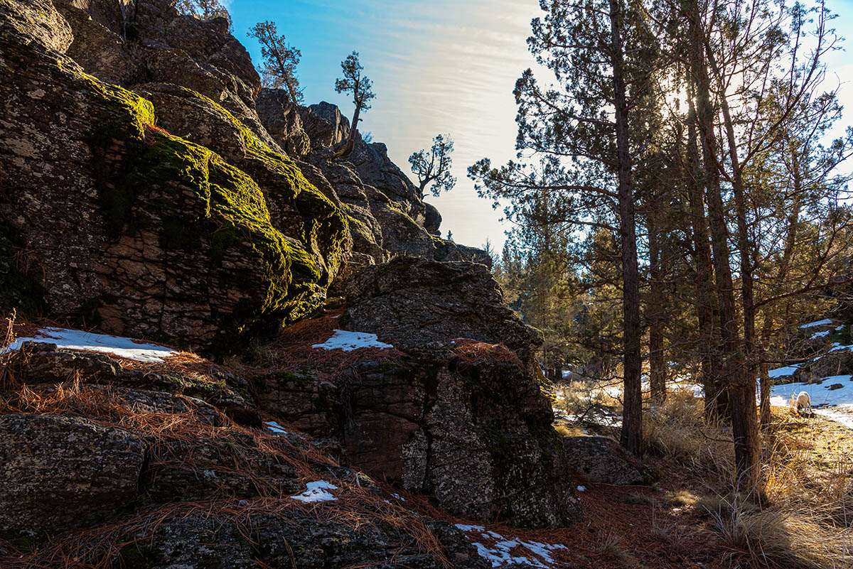
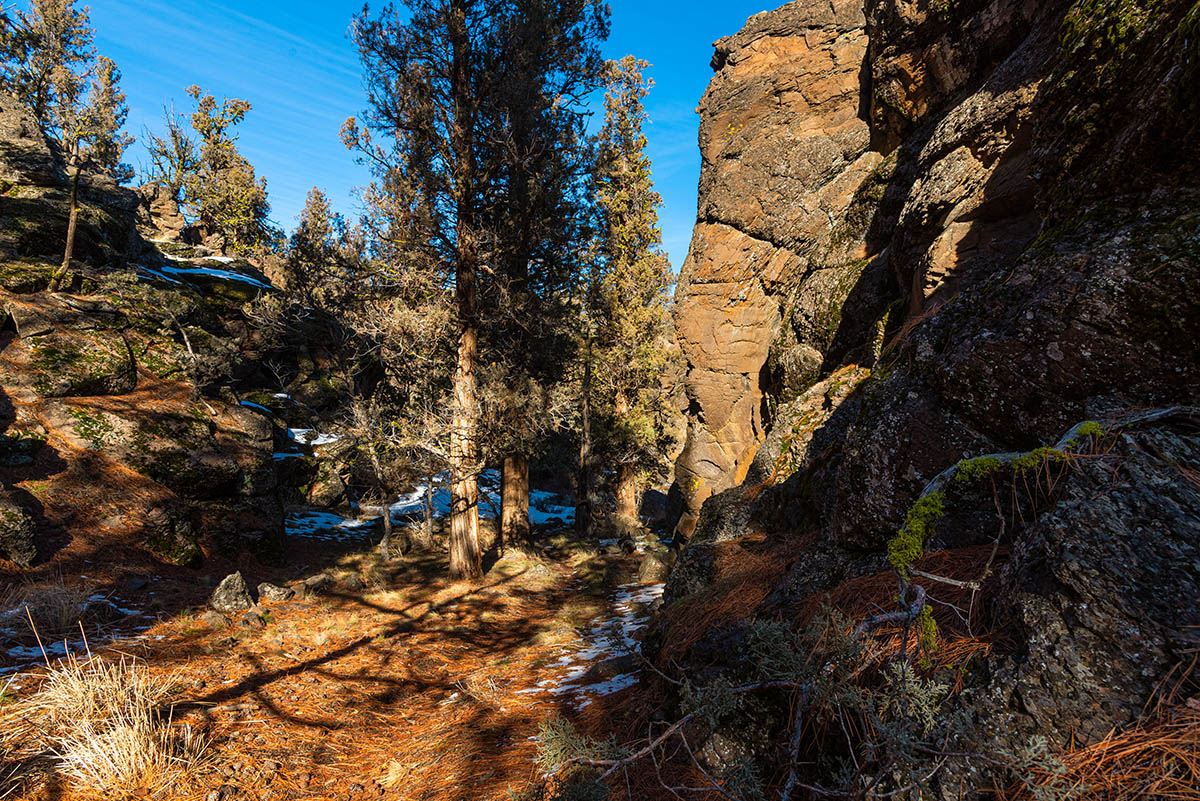
Once in the canyon, head to your right and pass through a gate. As the trail winds its way up the canyon, the walls will begin the become more interesting and vertical and the canyon itself will start to narrow up. About halfway up the canyon, you will almost enter a little oasis in the desert. Some huge Ponderosa Pines will start to show up along the canyon floor and areas of thigh high grasses will be present as well.
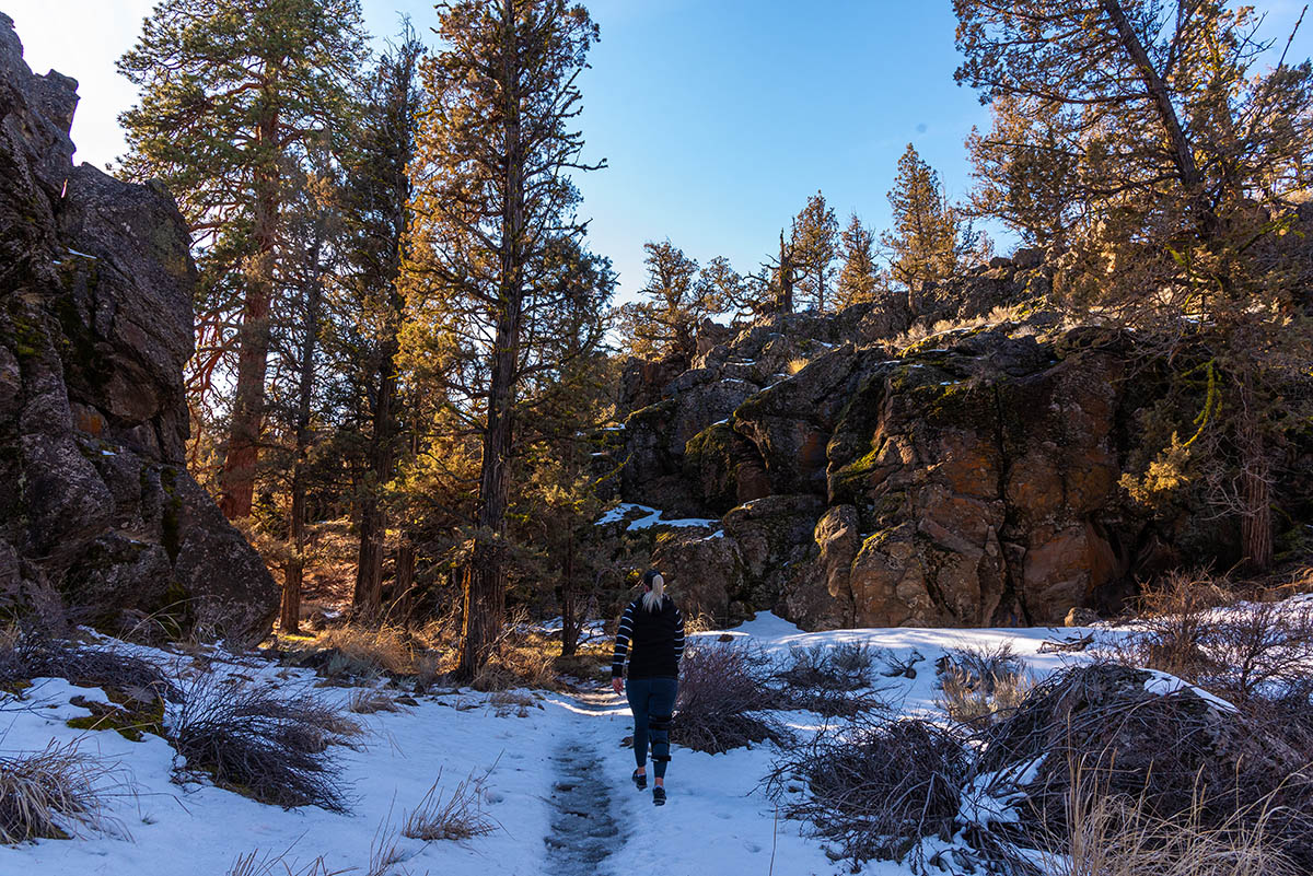
Your journey within the Fryrear canyon will continue for about a mile before the canyon start petering out. Soon, you will just be in a small draw with about 10 foot rock walls along the sides. After about a quarter mile of this, things will start to get a little confusing. You will see a nice trail heading mostly south, to your left, and another trail/road continuing up the draw. Stay on the road/trail up the draw but keep your eyes for a small trail heading up the rocks to your right. If you miss it and stay in the draw, you will soon find yourself at the back end of someone’s shop and surveillance signs and such. You probably shouldn’t go that way so head back, looking for the trail heading up the rocks. You should know it because it’s the only place with the gap in the fence.
Once, up follow the trail as it once again heads through the open juniper and sagebrush. But that doesn’t mean things are easy. There are old roads and user trails going everywhere. The BLM map of the area shows a trail through here, but we couldn’t find an official one. So once out of the canyon, stay on the trail as it heads westward for about 500 feet. Then the trail will start to turn to your left. You don’t want to go that way, so break away for a little off trail adventure. Using offline mapping software, like the Roaming Log App (A little shameless self-promotion) can really help here. Head northwest for about 0.2 miles through the open juniper and you will soon come across another old road/user trail. Follow the trail north for another 0.2 miles until it splits. Head to the left, towards the sound fo traffic, and follow it the final third of a mile back to the trailhead.
Directions
To reach the Fryrear Trailhead, head either 5.4 miles of Sisters or 13 miles west of Redmond on Highway 126. Head south onto Fryrear Road and continue for 3.2 miles. The trailhead will be on your right and is well marked.
From Bend, head northwest on Highway 20 for 12.8 miles before making a right onto Fryrear Road. The trailhead will be 2.3 miles ahead and on your right.
Things to Know
Passes: No passes are requried.
Dogs: Allowed and must be on least or under voice command at all times.
Usage: Light
Open Season: The canyon is closed for raptor nesting between February 1 and August 31st.