Moraine Lake
Distance: 5.2 miles.
Elevation Gain: 1,500 feet.
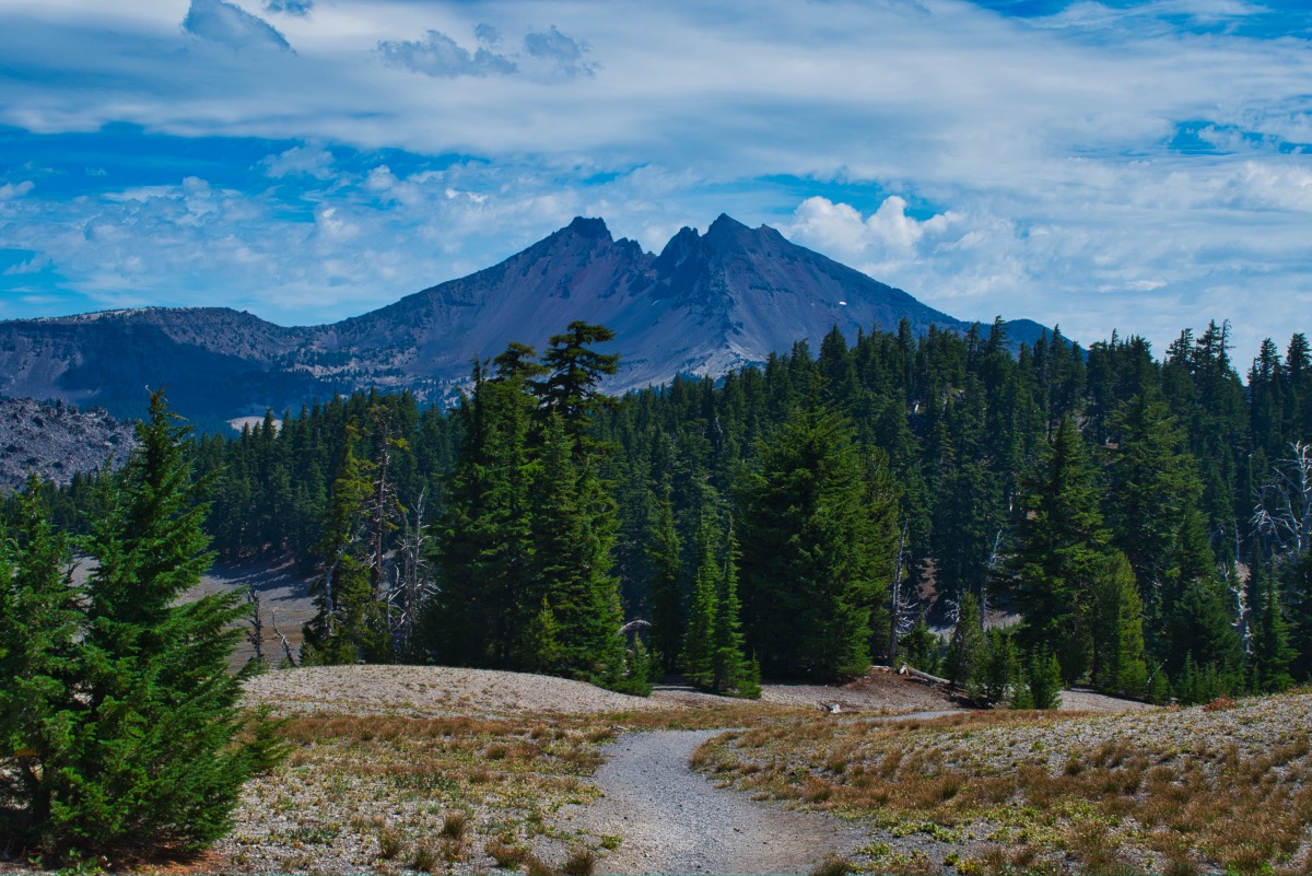
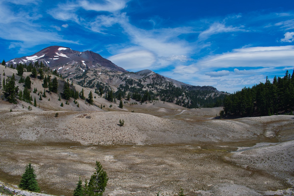
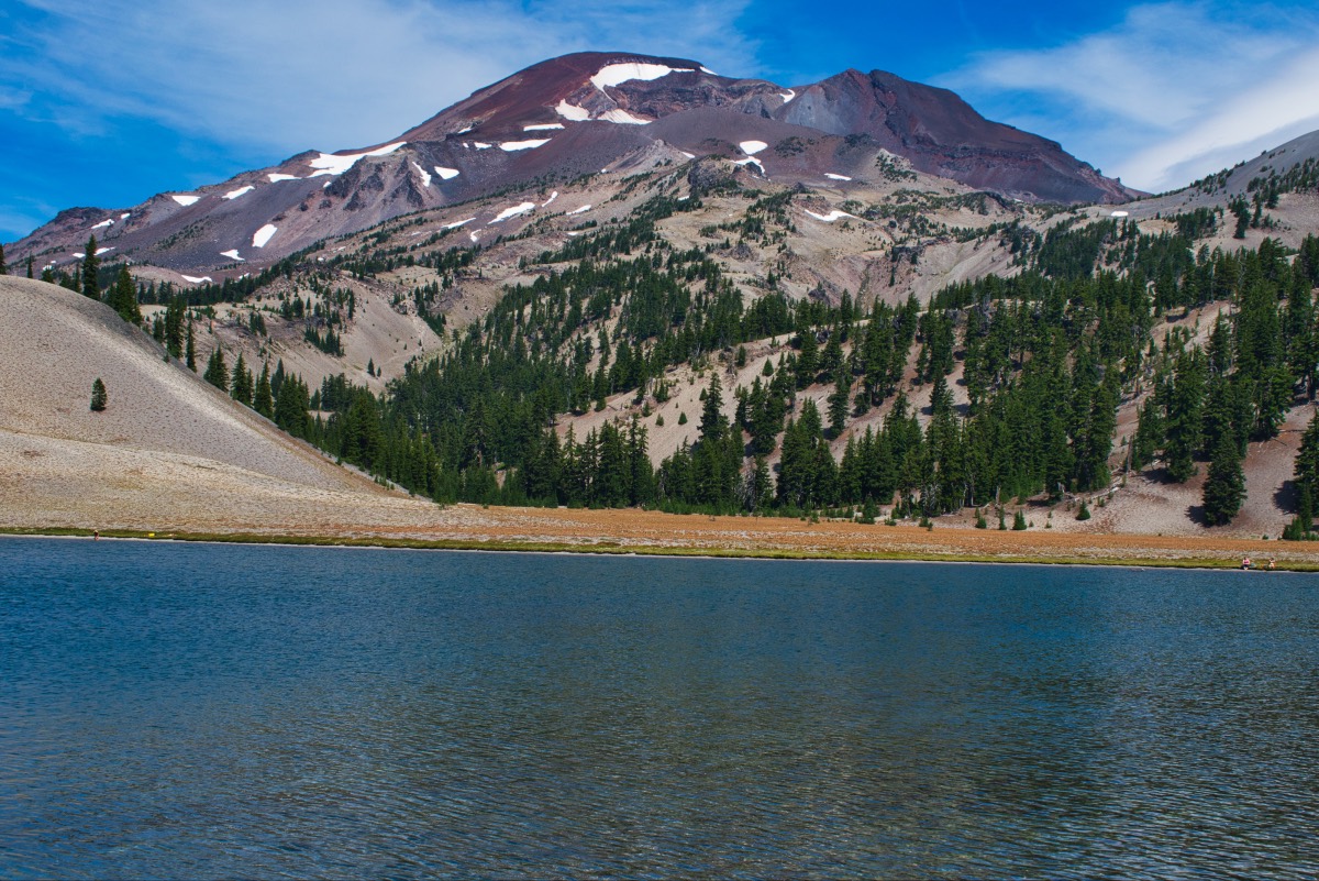
Moraine Lake lies right at the base of South Sister and makes for an excellent destination for people who want to experience the tallest of the sisters up close but don’t actually want to climb it. The views of both South Sister and Broken Top are outstanding and make this a worthwhile destination all on its own.
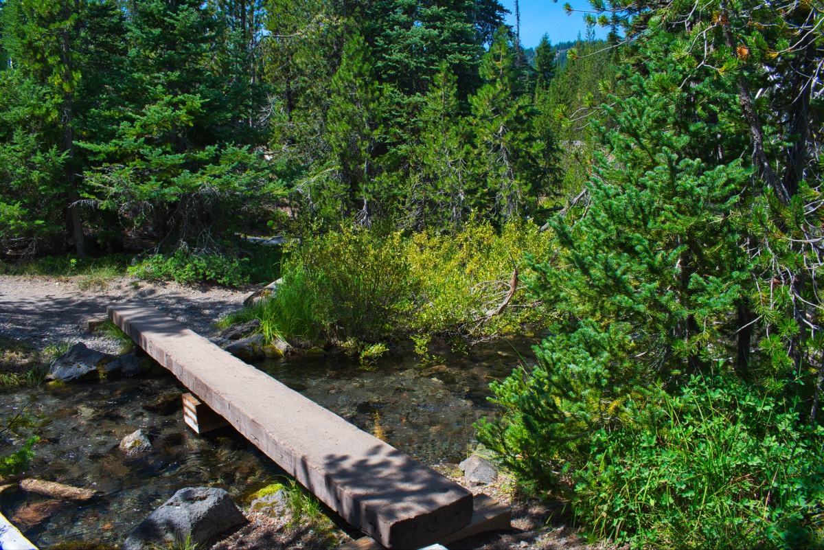
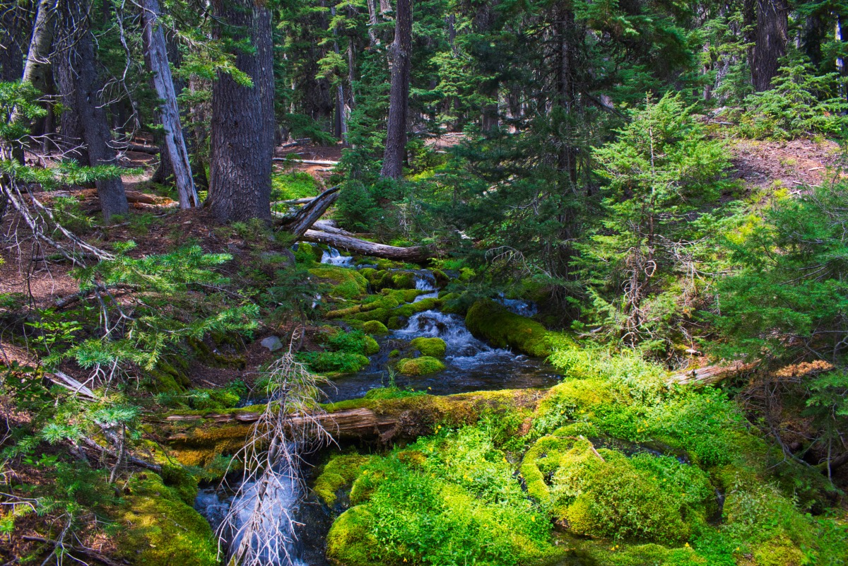
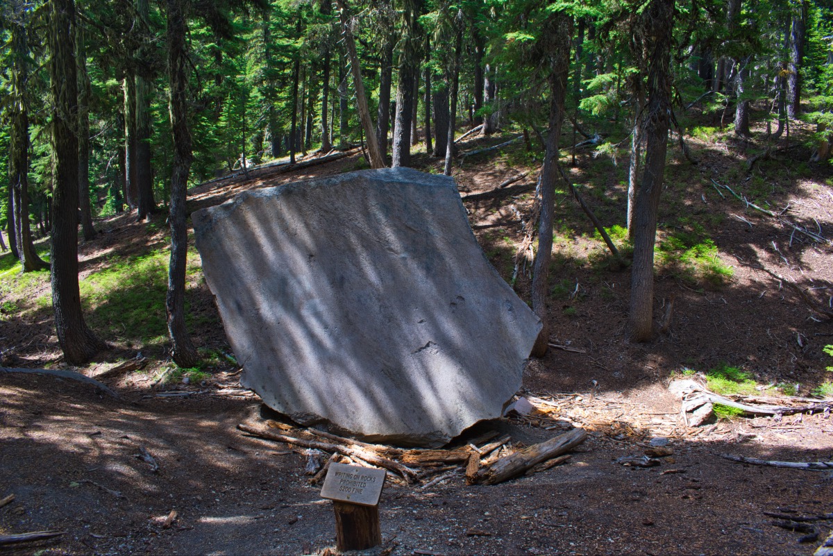
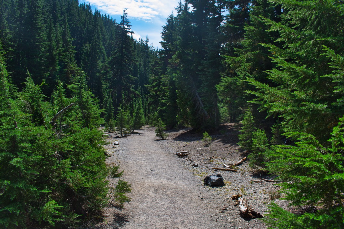
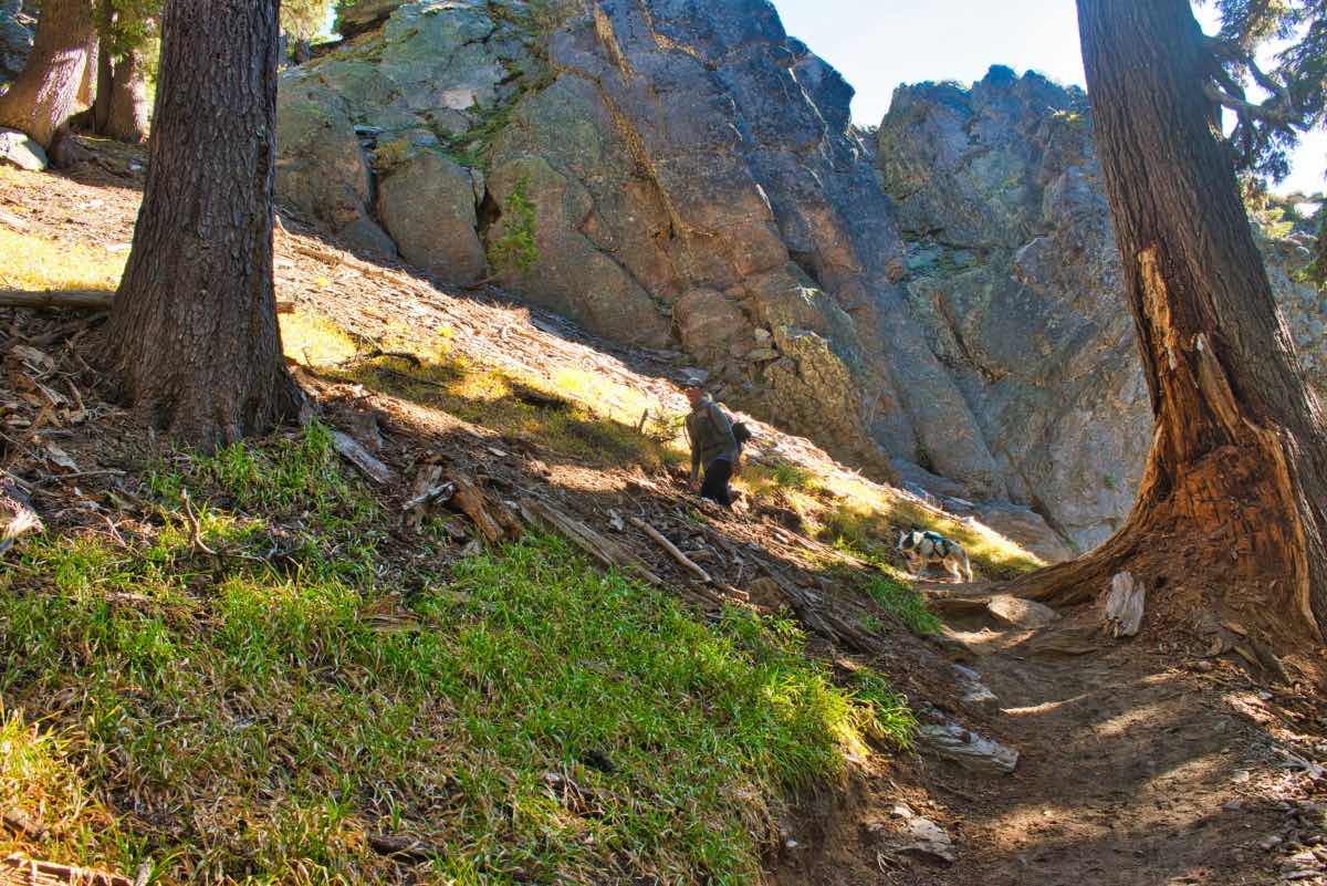
The hike begins from the Devils Lake trailhead just past Mt Bachelor and it doesn’t mess around for long. After you cross over the highway, the trail quickly begins to climb through a forest of thick hemlock. This valley ascends 1,500 feet in about a mile and a half. You will know you are about halfway up when see a giant boulder laying in the middle of the draw with many decades worth of graffiti/carvings covering it. As you near the end of the valley, you will climb a couple of switchbacks as you ascend out of the headwall of the canyon to the flats at the base of the mountain.
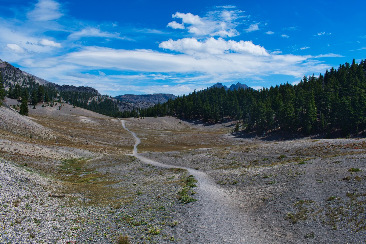
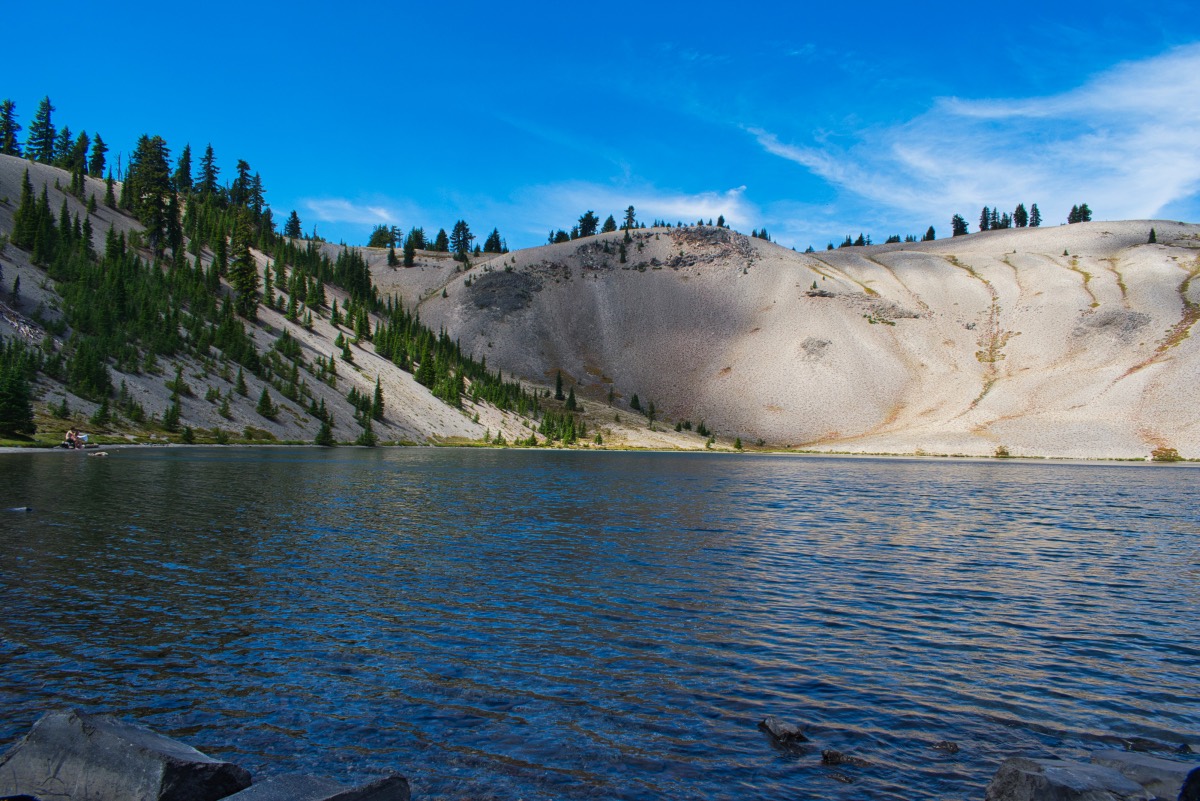
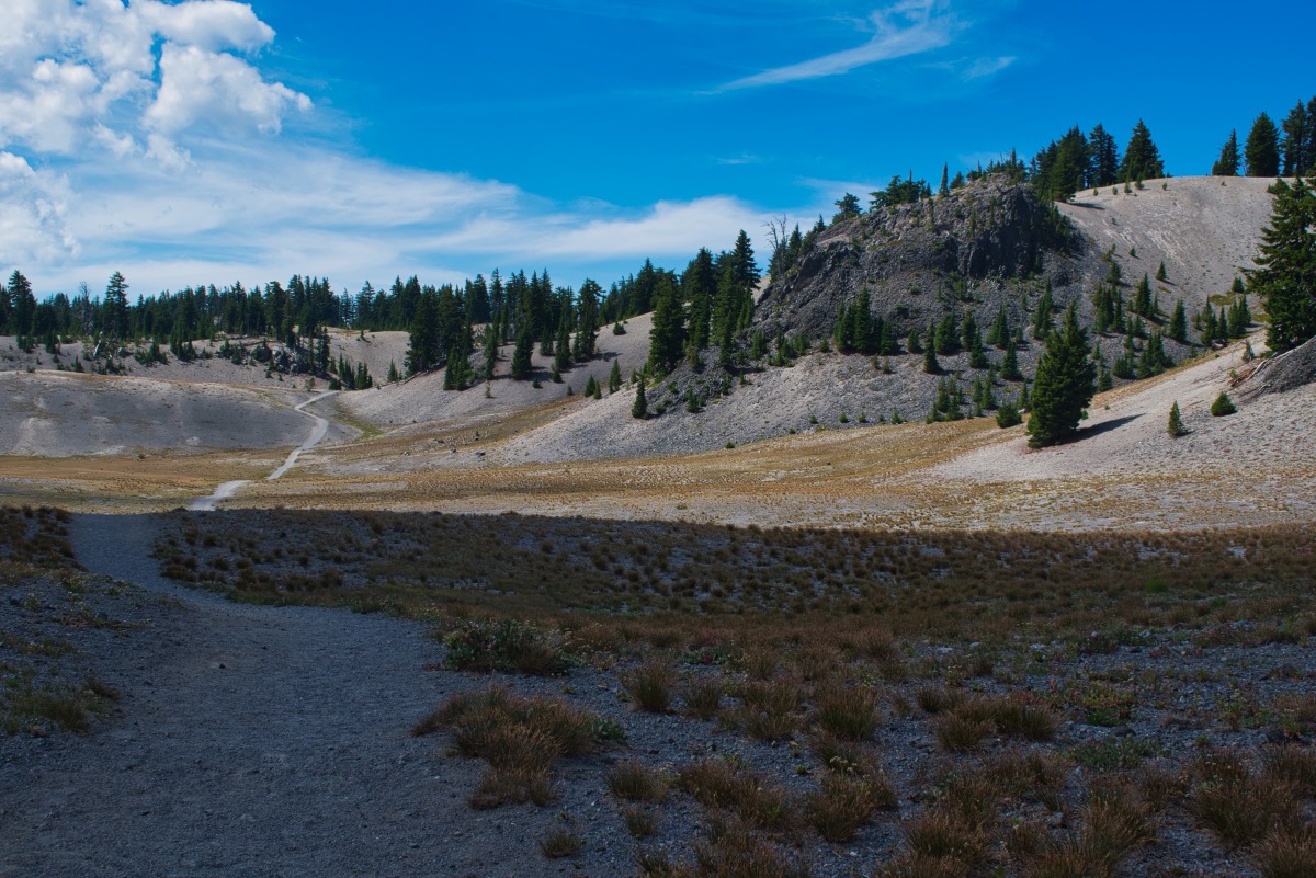
Once you pass out of the canyon, you get for first good view of South Sister, and it is impressive. The mountain seems to loom right before you and you can even make out the climbers trail snaking its way up to the summit. Pretty quickly after reaching the plateau, you will reach an intersection and want to head down to your right. You will then slowly descend over the next 3/4 of a mile as you drop into the basin housing Moraine Lake. Once there, bask on it's sandy shores and enjoy the views while kicking your toes in the water.
Directions
To reach the Devil’s Lake trailhead, head south on Century Drive in Bend towards Mt Bachelor. Remain on the highway past the mountain for about 7 miles until you reach the brilliant turquoise water of Devil’s Lake. The parking area is just past the lake on the left side of the road.
Things to Know
Passes: A Central Cascades Wilderness Permit is required to access this area between June 15th and October 15th. The permits will be available from recreation.gov and will go on sale in early April. A Northwest Forest Pass is also required to park at this trailhead.
Dogs: Must be leashed from July 15th through September 15th.
Usage: HeavyOpen Season: The Cascades Lake Highway usually opens around Memorial Day. There will likely be snow in the valley and around with lake well into July.
Bugs: Mosquitos can be bad during the melt season, usually June-July, primarily in the valley leading up to the lake, then will mostly clear up moving into August.


