Opal Pool
This trail is currently closed. Much of the Opal Creek Wilderness and Jawbone Flats burned in the Beachie Creek fire during the summer of 2020. It may remain closed for some time.
Distance: 7.3 miles.
Elevation Gain: 365 feet.
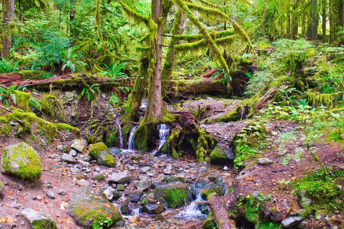
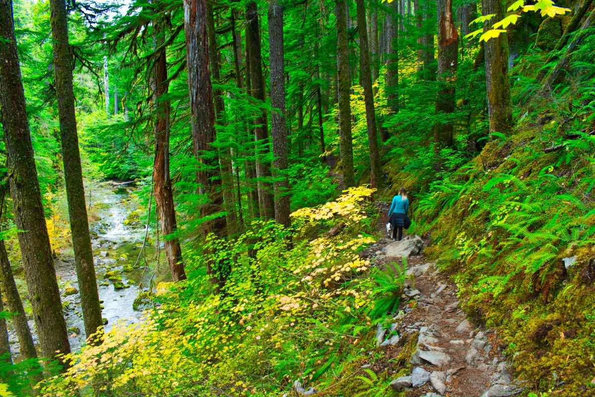
Opal Pool is located within a beautiful old growth forest in the Opal Creek Wilderness. Some of the trees here have been dated to be over 1,000 years old. The trail can be packed in the summer, with visitors taking advantage of the cold water on a hot day with some of the state’s best swimming holes. Pools below Sawmill Falls, sliding down Slide Falls, and jumping off the 30 foot cliffs into Opal Pool itself are all popular pastimes. The autumn can be a specular time to visit as well, as the leaves change and the flows over the falls increase with the fall rains.
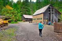
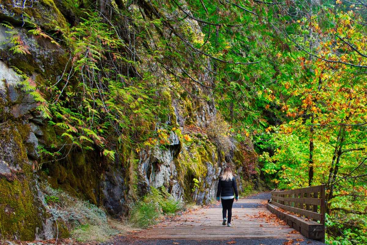
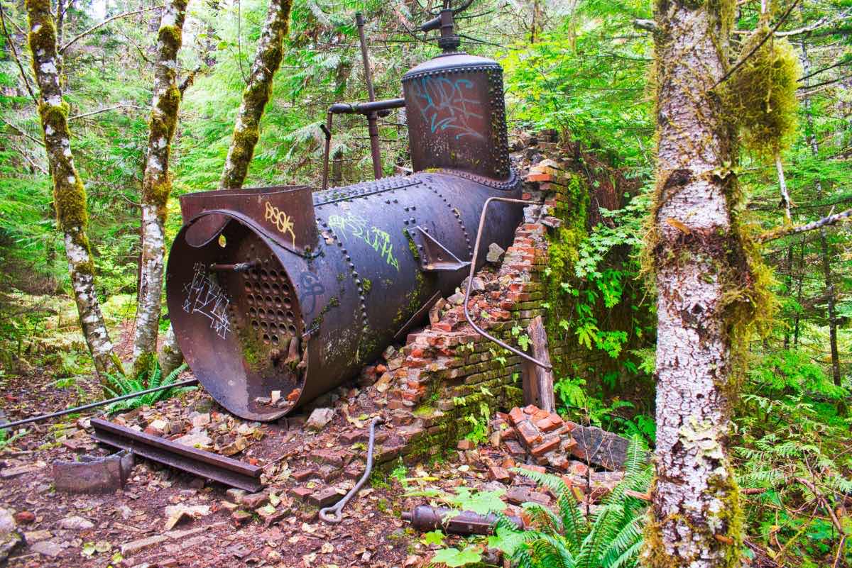
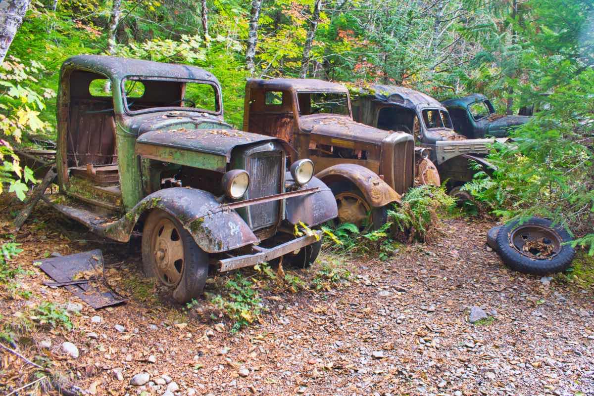
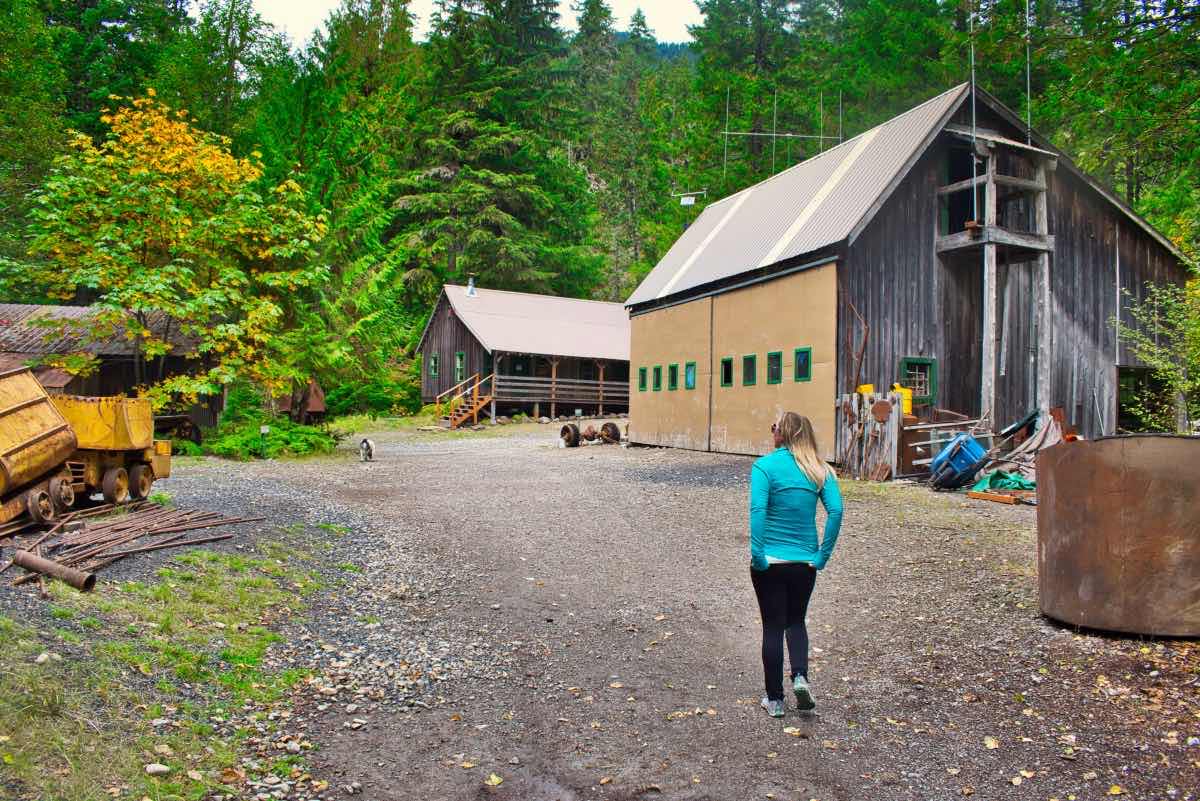
The trail actually begins as the road the Jawbone Flats, a historic town which is now part of a private environmental education center and outdoor museum. Head up the road along the Little North Santiam River, passing over Gold Creek and a series of half bridges built into the cliff face. At about 2 miles, look for the remnants of the old Merten Mill, where various pieces of equipment still lay abandoned.
At about 2.5 miles, the Kopetski Trail reads to the right over a footbridge over the Little North Santiam. This trail then continues up the river on the southern bank as it works its way to Opal Pool. About ½ mile up this trail, watch for a little side trail dropping down to Slide Falls. It’s roughly 1.25 miles from where you crossed the bridge until you reach beautiful Opal Pool.
Opal Pool is situated right below a very narrow chasm and below Opal Pool Falls. The pool can be viewed from many different locations, but the best are located along the bank before you cross the bridge and on the bridge itself. Once you’ve had your fill, continue over the bridge and head to your left, towards Jawbone Flats. There are a number of cool, old mining relics here, but the buildings are occupied private property, so be respectful. Once in town, just follow the gravel road a little over 3 miles back to the trailhead.
Directions
Take Highway 22, between Salem and Sisters until you reach the town of Gates, a small community west of Detroit Lake. Take Gates Hill Road north for about 4 miles until you reach the Elkhorn Valley Golf Course and the intersection with the North Fork Road. Make a right onto North Fork Road and follow the windy road for about 11 miles until you reach the trailhead. Be aware that because of significant crowding and vandalism, the Forest Service is turning away vehicles once the parking area is full. So it pays to be early on busy, summer weekends.
Things to Know
Passes: Northwest Forest Pass is required at this trailhead.
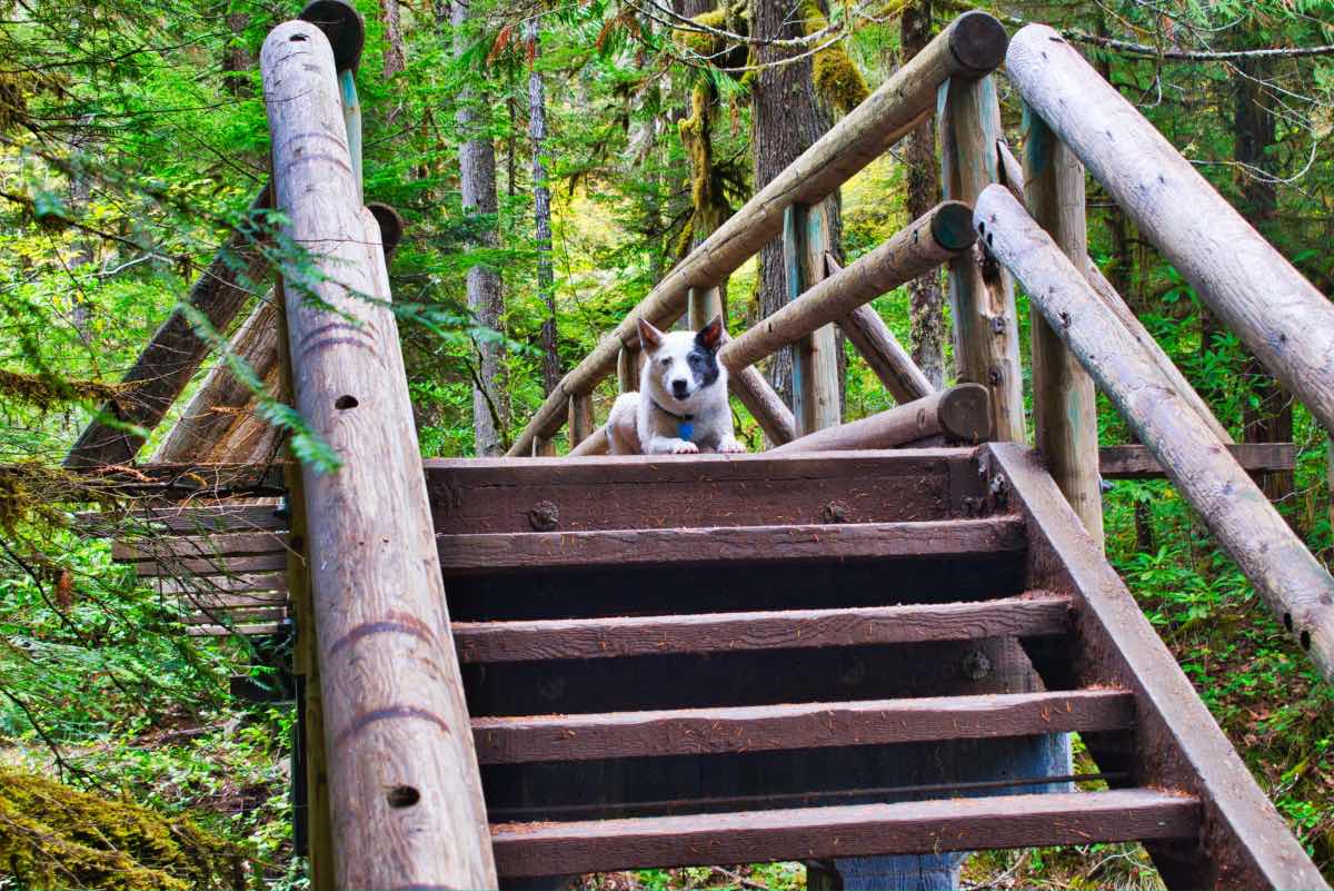
Dogs: Allowed and must be on leash or under voice command at all times.
Usage: Heavy
Open Season: The area is open year round, but the potential for inpassable snowpack is present. April through November is usually safe.
Parking: There is a strict 120 vehicle capacity at the trailhead. Only park at designated spots to allow for emergency vehicle access. Parking area can fill up, especially during summer weekends.