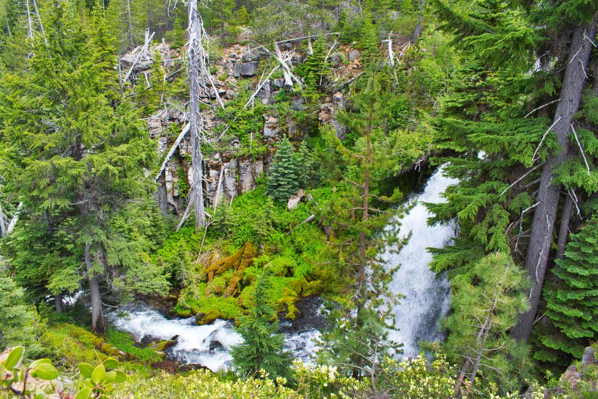
Tumalo Falls Loop
Length: 7.2 miles
Elevation Gain: 1,130 feet.
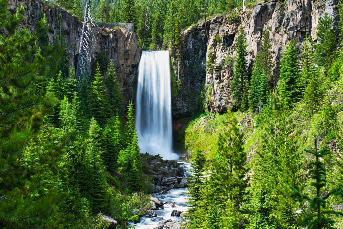
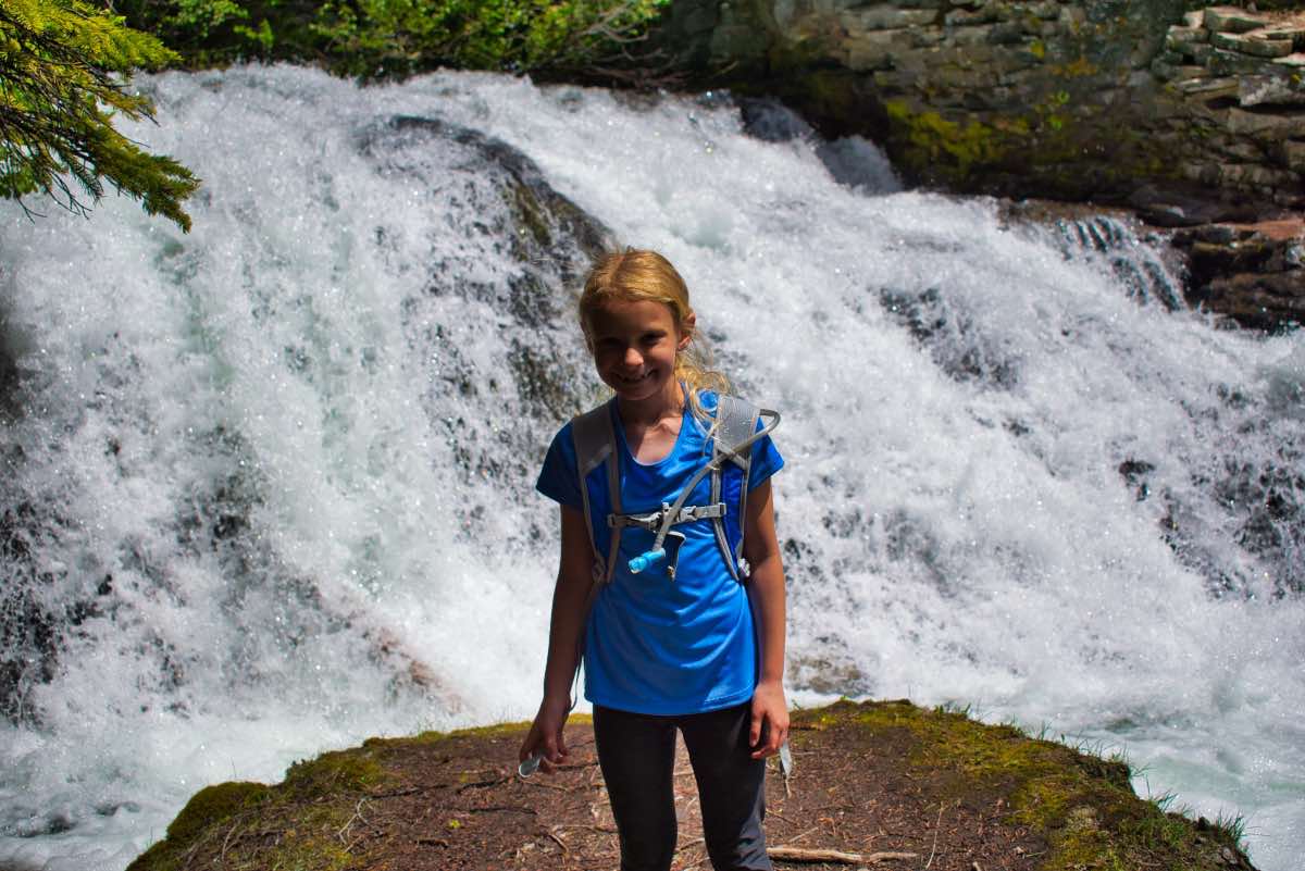
Tumalo Falls is probably the tallest, easily viewable waterfall near Bend, and the view of the spectacular falls from the lower viewpoint makes the drive up Skyliner Road and the effort trying to find somewhere to park worth it all by itself. However, there is so much more to see beyond this falls and few people take full advantage of it. Don’t be a sheep, oohing and aahhing from the first couple of viewpoints. Get out, have an adventure, and witness the dozen or so other waterfalls along the trail just outside the Three Sisters Wilderness Area.
The trailhead for Tumalo Falls is easy to find, but parking can be an adventure all in itself. The parking area at the actual trailhead is large enough to hold maybe a 12-15 vehicles and you have to drive over a one lane bridge to get there. Once over, there is barely room to turn around if the parking lot is full. But everybody has to check the actual parking lot to make sure there isn’t a spot magically opening up so there is nearly constant traffic into the parking lot, turning around, and then heading back over that one lane bridge. You will find yourself fighting people trying to come over to see if you or the five people behind you just happened to miss that elusive spot that they know they are going to nab. You will probably end up parking along the south side of the road, leading to the trailhead, just as a fair warning.
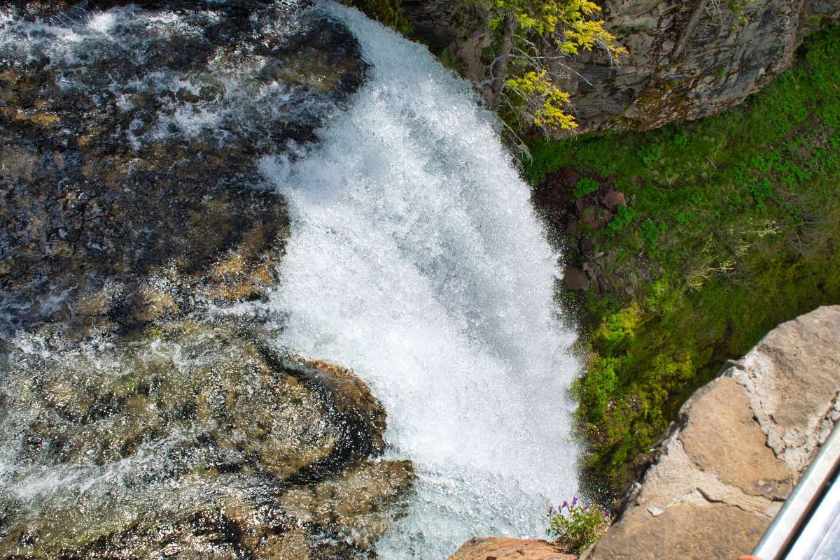
Once you reach the trailhead, a short trail leads to an amazing viewpoint of the 89 foot Tumalo Falls right off the bat. There are also some nice kiosks explaining how the Bridge Creek Fire of 1979 devastated the area and how subsequent salvage logging further degraded the landscape. Once you’re done staring at the falls and reading the stories, head out of the left side of the parking lot and begin hiking up towards the top of the falls. There is another nice viewing platform that lets you peer right over the edge of Tumalo Falls.
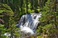
After leaving Tumalo Falls, the trail enters a forest of lodgepole pine, mountain hemlock, and Engelman Spruce as you head up Tumalo Creek. You will reach Double Falls only a mile from the trailhead. Double Falls drops 23 and then 29 feet over a couple of falls. Keep your eyes open as you pass it though because Upper Double Falls is just as impressive and is located in less than a tenth of a mile.
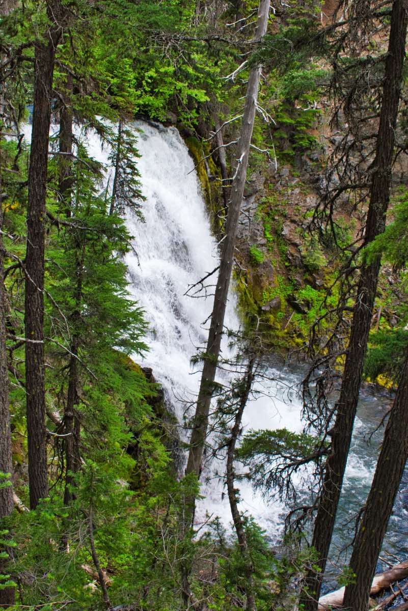
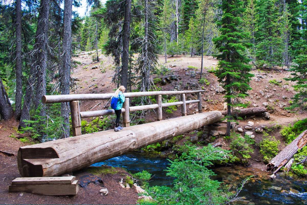
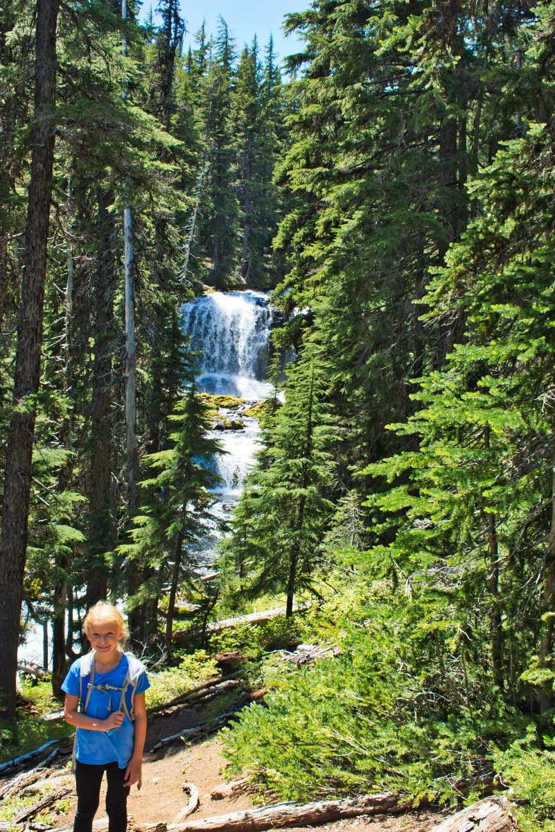
You will encounter your fourth major waterfall of the hike in just a little over 2 miles from the trailhead. Here, Middle Tumalo Falls drops 43 feet. This one isn’t as easy to get a good vantage point of, but the view through the trees is still impressive. About a half mile further up the trail you will come to a wooden bridge fastened from one, big log passing over the Middle Fork of Tumalo Creek. Once you cross the log, you will find yourself in a wonderland of falls, with the North Fork crashing down on your right and the Middle Fork on your left.
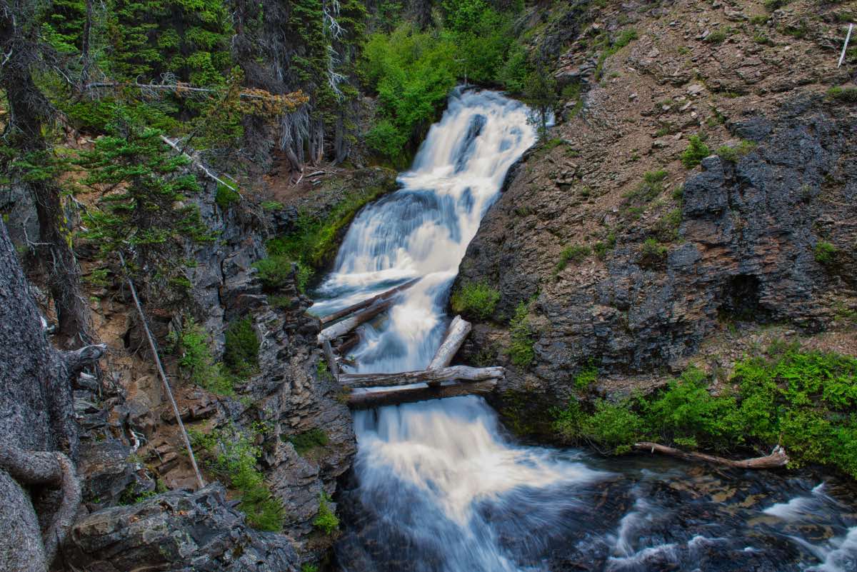
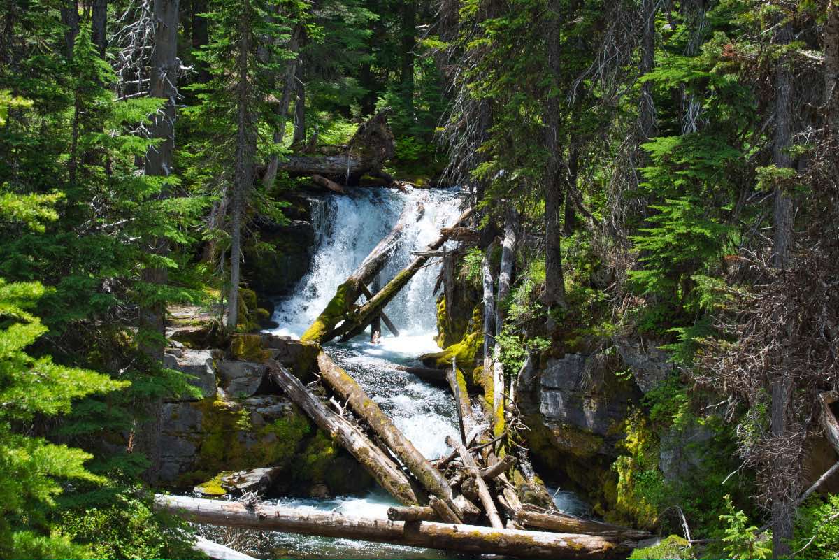
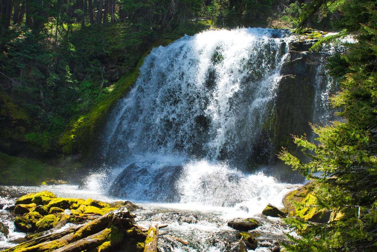
Less than a quarter mile up the trail, you will come to Lower North Fork Falls. This is another falls that is hard to get a view of, but the 43 foot drop makes for quite the impressive roar. You then head to the South back towards the Middle Fork just in time to see a pretty, unnamed falls. Two tenths of a mile further and you can gaze upon Lower Middle Fork Falls (all these names are really original). This falls drops 15 feet over a 30 foot wide ledge, making for a pretty viewing. Middle Fork Tumalo Falls, the final waterfall on Tumalo Creek is still just a quarter mile ahead. This falls drops 65 feet over two tiered plunges. There is a nice viewpoint looking at the falls straight on as you approach it and a side trail will take you to another viewpoint right near the base of the first tier.
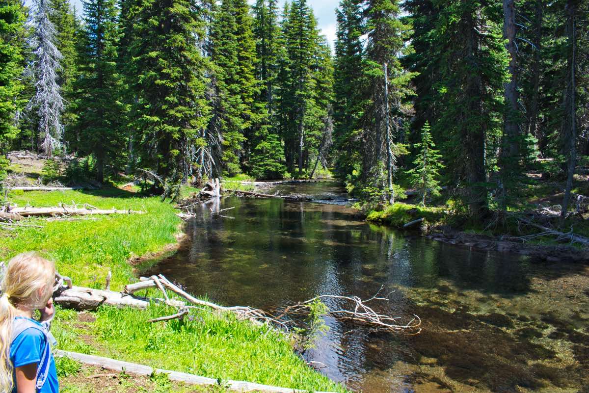
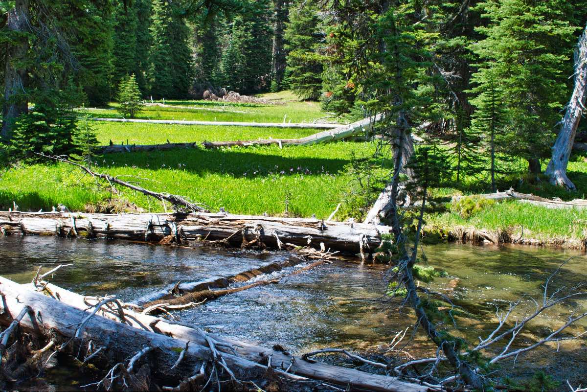
After Middle Tumalo Falls, there is less than half a mile to go before you reach the junction with the Swampy Lakes Trail. Head towards the left and begin making your return trek home. After 0.4 miles, you will encounter the Middle Fork of Tumalo Creek again, and you will need to get across it. There is no bridge at this location, so you could wade across if you like, or, if you have a good sense of balance, you can usually find a log upstream from the trail that you can walk across.
Once you cross the creek, you have roughly two miles of walking through the woods until you reach Bridge Creek. There are a couple of spots that offer some pretty vistas down the canyon along this stretch. You will also officially pass into the Bridge Creek watershed along this stretch, which is where the City of Bend gets a lot of its water. No dogs are allowed on this part of the trail, so hopefully you didn’t bring yours. Once you reach Bridge Creek, you are only 1.25 miles away from the trailhead. But don’t hurry too fast, or you will miss 25 foot tall Bridge Creek Falls along the way. Once you reconnect with the Tumalo Falls trail, head to the right and make your way back to the trailhead.
Directions
From the westside of Bend, at the traffic circle on Galveston and 14th, head west on Skyliners Road. Follow Skyliners Road for 9.4 miles until you reach a gate and a bridge heading over Tumalo Creek. The road switches to gravel as you bear left after going over the bridge. Drive for 2.6 miles until you reach the trailhead.
Things to Know
Passes: Northwest Forest Pass is required at this trailhead.
Dogs: Dogs are not allowed in the Bridge Creek watershed, on the second half of this hike.
Usage: Heavy
Open Season: The Forest Service will open the gate on the road to the trailhead when the road is free from snow, usually late April to May. Expect to find snow on the trail well into June.
Bugs: Mosquitos can be bad during the melt season, usually June-July, then will mostly clear up moving into August.


