Browder Ridge via Gate Creek
Distance: 8.1 miles
Elevation Gain: 2,200 feet.
Browder Ridge is one of the prominent peaks of the Old Cascades, a series of volcanoes located near Tombstone Pass and stretching up towards Detroit. These volcanoes range from 7 to 14 million years old which allows for the perfect mix of beautiful flora and fauna but still maintain their rocky and steep topography. These mountains can offer some of the most spectacular wildflower hikes in Oregon, if you time your trip right, but some can also be quite crowded. Browder Ridge is long and more difficult than many of its neighboring hikes, and thus, must less traveled.
You can climb Browder Ridge from either the west or the east side. The western trail is longer and doesn’t offer as many views, so the eastern trailhead at Gate Creek is generally the preferred starting place. As you hop out of your car and get ready to begin your hike, you may want to stretch a little. Get those ol’ legs limber because this trail doesn’t mess around with niceties like giving a few hundred feet to warm up. Just a heads up.
The actual trail can be a little tricky to find, as it isn’t marked off the road. From the parking area, head down towards Gate Creek and look for the trail heading through the brush to your left. You will know you’re on the right path after a 100 feet or so when you pass a kiosk and a trail sign. Then get ready to climb.
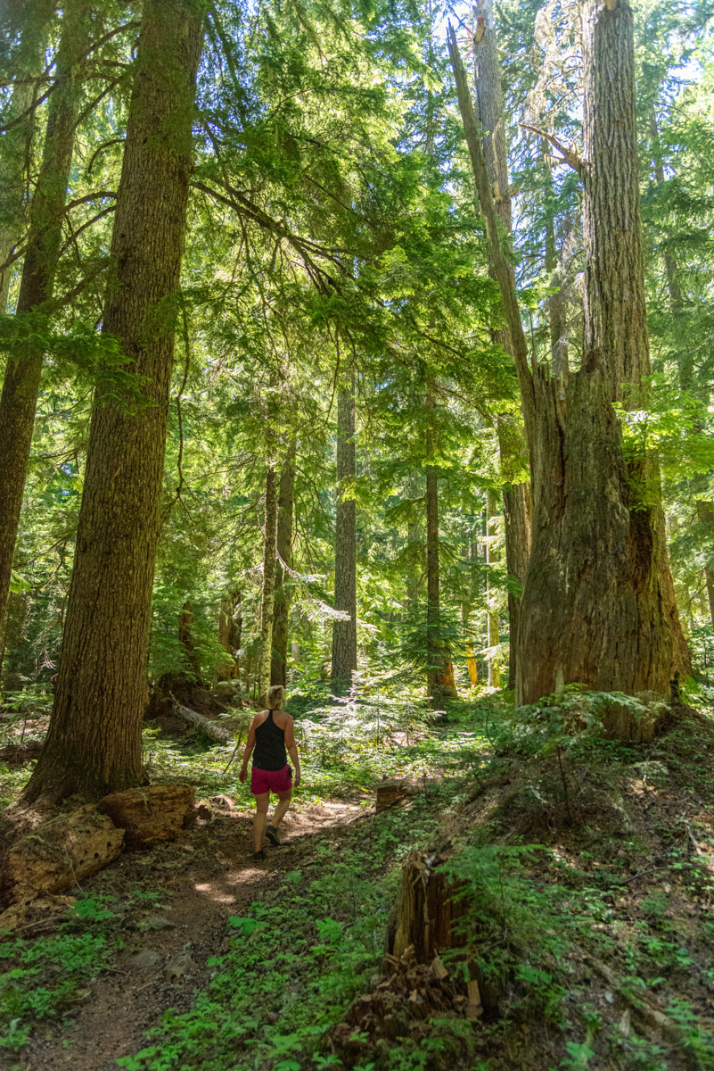
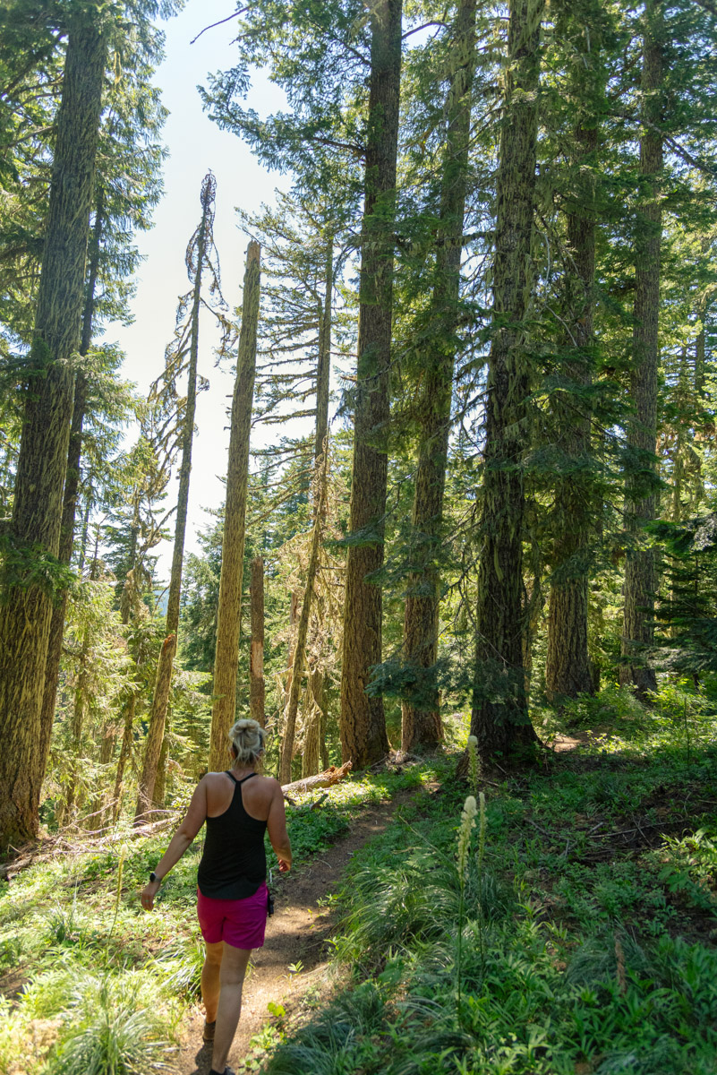
The trail begins off with a series of swithcbacks as you head straight up the steep side Browder Ridge. The forest is full of huge, old growth timber and the shade is defiantly welcome as you climb. After ½ of a mile the climb will ease some as you reach the shoulder of the ridge, almost 500 feet higher than the trailhead, but don’t expect things to flatten out yet.
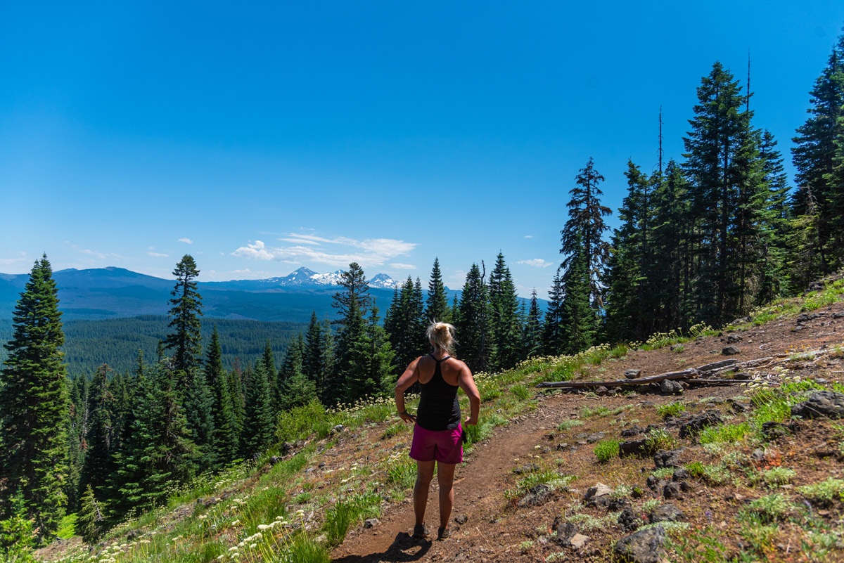
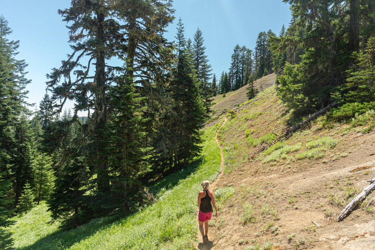
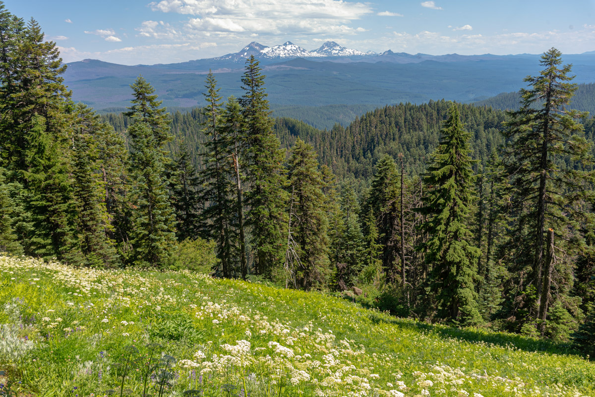
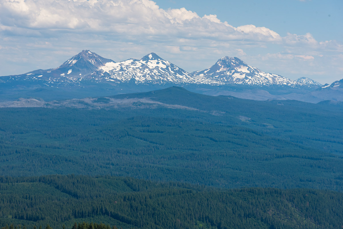
One mile into the hike you will reach a beautiful viewpoint as you push your way out of the trees. With the exposed hillside, wildflowers will begin to pop up and the Three Sisters dominate the skyline ahead of you. The trail steepens again as you march up another 400 feet in half a mile to reach a more proper ridgetop. But take heart, things will ease a little bit from here.
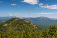
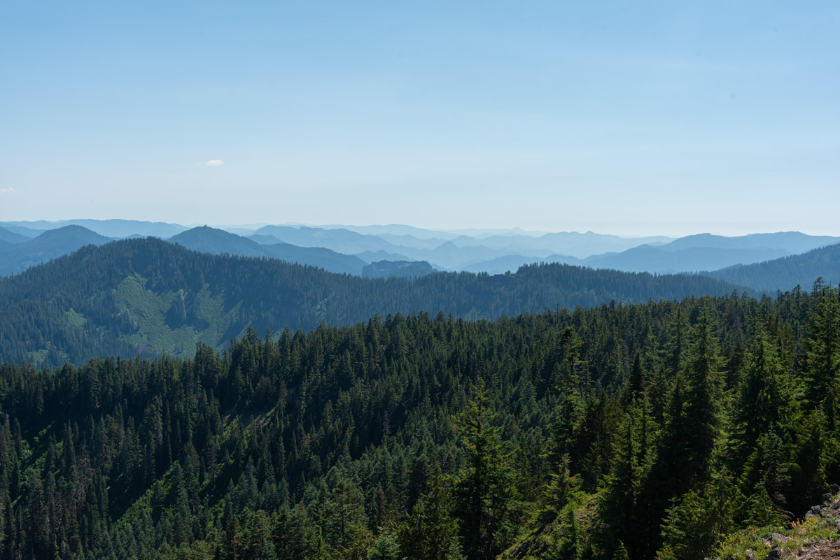
Once on the ridge, there will be nice transitions between shaded, old growth timber and open, flower filled meadows. It really help add diversity to the hike and keep things interesting as you pass through, hot, humid, sun drench and wild flower filled meadows and then get to cool back off in the cool shade of the trees. Views also become ample as the tree part, offering vistas of the Three Sisters to the east, the endless hills of the Old Cascades to the south, and the rocky summit of Browder Ridge to the north.
Just under three miles into the hike, you will reach the junction with the Browder Ridge Trail. This is the trail that would take you to the western trailhead, if you vere left. But while come all this will and skip the coolest part of the hike. So head right and prepare to have your socks blown off.
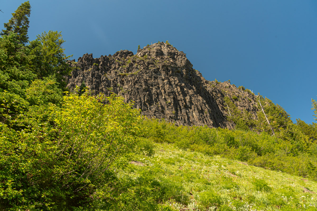
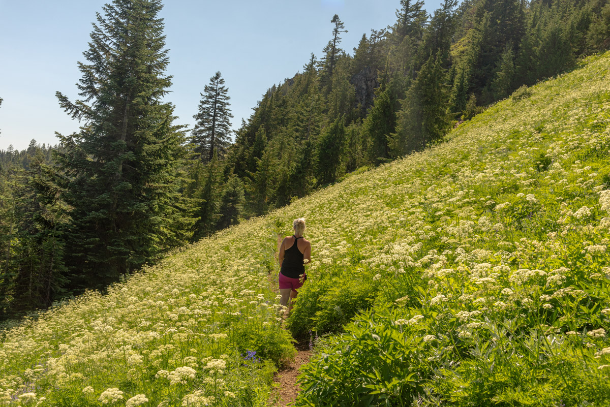
You will primarily be in the woods for the next half mile as you head north across a wide plateau. Then, the trail will swing right and you will find yourself just beneath Browder Ridge’s cliff lines summit. You will also leave the trees and mind yourself in flower filled meadows with amazing views towards the Three Sisters. The fields of Queen Anne’s Lace can be so thick, if feels like you are in fairytale.
You will pass under the entirely to the southeastern summit block of Browder Ridge and then enter the trees once more. Here, the trail will split one last time. If you are feeling up for it and have stellar knees, you could head straight and follow the trail ¾ of a mile to heart lake. Just know that the lake sits a good 600 feet below you and the trail is very steep and not maintained. Plus, you then have to climb back out of those 600 feet. But the option is there.
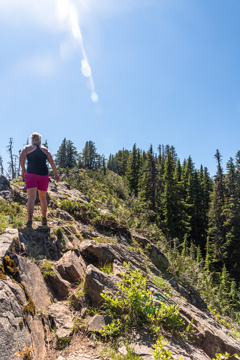
If you prefer to just continue the quarter mile to the summit of Browder Ridge, then head left. The trail will quickly leave the trees again and you will be in for a little scrambling as you head up a rocky, knife ridge. The trail can be discernable as it picks its way through the rocks, but just go slow and watch your footing. It will skirt a couple dense forest patches and then you will have one final, steep short climb up a grassy knob to the summit.
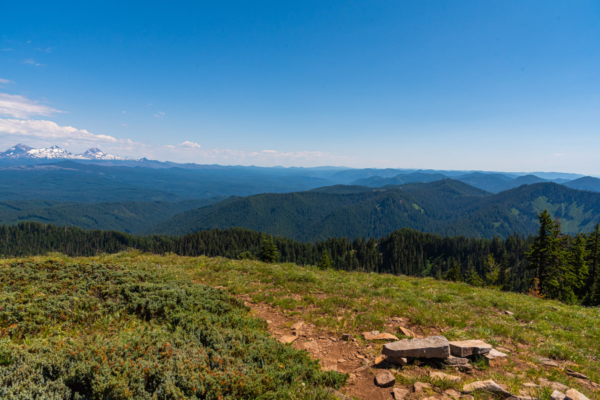
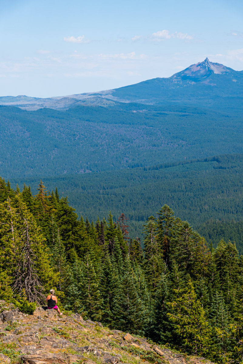
The summit of Browder Ridge is a broad grassy area with views that stretch from Mt Hood to Diamond Peak. There are even some rocks arranged as benches so you can sit and rest your tired feet. So enjoy the breeze, have a snack, and reap your rewards for a view well earned.
Directions
The Gate Creek Trailhead can be reach one of two ways, depending on which direction you are coming form. If it happens to be any way except from the south, i.e. Springfield/Eugene area, you will want to head south on Hackleman Creek Road off of Highway 20, 7 miles west of the junction with Highway 126 or 10 miles east of Tombstone Pass. Or if you are coming up Highway 126 form the Springfield area, make a right onto the south end of Hackleman Creek Road at Ikinick Sno-Park, right across the highway from Clear Lake.
From Highway 20, follow Hackleman Creek Road for 1.7 miles until you reach a junction direction you to Gate Creek Trailhead to your right. Things can get a little confusing because there appear to be other, well maintained gravel roads veering off from this one. But just stay to the left but don’t go down any marked snowmobile routes, and you should see the sign directing you to Gate Creek soon. From Ikinick Sno-Park, follow the road for 1.1 miles until you reach a T and then head right. Follow this for 2.8 more miles under you reach the above-mentioned junction.
Once on the road to Gate Creek, it’s just a straight forward 2.8 miles to the trailhead. The trailhead is not really marked, but watch for a parking area on the left right after you pass Gate Creek. There will be room to probably park 8 cars or so there. The trails leaves from the bottom of the parking area, close to the creek.
Things to Know
Passes:No passes are required
Dogs: Allowed and must be on leash or under voice control and all times.
Usage: Light
Open Season: The trailhead will likely be snow covered until late May, early June. Expect to find snow on the trail well into late June.
Bugs: The will likey be some mosquitoes during the snow melt season of June and July. There are also deer flies here. They bite. It hurts. They are assholes. Just a heads up.


