Jack Creek
Length: 1.1 miles
Elevation Gain: 70 feet.
Jack Creek is a beautiful creek that flows through the Ponderosa Pines into the Metolius River, near Camp Sherman. And, as is unusually common in this volcanic landscape, the creek just pops out of the ground through a hole in a hillside. This trail will take you to that creek hole.
Begin your hike at the Head of Jack Creek Trailhead, and head out on the dusty trail through the fields of Snowbrush and Manzanita through the old B&B fire scar. In a little less than a quarter mile, you will emerge from the brush and join a trail that travels along the creek. There will be a bench here at the junction. Make note of this bench for the return trek. If you continue past it along the creek, you will end up at the Jack Creek Campground. That is not where you started. Bad hiker.
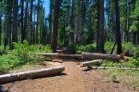
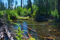
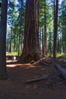
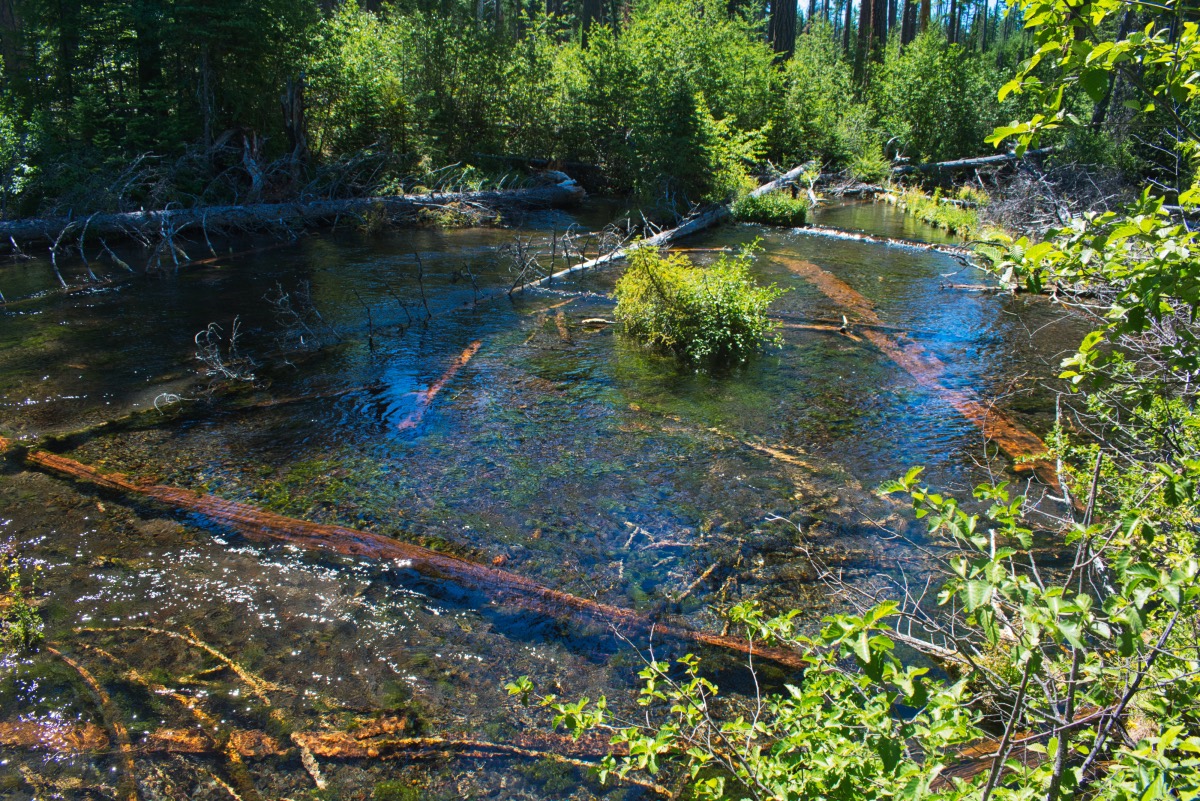
Anyway, once you reach this junction, head right and continue upstream. The trail travels through some giant, old growth Ponderosa Pines and Douglas Firs. And Creek is also like an oasis, with mossy branches and ferns lining its banks. There will be a few spots were you b=can break through the brush along the streambanks and mosey down to the creek. Jack Creek is beautiful and clear and it flows over countless downed logs.
It is less than half a mile from the trail junction to the head of Jack Creek. As you approach the spring, the vegetation along the creek disappears and you can stroll right along the stream. There are numerous places to plop down for a little picnic and to soak your feet in some ice-cold water, and maybe let the kids splash around a little.
As you continue upstream, you will come to a point where the stream just flows out of a hole in the hillside. You did it. You found the head of Jack Creek. Explore around and check out the marvel that is a full formed creek just emerging from the ground. Then you can head back. But don’t forget to turn at the bench!
Directions
To reach the Head of Jack Creek trailhead, take Highway 20 north from Sisters for about 12 miles. Turn right onto Forest Road 12, just before the highway makes a sharp turn to the left and heads past Suttle Lake. Stay on 12, which remains paved, for about 4 miles, until you see a sign for Jack Creek. Head to the left, on Road 1230, which soon take you over a bridge that spans Jack Creek. This section of the road, although paved, is littered with giant potholes everywhere, so keep your eyes open and drive slow. After crossing over Jack Creek, head to the left towards Jack Creek campground. Rather than enter the campground, stay on the red cinder road for 1.5 miles until the road ends at the trailhead. There will be a few side roads along this stretch, but just stay on the main looking, rocked road and you will get there.
Things to Know
Passes: No passes are required.
Dogs: Allowed and must be on leash or under voice command at all times.
Usage: Light
Open Season: The trailhead will likely be accessible during most of the year, but covered in snow during the winter months.


