Metolius - Lower Bridge Loop
Distance: 5.8 miles
Elevation Gain: 200 feet.
The Metolius River is one of the largest spring-fed rivers in the United States. The river’s crystal-clear water emerges from the base of Black Butte nearly fully formed. The lack of sediment in the water creates a beautiful blue and turns to a turquoise as it spills over logs and rocks. The Lower Bridge Loop will allow to stroll along both of its banks has you head up and then back down the far side of the river. Oh, and visit the Wizard Falls Fish Hatchery as well.
You can begin you hike form either end of the trail, but it is much easier to find a place to park at the northern end at Lower Bridge than at Wizard Falls Fish Hatchery, so we will begin our hike there. You can hike either direction, but we decided to hike up the western bank first to take advantage of the afternoon shade. So head over the bridge and head upstream into a little picnic and parking area and look for the trail exiting out of the far end of it.
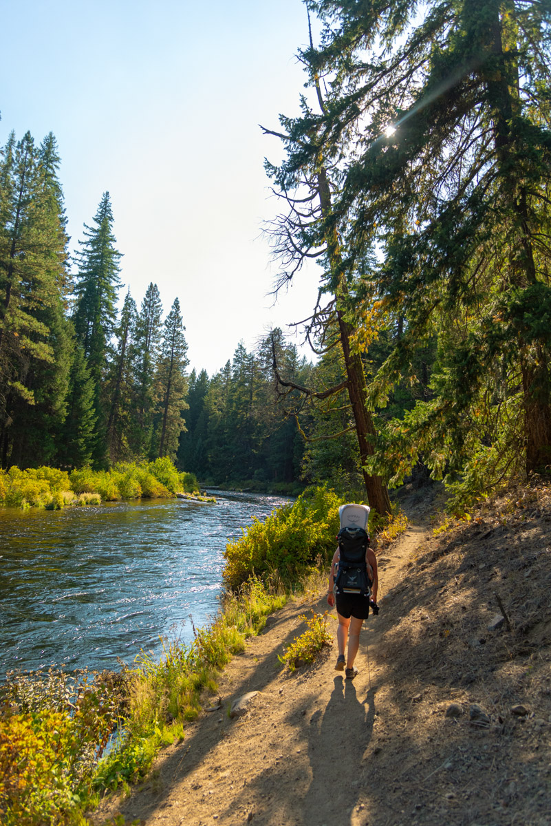
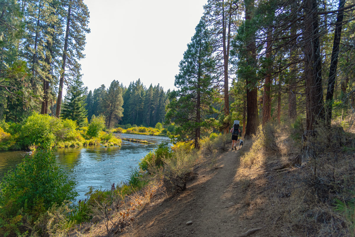
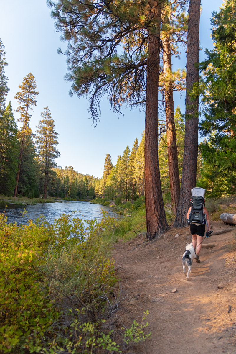
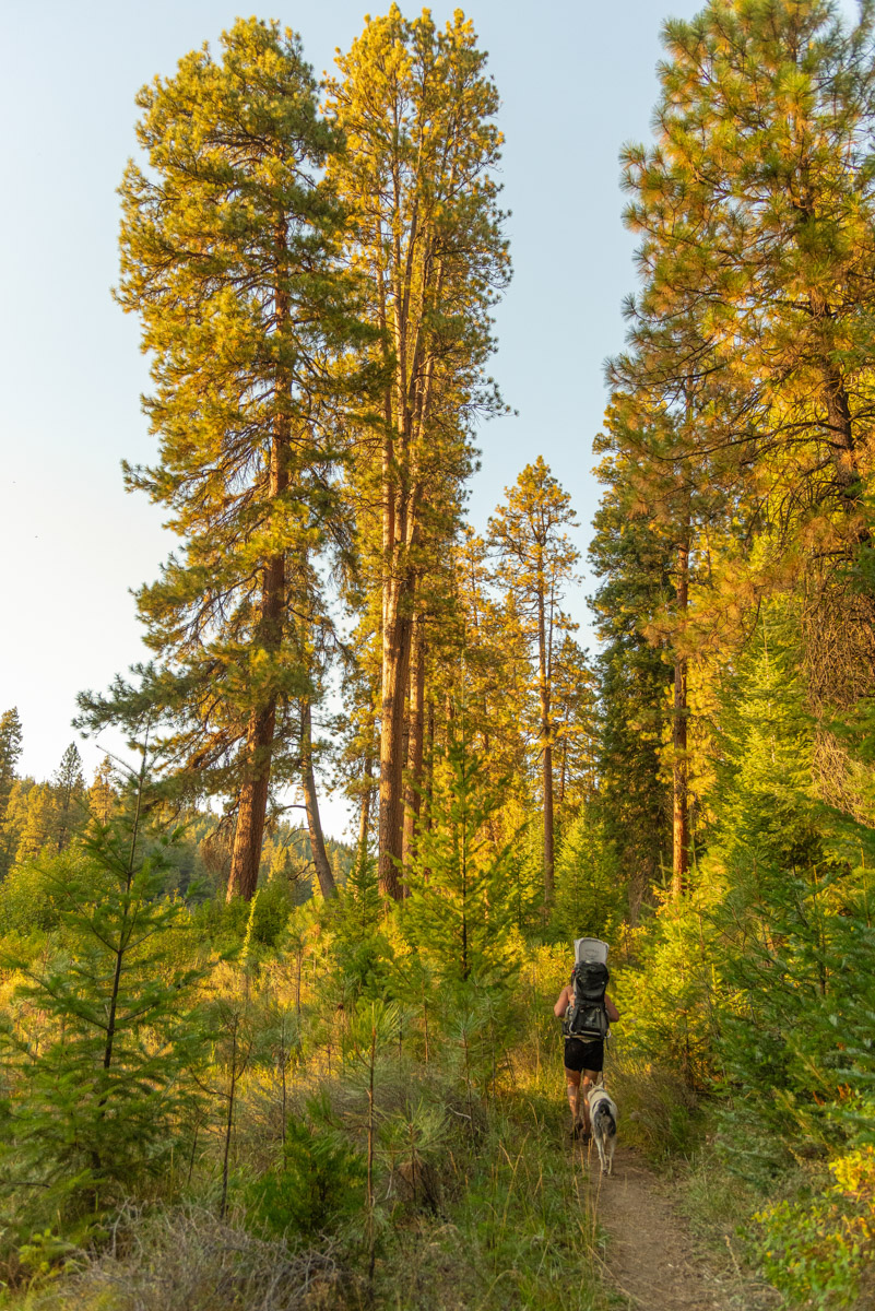
The trail hugs the riverbanks for the first ¾ of a mile. The waters appear so clear, its like you don’t have to even look through anything to see the cobbly bed below. There are quite a few rodent holes along the trail though, especially when you are close to the river, so watch your step. After ¾ of a mile, the trail turns sharply to the right and you begin a mile long stretch through the woods, avoiding a section of private property. Enjoy the shade and trees and you will be back along the river before you know it.
Once the trail returns to the Metolius, it will continue along the riverbanks for over another mile as it makes its way to the Wizard Falls Fish Hatchery. if you have the time, be sure to check out the hatchery itself. The settling pond at the far end of the hatchery has some huge fish just begging to be fed. Head to the far end of the hatchery and take the bridge over the river. Just upstream of the bridge if beautiful Wizard Falls where the river flows over a rock shelf just below the surface and turns the most amazing blue.
After passing over the bridge, find the trail heading back downstream on your left. This trail is similar to the one on the way up, except you are looking the other way. (Duh). Also, you will pass through a couple campgrounds along the way. About half a mile after Wizard Falls, you will reach Allen Springs Campground. You can choose to follow the trail along the river, or just cut through the campground. The trail is prettier, but it is also pretty overgrown.
Another half mile past Allen Springs will lead you back to the section of private property you have to skirt. This side of the river as the houses and cabins you can ogle at as you stroll on by. A half mile form the end of the trail, you will reach another campground, Pioneer Ford. Here, the actual trail does go through the campground, but there is a user trail that skirts it as well. As before, the riverside trail is brushy and overgrown. When the trails split, head right for the campground and left for the user trail. After you leave Pioneer Ford, you will find yourself back at Lower Bridge in no time.
Directions
The reach the Lower Bridge Campground trailhead from Sisters, head 9.5 miles northwest on Highway 20. Turn right onto Camp Sherman Road at the signs directing you to Camp Sherman. Follow this road for 2.2 miles and then bear right onto National Forest Road 14 towards the Head of the Metolius and “campgrounds”. Follow the paved road for 8.8 miles past Camp Sherman and Wizard Falls Fish Hatchery until you reach Lower Bridge. There is a parking area here on your left or you can head over the bridge to find another parking and picnic area to the left there as well.
Things to Know
Passes: No passes are required.
Dogs: Allowed and must be on leash or under voice command at all times. If you wish to explore Wizard Falls Fish Hactchery, leashes are required on their grounds.
Usage: Light, Heavy at the hatchery.
Open Season: Depending on snow, can be accessed for most of the year.


