West Metolius Trail
Length: 4.8 miles
Elevation Gain: 190 feet.
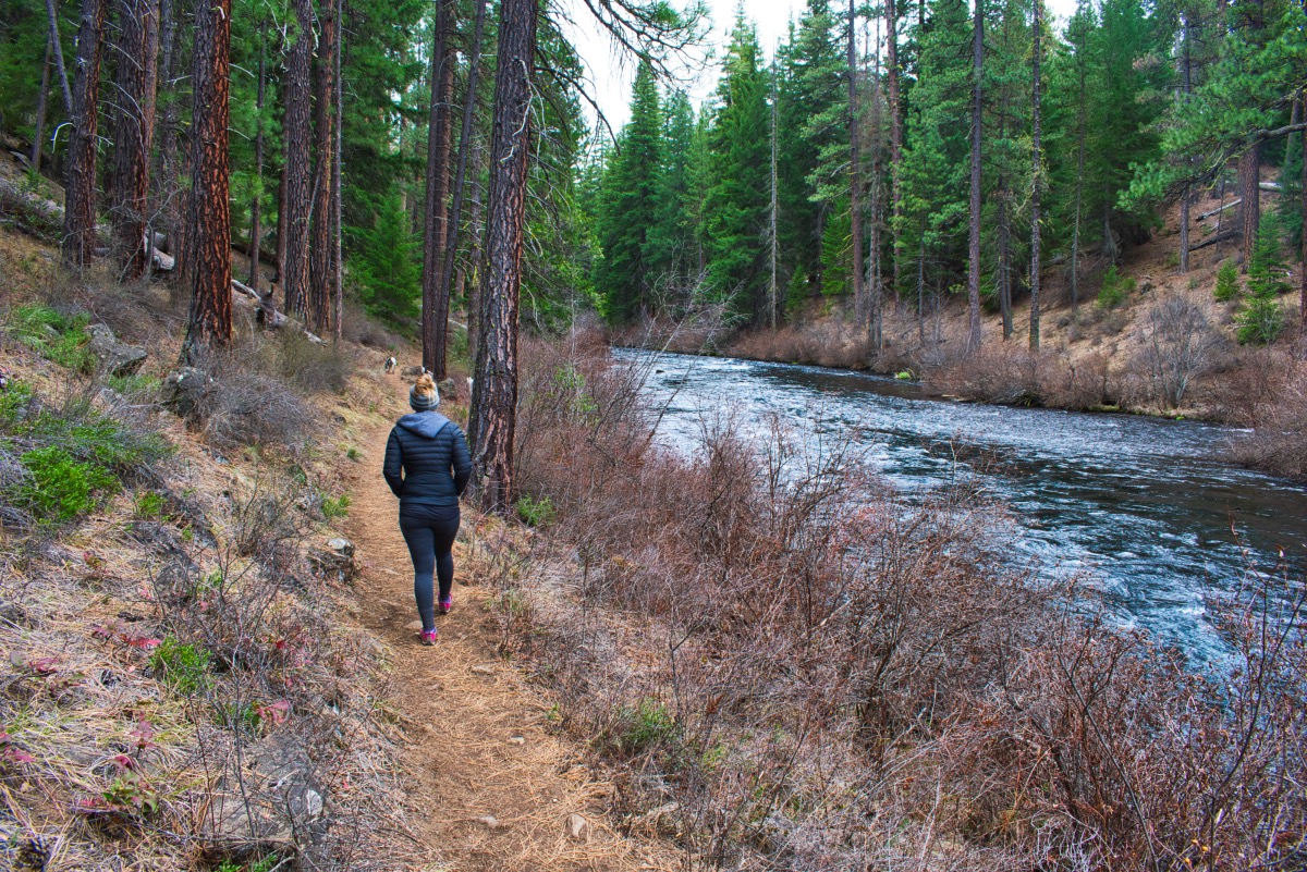
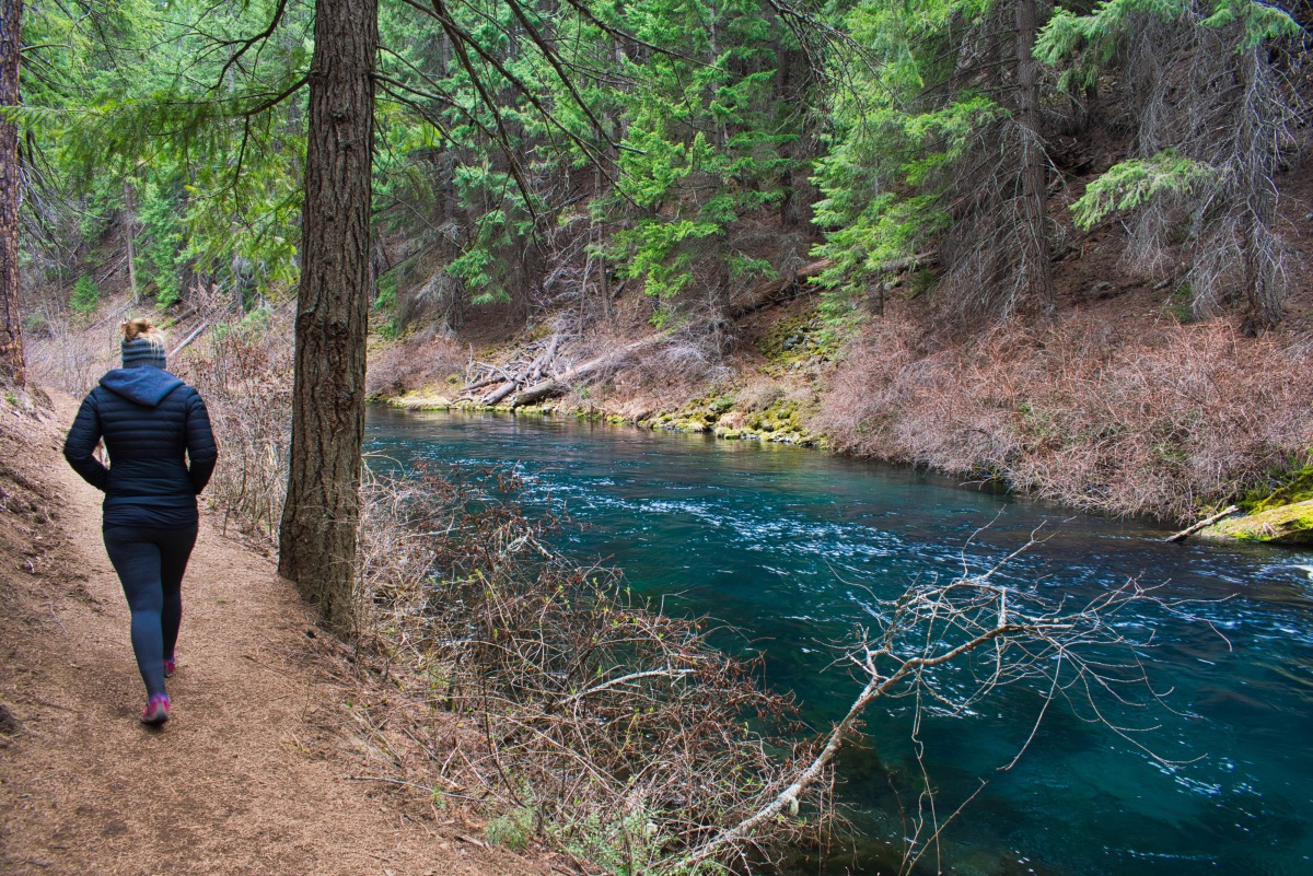
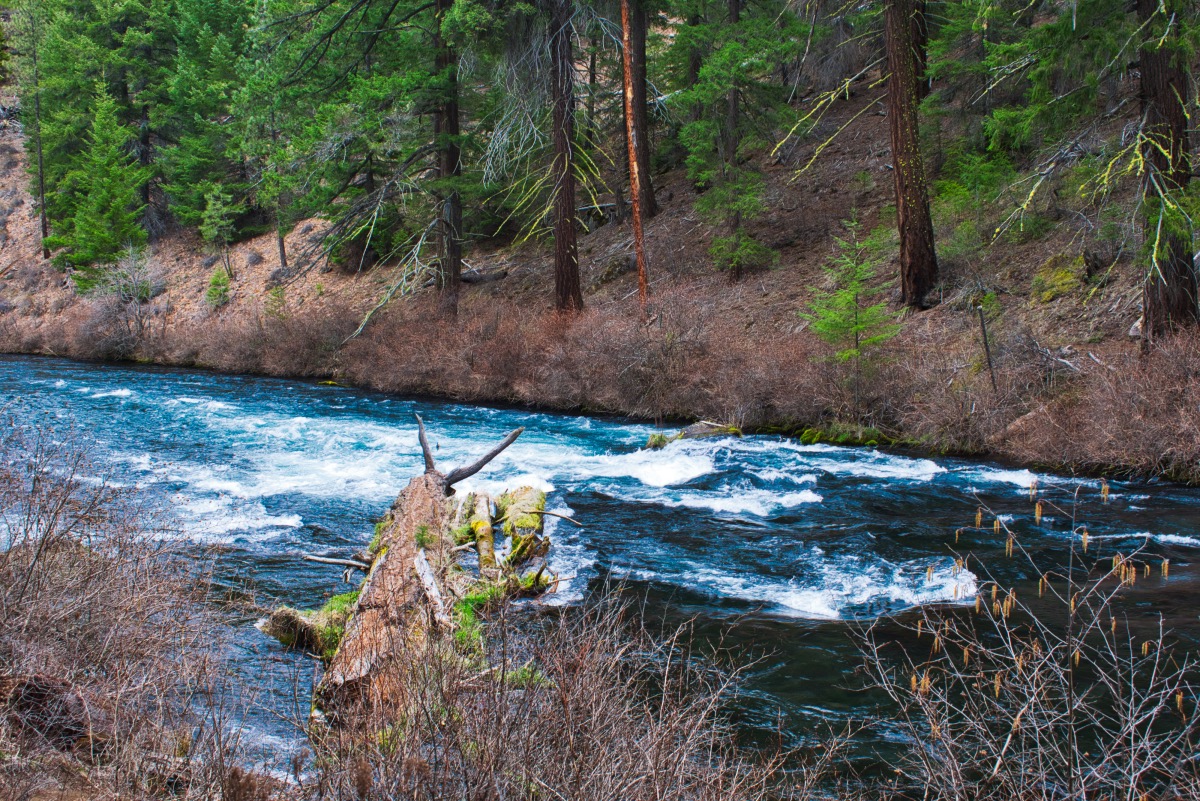
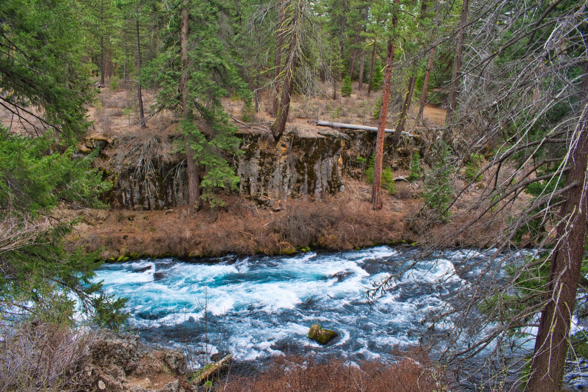
The Metolius River is one of the largest spring-fed rivers in the United States. The river’s crystal-clear water emerges from the base of Black Butte nearly fully formed. The lack of sediment in the water creates a beautiful blue and turns to a turquoise as it spills over logs and rocks. The West Metolius River trail gives you the chance to walk along one of the prettiest sections of the river, avoiding the crowds that form at the head of the Metolius, but still get the chance to see some rapids and a huge spring in a more remote setting.
You can begin you hike form either end of the trail, but it is much easier to find a place to park at the southern end, near the Lower Canyon Creek Campground than at Wizard Falls Fish Hatchery, so we will begin our hike there. The trail leaves from the western end of the trailhead and heads towards the river. Once you reach the pristine waters, follow the trail as it follows the Metolius downstream.
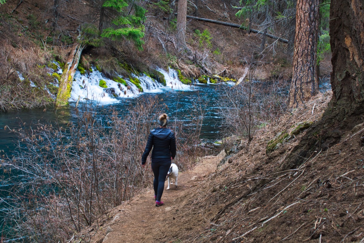
The trail will first round a large meander in the river, as it turns a full 180 degrees around a ridge. At this bend, you will encounter a huge spring on the far side of the river. It appears as if a whole other river emerges from the bushes and spills into the Metolius. This spring isn’t labeled on any USGS maps, but my research has found many references to this as Gushing Spring. However, I have also found other sites refer to it as a gushing spring. So whether someone went with the adjective and turned it into a noun, or if it actually called Gushing Spring, we may never know, but it is pretty impressive.
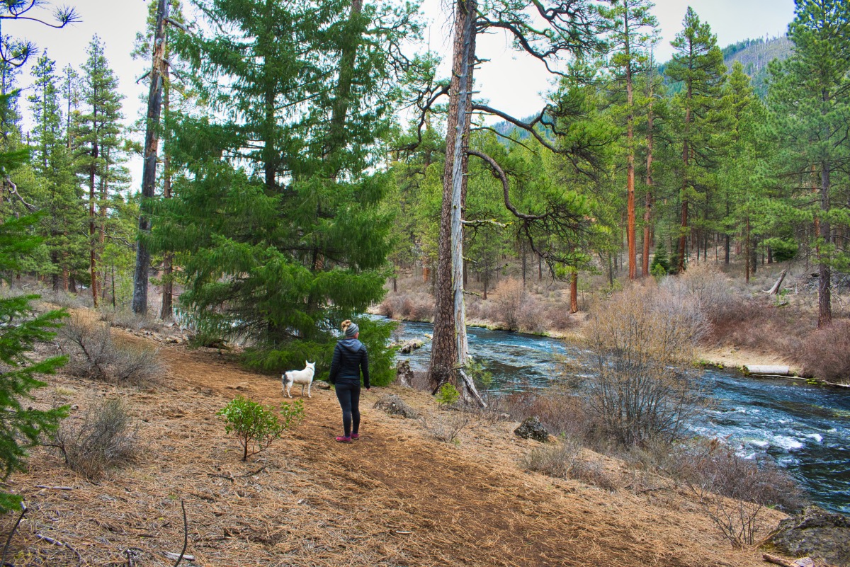
Following the trail as it continues around the bend, the trail travels through a beautiful forest of incense cedar, ponderosa pine, and Douglas fir. During the summer, wildflowers such as lupine and columbine will line the trail. The Metolius continues in a northward direction for the remainder of the hike, and the trail will hug its banks for the majority. Everywhere you encounter rapids along the trail, watch for the beautiful hues of color in the water.
After 2.4 miles, the trail will dump you out at Wizard Falls Fish Hatchery. Be sure to check out the rapids that make up the falls, viewable from the bridge and along the trail just prior to the hatchery. These falls have some of the most beautiful coloring of water I have ever seen. And, if you have the time, be sure to check out the hatchery itself. The settling pond at the far end of the hatchery has some huge fish just begging to be fed.
Directions
The reach the Lower Canyon Creek Campground trailhead from Sisters, head 9.5 miles northwest on Highway 20. Turn right onto Camp Sherman road at the signs directing you to Camp Sherman. You will want to stay straight on this road for the 5.5 miles, heading straight at a stop sign at the 2.2 mile mark. After 5.5 miles, you will see a sign directing you to the campground on your right. It’s ¾ of a mile on a potholed dirt road to reach the trailhead.
Things to Know
Passes: No passes are required.
Dogs: Allowed and must be on leash or under voice command at all times. If you wish to explore Wizard Falls Fish Hactchery, leashes are required on their grounds.
Usage: Moderate, Heavy at the hatchery.
Open Season: Depending on snow, can be accessed for most of the year.


