Patjens Lakes
Distance: 7.1 miles.
Elevation Gain: 740 feet.
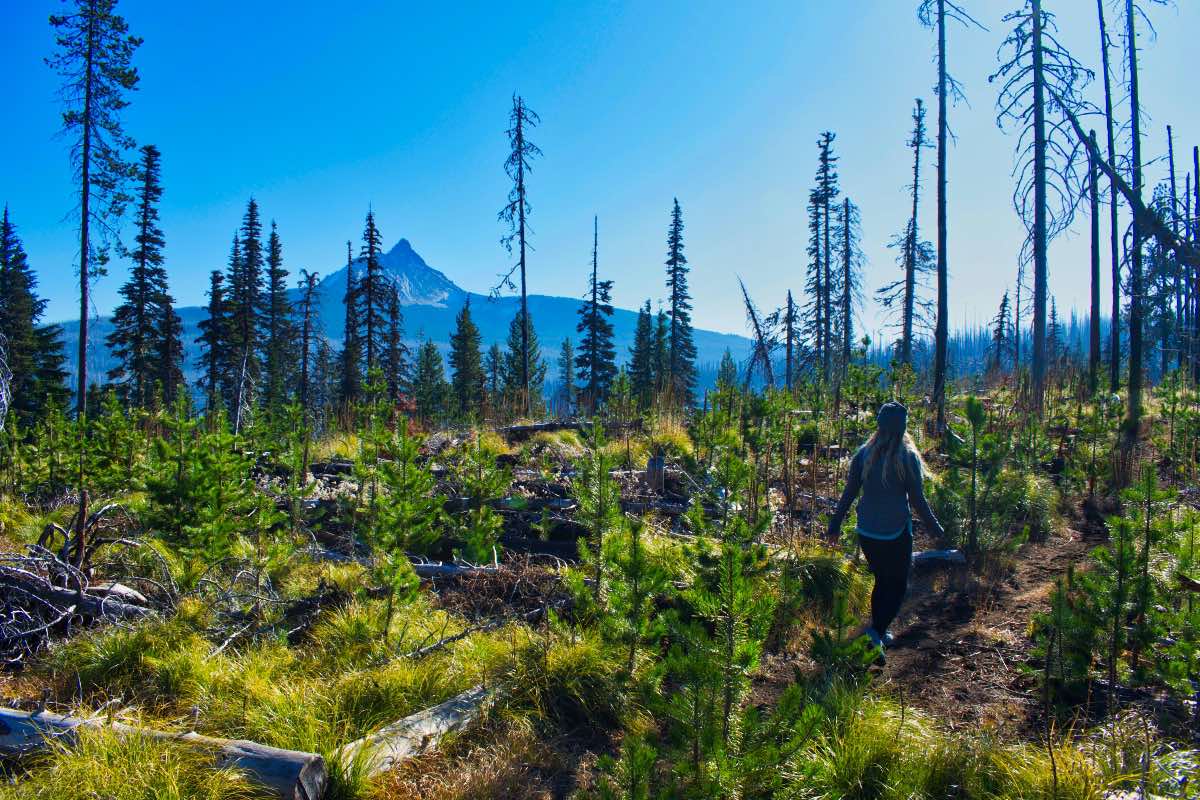
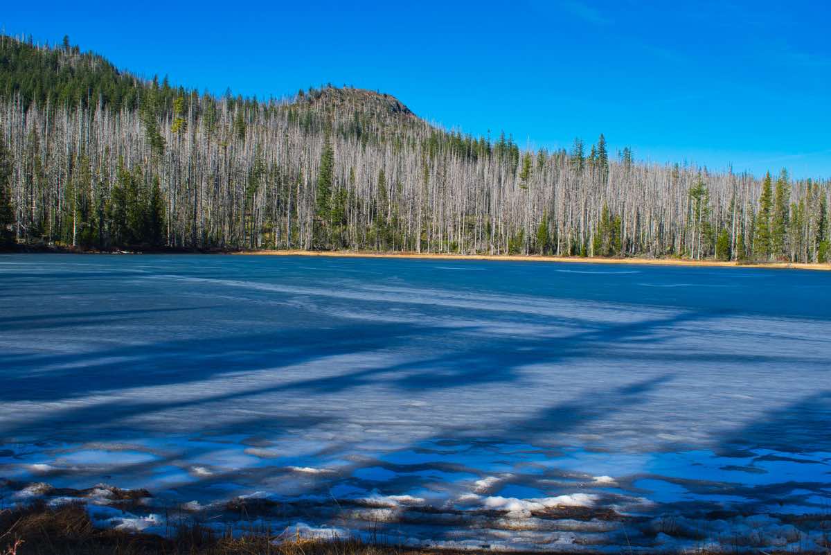
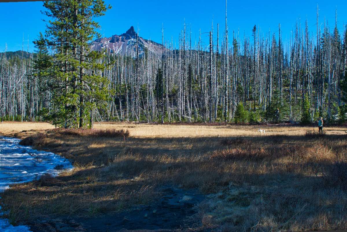
The Patjens Lakes trail guides you along a beautiful loop through the Mt Washington Wilderness, past the three small lakes and then later, traversing the shores of Big Lake. The 10,000 acre Shadow Lake fire scorched much this area in 2011, but the forest is recovering nicely and the views are more expansive than ever. Wildflowers abound, especially beargrass, if you plan your trip for the right time of year. Just be prepared to be stepping over logs, as there is a lot of blowdown along the trail.
Begin your hike from the Patjens Lakes trailhead, near the western shore of Big Lake. The trail travels 0.2 miles before hitting the junction with the loop. It is best to head to the right and walk the loop counter-clockwise, as this grants you the best views. You will also notice a small pond to your left, one of many, as you begin the loop.
The trail slowly heads downhill for a little over a mile before climbing about 300 feet to a ridgetop. From the top of this ridge, the Three Sisters pop into view and the views really open up to the south. Also, as you head down the far side of the ridge, you will get a break from the searing sun in the burn scar as you enter the lush, green forest. You will remain in the forest for about 1.7 miles, or just before you reach the middle Patjens Lake, with the exception of a small burned area near a pond at the bottom of the ridge.
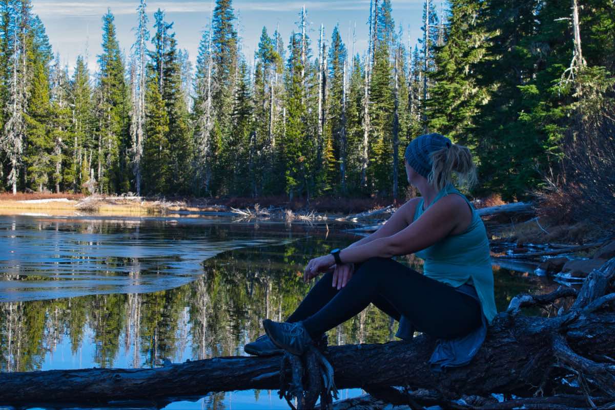
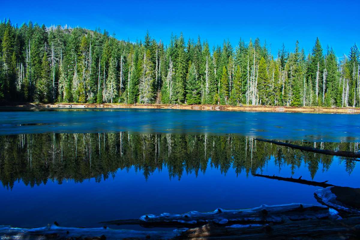
The first Patjens Lake, Lower Patjens, is found 3.7 miles into the hike. The shores of this lake can be difficult to reach as there is a lot of brush and small trees growing along the banks. If you are wanting to chill next to some water, heading about 0.4 miles further along the trail would be your best bet, and hang out in the grassy meadows next to Middle Patjens Lake. The views towards Mt Washington are splendid and the grassy meadow makes for a nice picnic spot. Swimming is also an option if you are up to it. The third lake is also very pretty but shallow, and will sometimes mostly dry up later in the year.
After leaving the upper lake, keep trekking through the burn for about 1.5 miles on your way towards Big Lake. Once reaching the lake, keep your eyes open for some nice, sandy beaches. This is a great lake to take a dip in and to wash off all that dust from your aching body. Across the lake, both Hoodoo and Hayrick Butte loom large. Hayrick Butte is especially interesting, being that it is a tuya, or a volcano that erupted underneath a glacier, producing its signature flat top and nearly vertical sides. The trail continues towards the west along the southwestern shore of the lake. Be sure to look behind you occasionally as you climb, because the views of Mt Washington keep getting better and better.
About halfway up the western shore, the trail splits, with an unmaintained trail staying along the lake and ending at the boat ramp area. The main trail heads to the left and around a knoll and then completes the loop. There’s maybe a quarter mile difference between the two, with the hike back up the road from the boat ramp being the shortest, so make your choice, young one, and enjoy your final steps.
Directions
To reach the Patjens Lakes trailhead, head towards the Hoodoo Ski area at the summit of Santiam Pass on Highway 20. Head south at the entrance to Hoodoo and travel 0.9 miles til you see the official entrance to Hoodoo. Skip the entrance and stay to the left. Stay on the paved road for another 3 miles. You will see the trailhead on the right. If you drive all the way to the boat ramp at the lake, you’ve gone too far. So head back about ¼ mile and you should find it.
Things to Know
Passes: A free, self-issue wilderness permit is required upon entering the wilderness. A Central Cascades Wilderness Overnight Permit will be required to camp in this area between June 15th and October 15th. The permits will be available from recreation.gov and will go on sale in early April. The day-use permit is not required from this trailhead. A free, self-issue wilderness permit is required upon entering the wilderness.
Dogs: Allowed and must be on leash or under voice command at all times.
Usage: Light
Open Season: Whenever the snow is gone. They will gate the road just past Hoodoo near the SnoPark in the winter, but the trailhead is reachable from May/June through Novemeber most years.
Bugs: Mosquitos can be bad during the melt season, usually into mid July.
Flowers: Different flowers will bloom depending on elevation, but July and early August are usually peak months.


